Ash Wood
Wood, Forest in Essex Colchester
England
Ash Wood
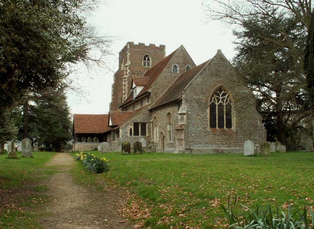
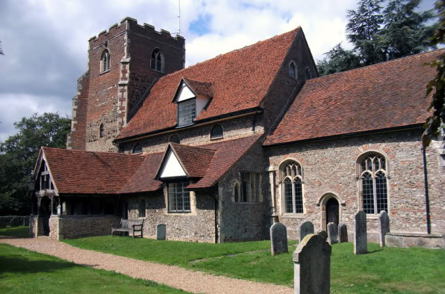
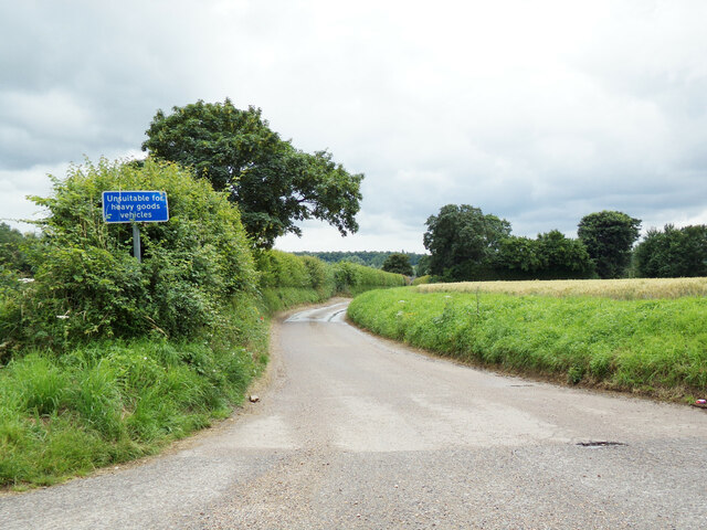
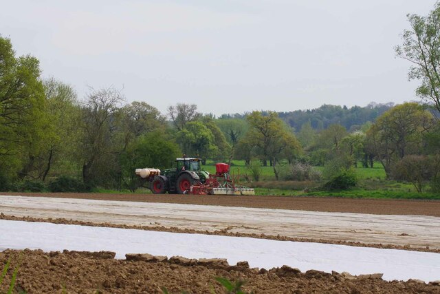
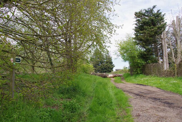
Ash Wood is a small village located in the county of Essex, England. Situated within the larger district of Uttlesford, it is surrounded by picturesque countryside and is known for its beautiful wooded area, which gives the village its name. The wood, also known as Ash Forest, covers a significant portion of the village's land, providing residents and visitors with ample opportunities for outdoor activities and nature exploration.
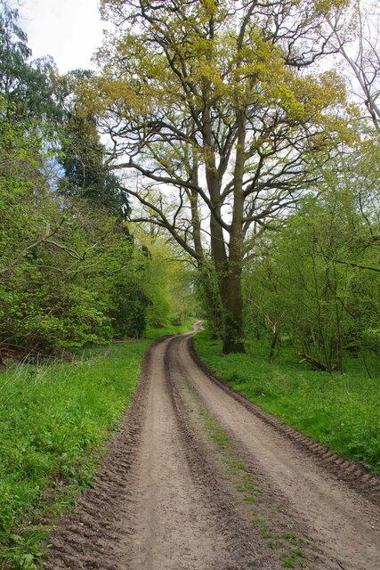
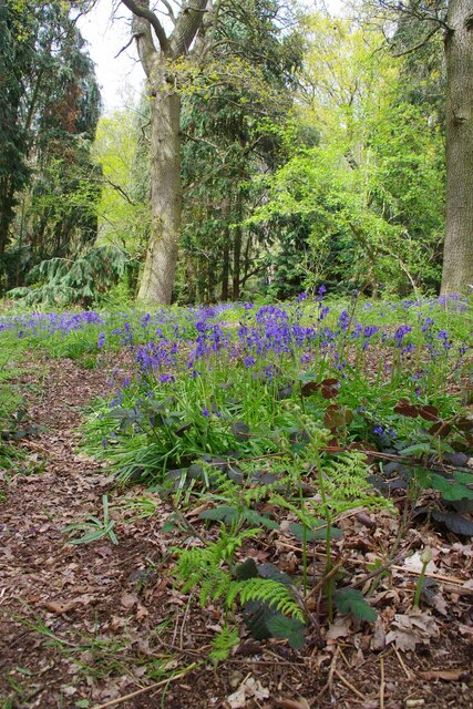
The wood itself is characterized by a dense canopy of ash trees, which create a serene and tranquil atmosphere. The trees, known for their tall and slender trunks, form a stunning backdrop against the clear blue sky. The forest floor is covered with a thick layer of fallen leaves, creating a colorful carpet during autumn months.
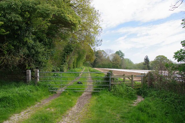
Ash Wood has become a popular destination for nature enthusiasts and hikers, who can enjoy the numerous walking trails that wind through the forest. These trails offer a chance to observe the local flora and fauna, with sightings of deer, birds, and various small mammals being common.
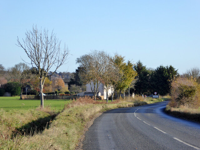
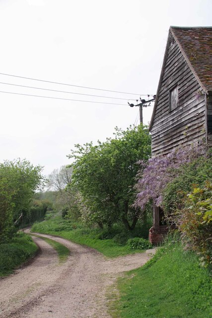
In addition to its natural beauty, Ash Wood is also home to a small community of residents. The village itself is quaint and charming, with traditional English cottages lining its streets. The residents enjoy a close-knit community atmosphere and benefit from the peaceful and idyllic surroundings.
Overall, Ash Wood in Essex is a picturesque village known for its stunning woodland area, offering a perfect retreat for those seeking a peaceful and nature-filled environment.
If you have any feedback on the listing, please let us know in the comments section below.
Ash Wood Images
Images are sourced within 2km of 51.963634/0.92736878 or Grid Reference TM0133. Thanks to Geograph Open Source API. All images are credited.

Ash Wood is located at Grid Ref: TM0133 (Lat: 51.963634, Lng: 0.92736878)
Administrative County: Essex
District: Colchester
Police Authority: Essex
What 3 Words
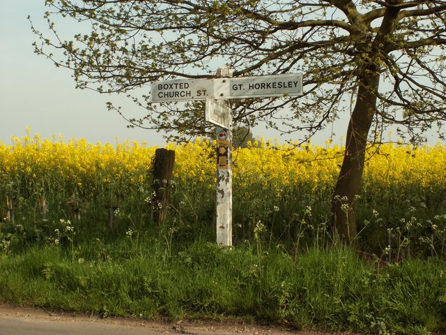
///clutter.column.rainfall. Near Boxted, Essex
Nearby Locations
Related Wikis

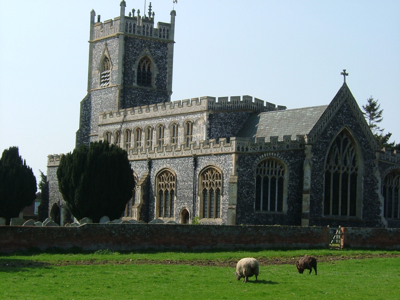
Boxted House
Boxted House is a Grade II listed house in Boxted, Essex. It was built in about 1830.It was home to the advertising executive Bobby Bevan (1901-1974),...
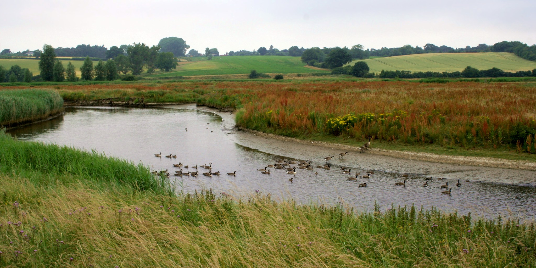
Dedham Vale
Dedham Vale is a designated Area of Outstanding Natural Beauty on the Essex-Suffolk border in east England. It comprises the area around the River Stour...
Boxted, Essex
Boxted is a village and civil parish in the City of Colchester district of Essex, England. It is located approximately 5 miles (8 km) north of Colchester...

Thorington Street
Thorington Street is a large hamlet on the B1068 road, in the Babergh district, in the English county of Suffolk. The hamlet is part of the civil parish...

River Box
The River Box is a small river, 14 miles (23 km) in length, that flows through Suffolk, England. It is a tributary of the River Stour. == Toponymy == The...

Langham, Essex
Langham is a small village in the City of Colchester district of Essex, England. == History == There is little evidence of pre-Roman occupation of what...
Stratford St. Mary
Stratford St. Mary is a village in Suffolk, England in the heart of 'Constable Country'. John Constable painted a number of paintings in and around Stratford...

River Brett
The River Brett is a river in Suffolk, England. Its source is in the villages to the north of Lavenham and it flows through Hadleigh to its confluence...
Related Videos
![#77 The Real Life Hay Wain Location in Flatford & Constable Country [Cinematic Hiking Vlog]](https://i.ytimg.com/vi/JNcDuRfa2uY/hqdefault.jpg)
#77 The Real Life Hay Wain Location in Flatford & Constable Country [Cinematic Hiking Vlog]
The Hay Wain is John Constable's most famous painting, featuring Willy Lott's Cottage and the River Stour dividing the counties of ...

Constable Country 6km Loop Walk
Welcome to the Dedham Vale, where you can track the influences, vistas, and inspirations that gave us John Constable, widely ...

A walk to remember | Holland-on-Sea to Frinton-on-the-Sea | Coffee morning group walk
Friends gathering together for a walk and catching up with each other is i think one of the best past times a group could have.
Wild Camping - 60km 2 day Thru-hike, Sudbury to Weeley, May 2021 - Day 2 - Andake Ultralight
Spring has finally sprung so it was time to get back out. A beautiful walk through the heart of Constable country. Their will be more ...
Have you been to Ash Wood?
Leave your review of Ash Wood below (or comments, questions and feedback).