Hay Grove
Wood, Forest in Essex Colchester
England
Hay Grove
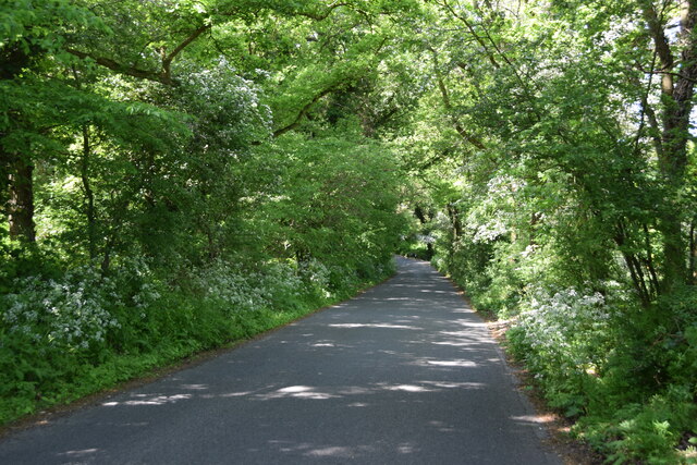
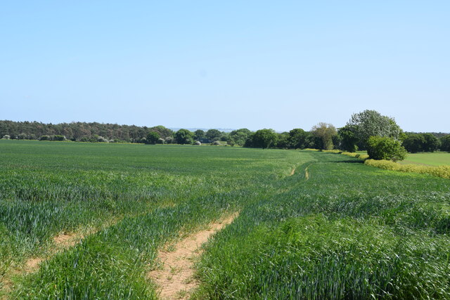
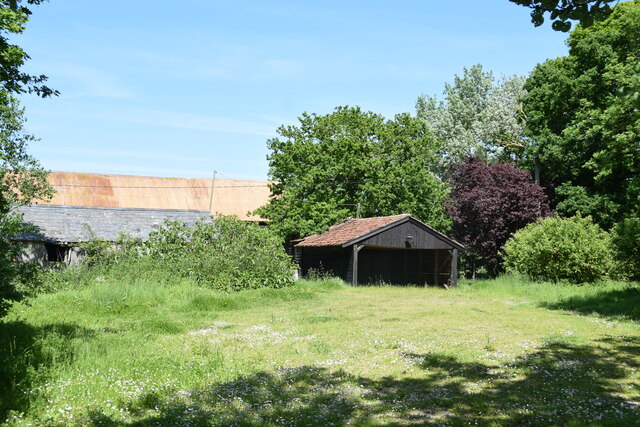
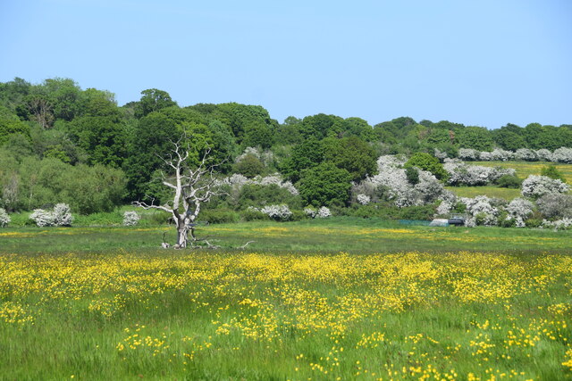
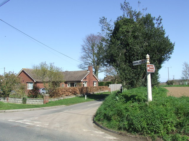
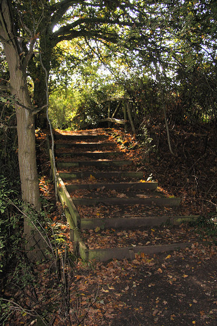
Hay Grove is a small wood located in the county of Essex, in the southeast of England. Situated in the district of Epping Forest, it is a part of the wider Epping Forest complex, which covers over 2,400 hectares of land. Hay Grove is known for its picturesque landscape, characterized by a dense forest cover and a variety of tree species.
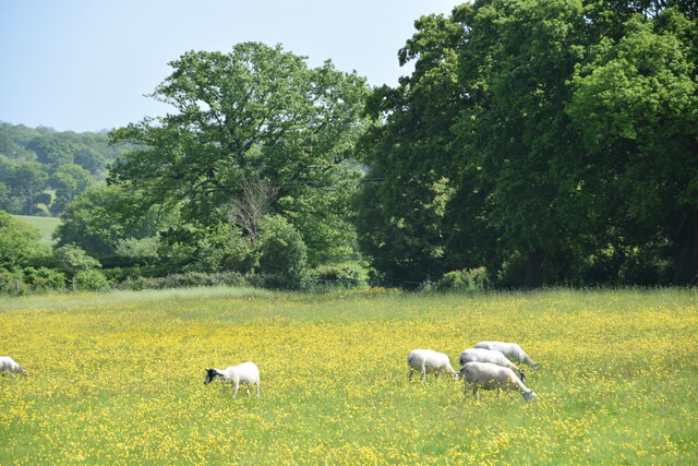
The wood is predominantly composed of oak and beech trees, with some areas featuring birch and hazel. This diverse range of vegetation provides a habitat for a wide array of wildlife, including birds, mammals, and insects. Visitors to Hay Grove can often spot species such as woodpeckers, deer, and butterflies, making it a popular destination for nature enthusiasts and photographers alike.
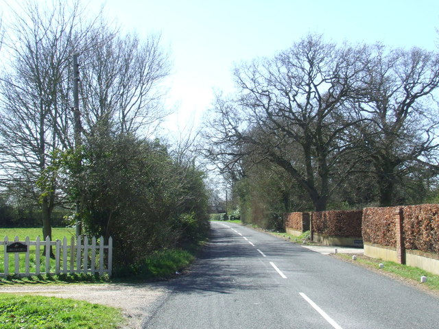
There are various walking trails and footpaths that wind their way through Hay Grove, offering visitors the opportunity to explore and appreciate its natural beauty. The wood is also intersected by a small stream, adding to its charm and providing a tranquil setting for those seeking peace and tranquility.
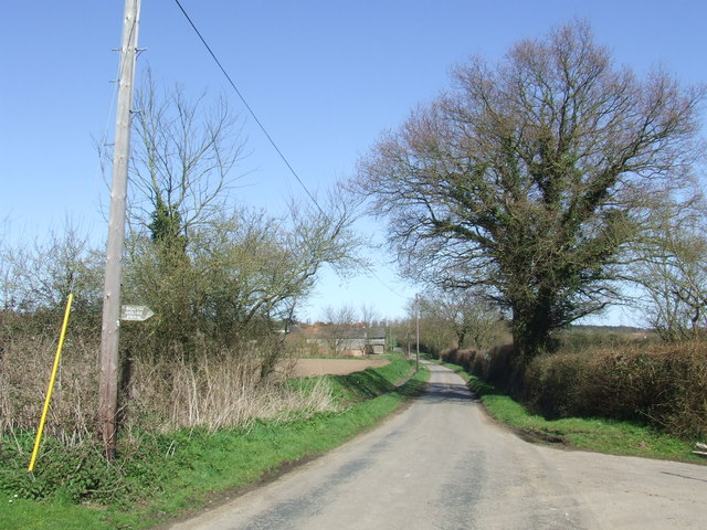
Hay Grove is easily accessible by road, with parking facilities available nearby. The wood is open to the public throughout the year, and admission is free. It is managed by the Epping Forest District Council, which aims to preserve and protect the natural environment of the area.
Overall, Hay Grove in Essex is a delightful woodland retreat, offering a sanctuary for both wildlife and visitors seeking a serene escape in nature.
If you have any feedback on the listing, please let us know in the comments section below.
Hay Grove Images
Images are sourced within 2km of 51.843812/0.91943916 or Grid Reference TM0120. Thanks to Geograph Open Source API. All images are credited.
Hay Grove is located at Grid Ref: TM0120 (Lat: 51.843812, Lng: 0.91943916)
Administrative County: Essex
District: Colchester
Police Authority: Essex
What 3 Words
///jazz.sits.mole. Near Rowhedge, Essex
Nearby Locations
Related Wikis
Abberton, Essex
Abberton is a village in the City of Colchester district of Essex, England. It is located approximately 0.62 mi (1.00 km) east of Abberton Reservoir and...

Roman River SSSI
Roman River is a 275.6-hectare (681-acre) biological Site of Special Scientific Interest (SSSI) south of Colchester in Essex. Two areas, Friday Wood and...
Langenhoe
Langenhoe is a village in the City of Colchester district of Essex, England, located south of Colchester. According to the 2001 census it had a population...
Fingringhoe
Fingringhoe is a village and civil parish in the City of Colchester district of Essex, England. The centre of the village is classified as a conservation...
East Donyland
East Donyland is a civil parish in the City of Colchester district of Essex, England. The civil parish includes the village of Rowhedge. The parish touches...

Donyland Lodge
Donyland Lodge was an independent school in Rowhedge, Colchester in the United Kingdom The school catered for children with complex behavioural, social...

Berechurch
Berechurch is an suburb of Colchester in Essex, England. Berechurch was formerly a separate civil parish. In 1891 the parish had a population of 167. On...
Rowhedge
Rowhedge is a village in the Colchester borough of Essex, England. It is located just over 3 miles (4.8 km) south-east of Colchester town centre and is...
Nearby Amenities
Located within 500m of 51.843812,0.91943916Have you been to Hay Grove?
Leave your review of Hay Grove below (or comments, questions and feedback).