Layham Grove
Wood, Forest in Suffolk Babergh
England
Layham Grove
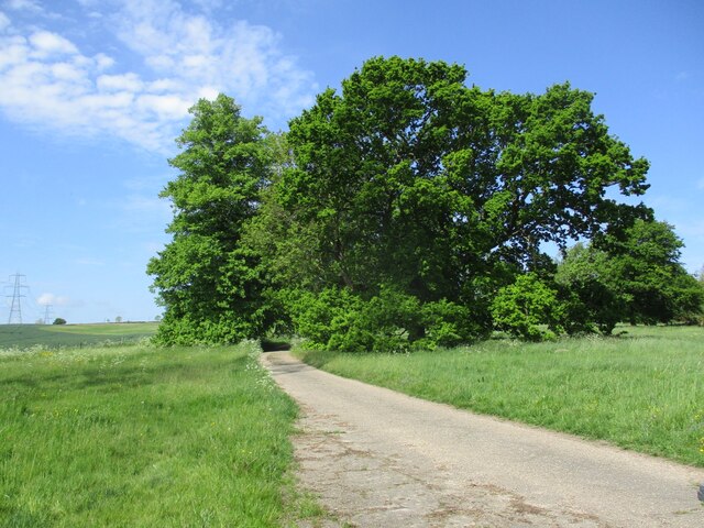
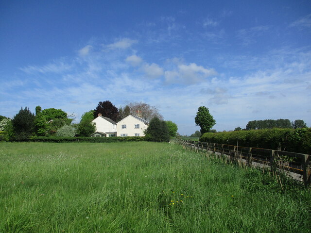
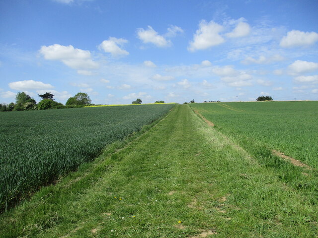
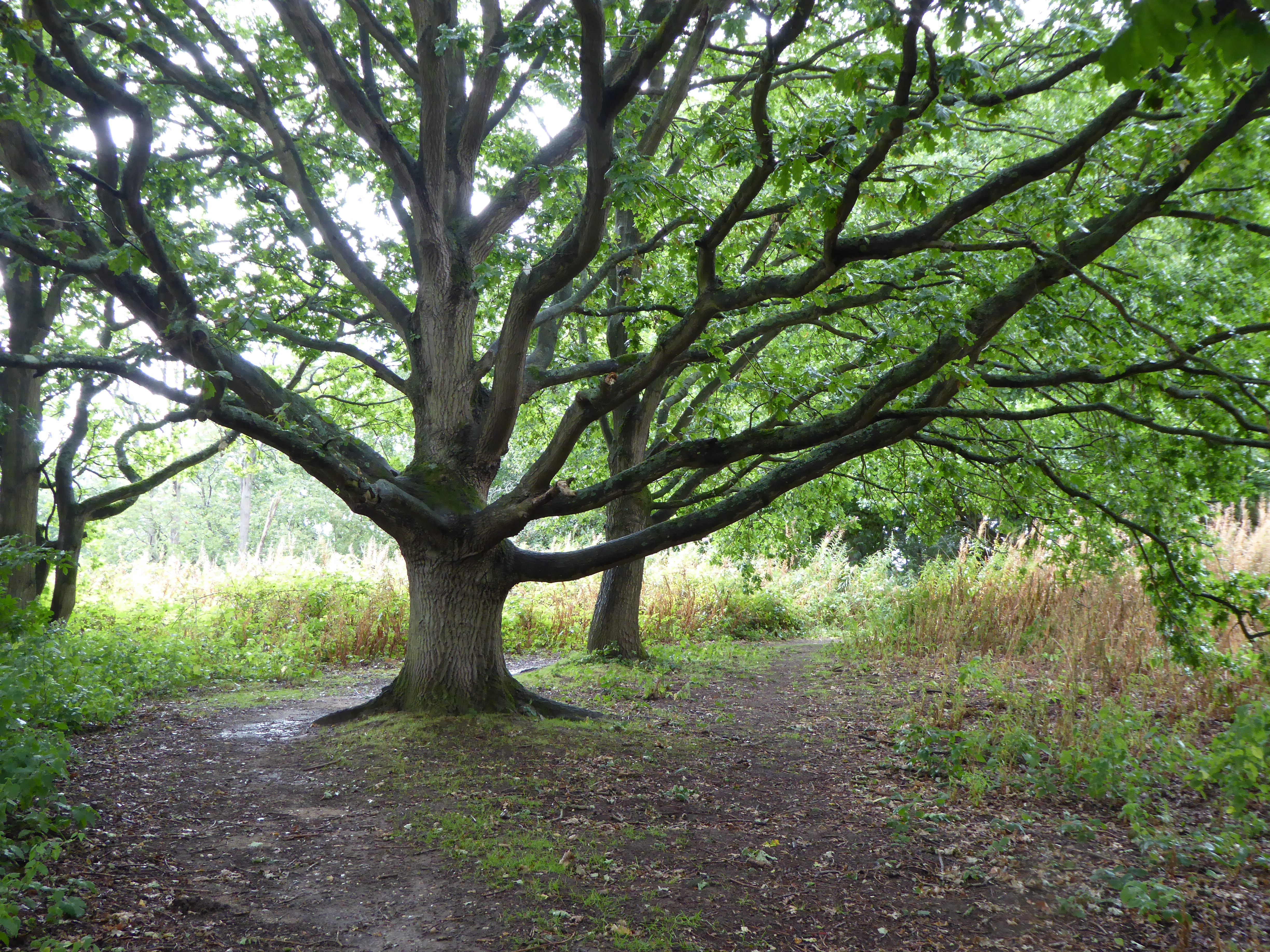
Layham Grove is a serene and picturesque woodland located in Suffolk, England. Nestled within the breathtaking Suffolk countryside, this enchanting forest spans over 300 acres of land, providing a haven for nature enthusiasts and outdoor lovers alike.
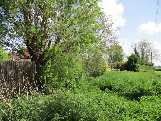
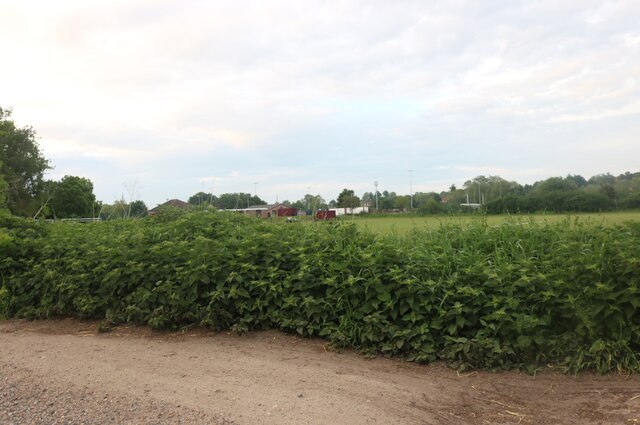
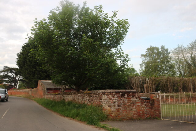
The grove is known for its diverse range of trees, including oak, beech, and birch, which create a rich and vibrant tapestry of colors throughout the seasons. The forest floor is adorned with a carpet of bluebells in the spring, while in the autumn, the foliage transforms into a spectrum of golden and red hues, painting a breathtaking scene.
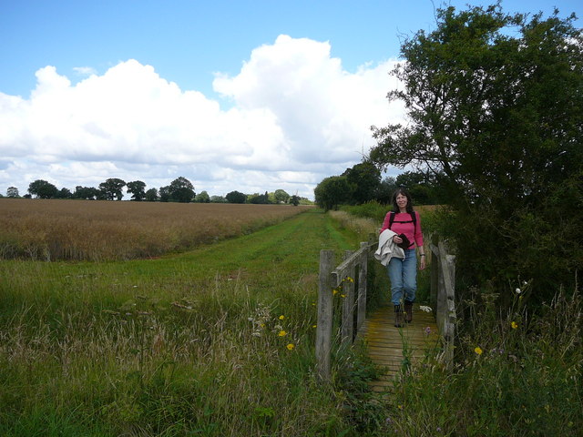
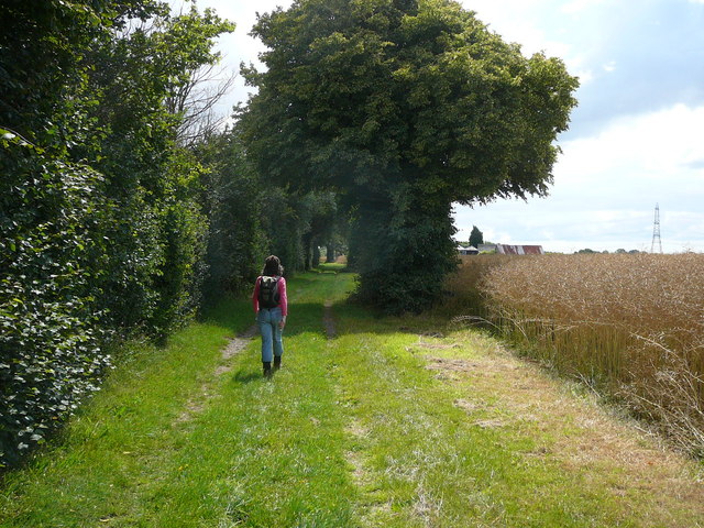
Wandering through the woodland, visitors can indulge in the tranquility and solitude offered by Layham Grove. The dense canopy overhead provides shelter from the elements, creating a captivating atmosphere of calmness and seclusion. Wildlife thrives within the grove, with deer, squirrels, and a variety of bird species frequently spotted among the trees.
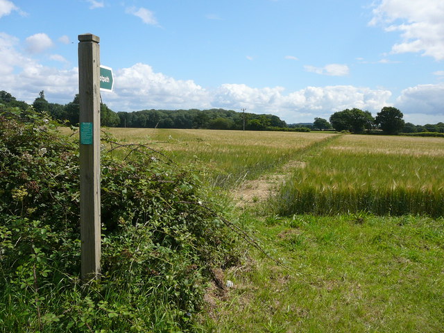
Layham Grove offers numerous walking trails, allowing visitors to explore the forest at their own pace. Whether strolling along the well-trodden paths or venturing off the beaten track, there is a sense of discovery and adventure at every turn. The grove is also intersected by a meandering river, enhancing the natural beauty of the surroundings.
To preserve the delicate ecosystem, Layham Grove is protected by local conservation efforts, ensuring the forest remains untouched and unspoiled for generations to come. Its natural beauty and peaceful ambiance make it a cherished destination for nature lovers seeking a retreat from the hustle and bustle of modern life.
If you have any feedback on the listing, please let us know in the comments section below.
Layham Grove Images
Images are sourced within 2km of 52.02571/0.92801154 or Grid Reference TM0040. Thanks to Geograph Open Source API. All images are credited.


Layham Grove is located at Grid Ref: TM0040 (Lat: 52.02571, Lng: 0.92801154)
Administrative County: Suffolk
District: Babergh
Police Authority: Suffolk
What 3 Words
///hooks.bleat.beginning. Near Hadleigh, Suffolk
Nearby Locations
Related Wikis
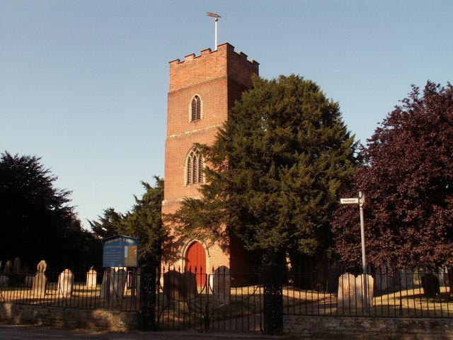
Lower Layham
Lower Layham is a small village in the civil parish of Layham, in the Babergh district, in the county of Suffolk, England. The village contains St.Andrew...
Broom Hill, Hadleigh
Broom Hill, Hadleigh is a 9.6 hectares (24 acres) Local Nature Reserve in Hadleigh in Suffolk. It is owned and managed by Babergh District Council. This...

Hadleigh United F.C.
Hadleigh United Football Club is a football club based in Hadleigh, Suffolk, England. The club are currently members of the Eastern Counties League Premier...

Riverside Walk, Hadleigh
Riverside Walk is a 4.6-hectare Local Nature Reserve on the western outskirts of Hadleigh in Suffolk. It is owned and managed by Babergh District Council...
Nearby Amenities
Located within 500m of 52.02571,0.92801154Have you been to Layham Grove?
Leave your review of Layham Grove below (or comments, questions and feedback).