Coram Street Wood

Wood, Forest in Suffolk Babergh

England

Coram Street Wood

Hadleigh: High Street Taken during the Covid-19 pandemic: on the lamp-post in the centre, a yellow sign carries the Government's "Hands / Face / Space" message.
Hadleigh: High Street Credit: Christopher Hilton

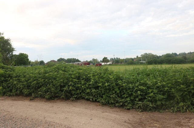
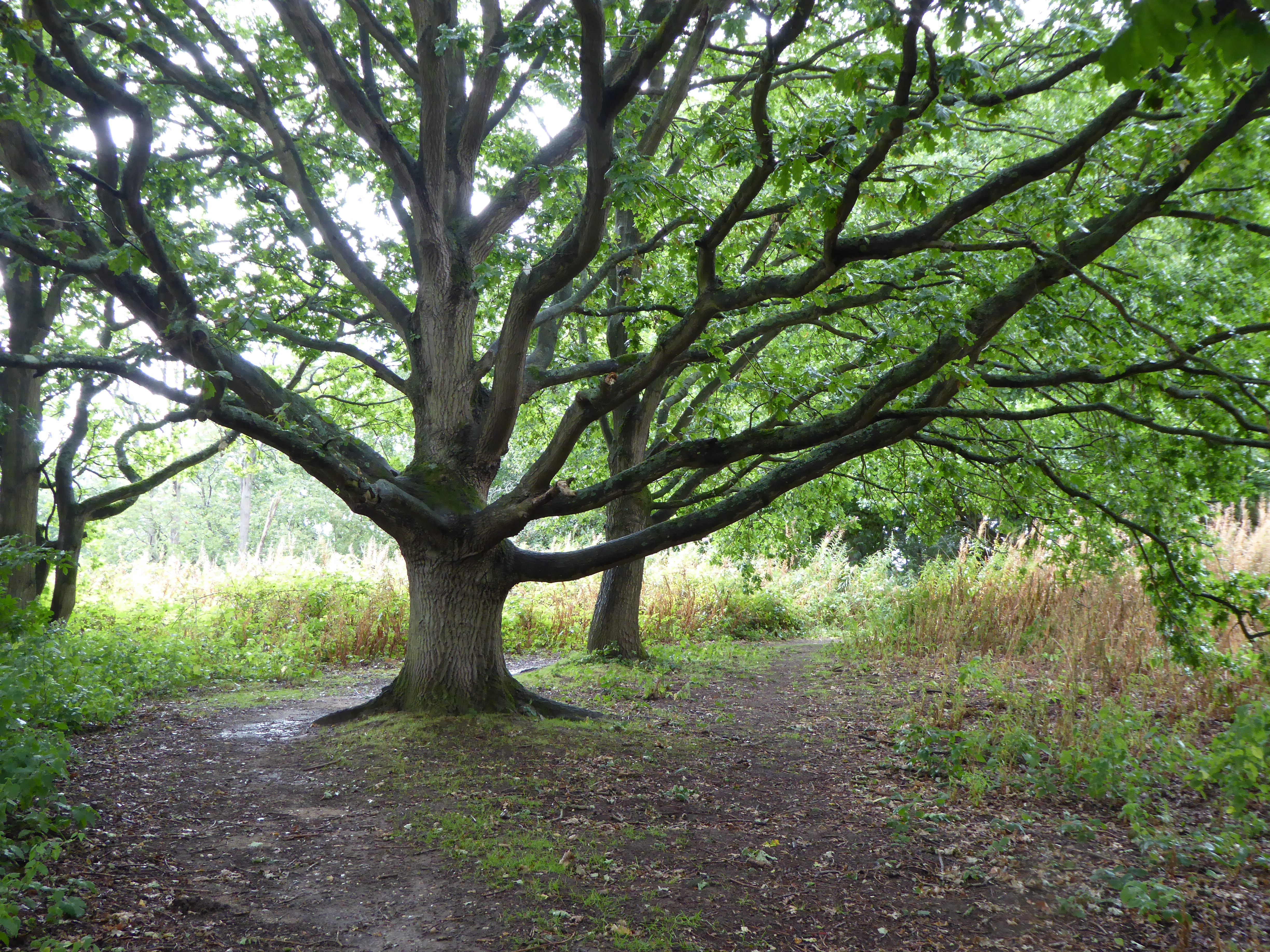
Coram Street Wood is a picturesque woodland located in Suffolk, England. Spanning over a vast area, this forest is a natural haven for flora and fauna, offering visitors a serene and peaceful escape from the hustle and bustle of everyday life.

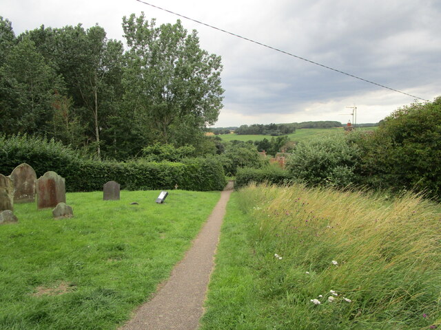
The wood is characterized by its dense foliage, consisting mainly of towering oak and beech trees. These majestic trees provide a lush canopy that allows dappled sunlight to filter through, creating a mesmerizing play of light and shadow on the forest floor. In spring, the forest comes alive with a burst of vibrant colors as bluebells carpet the ground, creating a breathtaking sight.

Coram Street Wood is home to a diverse range of wildlife, making it a popular spot for nature enthusiasts and birdwatchers. Visitors may catch a glimpse of rare and elusive creatures such as the red deer, foxes, badgers, and a variety of bird species, including woodpeckers and owls.

The wood offers several walking trails that wind through its enchanting landscape. These paths allow visitors to explore the forest at their own pace, providing a tranquil and immersive experience in nature. Along the way, there are benches and picnic areas where visitors can rest and soak in the peaceful atmosphere of the wood.

Coram Street Wood is well-maintained, with dedicated conservation efforts in place to protect its natural beauty. It is open to the public year-round, offering a soothing retreat for nature lovers, hikers, and families seeking a day of outdoor recreation and relaxation.

If you have any feedback on the listing, please let us know in the comments section below.

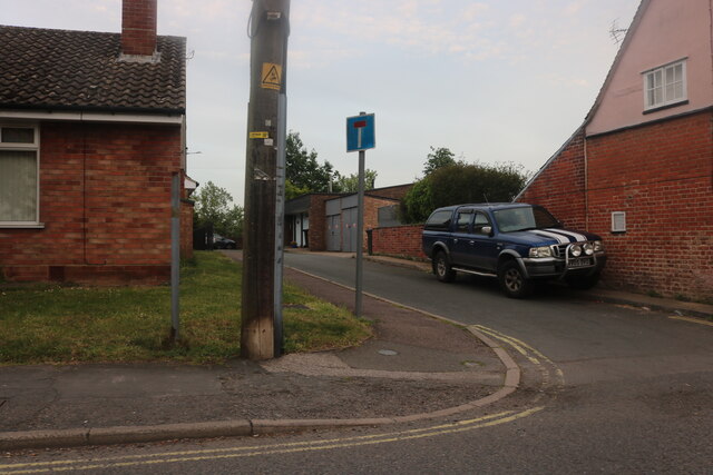
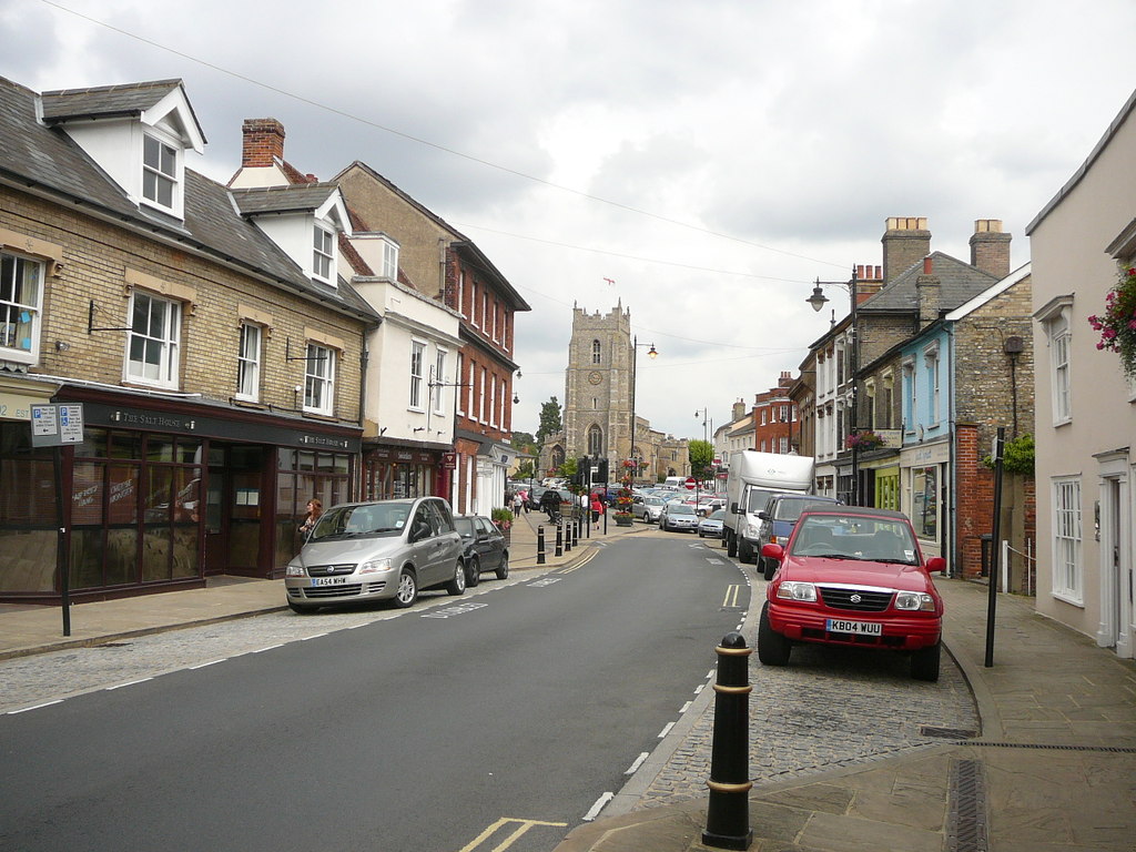
Coram Street Wood Images

Images are sourced within 2km of 52.040898/0.92810035 or Grid Reference TM0042. Thanks to Geograph Open Source API. All images are credited.

Hadleigh: High Street Taken during the Covid-19 pandemic: on the lamp-post in the centre, a yellow sign carries the Government's "Hands / Face / Space" message.
Hadleigh: High Street
Taken during the Covid-19 pandemic: on the lamp-post in the centre, a yellow sign carries the Government's "Hands / Face / Space" message.
The churchyard at Kersey This churchyard has a numerous collection of iron grave markers of the early twentieth century. There were two local manufacturers of such markers - Hunt at the Atlas Works, Earls Colne, Essex and L Ward at Long Melford <span class="nowrap"><a title="https://industrial-archaeology.org/wp-content/uploads/2016/04/AIA-Bulletin-15-3-1988.pdf" rel="nofollow ugc noopener" href="https://industrial-archaeology.org/wp-content/uploads/2016/04/AIA-Bulletin-15-3-1988.pdf">Link</a><img style="margin-left:2px;" alt="External link" title="External link - shift click to open in new window" src="https://s1.geograph.org.uk/img/external.png" width="10" height="10"/></span>
The churchyard at Kersey
This churchyard has a numerous collection of iron grave markers of the early twentieth century. There were two local manufacturers of such markers - Hunt at the Atlas Works, Earls Colne, Essex and L Ward at Long Melford LinkExternal link
Path and steps to the church, Kersey
St. Mary's church, Kersey The church largely dates from the fourteenth and fifteenth centuries <span class="nowrap"><a title="https://historicengland.org.uk/listing/the-list/list-entry/1351459?section=official-listing" rel="nofollow ugc noopener" href="https://historicengland.org.uk/listing/the-list/list-entry/1351459?section=official-listing">Link</a><img style="margin-left:2px;" alt="External link" title="External link - shift click to open in new window" src="https://s1.geograph.org.uk/img/external.png" width="10" height="10"/></span>
St. Mary's church, Kersey
The church largely dates from the fourteenth and fifteenth centuries LinkExternal link
Path through the churchyard, Kersey
Preparing for Hadleigh Show It will be another week before the crowds arrive.
Preparing for Hadleigh Show
It will be another week before the crowds arrive.
The churchyard, Kersey
Spring sown cereal crop, Kersey
West tower, St. Mary's, Kersey The tower was completed in 1481 <span class="nowrap"><a title="https://historicengland.org.uk/listing/the-list/list-entry/1351459?section=official-list-entry" rel="nofollow ugc noopener" href="https://historicengland.org.uk/listing/the-list/list-entry/1351459?section=official-list-entry">Link</a><img style="margin-left:2px;" alt="External link" title="External link - shift click to open in new window" src="https://s1.geograph.org.uk/img/external.png" width="10" height="10"/></span>
West tower, St. Mary's, Kersey
The tower was completed in 1481 LinkExternal link
Grass field and roller, Layham Road Sports Ground
Hadleigh Library on Duke Street
Duke Street, Hadleigh Looking towards Benton Street
Duke Street, Hadleigh
Looking towards Benton Street
High Street, Hadleigh
Hadleigh United FC by Layham Road
Spooners Lane, Hadleigh From Angel Street
Spooners Lane, Hadleigh
From Angel Street
The Guildhall, Hadleigh in 1968
Kersey: St Mary - screen "Dado of the screen to the N chapel, with six painted early C15 figures, not of high quality" (Nikolaus Pevsner); delightful, notwithstanding.
Kersey: St Mary - screen
"Dado of the screen to the N chapel, with six painted early C15 figures, not of high quality" (Nikolaus Pevsner); delightful, notwithstanding.
Show me another place!

Coram Street Wood is located at Grid Ref: TM0042 (Lat: 52.040898, Lng: 0.92810035)

Administrative County: Suffolk

District: Babergh

Police Authority: Suffolk

What 3 Words

///throat.magazine.pest. Near Hadleigh, Suffolk

Nearby Locations

Coram Street Wood

Related Wikis

Broom Hill, Hadleigh

Broom Hill, Hadleigh is a 9.6 hectares (24 acres) Local Nature Reserve in Hadleigh in Suffolk. It is owned and managed by Babergh District Council.This...
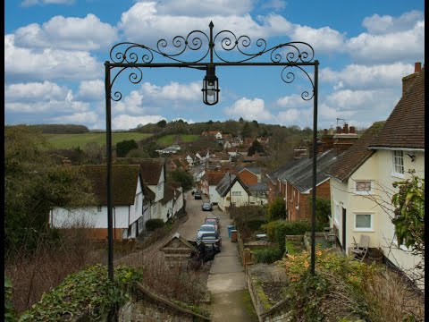
Kersey, Suffolk

Kersey is a village and civil parish in the Babergh district in Suffolk, in the east of England. The main street has a ford across a stream. Its principal...

Riverside Walk, Hadleigh

Riverside Walk is a 4.6-hectare Local Nature Reserve on the western outskirts of Hadleigh in Suffolk. It is owned and managed by Babergh District Council...

Babergh District

Babergh District (pronounced , BAY-bÉ™) is a local government district in Suffolk, England. This district is primarily a rural area, containing just two...

Hadleigh Town Hall

Hadleigh Town Hall, also referred to as the New Town Hall, is a municipal building in the Market Place in Hadleigh, Suffolk, England. The building, which...

Corn Exchange, Hadleigh

The Corn Exchange is a commercial building in the Market Place in Hadleigh, Suffolk, England. The structure, which currently accommodates a small business...

St Mary's Church, Hadleigh

St Mary's is an Anglican church in Hadleigh, Suffolk. It is an active parish church in the Diocese of St Edmundsbury and Ipswich and the archdeaconry of...

Hadleigh United F.C.

Hadleigh United Football Club is a football club based in Hadleigh, Suffolk, England. The club are currently members of the Eastern Counties League Premier...

Related Videos

Walking off the festive food

Time to get out and walk off some festive food.

A picturesque English village. Kersey, Suffolk (subtitles)

Kersey is a picturesque unspoilt English village, it is one of the few places where the time really stands still. It is quite small, with ...

The Prettiest Village In Suffolk | Explore Kersey With Us

This is the longest video so far (and the chattiest!). I've just spent the past week and a half in my home county of Suffolk, England, ...

Kersey a Village in Suffolk ENGLAND

Kersey is a beautiful unspoilt village in Suffolk England Filmed in 4K using SONY A7S3 and DJI Mavic Pro2.

Nearby Amenities

Located within 500m of 52.040898,0.92810035
Power: pole
Lat/Long: 52.037518/0.9238413
Power: pole
Lat/Long: 52.0373893/0.9254586
Power: pole
Lat/Long: 52.0367986/0.9277841
Power: pole
Lat/Long: 52.0371105/0.926553
The data included in this document is from www.openstreetmap.org. The data is made available under ODbL.

Have you been to Coram Street Wood?

Leave your review of Coram Street Wood below (or comments, questions and feedback).