Forton
Settlement in Staffordshire Stafford
England
Forton
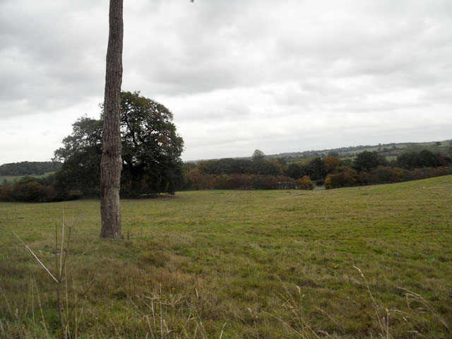
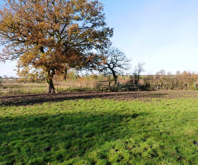
Forton is a small village located in the county of Staffordshire, England. Situated approximately 5 miles southeast of the town of Eccleshall, Forton is nestled in the picturesque countryside of the West Midlands region. With a population of around 500 residents, the village offers a tranquil and close-knit community atmosphere.
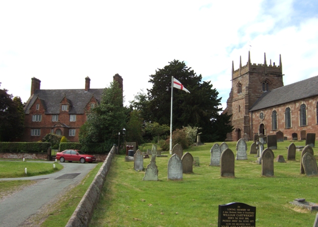
The village is known for its historical heritage, with evidence of human settlement dating back to the Roman period. Forton is home to several listed buildings, including St. Peter's Church, a Grade II* listed structure with origins dating back to the 12th century. The church's architecture showcases a mix of Norman and Gothic styles, attracting visitors with an interest in history and architecture.
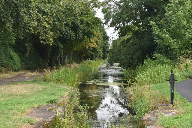
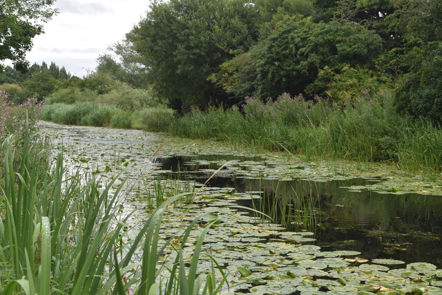
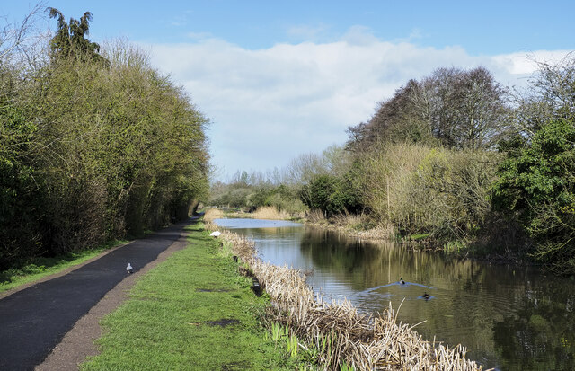
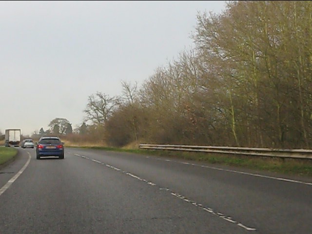
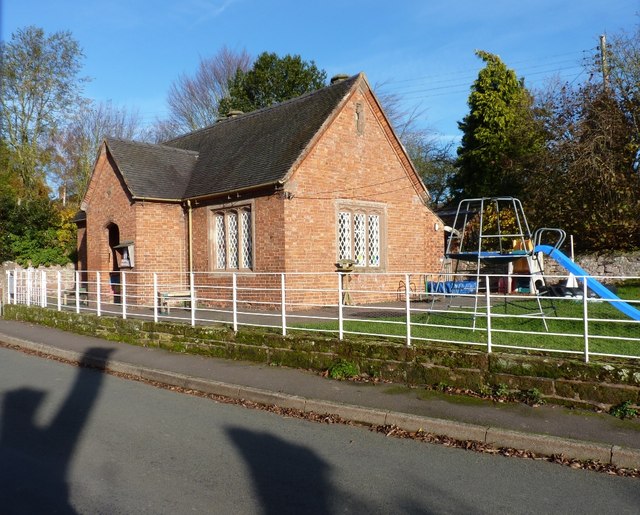
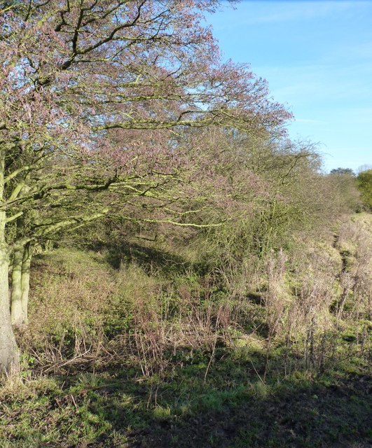
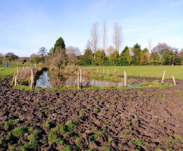
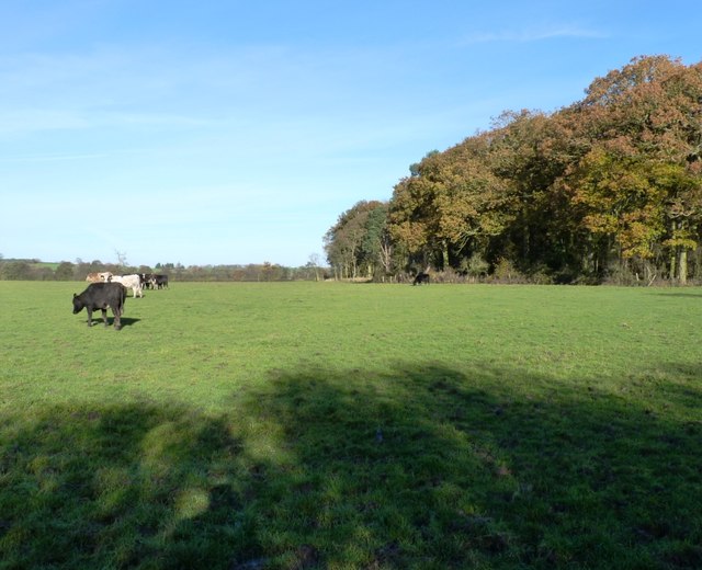
The village offers a range of amenities to its residents, including a primary school, a local pub, and a community center. The surrounding countryside provides ample opportunities for outdoor activities, such as walking, cycling, and horse riding. The nearby Staffordshire and Worcestershire Canal offers a picturesque waterway to explore, adding to the village's charm.
Forton benefits from its proximity to larger towns and cities, with Stafford and Stoke-on-Trent within easy reach. This provides residents with access to a wider range of services, including shopping centers, healthcare facilities, and employment opportunities.
Overall, Forton is a charming village with a rich historical heritage, offering a peaceful and idyllic setting for its residents.
If you have any feedback on the listing, please let us know in the comments section below.
Forton Images
Images are sourced within 2km of 52.787245/-2.3647323 or Grid Reference SJ7521. Thanks to Geograph Open Source API. All images are credited.


Forton is located at Grid Ref: SJ7521 (Lat: 52.787245, Lng: -2.3647323)
Administrative County: Staffordshire
District: Stafford
Police Authority: Staffordshire
What 3 Words
///euphoric.harmonica.gossip. Near Chetwynd, Shropshire
Nearby Locations
Related Wikis

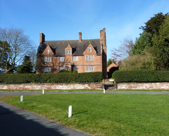
Forton Hall
Forton Hall is a 17th-century country house situated in the village of Forton, Staffordshire, close to the Shropshire border at Newport. It is a Grade...
Forton, Staffordshire
Forton is a small village and civil parish in Staffordshire, England, situated east of the market town of Newport, Shropshire. The civil Parish population...

Chetwynd Park
Chetwynd Park is an 18th-century landscape garden with woodland, on the edge of Newport, Shropshire. The park can trace its history back to 1388, when...

Aqualate Mere
Aqualate Mere, in Staffordshire, is the largest natural lake in the English Midlands and is managed as a national nature reserve (NNR) by Natural England...

Chetwynd, Shropshire
Chetwynd is a rural civil parish just to the north of Newport, Shropshire in England. Although the parish contains no substantial nucleated settlements...

Chetwynd Park estate
The Chetwynd Park estate lies in the small village of Chetwynd on the outskirts of the town of Newport, Shropshire, England. The estate is positioned in...
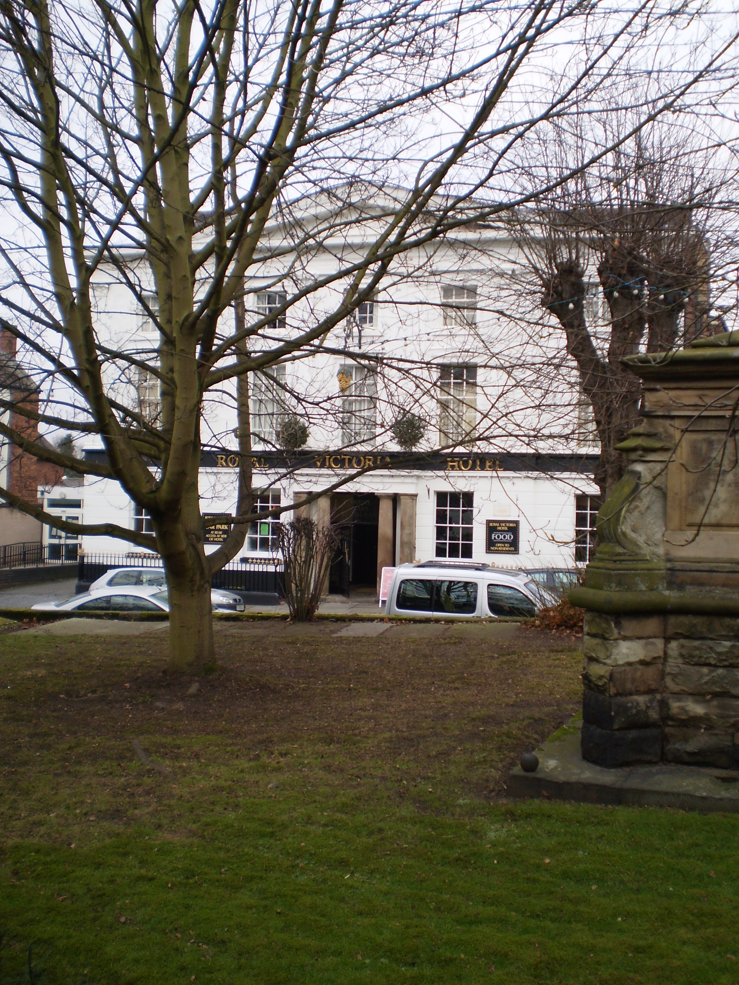
The Royal Victoria Hotel
The Royal Victoria Hotel is a former hotel situated in Newport, Shropshire. It dates back to 1830 and gains its name from Queen Victoria, who as Princess...
St Nicholas Church, Newport
St Nicholas's Church is an Anglican church in the market town of Newport, Shropshire, England lying within the Diocese of Lichfield. It is dedicated to...
Nearby Amenities
Located within 500m of 52.787245,-2.3647323Have you been to Forton?
Leave your review of Forton below (or comments, questions and feedback).