High Woods

Wood, Forest in Essex Colchester

England

High Woods

Telephone Box, Highwoods
Telephone Box, Highwoods Credit: PAUL FARMER

High Woods is a 347-acre woodland located in Colchester, Essex, England. It is one of the largest areas of woodland in the county and is managed by the Colchester Borough Council. The woods are situated to the northeast of the town and are easily accessible to visitors.

The woodland is predominantly made up of broadleaf trees, including oak, beech, and hornbeam, which create a dense and vibrant forest canopy. The diverse range of tree species supports a rich variety of wildlife, making High Woods a haven for nature enthusiasts. Visitors can expect to spot a wide array of bird species, including woodpeckers, owls, and various songbirds. Small mammals such as squirrels, foxes, and rabbits also call the woods their home.

High Woods offers a network of well-maintained footpaths and trails, allowing visitors to explore the woodland and enjoy its natural beauty. There are several picnic areas and benches throughout the woods, providing a perfect spot for a peaceful lunch amid the tranquil surroundings. Additionally, the woods feature a designated children's play area, making it a popular destination for families.

The woodland is not only appreciated for its natural beauty but also for its historical significance. High Woods has archaeological remains dating back to the Iron Age, including evidence of ancient settlement and burial mounds. These historical features add an extra layer of interest and intrigue to the woods for history enthusiasts.

Overall, High Woods in Essex is a picturesque and diverse woodland, offering a peaceful escape from the urban environment and providing a valuable habitat for wildlife.

If you have any feedback on the listing, please let us know in the comments section below.
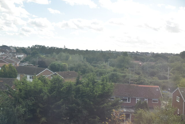
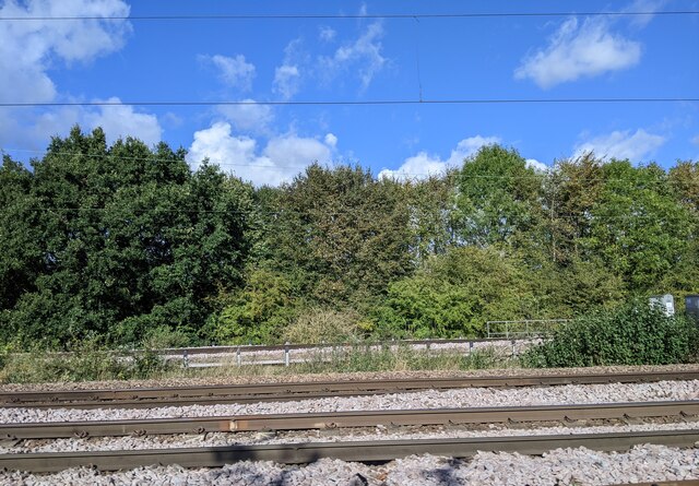
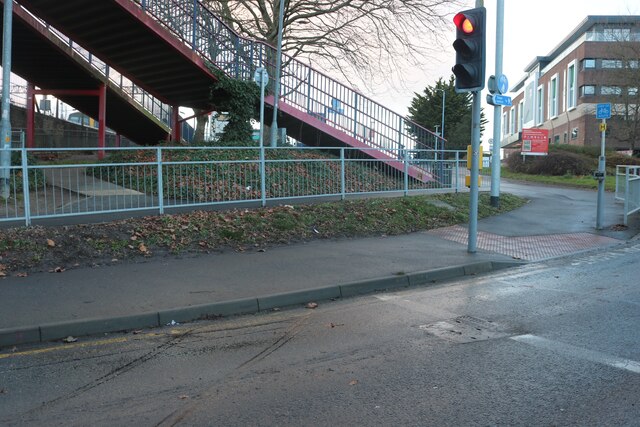
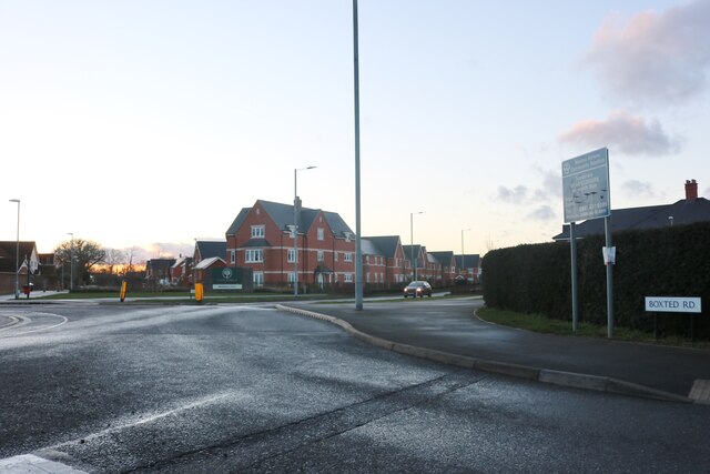
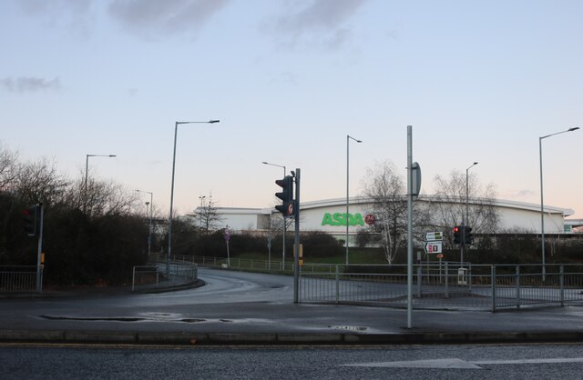
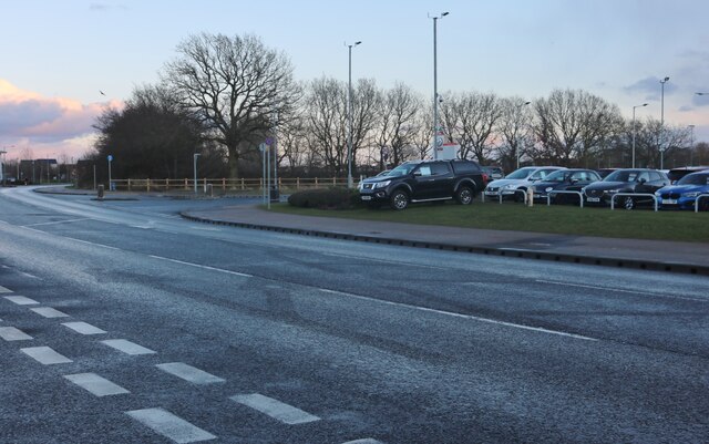
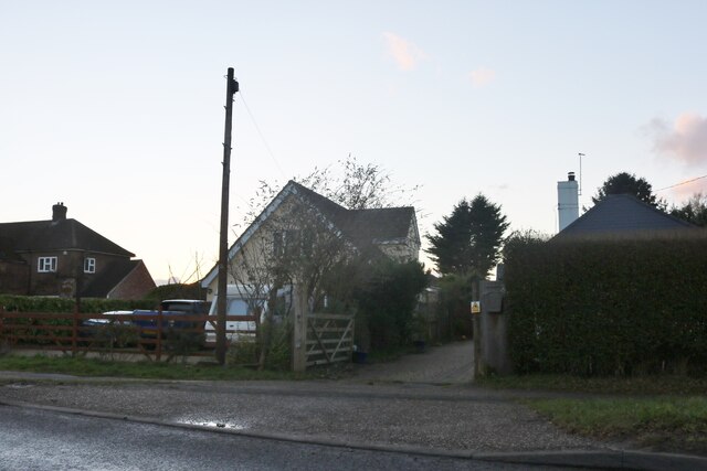
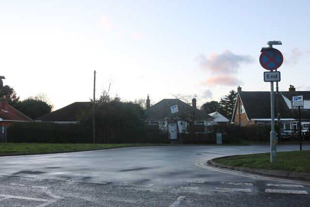
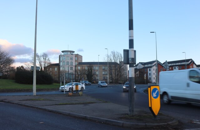
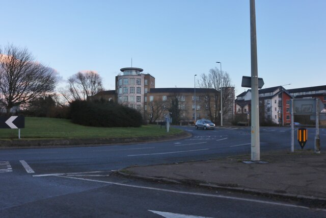
High Woods Images

Images are sourced within 2km of 51.908974/0.90839739 or Grid Reference TM0027. Thanks to Geograph Open Source API. All images are credited.

Telephone Box, Highwoods
Severalls Lane, Colchester
Outskirts of Colchester
Train line entering Colchester
Joining train tracks entering Colchester
Steps up to Colchester Station
Boxted Road at the junction of Wildeve Avenue The flats were built around 2016
Boxted Road at the junction of Wildeve Avenue
The flats were built around 2016
Asda Superstore on Turner Road, Colchester
Steven Eagell Toyota, Colchester
Axial Way, Colchester Steven Eagell Toyota is on the right
Axial Way, Colchester
Steven Eagell Toyota is on the right
Houses on Boxted Road, Myland
Boxted Road, Myland
Boxted Road, Myland
Roundabout on Cymbeline Way, Colchester
House on Dickenson Road, Myland
Via Urbis Romanae at the junction of Dickenson Road
Conifers by Via Urbis Romanae, Mile End
Boxted Road, Mile End
Show me another place!

High Woods is located at Grid Ref: TM0027 (Lat: 51.908974, Lng: 0.90839739)

Administrative County: Essex

District: Colchester

Police Authority: Essex

What 3 Words

///dunes.snake.master. Near Colchester, Essex

Nearby Locations

High Woods

Related Wikis

St Aubyn Centre

The St Aubyn Centre is a mental health facility at 216 Turner Road, Colchester, Essex. It has two wards: (i) Longview Ward which is a General Adolescent...

Colchester Hospital

Colchester Hospital is a district general hospital located in Colchester, Essex. It is managed by East Suffolk and North Essex NHS Foundation Trust....

Myland

Myland (also called Mile End) is a civil parish in Essex, England. It is now a northern suburb of Colchester. The original village began approximately...

The Gilberd School

The Gilberd School is a coeducational secondary school with academy status, in Colchester, Essex, England. == History == The school originally opened on...

Colchester railway station

Colchester railway station (also known as Colchester North) is on the Great Eastern Main Line (GEML) in the East of England, and is the primary station...

Severalls Hospital

Severalls Hospital was a psychiatric hospital in Colchester, Essex, England. It was managed by the North Essex Partnership University NHS Foundation Trust...

Bull Meadow

Bull Neadow is a 1.4 hectare Local Nature Reserve in Colchester in Essex, owned and managed by Colchester Borough Council.The meadow is unimproved damp...

Castle Park Cricket Ground

Castle Park Cricket Ground is an English cricket ground in Colchester. The ground is in Lower Castle Park, part of the land surrounding Colchester Castle...

Nearby Amenities

Located within 500m of 51.908974,0.90839739
Access: permit
Fishing: fee
Leisure: fishing
Lat/Long: 51.9064984/0.9115137
Access: permit
Fishing: fee
Leisure: fishing
Lat/Long: 51.9061436/0.911239
Access: permit
Fishing: fee
Leisure: fishing
Lat/Long: 51.9062284/0.9108185
Access: permit
Fishing: fee
Leisure: fishing
Lat/Long: 51.9065618/0.9108312
Recycling
Recycling Cans: yes
Recycling Glass: yes
Recycling Paper: yes
Lat/Long: 51.9064099/0.9045515
Toilets
Lat/Long: 51.9062972/0.9045013
Bench
Created By: Potlatch 0.10f
Lat/Long: 51.9087936/0.9092902
Bench
Created By: Potlatch 0.10f
Lat/Long: 51.908287/0.9095351
Turning Circle
Lat/Long: 51.9099335/0.9038183
Turning Circle
Lat/Long: 51.9076438/0.9037567
Bus Stop
Victoria Gardens
Bus: yes
Naptan AtcoCode: 150033009002
Naptan Bearing: NW
Naptan CommonName: Victoria Gardens
Naptan Crossing: Victoria Gardens
Naptan Indicator: Opp
Naptan Landmark: Victoria Gardens
Naptan NaptanCode: esxajwmd
Naptan PlusbusZoneRef: CLCHSTR
Naptan Street: Eastwood Drive
Naptan Verified: no
Public Transport: platform
Source: naptan_import
Lat/Long: 51.90962/0.9149166
Bus Stop
Victoria Gardens
Bus: yes
Naptan AtcoCode: 1500330090Y2
Naptan Bearing: S
Naptan BusStopType: CUS
Naptan CommonName: Victoria Gardens
Naptan Crossing: Victoria Gardens
Naptan Indicator: Adj
Naptan Landmark: Victoria Gardens
Naptan NaptanCode: esxgwjtd
Naptan PlusbusZoneRef: CLCHSTR
Naptan Street: Eastwood Drive
Naptan Verified: no
Public Transport: platform
Source: naptan_import
Lat/Long: 51.9095394/0.9150965
Bus Stop
Wryneck Close
Bus: yes
Naptan AtcoCode: 150033012005
Naptan Bearing: S
Naptan CommonName: Wryneck Close
Naptan Crossing: Wryneck Close
Naptan Indicator: Adj
Naptan Landmark: Wryneck Close
Naptan NaptanCode: esxajwdg
Naptan PlusbusZoneRef: CLCHSTR
Naptan Street: Turner Road
Naptan Verified: no
Public Transport: platform
Source: naptan_import
Lat/Long: 51.9082465/0.9028165
Bus Stop
Wryneck Close
Bus: yes
Naptan AtcoCode: 150033012006
Naptan Bearing: N
Naptan CommonName: Wryneck Close
Naptan Crossing: Wryneck Close
Naptan Indicator: Opp
Naptan Landmark: Wryneck Close
Naptan NaptanCode: esxajwdj
Naptan PlusbusZoneRef: CLCHSTR
Naptan Street: Turner Road
Naptan Verified: no
Public Transport: platform
Source: naptan_import
Lat/Long: 51.9072418/0.902708
Bus Stop
General Hospital - main Road
Bus: yes
Naptan AtcoCode: 1500IM578
Naptan NaptanCode: esxajwda
Naptan PlusbusZoneRef: CLCHSTR
Naptan Verified: no
Public Transport: platform
Source: naptan_import
Lat/Long: 51.9099378/0.9023958
Traffic Calming: table
Lat/Long: 51.9082367/0.9015684
Barrier: lift_gate
Lat/Long: 51.9094015/0.9016998
Barrier: lift_gate
Lat/Long: 51.9095848/0.9013346
Colchester Orbital Information
Description: Walk routes.
Note: Please do not remove as this links to routes
Tourism: information
Lat/Long: 51.9063393/0.9047068
Bench
Backrest: yes
Lat/Long: 51.9066972/0.9105549
Bench
Backrest: yes
Lat/Long: 51.9065106/0.9104786
Bench
Backrest: yes
Lat/Long: 51.906277/0.9105606
Access: permit
Fishing: fee
Leisure: fishing
Lat/Long: 51.9073738/0.9114187
Climbing Boulder
Climbing Bouldering: yes
Climbing Fee: no
Climbing Rock: artificial (concrete)
Sport: climbing
Lat/Long: 51.9065763/0.9055734
Defibrillator
Emergency: defibrillator
Indoor: no
Ref GB The Circuit: 4CDC8217-A7B4-435F-9E78-AD56008F3455
Lat/Long: 51.906352/0.9047758
The data included in this document is from www.openstreetmap.org. The data is made available under ODbL.

Have you been to High Woods?

Leave your review of High Woods below (or comments, questions and feedback).