Howe Wood

Wood, Forest in Suffolk Babergh

England

Howe Wood

Primitive Methodist Chapel, Polstead Heath, Suffolk This chapel was built in 1880.
Primitive Methodist Chapel, Polstead Heath, Suffolk Credit: Robert Edwards

Howe Wood is a picturesque woodland located in Suffolk, England. Covering an area of approximately 200 acres, it is renowned for its natural beauty and diverse wildlife. The wood is predominantly made up of oak and beech trees, which create a dense canopy, providing shade and protection for the forest floor.

One of the striking features of Howe Wood is its tranquil atmosphere. Walking through the wood, visitors are greeted with a sense of serenity as the sounds of chirping birds and rustling leaves fill the air. The well-maintained pathways and trails make it easy for visitors to explore the wood and enjoy its natural wonders.

The wood is home to a wide variety of plants and animals, making it a haven for nature lovers and wildlife enthusiasts. It provides a habitat for various bird species, including woodpeckers, owls, and warblers. Additionally, small mammals like squirrels and rabbits can often be spotted scurrying amongst the undergrowth.

Howe Wood is also known for its historical significance. It has been a part of the local landscape for centuries and has witnessed many changes over time. The wood has survived through various land uses, including agriculture, and has now been designated as a Site of Special Scientific Interest (SSSI) due to its ecological importance.

Overall, Howe Wood is a captivating destination for those seeking solace in nature. Its lush greenery, diverse wildlife, and peaceful ambiance make it a perfect spot for a leisurely stroll, birdwatching, or simply immersing oneself in the beauty of the natural world.

If you have any feedback on the listing, please let us know in the comments section below.
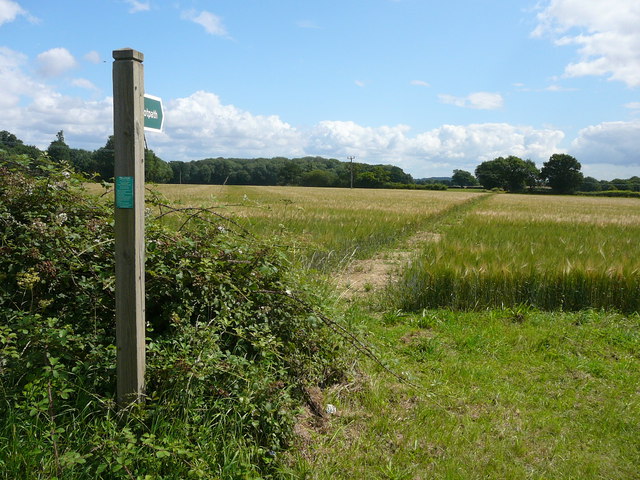
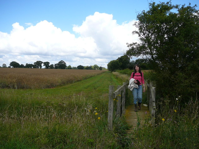
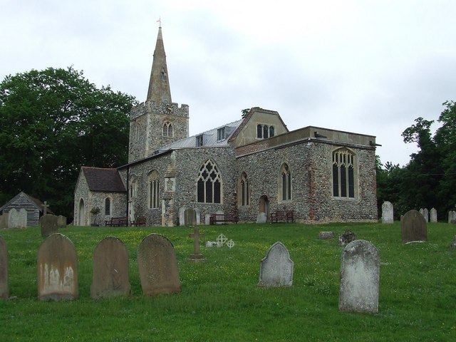
Howe Wood Images

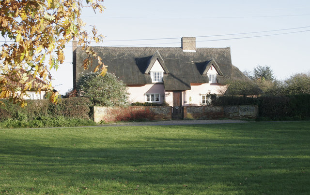
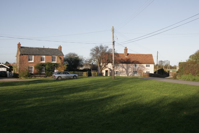
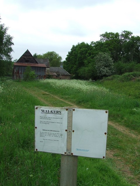
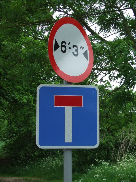
Images are sourced within 2km of 52.026311/0.89934438 or Grid Reference TL9940. Thanks to Geograph Open Source API. All images are credited.

Primitive Methodist Chapel, Polstead Heath, Suffolk This chapel was built in 1880.
Primitive Methodist Chapel, Polstead Heath, Suffolk
This chapel was built in 1880.
High Trees Farm Sign shows name as it appears on OS map.
High Trees Farm
Sign shows name as it appears on OS map.
Bramble Cottage This cottage is on the green in Whitestreet Green. I'm afraid that there are no markers which will confirm that this is where I say it is!! As with many villages in the area there are no signs which tell you where you are!
Bramble Cottage
This cottage is on the green in Whitestreet Green. I'm afraid that there are no markers which will confirm that this is where I say it is!! As with many villages in the area there are no signs which tell you where you are!
Whitestreet Green Another shot of the green. Looking north this time. Bramble Cottage is just out of view on the right.
Whitestreet Green
Another shot of the green. Looking north this time. Bramble Cottage is just out of view on the right.
Sprott's farm This was taken from the same place as the photo of High Trees Farm, but looking east. The national grid lines which are on the OS map are clearly visible.
Sprott's farm
This was taken from the same place as the photo of High Trees Farm, but looking east. The national grid lines which are on the OS map are clearly visible.
Across the green land Pylons across the land near to Polstead, Suffolk.
Across the green land
Pylons across the land near to Polstead, Suffolk.
Gated woodland Entrance to wooded area east of Sprotts Farm near to Polstead, Suffolk.
Gated woodland
Entrance to wooded area east of Sprotts Farm near to Polstead, Suffolk.
Old barn Old barn at Sprotts Farm near to Polstead, Suffolk.
Old barn
Old barn at Sprotts Farm near to Polstead, Suffolk.
Entrance to Sprott's Farm Entrance to Sprott's Farm as seen from Holt Road near to Polstead, Suffolk.
Entrance to Sprott's Farm
Entrance to Sprott's Farm as seen from Holt Road near to Polstead, Suffolk.
Sign for walkers The sign by the council instructs walkers to walk to the north side of the barn. There is a planning application up on the Holt Road for what I believe is this barn. For photo of the barn see <a title="https://www.geograph.org.uk/photo/803752" href="https://www.geograph.org.uk/photo/803752">Link</a> ; near Polstead, Suffolk.
Sign for walkers
The sign by the council instructs walkers to walk to the north side of the barn. There is a planning application up on the Holt Road for what I believe is this barn. For photo of the barn see Link ; near Polstead, Suffolk.
Width restriction Road sign at the end of a dirt track with public access near to Polstead, Suffolk.
Width restriction
Road sign at the end of a dirt track with public access near to Polstead, Suffolk.
Field path near Pott's Farm, Hadleigh Heath
Field path over minor brook near Pott's Cottages, Hadleigh Heath
Hadleigh Heath from the air To the west of Hadleigh, part of which can be seen on the right.
Hadleigh Heath from the air
To the west of Hadleigh, part of which can be seen on the right.
A1071 Coram Road, Hadleigh Heath At the junction with Rands Road
A1071 Coram Road, Hadleigh Heath
At the junction with Rands Road
Rands Road, Hadleigh Heath At the junction with the A1071 Coram Road
Rands Road, Hadleigh Heath
At the junction with the A1071 Coram Road
Japanese Knotweed, Polstead Heath Restricted access sign on Straight Road, Polstead Heath.
Japanese Knotweed, Polstead Heath
Restricted access sign on Straight Road, Polstead Heath.
The end of Straight Road, Polstead Heath Straight Road ends at Stackwood Road/Millwood Road.
The end of Straight Road, Polstead Heath
Straight Road ends at Stackwood Road/Millwood Road.
Show me another place!

Howe Wood is located at Grid Ref: TL9940 (Lat: 52.026311, Lng: 0.89934438)

Administrative County: Suffolk

District: Babergh

Police Authority: Suffolk

What 3 Words

///threaded.mountain.fortified. Near Hadleigh, Suffolk

Related Wikis

Polstead

Polstead is a village and civil parish in the Babergh district of Suffolk, England. The village lies 3 miles (4.8 km) northeast of Nayland, 5 miles (8...

Gospel Oak, Polstead

The Gospel Oak was a veteran tree in Polstead, Suffolk. The tree is associated with Saint Cedd, who reputedly planted it or preached beneath it. The...

Boxford, Suffolk

Boxford is a large village and civil parish in the Babergh district of Suffolk, England. Located around six miles east of Sudbury straddling the River...

Kersey, Suffolk

Kersey is a village and civil parish in the Babergh district in Suffolk, in the east of England. The main street has a ford across a stream. Its principal...

Nearby Amenities

Located within 500m of 52.026311,0.89934438
Bus Stop
Brewers Arms
Naptan AtcoCode: 390010357
Naptan Bearing: N
Naptan CommonName: Brewers Arms
Naptan Indicator: o/s
Naptan Landmark: Brewers Arms
Naptan NaptanCode: sufagagw
Naptan Street: A1107
Naptan Verified: no
Public Transport: platform
Source: naptan_import
Lat/Long: 52.0285087/0.8959794
Brewers Arms
Naptan AtcoCode: 390010358
Naptan Bearing: S
Naptan BusStopType: CUS
Naptan CommonName: Brewers Arms
Naptan Indicator: opp
Naptan Landmark: Brewers Arms
Naptan NaptanCode: sufagaja
Naptan Street: A1107
Naptan Verified: no
Source: naptan_import
Lat/Long: 52.0284962/0.8961244
Bower House Tye
Place: hamlet
Wikidata: Q895423
Lat/Long: 52.0295426/0.8949177
The data included in this document is from www.openstreetmap.org. The data is made available under ODbL.

Have you been to Howe Wood?

Leave your review of Howe Wood below (or comments, questions and feedback).