King Harry's Grove
Wood, Forest in Suffolk Babergh
England
King Harry's Grove
King Harry's Grove is a captivating woodland situated in Suffolk, England. Spanning over a vast area, this serene forest is renowned for its natural beauty and historical significance. The grove is named after King Henry VIII, who was once a frequent visitor to this tranquil retreat.
Nestled amidst the rolling hills and picturesque countryside, King Harry's Grove is a haven for nature enthusiasts and history buffs alike. The woodland is dominated by a diverse range of trees, including oak, beech, and ash, which create a dense and enchanting canopy above. The forest floor is adorned with an abundance of wildflowers, ferns, and mosses, creating a vibrant tapestry of colors.
Home to a rich array of wildlife, King Harry's Grove is a sanctuary for various species. Deer, rabbits, and squirrels can often be spotted gracefully maneuvering through the undergrowth, while a symphony of bird songs fills the air. The grove is also home to several rare and protected species, including the purple emperor butterfly and the lesser spotted woodpecker.
Stepping into King Harry's Grove is like stepping back in time. The forest has a rich historical past, with remnants of ancient settlements and archaeological sites scattered throughout. Visitors can explore the ruins of an old hunting lodge, believed to have been used by King Henry VIII himself. Additionally, there are several well-preserved walking trails that meander through the woodland, offering glimpses of hidden treasures at every turn.
Whether it's the allure of its natural beauty or the fascination with its historical significance, King Harry's Grove is a destination that captivates the senses and leaves a lasting impression on all who visit.
If you have any feedback on the listing, please let us know in the comments section below.
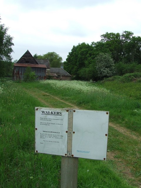
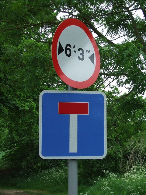
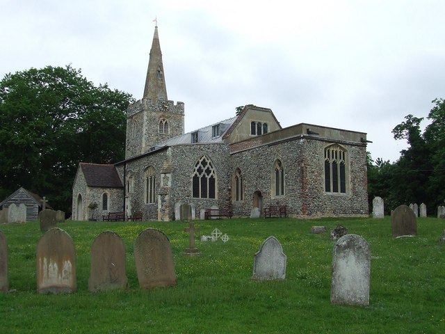
King Harry's Grove Images
Images are sourced within 2km of 52.023348/0.89807382 or Grid Reference TL9840. Thanks to Geograph Open Source API. All images are credited.


King Harry's Grove is located at Grid Ref: TL9840 (Lat: 52.023348, Lng: 0.89807382)
Administrative County: Suffolk
District: Babergh
Police Authority: Suffolk
What 3 Words
///villas.flag.prouder. Near Hadleigh, Suffolk
Nearby Locations
Related Wikis
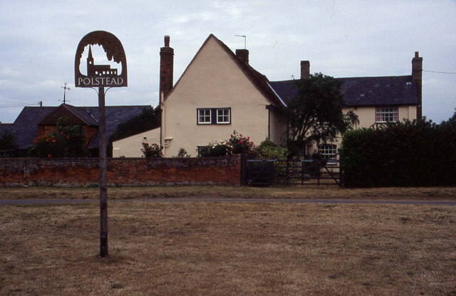
Polstead
Polstead is a village and civil parish in the Babergh district of Suffolk, England. The village lies 3 miles (4.8 km) northeast of Nayland, 5 miles (8...

Gospel Oak, Polstead
The Gospel Oak was a veteran tree in Polstead, Suffolk. The tree is associated with Saint Cedd, who reputedly planted it or preached beneath it. The...

Boxford, Suffolk
Boxford is a large village and civil parish in the Babergh district of Suffolk, England. Located around six miles east of Sudbury straddling the River...

South Suffolk (UK Parliament constituency)
South Suffolk is a constituency represented in the House of Commons of the UK Parliament since 2015 by James Cartlidge, a Conservative. == History == South...
Related Videos

Tour& Tasting Experience at Suffolk Distillery✨ #distillery #distillerytour #gintasting #suffolk
Book your Tour & Tasting Experience with us today! DURATION: approximately 40-60 minutes TIMES: Monday to Thursday ...

Christmas 2021
Over Christmas, we stayed on Polstead Camping and Caravan Site. It was lovely and had everything we needed. We also took a ...
A picturesque English village. Kersey, Suffolk (subtitles)
Kersey is a picturesque unspoilt English village, it is one of the few places where the time really stands still. It is quite small, with ...

The Prettiest Village In Suffolk | Explore Kersey With Us
This is the longest video so far (and the chattiest!). I've just spent the past week and a half in my home county of Suffolk, England, ...
Have you been to King Harry's Grove?
Leave your review of King Harry's Grove below (or comments, questions and feedback).