Burnt Alders
Wood, Forest in Suffolk West Suffolk
England
Burnt Alders
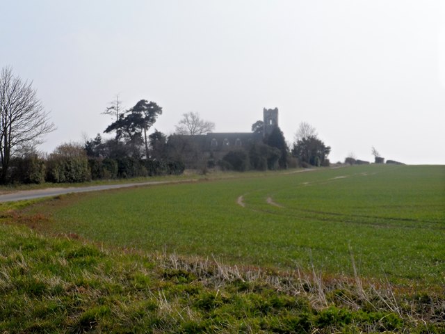
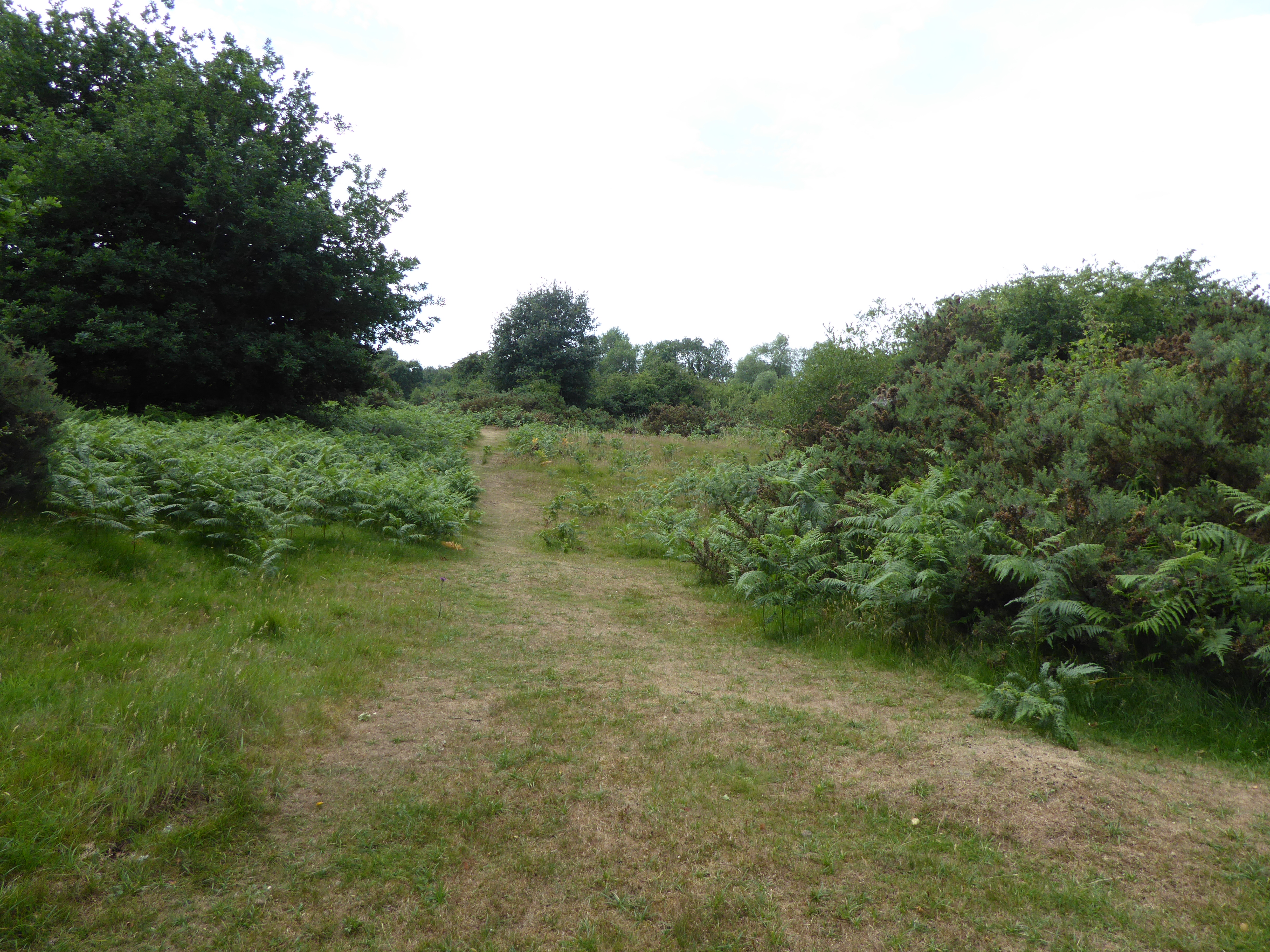
Burnt Alders is a charming woodland located in Suffolk, England. Covering an area of approximately 100 acres, this forest is a popular destination for nature enthusiasts and outdoor adventurers alike. The name "Burnt Alders" is derived from the charred remains of alder trees that were once prevalent in the area, giving the forest a unique and historical touch.
The woodland is characterized by a diverse mix of tree species, including oak, beech, birch, and holly. This rich variety of flora provides a habitat for a wide range of wildlife, making it a haven for birdwatchers and animal lovers. Visitors can expect to spot various bird species such as woodpeckers, nuthatches, and treecreepers, as well as mammals like deer and foxes.
For those seeking a tranquil escape from the hustle and bustle of daily life, Burnt Alders offers several walking trails and picnic areas. The well-maintained paths meander through the forest, allowing visitors to immerse themselves in its natural beauty. The forest also features a small lake, providing a peaceful spot for contemplation or fishing.
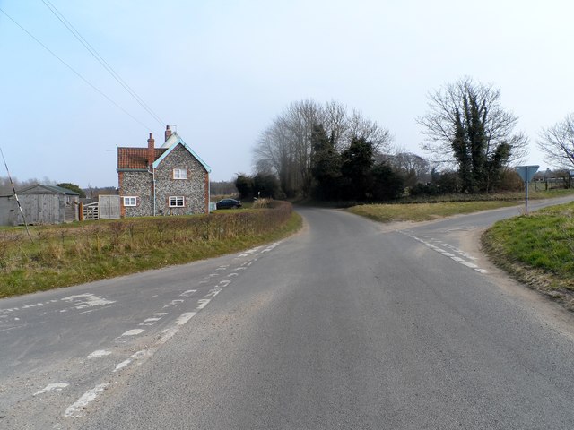
Burnt Alders is easily accessible, with ample parking available for visitors. The forest is open year-round, offering opportunities to witness the changing seasons and experience the beauty of nature in every month. Whether it's a leisurely stroll, a family picnic, or a chance to reconnect with nature, Burnt Alders provides a serene and enchanting setting for all who visit.
If you have any feedback on the listing, please let us know in the comments section below.
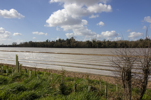
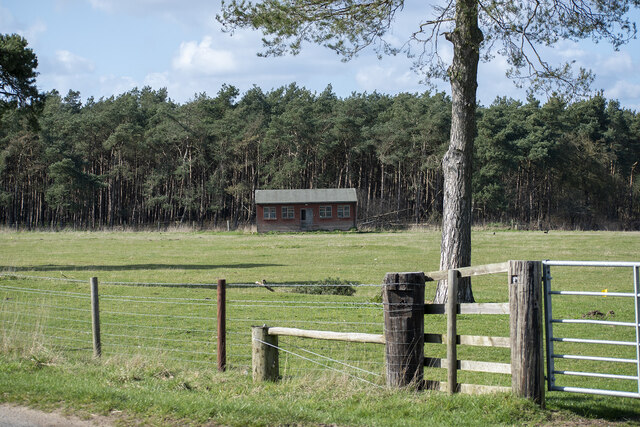
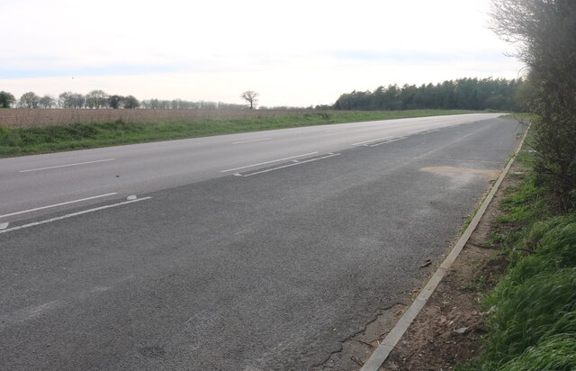
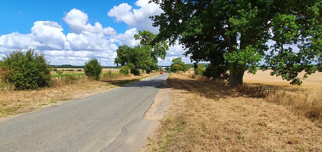
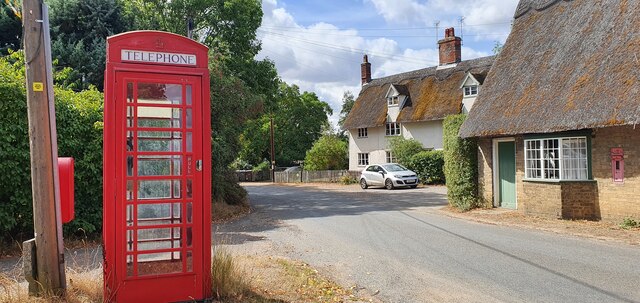
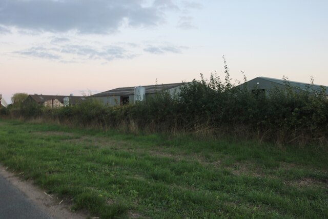
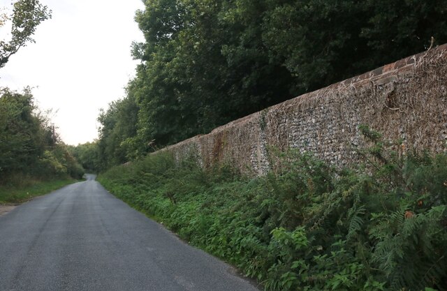
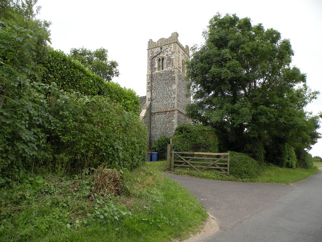
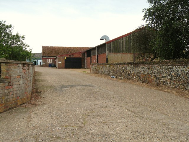
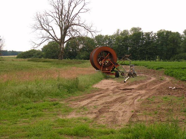
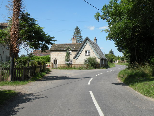
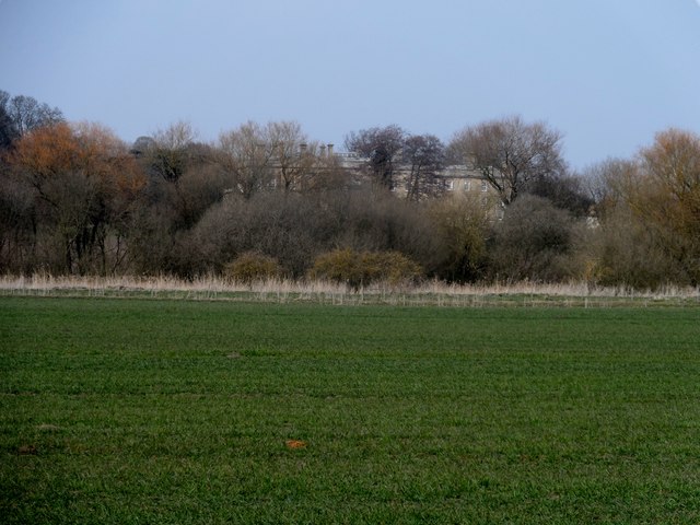
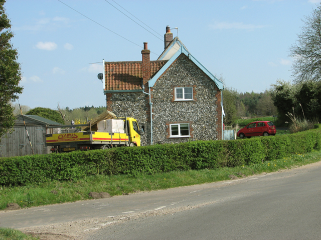
Burnt Alders Images
Images are sourced within 2km of 52.384082/0.91023456 or Grid Reference TL9880. Thanks to Geograph Open Source API. All images are credited.

Burnt Alders is located at Grid Ref: TL9880 (Lat: 52.384082, Lng: 0.91023456)
Administrative County: Suffolk
District: West Suffolk
Police Authority: Suffolk
What 3 Words
///lavished.drifters.assume. Near East Harling, Norfolk
Nearby Locations
Related Wikis

Knettishall
Knettishall is a village and civil parish in the West Suffolk district of Suffolk in eastern England. Located on the south bank of the River Little Ouse...

Hopton Fen
Hopton Fen is a 15.3-hectare (38-acre) biological Site of Special Scientific Interest north of Hopton in Suffolk. It is managed by the Suffolk Wildlife...
Weston Fen, Suffolk
Weston Fen is a 49.7-hectare (123-acre) biological Site of Special Scientific Interest in Hopton in Suffolk. It is part of the Waveney and Little Ouse...

RAF Knettishall
RAF Knettishall is a former World War II airfield in Suffolk. During the conflict, it was numbered as Station 136 by the United States Army Air Forces...
Hopton, Suffolk
Hopton is a village and civil parish in the West Suffolk district of Suffolk in eastern England. Located just south of the Norfolk border on the B1111...

Riddlesworth Hall
Riddlesworth Hall is a country house, and was formerly used as a boarding school. It is located in Riddlesworth, Norfolk, England. == History == It was...
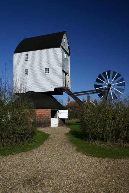
Garboldisham Windmill
Garboldisham Mill is a Grade II* listed post mill at Garboldisham, Norfolk, that has been restored. == History == Although millers were recorded in Garboldisham...

Roman Catholic Diocese of East Anglia
The Diocese of East Anglia (Latin: Dioecesis Angliae Orientalis) is a Latin diocese of the Catholic Church covering the counties of Cambridgeshire, Norfolk...
Nearby Amenities
Located within 500m of 52.384082,0.91023456Have you been to Burnt Alders?
Leave your review of Burnt Alders below (or comments, questions and feedback).