Bushy Park Wood

Wood, Forest in Suffolk Babergh

England

Bushy Park Wood

Sudbury Road, Stoke By Nayland
Sudbury Road, Stoke By Nayland Credit: David Howard

The requested URL returned error: 429 Too Many Requests

If you have any feedback on the listing, please let us know in the comments section below.

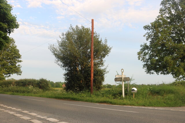
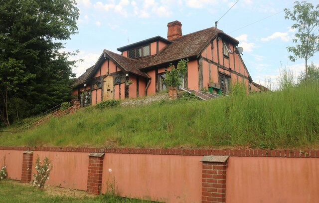
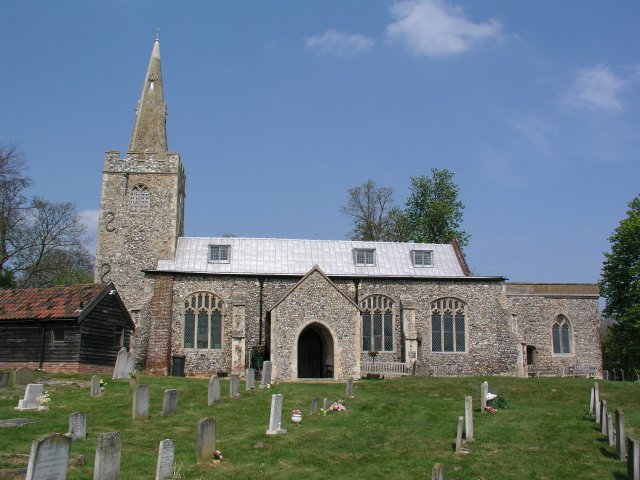
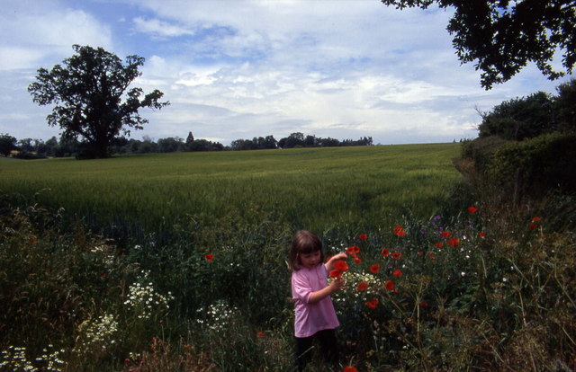
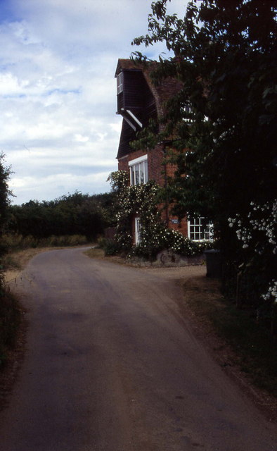
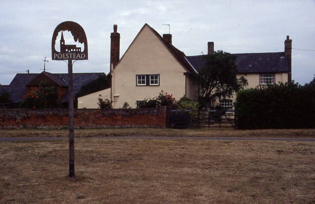
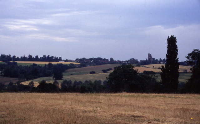
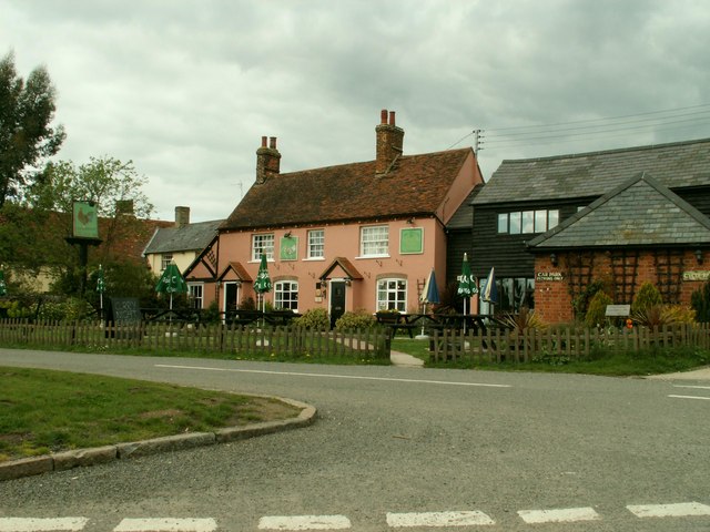
Bushy Park Wood Images

Images are sourced within 2km of 52.009972/0.88464637 or Grid Reference TL9838. Thanks to Geograph Open Source API. All images are credited.

Sudbury Road, Stoke By Nayland
Mill Street, Polstead
Pink house on Polstead Hill
Polstead Hill
Polstead Hill
Sudbury Road, Stoke By Nayland
Polstead church
Polstead church
Floral delights in field at Mill Street The summer of 1996 will be forever remembered by me as the year of red poppies.  They seemed to be everywhere and lasted for many weeks.
Floral delights in field at Mill Street
The summer of 1996 will be forever remembered by me as the year of red poppies. They seemed to be everywhere and lasted for many weeks.
Narrow lane in Mill Street This shows a converted mill in the aptly named community of Mill Street
Narrow lane in Mill Street
This shows a converted mill in the aptly named community of Mill Street
Polstead It is 10 years since I took this photograph.  I remember standing on the village green, and there was an inn close to this village sign
Polstead
It is 10 years since I took this photograph. I remember standing on the village green, and there was an inn close to this village sign
Southern aspect from Bell's Corner Looks over a field towards some woods. These fall down into the Box Valley, with the distinctive landmark of Stoke-by-Nayland church in the distance on the opposite side
Southern aspect from Bell's Corner
Looks over a field towards some woods. These fall down into the Box Valley, with the distinctive landmark of Stoke-by-Nayland church in the distance on the opposite side
'The Cock Inn', Polstead, Suffolk
Cottage at Stoke Tye, Suffolk Stoke Tye is a small place northwest of Stoke-by-Nayland and has just a few houses like the one in this picture.
Cottage at Stoke Tye, Suffolk
Stoke Tye is a small place northwest of Stoke-by-Nayland and has just a few houses like the one in this picture.
Rosehips in hedge, near Polstead
Footpath and hedges, Polstead The path has been fenced off from the field. Young trees have been planted along the fence, and will eventually form a hedge. The hedge on the left includes wild roses, their fruit shown in <a href="https://www.geograph.org.uk/photo/233804">TL9937 : Rosehips in hedge, near Polstead</a>. The tree at the end of the footpath is a sweet chestnut.
Footpath and hedges, Polstead
The path has been fenced off from the field. Young trees have been planted along the fence, and will eventually form a hedge. The hedge on the left includes wild roses, their fruit shown in TL9937 : Rosehips in hedge, near Polstead. The tree at the end of the footpath is a sweet chestnut.
Polstead Church, distant view with fields and trees The church is outside the village, in Polstead Park. This view is from the hill above Bell's Corner.
Polstead Church, distant view with fields and trees
The church is outside the village, in Polstead Park. This view is from the hill above Bell's Corner.
Bell's Corner and Polstead The houses at the bottom of the field are on Marten's Lane, at Bell's Corner. The houses on the skyline beyond are the village of Polstead.
Bell's Corner and Polstead
The houses at the bottom of the field are on Marten's Lane, at Bell's Corner. The houses on the skyline beyond are the village of Polstead.
Polstead Pond View from road junction to Ponds farm. This is a large pond, almost a lake, formed by a dam in the narrow valley.
Polstead Pond
View from road junction to Ponds farm. This is a large pond, almost a lake, formed by a dam in the narrow valley.
Straw bales surround a football pitch, Polstead Straw bales are difficult to dispose of, good use has been made of these to form the boundaries of a football pitch.
Straw bales surround a football pitch, Polstead
Straw bales are difficult to dispose of, good use has been made of these to form the boundaries of a football pitch.
Show me another place!

Bushy Park Wood is located at Grid Ref: TL9838 (Lat: 52.009972, Lng: 0.88464637)

Administrative County: Suffolk

District: Babergh

Police Authority: Suffolk

What 3 Words

///nutty.routines.elsewhere. Near Hadleigh, Suffolk

Nearby Locations

Bushy Park Wood

Related Wikis

Gospel Oak, Polstead

The Gospel Oak was a veteran tree in Polstead, Suffolk. The tree is associated with Saint Cedd, who reputedly planted it or preached beneath it. The...

Polstead

Polstead is a village and civil parish in the Babergh district of Suffolk, England. The village lies 3 miles (4.8 km) northeast of Nayland, 5 miles (8...

South Suffolk (UK Parliament constituency)

South Suffolk is a constituency represented in the House of Commons of the UK Parliament since 2015 by James Cartlidge, a Conservative. == History == South...

St Mary's Church, Stoke-by-Nayland

St Mary's Church is a Grade I listed parish church in the Church of England in Stoke-by-Nayland. == History == The earliest parts of the church date from...

Nearby Amenities

Located within 500m of 52.009972,0.88464637
Power: tower
Lat/Long: 52.0119899/0.8845096
Power: tower
Lat/Long: 52.0108646/0.8801697
Power: tower
Lat/Long: 52.0132289/0.8893668
Power: tower
Lat/Long: 52.0105035/0.8805047
Power: tower
Lat/Long: 52.012861/0.8895759
Power: tower
Lat/Long: 52.0116789/0.8850484
The data included in this document is from www.openstreetmap.org. The data is made available under ODbL.

Have you been to Bushy Park Wood?

Leave your review of Bushy Park Wood below (or comments, questions and feedback).