Fen Belt
Wood, Forest in Suffolk West Suffolk
England
Fen Belt
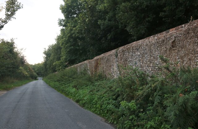
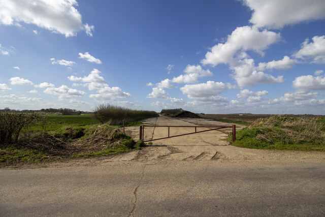
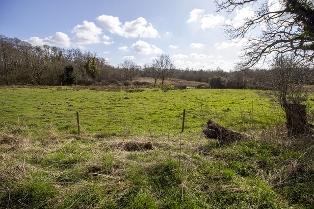
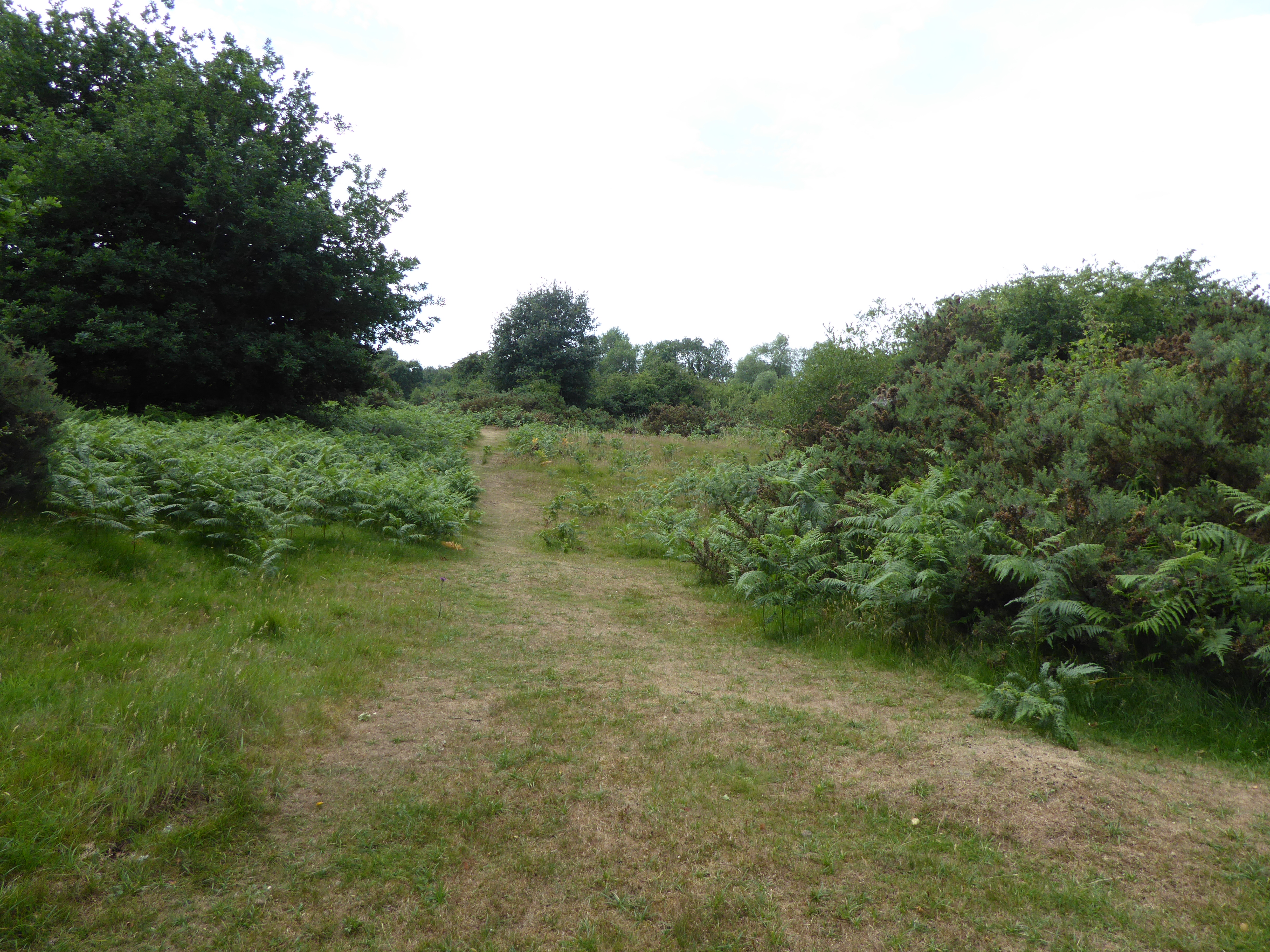
Fen Belt, Suffolk is a picturesque woodland area located in the eastern part of England. It is known for its dense forest and rich biodiversity. Spanning over several acres, Fen Belt is a haven for nature enthusiasts and outdoor adventurers.
The woodland is characterized by a variety of tree species, including oak, beech, ash, and birch. These trees create a dense canopy, providing shelter for a wide range of birds, mammals, and insects. Visitors can expect to spot species such as woodpeckers, squirrels, deer, and butterflies, making it a popular spot for birdwatching and wildlife photography.
Traversing through Fen Belt, one can find well-maintained trails that wind through the forest, allowing visitors to explore its natural beauty at their own pace. These paths are ideal for hiking, jogging, or even a peaceful stroll. The forest floor is adorned with wildflowers, ferns, and mosses, adding to the enchanting atmosphere.
Fen Belt also boasts a network of small streams and ponds, which add to the charm of the woodland. These water bodies support a diverse aquatic ecosystem, with frogs, newts, and dragonflies frequently spotted. Exploring the streams and observing the life within them can be an educational and immersive experience for visitors of all ages.
Overall, Fen Belt, Suffolk is a captivating woodland that offers a tranquil escape from the hustle and bustle of everyday life. Its natural beauty, diverse wildlife, and well-maintained trails make it a must-visit destination for nature enthusiasts and those seeking a peaceful getaway.
If you have any feedback on the listing, please let us know in the comments section below.
Fen Belt Images
Images are sourced within 2km of 52.368324/0.90558392 or Grid Reference TL9778. Thanks to Geograph Open Source API. All images are credited.


Fen Belt is located at Grid Ref: TL9778 (Lat: 52.368324, Lng: 0.90558392)
Administrative County: Suffolk
District: West Suffolk
Police Authority: Suffolk
What 3 Words
///terminal.treatable.supported. Near Rickinghall, Suffolk
Nearby Locations
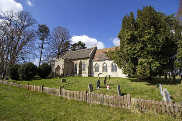
Related Wikis
Weston Fen, Suffolk
Weston Fen is a 49.7-hectare (123-acre) biological Site of Special Scientific Interest in Hopton in Suffolk. It is part of the Waveney and Little Ouse...
Market Weston
Market Weston is a small village and civil parish in the West Suffolk district of Suffolk in eastern England. It is located near the Norfolk border around...

RAF Knettishall
RAF Knettishall is a former World War II airfield in Suffolk. During the conflict, it was numbered as Station 136 by the United States Army Air Forces...

Hopton, Suffolk
Hopton is a village and civil parish in the West Suffolk district of Suffolk in eastern England. Located just south of the Norfolk border on the B1111...

Hopton Fen
Hopton Fen is a 15.3-hectare (38-acre) biological Site of Special Scientific Interest north of Hopton in Suffolk. It is managed by the Suffolk Wildlife...

Knettishall
Knettishall is a village and civil parish in the West Suffolk district of Suffolk in eastern England. Located on the south bank of the River Little Ouse...
Barningham, Suffolk
Barningham is a village and civil parish in the West Suffolk district of Suffolk, England, about twelve miles north-east of Bury St Edmunds. According...
Coney Weston
Coney Weston is a village and civil parish in Suffolk, England, within the West Suffolk district. It is a primarily rural residential town that has dormitory...
Nearby Amenities
Located within 500m of 52.368324,0.90558392Have you been to Fen Belt?
Leave your review of Fen Belt below (or comments, questions and feedback).