Bayland Wood
Wood, Forest in Kent Ashford
England
Bayland Wood

Bayland Wood is a picturesque and biodiverse woodland located in the county of Kent, England. Covering an area of approximately 100 acres, it is nestled within the gently rolling landscape of the High Weald Area of Outstanding Natural Beauty. The wood is situated near the village of Bayland and is easily accessible by foot or by car.
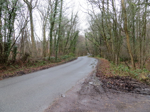
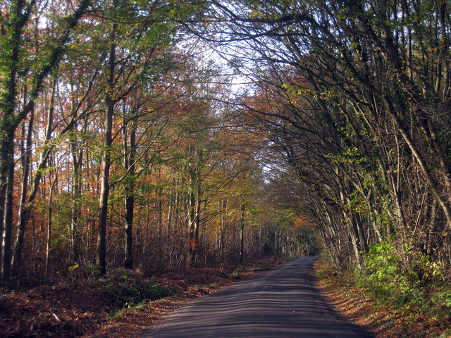
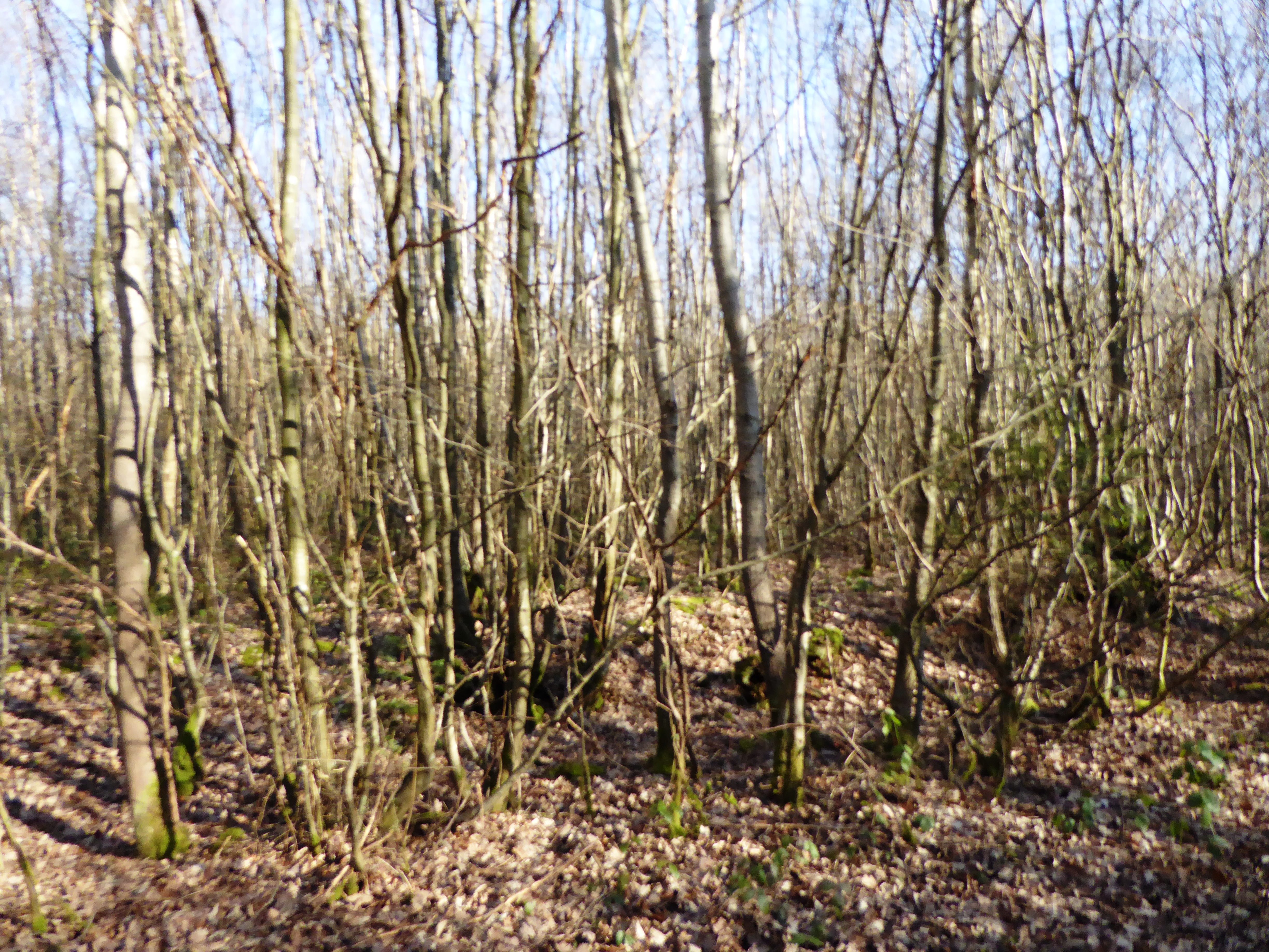
Bayland Wood is predominantly composed of native broadleaf trees, such as oak, beech, and ash, which create a dense and lush canopy. The forest floor is carpeted with a variety of wildflowers, including bluebells, primroses, and wood anemones, providing a vibrant display during the spring months.
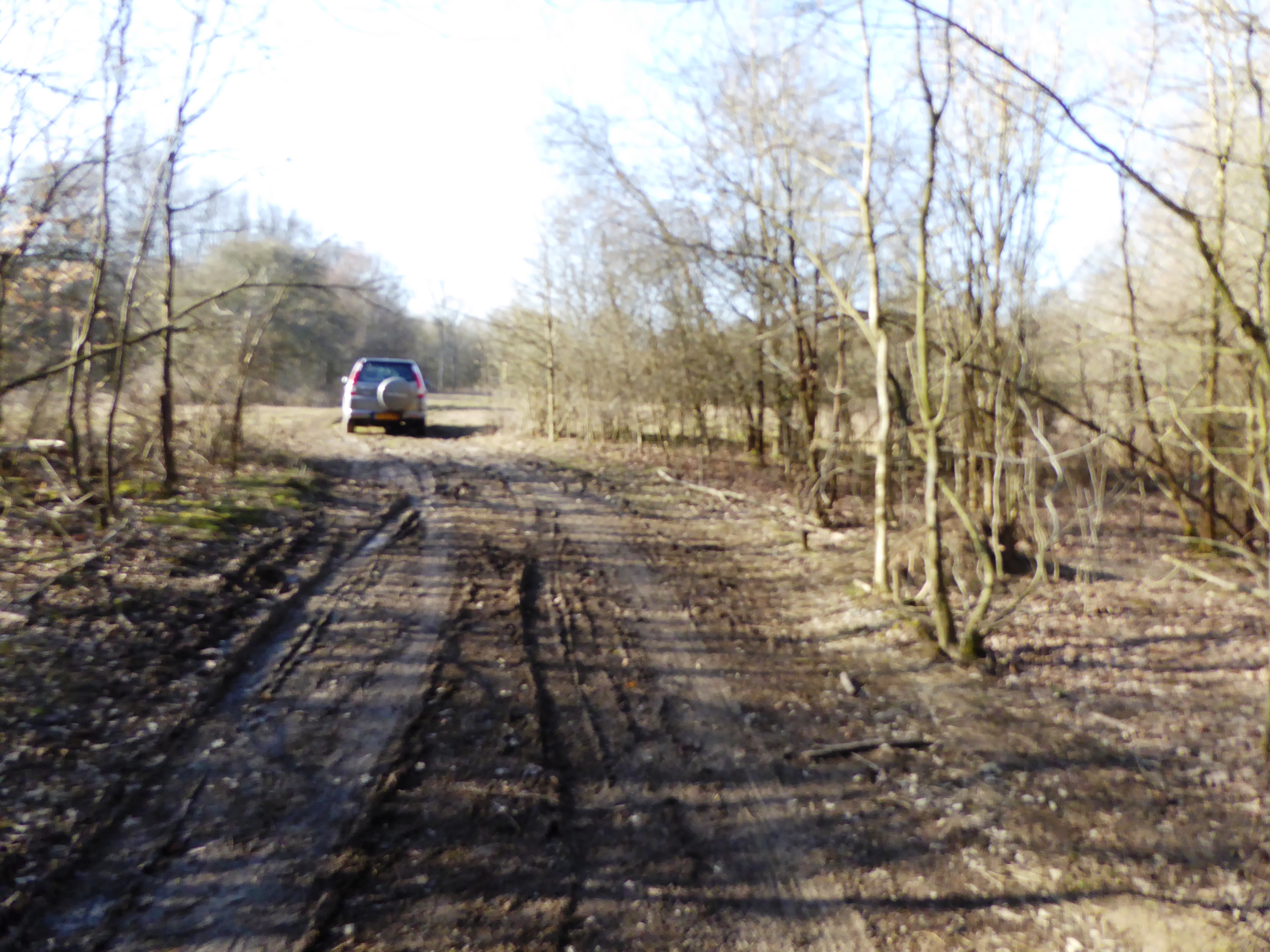
The woodland is crisscrossed by a network of well-maintained footpaths, allowing visitors to explore its beauty and tranquility. These paths meander through the ancient woodland, leading to secluded clearings, babbling brooks, and small ponds. The diverse habitats found within Bayland Wood support a wide range of wildlife, including birds, butterflies, and small mammals.
The wood is also of historical interest, with evidence of human activity dating back to the Iron Age. Archaeological remains, such as earthworks and ancient boundary markers, can still be seen within the woodland, adding to its charm and intrigue.
Bayland Wood offers a peaceful retreat for nature lovers, walkers, and birdwatchers. It provides a sanctuary away from the hustle and bustle of everyday life, allowing visitors to immerse themselves in the beauty of nature.
If you have any feedback on the listing, please let us know in the comments section below.
Bayland Wood Images
Images are sourced within 2km of 51.0879/0.82433236 or Grid Reference TQ9735. Thanks to Geograph Open Source API. All images are credited.


Bayland Wood is located at Grid Ref: TQ9735 (Lat: 51.0879, Lng: 0.82433236)
Administrative County: Kent
District: Ashford
Police Authority: Kent
What 3 Words
///satellite.bins.croaking. Near Shadoxhurst, Kent
Nearby Locations
Related Wikis
Orlestone Forest
Orlestone Forest is a 347.6-hectare (859-acre) biological Site of Special Scientific Interest south of Ashford in Kent. It is a Nature Conservation Review...
Alex Farm Pastures
Alex Farm Pastures is a 4.5-hectare (11-acre) biological Site of Special Scientific Interest south of Shadoxhurst in Kent.This site has unimproved neutral...
Stone Wood
Stone Wood is a nature reserve south-west of Shadoxhurst in Kent. It is managed by Kent Wildlife Trust (KWT).This site was clear felled in 1992 and left...

Ashford (UK Parliament constituency)
Ashford is a constituency in Kent created in 1885 and represented in the House of Commons of the UK Parliament since 1997 by Damian Green, a Conservative...

Shadoxhurst
Shadoxhurst () is a civil parish and a village on the remnant forest the Kent Weald, near Ashford in Kent, England between the Greensand Ridge and Romney...

Bromley Green
Bromley Green is a hamlet near Ashford in Kent, England.
Canterbury Oast Trust
Canterbury Oast Trust (COT) is a registered charity in England which sets up, manages and supports businesses providing work and training for people with...

Leacon Hall
Leacon Hall, Warehorne, Kent, England, is a grade II* listed building constructed for Thomas Hodges in 1708. == Description == The house remains on a low...
Nearby Amenities
Located within 500m of 51.0879,0.82433236Have you been to Bayland Wood?
Leave your review of Bayland Wood below (or comments, questions and feedback).