Adams Wood

Wood, Forest in Kent Ashford

England

Adams Wood

A2070 crossing the B2067 at Hamstreet
A2070 crossing the B2067 at Hamstreet Credit: Ron Lee

Adams Wood, located in Kent, England, is a picturesque woodland area that covers an expansive area of approximately 500 acres. This woodland, also known as Adams Forest, is renowned for its natural beauty and offers visitors a tranquil and serene escape from the bustling city life.

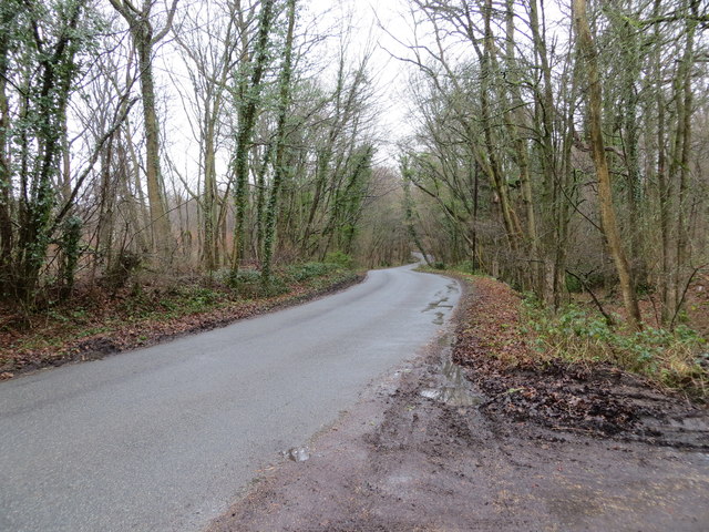
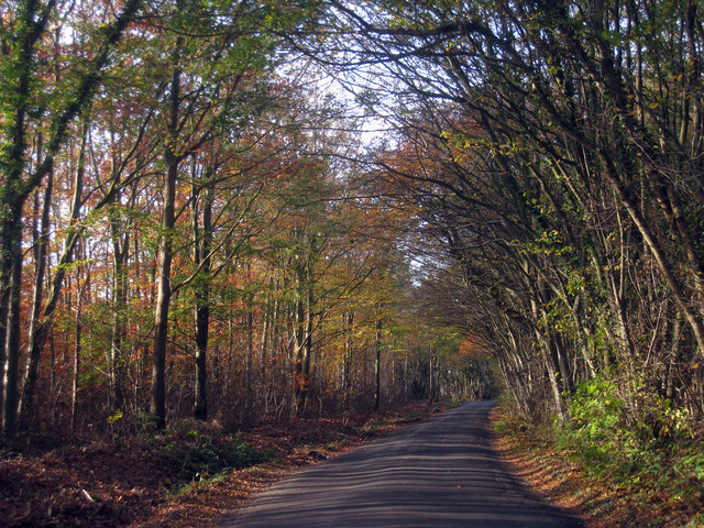
The wood is primarily composed of broadleaved trees, including oak, beech, and birch. These trees provide a dense canopy that filters sunlight, creating a cool and shaded environment beneath. The forest floor is covered in a rich carpet of mosses, ferns, and wildflowers, adding to the enchanting atmosphere.

Adams Wood is home to a diverse range of wildlife, including various species of birds, mammals, and insects. Birdwatchers can often spot rare and migratory species, such as woodpeckers, owls, and warblers. The wood is also a haven for small mammals like foxes, badgers, and squirrels.

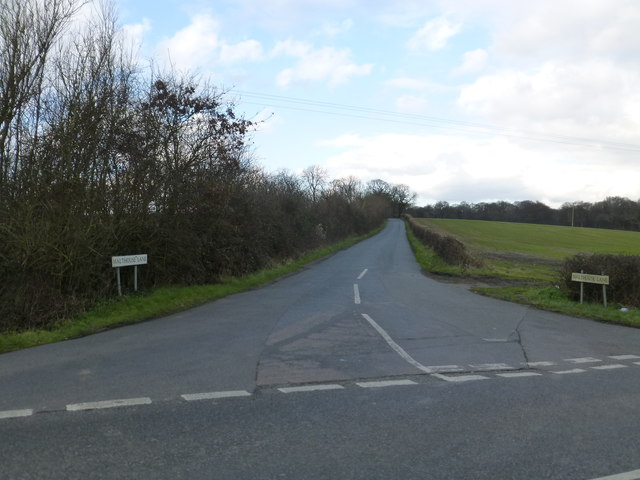
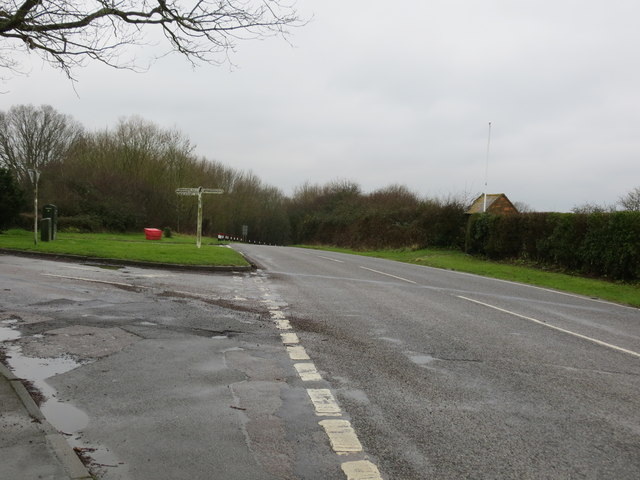
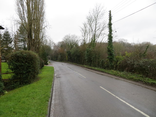
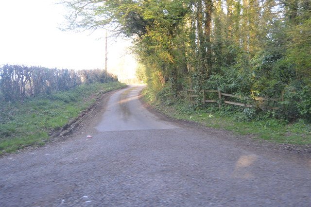
The woodland offers numerous walking trails and paths that wind through its magnificent scenery. These paths cater to different levels of fitness, from leisurely strolls to more challenging hikes. Visitors can enjoy the serenity of the woodland, listening to the soothing sounds of birdsong and the rustling of leaves.

In addition to its natural charm, Adams Wood also serves as an important conservation site. Efforts are made to preserve and protect the woodland, ensuring the longevity of its unique ecosystem.

Whether one seeks a peaceful retreat, a chance to connect with nature, or an opportunity to explore diverse flora and fauna, Adams Wood is a must-visit destination for nature enthusiasts and those seeking solace in the beauty of the natural world.

If you have any feedback on the listing, please let us know in the comments section below.

Adams Wood Images

Images are sourced within 2km of 51.071842/0.82182661 or Grid Reference TQ9734. Thanks to Geograph Open Source API. All images are credited.

A2070 crossing the B2067 at Hamstreet
Junction of Malthouse Lane and B2067 near Hamstreet
Birchett Wood looking towards Shadoxhurst
Ordnance Survey Flush Bracket 2848 This can be found on the wall of a private dwelling at St Thomas Cross.
For more detail see : <span class="nowrap"><a title="http://www.bench-marks.org.uk/bm11996" rel="nofollow ugc noopener" href="http://www.bench-marks.org.uk/bm11996">Link</a><img style="margin-left:2px;" alt="External link" title="External link - shift click to open in new window" src="https://s1.geograph.org.uk/img/external.png" width="10" height="10"/></span>
Ordnance Survey Flush Bracket 2848
This can be found on the wall of a private dwelling at St Thomas Cross. For more detail see : LinkExternal link
Cross Roads at St Thomas Cross Looking south-westward.
Cross Roads at St Thomas Cross
Looking south-westward.
Malthouse Lane Looking southward through Faggs and Apsley Woods.
Malthouse Lane
Looking southward through Faggs and Apsley Woods.
Ordnance Survey Flush Bracket G1866 This can be found on the wall of a former chapel - now a private dwelling - beside the B2067 near Warehorn.
For more detail see : <span class="nowrap"><a title="http://www.bench-marks.org.uk/bm14987" rel="nofollow ugc noopener" href="http://www.bench-marks.org.uk/bm14987">Link</a><img style="margin-left:2px;" alt="External link" title="External link - shift click to open in new window" src="https://s1.geograph.org.uk/img/external.png" width="10" height="10"/></span>
Ordnance Survey Flush Bracket G1866
This can be found on the wall of a former chapel - now a private dwelling - beside the B2067 near Warehorn. For more detail see : LinkExternal link
Road (B2067) at its junction with the lane to Warhorne Looking south-westward.
Road (B2067) at its junction with the lane to Warhorne
Looking south-westward.
Ordnance Survey Flush Bracket 2846 This can be found on the roadside wall of a house at Manor Farm.
For more detail see : <span class="nowrap"><a title="http://www.bench-marks.org.uk/bm11994" rel="nofollow ugc noopener" href="http://www.bench-marks.org.uk/bm11994">Link</a><img style="margin-left:2px;" alt="External link" title="External link - shift click to open in new window" src="https://s1.geograph.org.uk/img/external.png" width="10" height="10"/></span>
Ordnance Survey Flush Bracket 2846
This can be found on the roadside wall of a house at Manor Farm. For more detail see : LinkExternal link
Road at Manor Farm Looking south-westward in the direction of Sly Corner.
Road at Manor Farm
Looking south-westward in the direction of Sly Corner.
Warehorne Grade I listed.
The oldest part of the church is circa 1200, although the Domesday Book states there was a previous church here.
The aisles and chancel are 14th C. There is no chancel arch. An original western stone tower was completed mid 15th C. 
The tower was struck by lightning in 1770 and was rebuilt in brick, the original tower arch surviving.
Both aisles are 3 bay arcades with round piers of Bethersden marble with coloured stratification.
The north aisle was probably originally a lady chapel with the glass at the top of the north east window original 14th C. Remains of openings to the rood loft can be seen. Original king posts in the roof.
The south aisle had a chapel to St Catherine, patron saint of wool. Indeed the pub opposite the church is "The Woolpack".
There was originally a musicians gallery, removed in 1889.
There are box pews and text and commandment boards throughout this light and airy church, partially due to lack of stained glass.
Warehorne
Grade I listed. The oldest part of the church is circa 1200, although the Domesday Book states there was a previous church here. The aisles and chancel are 14th C. There is no chancel arch. An original western stone tower was completed mid 15th C. The tower was struck by lightning in 1770 and was rebuilt in brick, the original tower arch surviving. Both aisles are 3 bay arcades with round piers of Bethersden marble with coloured stratification. The north aisle was probably originally a lady chapel with the glass at the top of the north east window original 14th C. Remains of openings to the rood loft can be seen. Original king posts in the roof. The south aisle had a chapel to St Catherine, patron saint of wool. Indeed the pub opposite the church is "The Woolpack". There was originally a musicians gallery, removed in 1889. There are box pews and text and commandment boards throughout this light and airy church, partially due to lack of stained glass.
Tinton Manor Farm
Tinton Manor Farm
Road to Orlestone Church
By Ashford Rd
By Ashford Rd
Tree by Ashford Rd
Tree by Ashford Rd
Wooded pond
Wooded pond
Capel Rd
Capel Rd
Woolpack Inn, Warehorne
Show me another place!

Adams Wood is located at Grid Ref: TQ9734 (Lat: 51.071842, Lng: 0.82182661)

Administrative County: Kent

District: Ashford

Police Authority: Kent

What 3 Words

///finishes.requiring.blinking. Near Woodchurch, Kent

Nearby Locations

Adams Wood Fifty Acre Wood

Related Wikis

Nearby Amenities

Located within 500m of 51.071842,0.82182661
Barrier: stile
Lat/Long: 51.0732253/0.8150302
Adams Wood
Place: locality
Lat/Long: 51.0716447/0.8216578
Fifty Acre Wood
Place: locality
Lat/Long: 51.0762498/0.8218293
Lord's Wood
Place: locality
Lat/Long: 51.072715/0.8253271
The data included in this document is from www.openstreetmap.org. The data is made available under ODbL.

Have you been to Adams Wood?

Leave your review of Adams Wood below (or comments, questions and feedback).