Jubilee Plantation

Wood, Forest in Suffolk Babergh

England

Jubilee Plantation

Stoke by Nayland Church The finest tower in Suffolk many think.
Stoke by Nayland Church Credit: mym

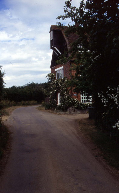
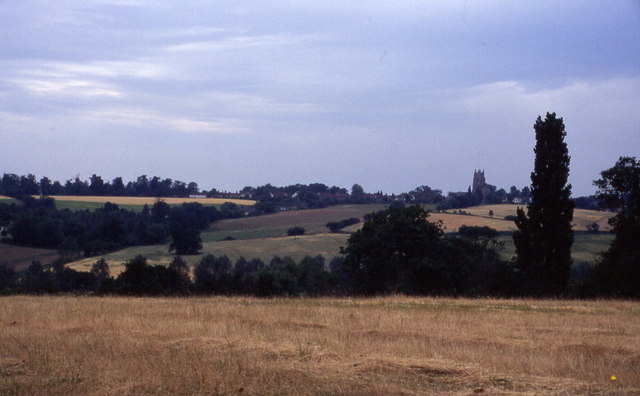
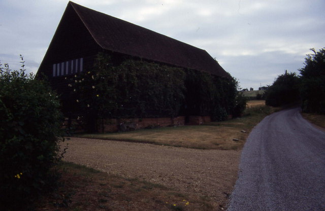
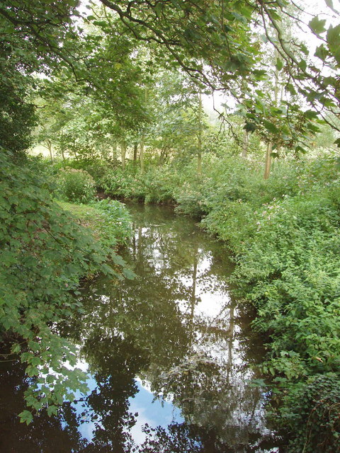
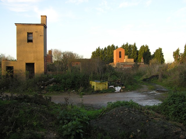
Jubilee Plantation, located in Suffolk, England, is a picturesque and sprawling woodland area situated in the heart of the county. Covering several hundred acres, it is an important part of the local landscape and offers a diverse range of flora and fauna.

The plantation, known for its dense and towering trees, primarily consists of oak, beech, and birch varieties. These majestic trees provide a habitat for numerous species of birds, including woodpeckers and owls, making it a haven for birdwatchers and nature enthusiasts alike.

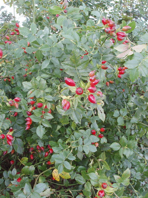
The woodland floor is carpeted with a rich assortment of wildflowers, such as bluebells, primroses, and foxgloves, which bloom in vibrant colors during the spring and summer months. This creates a beautiful and serene environment for visitors to explore and enjoy.

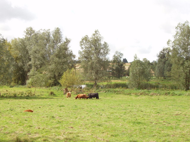
Jubilee Plantation is also home to a diverse range of wildlife, including deer, foxes, badgers, and various small mammals. These animals thrive in the plantation's natural habitat and are often spotted by lucky visitors.

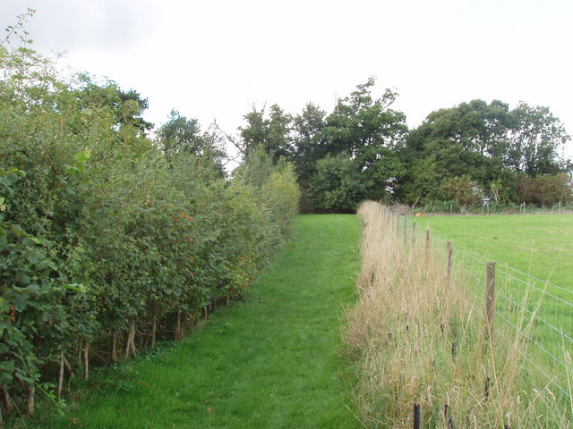
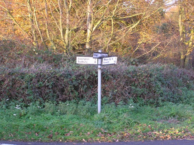
The plantation offers a network of well-maintained walking trails, allowing visitors to immerse themselves in the tranquil setting and appreciate the natural beauty of the area. There are also several picnic areas and benches strategically placed throughout the woodland, providing opportunities for relaxation and enjoyment.

Jubilee Plantation, Suffolk, is a cherished natural resource that offers a peaceful escape from the hustle and bustle of everyday life. Its stunning landscapes, abundant wildlife, and well-maintained facilities make it a popular destination for both locals and tourists seeking a connection with nature.

If you have any feedback on the listing, please let us know in the comments section below.

Jubilee Plantation Images

Images are sourced within 2km of 51.990507/0.87849993 or Grid Reference TL9736. Thanks to Geograph Open Source API. All images are credited.

Stoke by Nayland Church The finest tower in Suffolk many think.
Stoke by Nayland Church
The finest tower in Suffolk many think.
Polstead church
Polstead church
Stoke-by-Nayland Lovely village in Suffolk's Constable Country
Stoke-by-Nayland
Lovely village in Suffolk's Constable Country
Floral delights in field at Mill Street The summer of 1996 will be forever remembered by me as the year of red poppies.  They seemed to be everywhere and lasted for many weeks.
Floral delights in field at Mill Street
The summer of 1996 will be forever remembered by me as the year of red poppies. They seemed to be everywhere and lasted for many weeks.
Narrow lane in Mill Street This shows a converted mill in the aptly named community of Mill Street
Narrow lane in Mill Street
This shows a converted mill in the aptly named community of Mill Street
Southern aspect from Bell's Corner Looks over a field towards some woods. These fall down into the Box Valley, with the distinctive landmark of Stoke-by-Nayland church in the distance on the opposite side
Southern aspect from Bell's Corner
Looks over a field towards some woods. These fall down into the Box Valley, with the distinctive landmark of Stoke-by-Nayland church in the distance on the opposite side
Converted barn, Scotland Street This is one of those Suffolk Black Barns - this one converted into a home.
Converted barn, Scotland Street
This is one of those Suffolk Black Barns - this one converted into a home.
Timber-framed house at Stoke-by-Nayland, Suffolk This 16th century building was once two houses and known as the Maltings. The tower of the parish church can be seen behind.
Timber-framed house at Stoke-by-Nayland, Suffolk
This 16th century building was once two houses and known as the Maltings. The tower of the parish church can be seen behind.
Cottage at Stoke Tye, Suffolk Stoke Tye is a small place northwest of Stoke-by-Nayland and has just a few houses like the one in this picture.
Cottage at Stoke Tye, Suffolk
Stoke Tye is a small place northwest of Stoke-by-Nayland and has just a few houses like the one in this picture.
Vicarage, Stoke by Nayland In Church Street
Vicarage, Stoke by Nayland
In Church Street
Roadside unattended jam stall, Stoke by Nayland Do retail outlets get any smaller? Outside a house in the narrow lane of Scotland Street, Stoke by Nayland, were two chairs holding homemade jam and chutney. We put our £2 in the honesty box for a jar of chutney, and found it excellent. The labels from "Jam Today!" gave us an email address and phone number for ordering more.
Roadside unattended jam stall, Stoke by Nayland
Do retail outlets get any smaller? Outside a house in the narrow lane of Scotland Street, Stoke by Nayland, were two chairs holding homemade jam and chutney. We put our £2 in the honesty box for a jar of chutney, and found it excellent. The labels from "Jam Today!" gave us an email address and phone number for ordering more.
Scotland Place, Stoke by Nayland View from Scotland Street
Scotland Place, Stoke by Nayland
View from Scotland Street
River Box, Stoke by Nayland View from Scotland Street bridge.
River Box, Stoke by Nayland
View from Scotland Street bridge.
Beware of the bull - by the River Box Where the public footpath left Scotland Street, near Stoke by Nayland, was a notice. "Beware of the bull - it's the black one. The cows are placid, but you can divert from the footpath if you prefer to avoid them."
Beware of the bull - by the River Box
Where the public footpath left Scotland Street, near Stoke by Nayland, was a notice. "Beware of the bull - it's the black one. The cows are placid, but you can divert from the footpath if you prefer to avoid them."
Rosehips in hedge, near Polstead
Footpath and hedges, Polstead The path has been fenced off from the field. Young trees have been planted along the fence, and will eventually form a hedge. The hedge on the left includes wild roses, their fruit shown in <a href="https://www.geograph.org.uk/photo/233804">TL9937 : Rosehips in hedge, near Polstead</a>. The tree at the end of the footpath is a sweet chestnut.
Footpath and hedges, Polstead
The path has been fenced off from the field. Young trees have been planted along the fence, and will eventually form a hedge. The hedge on the left includes wild roses, their fruit shown in TL9937 : Rosehips in hedge, near Polstead. The tree at the end of the footpath is a sweet chestnut.
Derelict building at The Carrs near Leavenheath
Crossroads near Stoke Priory
Show me another place!

Jubilee Plantation is located at Grid Ref: TL9736 (Lat: 51.990507, Lng: 0.87849993)

Administrative County: Suffolk

District: Babergh

Police Authority: Suffolk

What 3 Words

///harvest.initiates.hurray. Near Boxted, Essex

Related Wikis

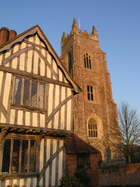
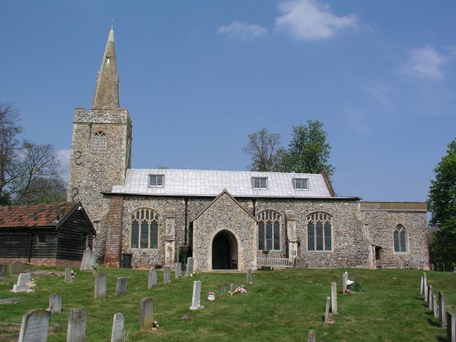
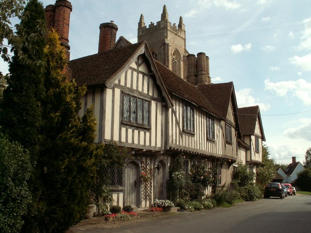
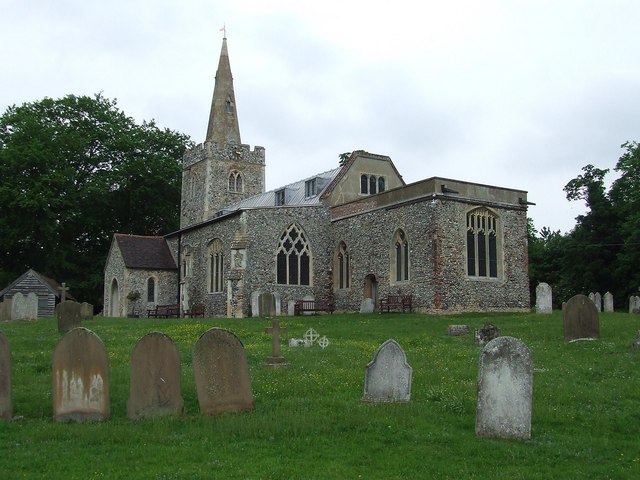
St Mary's Church, Stoke-by-Nayland

St Mary's Church is a Grade I listed parish church in the Church of England in Stoke-by-Nayland. == History == The earliest parts of the church date from...
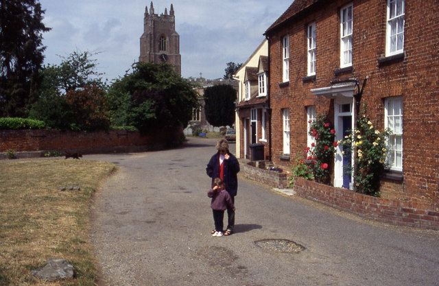
Stoke-by-Nayland

Stoke-by-Nayland is a village and civil parish in the Babergh district, in the county of Suffolk, England, close to the border with Essex. The parish includes...

South Suffolk (UK Parliament constituency)

South Suffolk is a constituency represented in the House of Commons of the UK Parliament since 2015 by James Cartlidge, a Conservative. == History == South...

Gospel Oak, Polstead

The Gospel Oak was a veteran tree in Polstead, Suffolk. The tree is associated with Saint Cedd, who reputedly planted it or preached beneath it. The...

Nayland

Nayland is a village and former civil parish, now in the parish of Nayland-with-Wissington, in the Babergh district, in the county of Suffolk, England...

Polstead

Polstead is a village and civil parish in the Babergh district of Suffolk, England. The village lies 3 miles (4.8 km) northeast of Nayland, 5 miles (8...

Leavenheath

Leavenheath is a village and civil parish in Suffolk, England, close to the Essex border. Located on the A134 between Sudbury and Colchester, it is part...

Nayland-with-Wissington

Nayland-with-Wissington is a civil parish which comprises the larger village of Nayland and the adjoining rural village of Wissington (these days usually...

Nearby Amenities

Located within 500m of 51.990507,0.87849993
Turning Circle
Lat/Long: 51.9907357/0.8853408
The data included in this document is from www.openstreetmap.org. The data is made available under ODbL.

Have you been to Jubilee Plantation?

Leave your review of Jubilee Plantation below (or comments, questions and feedback).