Hick's Plantation

Wood, Forest in Suffolk Babergh

England

Hick's Plantation

Sudbury Road, Stoke By Nayland
Sudbury Road, Stoke By Nayland Credit: David Howard

Hick's Plantation, located in Suffolk, is a sprawling woodland area known for its lush greenery and diverse plant and animal life. Covering approximately 200 acres, the plantation is a popular destination for nature enthusiasts, hikers, and birdwatchers.

The plantation is predominantly covered by a dense forest, with towering oak, beech, and pine trees forming a majestic canopy over the area. The forest floor is carpeted with a variety of wildflowers, ferns, and moss, creating a picturesque and serene environment. The plantation is also home to several species of wildlife, including deer, foxes, rabbits, and a wide range of bird species.

Hick's Plantation boasts a network of well-maintained trails that wind through the forest, offering visitors the opportunity to explore the natural beauty of the area. These trails cater to all levels of hikers, with options for leisurely strolls as well as more challenging hikes. Along the trails, hikers can discover hidden ponds, babbling brooks, and enchanting clearings, providing a perfect spot for a picnic or a moment of tranquility.

The plantation also hosts educational programs and guided tours, allowing visitors to learn about the local flora and fauna and the historical significance of the area. Additionally, there are designated camping areas for those who wish to experience the plantation's beauty overnight.

Overall, Hick's Plantation in Suffolk is a haven for nature lovers, offering a serene escape from the hustle and bustle of everyday life. Its rich biodiversity and well-maintained trails make it an ideal destination for anyone seeking to immerse themselves in the wonders of the natural world.

If you have any feedback on the listing, please let us know in the comments section below.

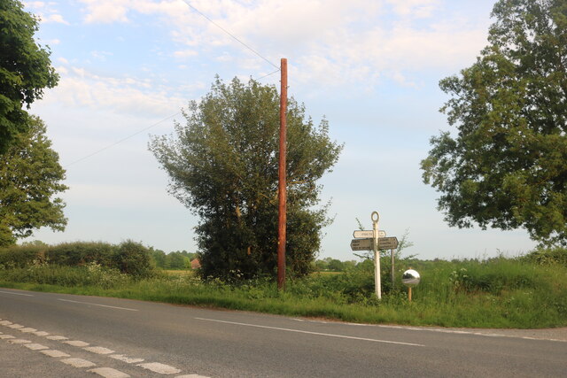
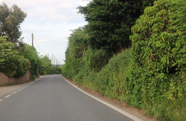
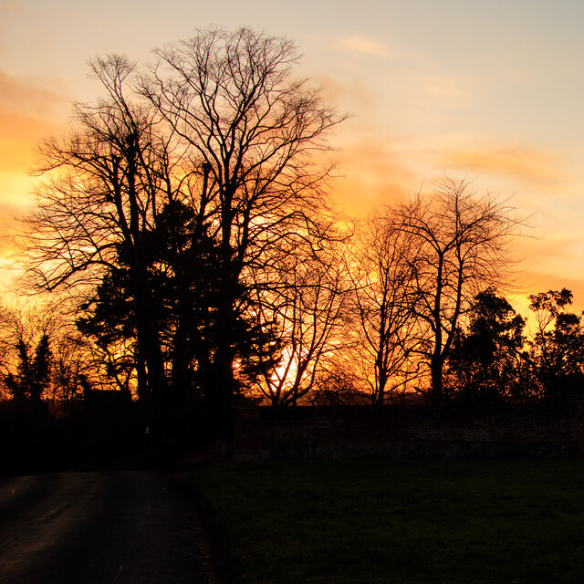
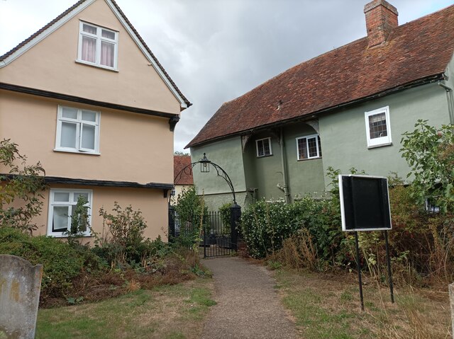
Hick's Plantation Images

Images are sourced within 2km of 51.983243/0.87765524 or Grid Reference TL9735. Thanks to Geograph Open Source API. All images are credited.

Sudbury Road, Stoke By Nayland
Polstead Street, Stoke by Nayland
Sudbury Road, Stoke By Nayland
Stoke Silhouettes at Sunset Looking towards a line of trees over a small green at Church Street, Stoke-by-Nayland.
Stoke Silhouettes at Sunset
Looking towards a line of trees over a small green at Church Street, Stoke-by-Nayland.
Harper's Estate, Nayland – 1971 A regular bus into Colchester was provided by local bus and coach operation Norfolk's. Seen here at the village terminus is double deck bus TWL 928, an AEC Regent III with Park Royal body which had originated with City Of Oxford Motor Services, new in 1953.

This is one of a series of views featuring buses in the 60s, 70s, and 80s. <a title="https://www.geograph.org.uk/search.php?i=137652761" href="https://www.geograph.org.uk/search.php?i=137652761">Link</a>
Harper's Estate, Nayland – 1971
A regular bus into Colchester was provided by local bus and coach operation Norfolk's. Seen here at the village terminus is double deck bus TWL 928, an AEC Regent III with Park Royal body which had originated with City Of Oxford Motor Services, new in 1953. This is one of a series of views featuring buses in the 60s, 70s, and 80s. Link
Churchyard gate The gate to exit the grounds of St James' Church in Nayland.
Churchyard gate
The gate to exit the grounds of St James' Church in Nayland.
River Stour, Nayland A small branch of the River Stour to the south of Nayland village, taken from the footbridge that crosses it.
River Stour, Nayland
A small branch of the River Stour to the south of Nayland village, taken from the footbridge that crosses it.
Potts Bridge  Bore Source Part of Anglian Waters estate with a touch of art deco.
Potts Bridge Bore Source
Part of Anglian Waters estate with a touch of art deco.
Welcome to Colchester The Borough signs have changed their tag from "Britain's Oldest Recorded Town" to "Britain's First City" I wonder how much that ego trip cost the ratepayers? This is the A134 looking towards the "City".
Welcome to Colchester
The Borough signs have changed their tag from "Britain's Oldest Recorded Town" to "Britain's First City" I wonder how much that ego trip cost the ratepayers? This is the A134 looking towards the "City".
River Stour From Pots Bridge The gear in the foreground is Pots Bridge Sluice. Essex is to the left Suffolk is on the right bank. The shot was taken looking upstream.
River Stour From Pots Bridge
The gear in the foreground is Pots Bridge Sluice. Essex is to the left Suffolk is on the right bank. The shot was taken looking upstream.
Stour Panorama Looking downstream from Pots Bridge. Suffolk is to the left, Essex to the right.
Stour Panorama
Looking downstream from Pots Bridge. Suffolk is to the left, Essex to the right.
A Stour Backwater Looking upstream.
A Stour Backwater
Looking upstream.
Park Beside a Stour Backwater The interpretation board is for the Stour Valley Path
Park Beside a Stour Backwater
The interpretation board is for the Stour Valley Path
Towards Nags Corner on the A134 Looking towards <a href="https://www.geograph.org.uk/photo/7471996">TL9634 : Nags Corner</a>
Towards Nags Corner on the A134
Looking towards TL9634 : Nags Corner
Nags Corner Shops etc. at Nags Corner.
Nags Corner
Shops etc. at Nags Corner.
Stour Backwater & Swan in Nayland Taken in a riverside public open space.
Stour Backwater & Swan in Nayland
Taken in a riverside public open space.
Phragmites Beside a Stour Backwater Common Reeds by a Stour backwater. I am not a great ornithologist but I am sure I could hear   a Cetti's warbler, warbling in the reeds. The sign declared that fishing is reserved for local residents.
Phragmites Beside a Stour Backwater
Common Reeds by a Stour backwater. I am not a great ornithologist but I am sure I could hear a Cetti's warbler, warbling in the reeds. The sign declared that fishing is reserved for local residents.
Cob By a Stour Backwater Moments after this shot was taken the cob went into a take off run along the backwater to see off some paddleboarders who were getting a tad too close to his Pen on their nest.
Cob By a Stour Backwater
Moments after this shot was taken the cob went into a take off run along the backwater to see off some paddleboarders who were getting a tad too close to his Pen on their nest.
Show me another place!

Hick's Plantation is located at Grid Ref: TL9735 (Lat: 51.983243, Lng: 0.87765524)

Administrative County: Suffolk

District: Babergh

Police Authority: Suffolk

What 3 Words

///lorry.merely.amuses. Near Boxted, Essex

Related Wikis

Stoke-by-Nayland

Stoke-by-Nayland is a village and civil parish in the Babergh district, in the county of Suffolk, England, close to the border with Essex. The parish includes...

St Mary's Church, Stoke-by-Nayland

St Mary's Church is a Grade I listed parish church in the Church of England in Stoke-by-Nayland. == History == The earliest parts of the church date from...

Nayland

Nayland is a village and former civil parish, now in the parish of Nayland-with-Wissington, in the Babergh district, in the county of Suffolk, England...

Nayland-with-Wissington

Nayland-with-Wissington is a civil parish which comprises the larger village of Nayland and the adjoining rural village of Wissington (these days usually...

Nearby Amenities

Located within 500m of 51.983243,0.87765524
The data included in this document is from www.openstreetmap.org. The data is made available under ODbL.

Have you been to Hick's Plantation?

Leave your review of Hick's Plantation below (or comments, questions and feedback).