Beanley Plantation

Wood, Forest in Suffolk Babergh

England

Beanley Plantation

Kettlebaston: Farmland
Kettlebaston: Farmland Credit: Michael Garlick

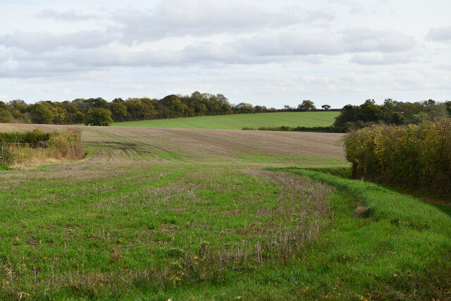
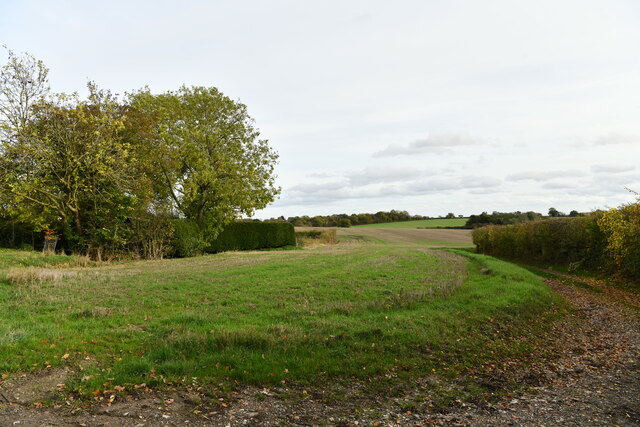
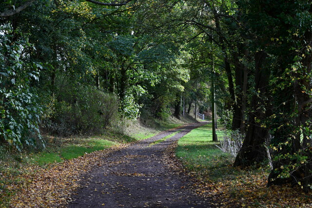
Beanley Plantation is a sprawling woodland located in Suffolk, England. Covering an area of approximately 500 acres, it is renowned for its natural beauty and diverse flora and fauna. The plantation is situated in a rural setting, surrounded by rolling hills and picturesque countryside.

The woodland of Beanley Plantation primarily consists of a mix of deciduous and coniferous trees, creating a rich and varied ecosystem. Oak, beech, and birch trees dominate the landscape, providing a vital habitat for a wide range of wildlife. The forest floor is adorned with an array of wildflowers, including bluebells and primroses, adding bursts of color to the greenery.

The plantation is home to a diverse range of wildlife, making it an ideal destination for nature enthusiasts and birdwatchers. Common sightings in the area include deer, foxes, squirrels, and various species of birds such as woodpeckers, owls, and finches. The extensive network of walking trails and paths allows visitors to explore the plantation and observe the wildlife at their own pace.

Beanley Plantation also offers recreational activities such as hiking, jogging, and picnicking. The tranquil atmosphere and scenic surroundings make it a popular destination for families and outdoor enthusiasts seeking a peaceful retreat.

Managed by the Suffolk Wildlife Trust, Beanley Plantation serves as an important conservation area, promoting the protection and preservation of natural habitats. The trust conducts regular surveys and initiatives to maintain the ecological balance and enhance the biodiversity of the woodland.

Overall, Beanley Plantation is a cherished natural treasure in Suffolk, offering a serene escape from the hustle and bustle of urban life while providing a haven for wildlife and nature lovers alike.

If you have any feedback on the listing, please let us know in the comments section below.

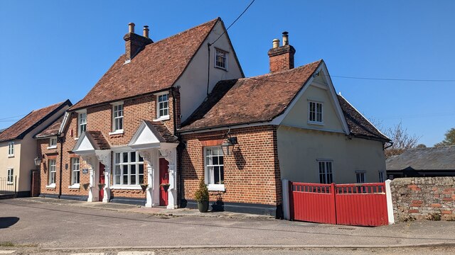
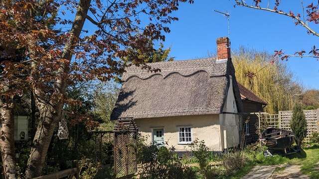
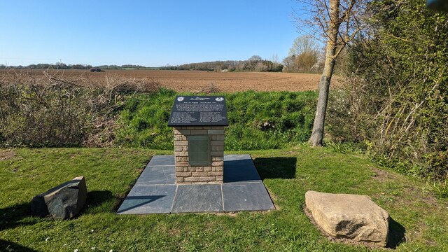
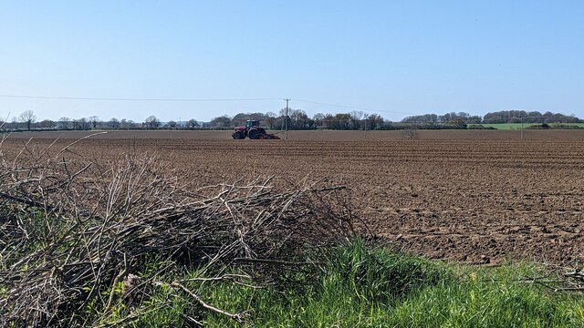
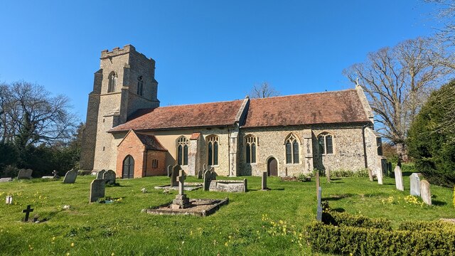
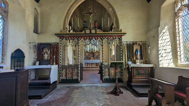
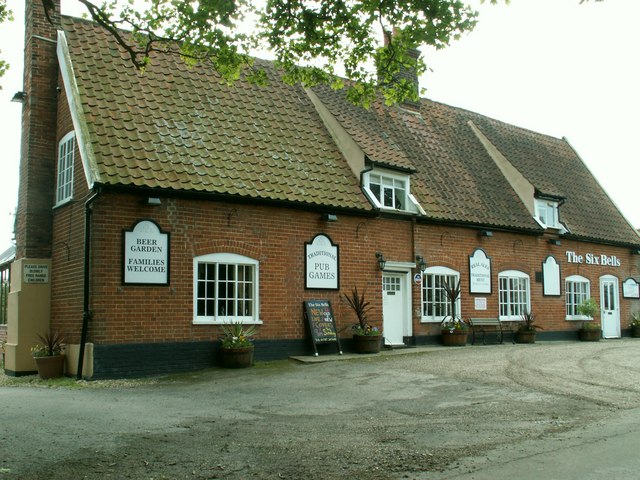
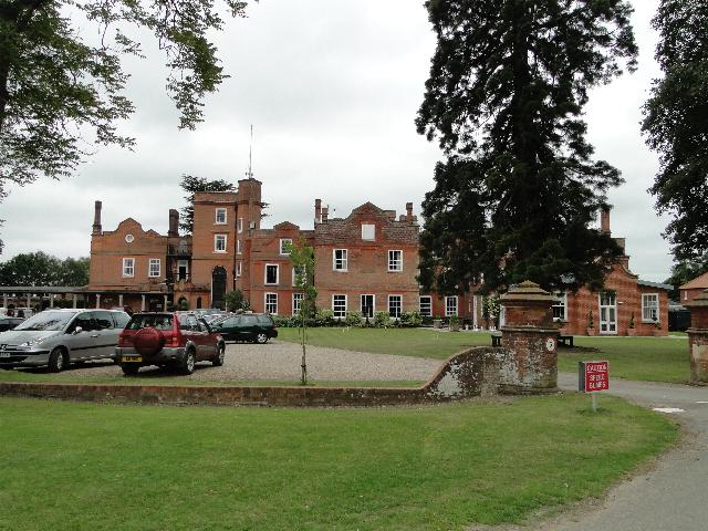
Beanley Plantation Images

Images are sourced within 2km of 52.113266/0.8814678 or Grid Reference TL9750. Thanks to Geograph Open Source API. All images are credited.

Kettlebaston: Farmland
Kettlebaston, Rectory Lane: The Old Rectory
Kettlebaston: Rectory Lane
Church of All Saints, Hitcham <span class="nowrap"><a title="https://historicengland.org.uk/listing/the-list/list-entry/1285593?section=official-list-entry" rel="nofollow ugc noopener" href="https://historicengland.org.uk/listing/the-list/list-entry/1285593?section=official-list-entry">Link</a><img style="margin-left:2px;" alt="External link" title="External link - shift click to open in new window" src="https://s1.geograph.org.uk/img/external.png" width="10" height="10"/></span>
Church of All Saints, Hitcham
Doorway at Church of All Saints, Hitcham <span class="nowrap"><a title="https://historicengland.org.uk/listing/the-list/list-entry/1285593?section=official-list-entry" rel="nofollow ugc noopener" href="https://historicengland.org.uk/listing/the-list/list-entry/1285593?section=official-list-entry">Link</a><img style="margin-left:2px;" alt="External link" title="External link - shift click to open in new window" src="https://s1.geograph.org.uk/img/external.png" width="10" height="10"/></span>
Doorway at Church of All Saints, Hitcham
Interior of Church of All Saints, Hitcham <span class="nowrap"><a title="https://historicengland.org.uk/listing/the-list/list-entry/1285593?section=official-list-entry" rel="nofollow ugc noopener" href="https://historicengland.org.uk/listing/the-list/list-entry/1285593?section=official-list-entry">Link</a><img style="margin-left:2px;" alt="External link" title="External link - shift click to open in new window" src="https://s1.geograph.org.uk/img/external.png" width="10" height="10"/></span>
Interior of Church of All Saints, Hitcham
Double-hammer beam roof at Church of All Saints, Hitcham <span class="nowrap"><a title="https://historicengland.org.uk/listing/the-list/list-entry/1285593?section=official-list-entry" rel="nofollow ugc noopener" href="https://historicengland.org.uk/listing/the-list/list-entry/1285593?section=official-list-entry">Link</a><img style="margin-left:2px;" alt="External link" title="External link - shift click to open in new window" src="https://s1.geograph.org.uk/img/external.png" width="10" height="10"/></span>
Double-hammer beam roof at Church of All Saints, Hitcham
Rood Screen Dado at Church of All Saints, Hitcham <span class="nowrap"><a title="http://www.suffolkchurches.co.uk/hitcham.htm" rel="nofollow ugc noopener" href="http://www.suffolkchurches.co.uk/hitcham.htm">Link</a><img style="margin-left:2px;" alt="External link" title="External link - shift click to open in new window" src="https://s1.geograph.org.uk/img/external.png" width="10" height="10"/></span>
Rood Screen Dado at Church of All Saints, Hitcham
Closer Look at Rood Screen Dado at Church of All Saints, Hitcham <span class="nowrap"><a title="http://www.suffolkchurches.co.uk/hitcham.htm" rel="nofollow ugc noopener" href="http://www.suffolkchurches.co.uk/hitcham.htm">Link</a><img style="margin-left:2px;" alt="External link" title="External link - shift click to open in new window" src="https://s1.geograph.org.uk/img/external.png" width="10" height="10"/></span>
Closer Look at Rood Screen Dado at Church of All Saints, Hitcham
The White Horse <span class="nowrap"><a title="https://historicengland.org.uk/listing/the-list/list-entry/1194824?section=official-list-entry" rel="nofollow ugc noopener" href="https://historicengland.org.uk/listing/the-list/list-entry/1194824?section=official-list-entry">Link</a><img style="margin-left:2px;" alt="External link" title="External link - shift click to open in new window" src="https://s1.geograph.org.uk/img/external.png" width="10" height="10"/></span>
The White Horse
Brook Cottage, Hitcham <span class="nowrap"><a title="https://historicengland.org.uk/listing/the-list/list-entry/1037269?section=official-list-entry" rel="nofollow ugc noopener" href="https://historicengland.org.uk/listing/the-list/list-entry/1037269?section=official-list-entry">Link</a><img style="margin-left:2px;" alt="External link" title="External link - shift click to open in new window" src="https://s1.geograph.org.uk/img/external.png" width="10" height="10"/></span>
Brook Cottage, Hitcham
Memorial to Mid-Air Tragedy - 2nd October 1944 <span class="nowrap"><a title="https://www.iwm.org.uk/memorials/item/memorial/86682" rel="nofollow ugc noopener" href="https://www.iwm.org.uk/memorials/item/memorial/86682">Link</a><img style="margin-left:2px;" alt="External link" title="External link - shift click to open in new window" src="https://s1.geograph.org.uk/img/external.png" width="10" height="10"/></span>
Memorial to Mid-Air Tragedy - 2nd October 1944
Tractor Working in a Field
Church of St Mary, Kettlebaston <span class="nowrap"><a title="https://historicengland.org.uk/listing/the-list/list-entry/1037253?section=official-list-entry" rel="nofollow ugc noopener" href="https://historicengland.org.uk/listing/the-list/list-entry/1037253?section=official-list-entry">Link</a><img style="margin-left:2px;" alt="External link" title="External link - shift click to open in new window" src="https://s1.geograph.org.uk/img/external.png" width="10" height="10"/></span>
Church of St Mary, Kettlebaston
Detail of Roof at Church of St Mary, Kettlebaston The nave roof consists of tie-beams with king posts supported by carved stone corbels.
Detail of Roof at Church of St Mary, Kettlebaston
The nave roof consists of tie-beams with king posts supported by carved stone corbels.
Rood Screen at Church of St Mary, Kettlebaston <span class="nowrap"><a title="https://heritage.suffolk.gov.uk/Monument/MSF2647" rel="nofollow ugc noopener" href="https://heritage.suffolk.gov.uk/Monument/MSF2647">Link</a><img style="margin-left:2px;" alt="External link" title="External link - shift click to open in new window" src="https://s1.geograph.org.uk/img/external.png" width="10" height="10"/></span>
Rood Screen at Church of St Mary, Kettlebaston
Show me another place!

Beanley Plantation is located at Grid Ref: TL9750 (Lat: 52.113266, Lng: 0.8814678)

Administrative County: Suffolk

District: Babergh

Police Authority: Suffolk

What 3 Words

///jetting.unit.headlight. Near Bildeston, Suffolk

Nearby Locations

Beanley Plantation

Related Wikis

Kettlebaston

Kettlebaston is a village and a civil parish with just over 30 inhabitants in the Babergh district of Suffolk, England, located around 3 miles (5 km) east...

Hitcham, Suffolk

Hitcham is a village and civil parish in Suffolk, England. Located on the B1115 road, between Hadleigh and Stowmarket, it is part of Babergh district....

Bildeston

Bildeston is a village and civil parish in the Babergh district of Suffolk, England. Located around 5 miles (8 km) north of Hadleigh, in 2005 it had a...

Cosford Hundred

Cosford was a hundred of Suffolk, consisting of 30,712 acres (124.29 km2).The hundred consisted of Hadleigh, the only town of any size, and seventeen other...

Chelsworth

Chelsworth is a village and civil parish in Suffolk, England. It lies on the B1115 road, 10 miles in either direction from Sudbury and Stowmarket. It is...

Preston St Mary

Preston St Mary is a village and civil parish in Suffolk, England. Located to the north-east of Lavenham, it is part of the Babergh district. The parish...

Old Buckenham Hall School

Old Buckenham Hall School (commonly known as OBH) is a day and boarding preparatory school with pre-prep for boys and girls in the village of Brettenham...

Monks Eleigh

Monks Eleigh is a village and a civil parish in Babergh, Suffolk, United Kingdom, situated on the tributary to the River Brett in a rural area. The parish...

Have you been to Beanley Plantation?

Leave your review of Beanley Plantation below (or comments, questions and feedback).