Big Wood
Wood, Forest in Norfolk Breckland
England
Big Wood
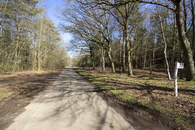
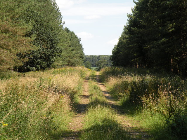
Big Wood is a large forest located in the county of Norfolk, England. Covering an area of approximately 500 acres, it is one of the most significant woodland areas in the region. The wood is situated near the village of Woodton and is easily accessible from nearby towns such as Bungay and Norwich.
This ancient woodland has a rich history dating back centuries. It is believed to have existed since at least the medieval period, with records mentioning its presence as early as the 11th century. The wood has been carefully managed over the years, ensuring the preservation of its natural beauty and ecological importance.
Big Wood is home to a diverse range of flora and fauna, making it an important habitat for wildlife. The woodland consists of a variety of tree species, including oak, beech, and birch. These trees provide a canopy cover, creating a shaded and tranquil environment. The forest floor is adorned with an array of wildflowers, ferns, and mosses, adding to its charm.
The wood attracts nature enthusiasts, hikers, and birdwatchers due to its scenic trails and the opportunity to spot a variety of bird species, such as woodpeckers and owls. The tranquil atmosphere of Big Wood also makes it a popular spot for picnicking and leisurely walks.
Overall, Big Wood is a treasured natural asset in Norfolk, offering visitors and locals alike a chance to connect with nature and experience the beauty of a well-preserved ancient woodland.
If you have any feedback on the listing, please let us know in the comments section below.
Big Wood Images
Images are sourced within 2km of 52.423643/0.89960171 or Grid Reference TL9784. Thanks to Geograph Open Source API. All images are credited.


Big Wood is located at Grid Ref: TL9784 (Lat: 52.423643, Lng: 0.89960171)
Administrative County: Norfolk
District: Breckland
Police Authority: Norfolk
What 3 Words
///centrally.wake.canine. Near East Harling, Norfolk
Nearby Locations
Related Wikis

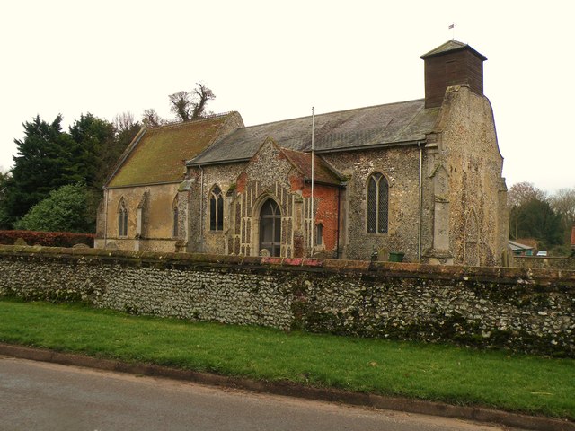
All Saints Church, West Harling
All Saints Church, West Harling, is a redundant Anglican church in the civil parish of Harling, Norfolk, England. It is recorded in the National Heritage...

Middle Harling Fen
Middle Harling Fen is a 11.8-hectare (29-acre) biological Site of Special Scientific Interest south of East Harling in Norfolk.This calcareous valley fen...

Roman Catholic Diocese of East Anglia
The Diocese of East Anglia (Latin: Dioecesis Angliae Orientalis) is a Latin diocese of the Catholic Church covering the counties of Cambridgeshire, Norfolk...

Riddlesworth
Riddlesworth is a civil parish in the English county of Norfolk. It covers an area of 8.26 km2 (3.19 sq mi) and had a population of 147 in 48 households...

Bridgham
Bridgham is a village and civil parish in the English county of Norfolk. It covers an area of 11.06 km2 (4.27 sq mi) and had a population of 328 in 130...

St Peter and St Paul, East Harling
St Peter and St Paul is a Grade I listed Church of England parish church in East Harling, Norfolk. It is part of Harling United Benefice, a group of five...

East Harling
East Harling is a village in the English county of Norfolk. The village forms the principal settlement in the civil parish of Harling, and is located 13...

Harling, Norfolk
Harling is a civil parish in the English county of Norfolk. It covers an area of 23.19 km2 (8.95 sq mi) and had a population of 2,201 in 932 households...
Nearby Amenities
Located within 500m of 52.423643,0.89960171Have you been to Big Wood?
Leave your review of Big Wood below (or comments, questions and feedback).