Alder Carr

Wood, Forest in Suffolk Babergh

England

Alder Carr

Polstead church
Polstead church Credit: mym

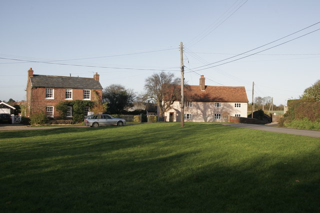
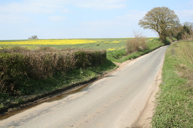
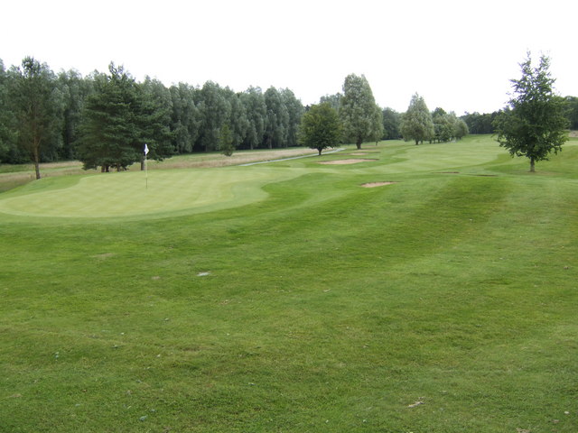
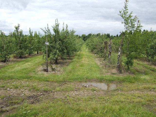
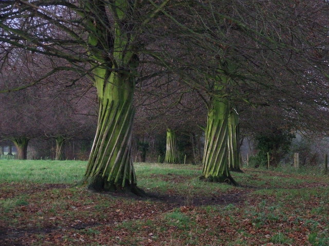
Alder Carr, located in Suffolk, England, is a stunning wood and forest area that stretches across approximately 200 acres. This beautiful nature reserve is known for its diverse range of wildlife and is a popular destination for nature enthusiasts and birdwatchers.

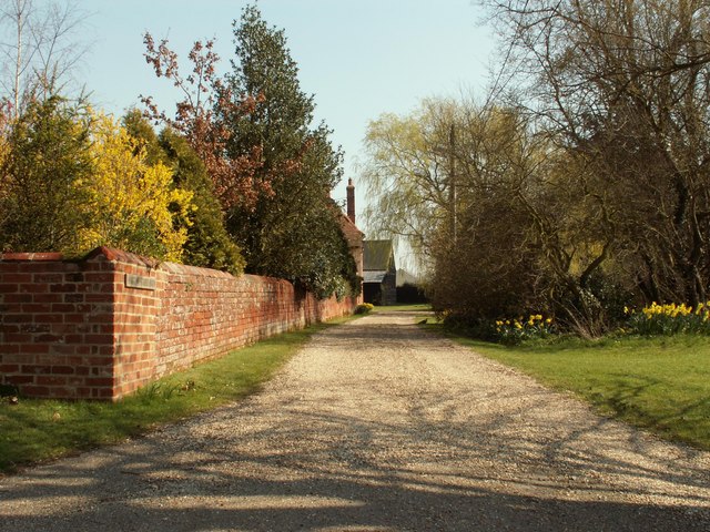
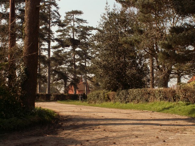
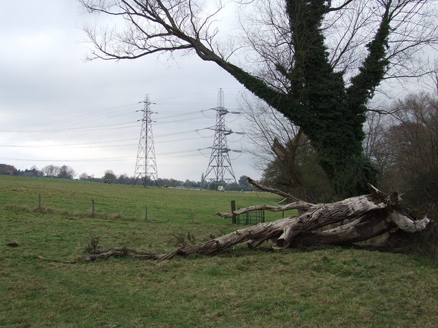
The woodlands of Alder Carr consist primarily of alder trees, which thrive in the wetland environment created by the nearby River Deben. The area is rich in biodiversity, with an abundance of flora and fauna. Visitors can enjoy walking through the peaceful forest trails, taking in the serene atmosphere and admiring the vibrant colors of the various wildflowers that bloom throughout the year.

Alder Carr is also home to a variety of animal species, including deer, foxes, and a wide range of bird species. Birdwatchers flock to this area to catch glimpses of rare and migratory birds that make their homes in the woodlands. The reserve offers excellent birdwatching opportunities, with several well-positioned observation points and hides.

Additionally, Alder Carr is committed to conservation efforts, actively preserving and protecting the natural habitats found within the reserve. The area has been designated as a Site of Special Scientific Interest (SSSI), highlighting its importance in maintaining and promoting biodiversity.

For visitors seeking a tranquil escape into nature, Alder Carr provides a serene and picturesque setting. Whether it's exploring the woodlands, observing wildlife, or simply enjoying the peaceful surroundings, this Suffolk gem offers a truly immersive nature experience.

If you have any feedback on the listing, please let us know in the comments section below.
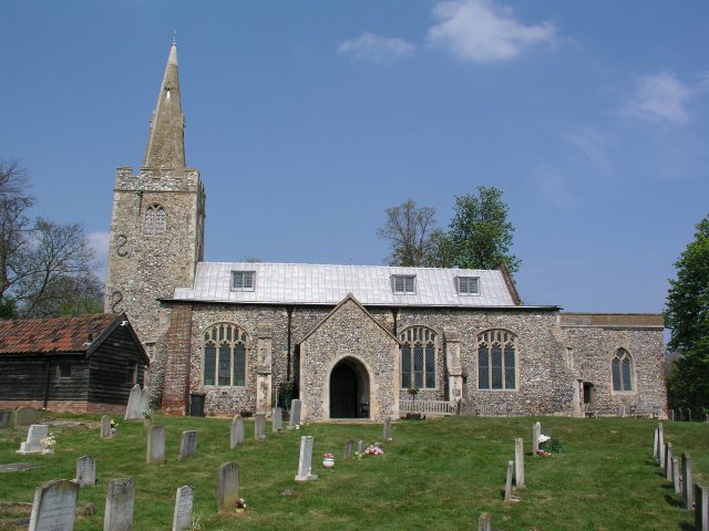
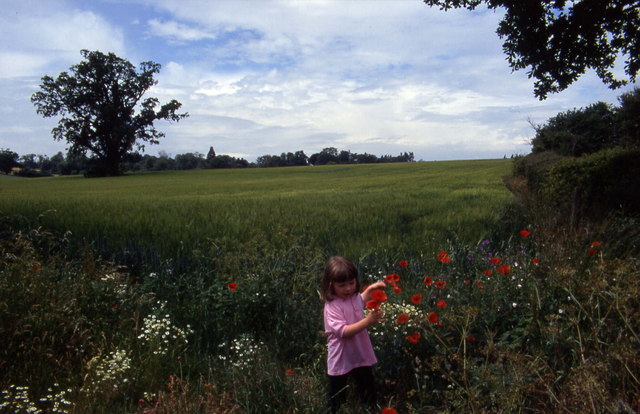
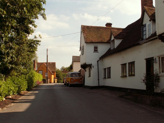
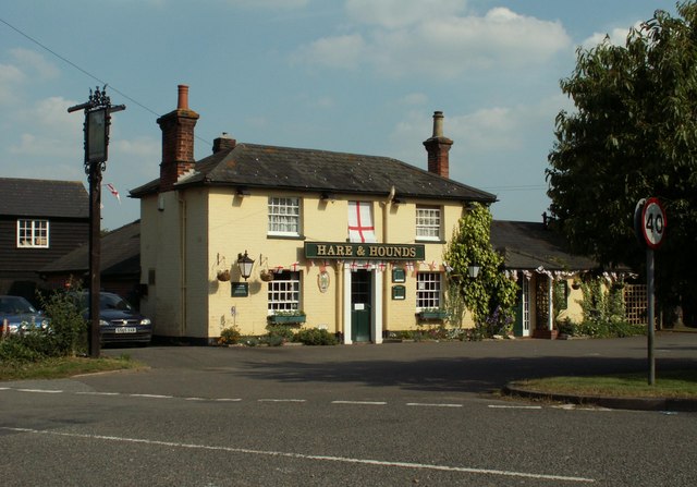
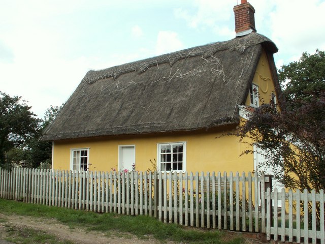
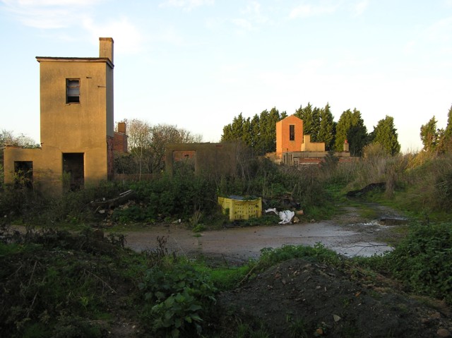
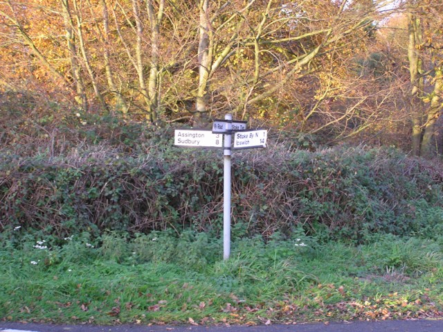
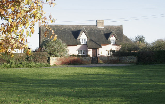
Alder Carr Images

Images are sourced within 2km of 52.007053/0.86643199 or Grid Reference TL9638. Thanks to Geograph Open Source API. All images are credited.

Polstead church
Polstead church
Floral delights in field at Mill Street The summer of 1996 will be forever remembered by me as the year of red poppies.  They seemed to be everywhere and lasted for many weeks.
Floral delights in field at Mill Street
The summer of 1996 will be forever remembered by me as the year of red poppies. They seemed to be everywhere and lasted for many weeks.
Stone Street, Suffolk Stone Street is a small hamlet lying south of the village of Boxford. Along the street are some interesting houses, including this fine timber-framed house on the right of the picture.
Stone Street, Suffolk
Stone Street is a small hamlet lying south of the village of Boxford. Along the street are some interesting houses, including this fine timber-framed house on the right of the picture.
'Hare And Hounds' inn, Leavenheath, Suffolk This inn stands alongside the busy A134 road.
'Hare And Hounds' inn, Leavenheath, Suffolk
This inn stands alongside the busy A134 road.
Cottage at Stoke Tye, Suffolk Stoke Tye is a small place northwest of Stoke-by-Nayland and has just a few houses like the one in this picture.
Cottage at Stoke Tye, Suffolk
Stoke Tye is a small place northwest of Stoke-by-Nayland and has just a few houses like the one in this picture.
Derelict building at The Carrs near Leavenheath
Crossroads near Stoke Priory
Bramble Cottage This cottage is on the green in Whitestreet Green. I'm afraid that there are no markers which will confirm that this is where I say it is!! As with many villages in the area there are no signs which tell you where you are!
Bramble Cottage
This cottage is on the green in Whitestreet Green. I'm afraid that there are no markers which will confirm that this is where I say it is!! As with many villages in the area there are no signs which tell you where you are!
Whitestreet Green Another shot of the green. Looking north this time. Bramble Cottage is just out of view on the right.
Whitestreet Green
Another shot of the green. Looking north this time. Bramble Cottage is just out of view on the right.
Part of Harrow Street Farm
Part of Boxford (Suffolk) Farms Ltd. This is part of a complex of buildings at Hill Farm.
Part of Boxford (Suffolk) Farms Ltd.
This is part of a complex of buildings at Hill Farm.
Road to Firs Farm The farmhouse can just be seen through the trees.
Road to Firs Farm
The farmhouse can just be seen through the trees.
Between Leavenheath and Boxford A quiet single track lane between Leavenheath and Boxford in Suffolk
Between Leavenheath and Boxford
A quiet single track lane between Leavenheath and Boxford in Suffolk
Green at Stoke-by-Nayland Golf Club.
Apple orchards at Leavenheath We are not far from the manufacturers of Copella fruit juices here.
Apple orchards at Leavenheath
We are not far from the manufacturers of Copella fruit juices here.
Maintenance overhead Maintenance on the overhead power lines near to Polstead, Suffolk.
Maintenance overhead
Maintenance on the overhead power lines near to Polstead, Suffolk.
Twisted trees Twisted laths of wood around a line of trees along the drive to Peyton Hall near Stone Street Suffolk.
Twisted trees
Twisted laths of wood around a line of trees along the drive to Peyton Hall near Stone Street Suffolk.
Pylons and fallen tree Pylons and fallen tree near to Polstead, Suffolk. The pylon to the right is having maintenance work carried out on it. If you look carefully you can see three men working on the pylon. For close up view see <a title="https://www.geograph.org.uk/photo/615845" href="https://www.geograph.org.uk/photo/615845">Link</a>
Pylons and fallen tree
Pylons and fallen tree near to Polstead, Suffolk. The pylon to the right is having maintenance work carried out on it. If you look carefully you can see three men working on the pylon. For close up view see Link
Show me another place!

Alder Carr is located at Grid Ref: TL9638 (Lat: 52.007053, Lng: 0.86643199)

Administrative County: Suffolk

District: Babergh

Police Authority: Suffolk

What 3 Words

///valuables.eyelash.buyers. Near Bures St Mary, Suffolk

Related Wikis

Hagmore Green

Hagmore Green is a hamlet in the civil parish of Boxford, in the Babergh district, in the county of Suffolk, England. The nearest village is Boxford, the...

Gospel Oak, Polstead

The Gospel Oak was a veteran tree in Polstead, Suffolk. The tree is associated with Saint Cedd, who reputedly planted it or preached beneath it. The...

South Suffolk (UK Parliament constituency)

South Suffolk is a constituency represented in the House of Commons of the UK Parliament since 2015 by James Cartlidge, a Conservative. == History == South...

Polstead

Polstead is a village and civil parish in the Babergh district of Suffolk, England. The village lies 3 miles (4.8 km) northeast of Nayland, 5 miles (8...

Leavenheath

Leavenheath is a village and civil parish in Suffolk, England, close to the Essex border. Located on the A134 between Sudbury and Colchester, it is part...

St Mary's Church, Stoke-by-Nayland

St Mary's Church is a Grade I listed parish church in the Church of England in Stoke-by-Nayland. == History == The earliest parts of the church date from...

Stoke-by-Nayland

Stoke-by-Nayland is a village and civil parish in the Babergh district, in the county of Suffolk, England, close to the border with Essex. The parish includes...

Boxford, Suffolk

Boxford is a large village and civil parish in the Babergh district of Suffolk, England. Located around six miles east of Sudbury straddling the River...

Related Videos

Beckyboos Travel Adventures - Peake Spa at Stoke By Nayland Hotel

An overview of my spa day at Peake Spa which is inside Stoke by Nayland hotel.

Tour& Tasting Experience at Suffolk Distillery✨ #distillery #distillerytour #gintasting #suffolk

Book your Tour & Tasting Experience with us today! DURATION: approximately 40-60 minutes TIMES: Monday to Thursday ...

Day 57 Prone to Wander Europe Bike Tour | Welcome to England, Your Bike Paths Suck!

Watch next: https://youtu.be/KTLLtHMftT4?si=ZvjvpM2bGmJAI06C Playlist: ...

Nearby Amenities

Located within 500m of 52.007053,0.86643199
Power: tower
Lat/Long: 52.0087359/0.8658575
Power: tower
Lat/Long: 52.008181/0.8608739
Power: tower
Lat/Long: 52.0092982/0.8716993
Power: tower
Lat/Long: 52.0078025/0.8614932
Power: tower
Lat/Long: 52.0082449/0.8658759
Power: tower
Lat/Long: 52.008797/0.8720429
The data included in this document is from www.openstreetmap.org. The data is made available under ODbL.

Have you been to Alder Carr?

Leave your review of Alder Carr below (or comments, questions and feedback).