Spains Plantation
Wood, Forest in Suffolk Babergh
England
Spains Plantation
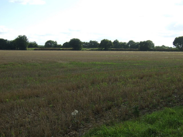
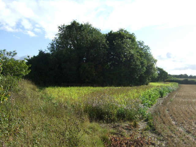
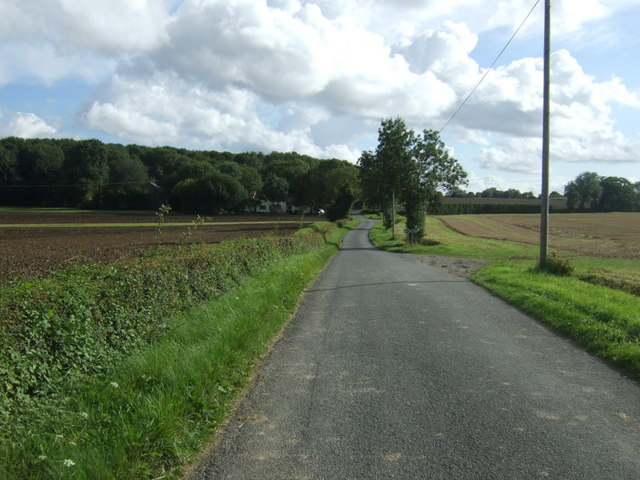
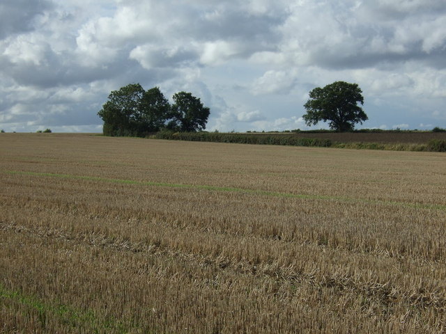
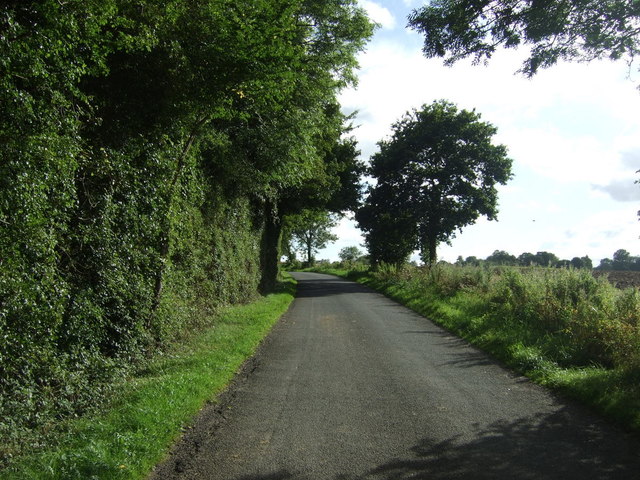
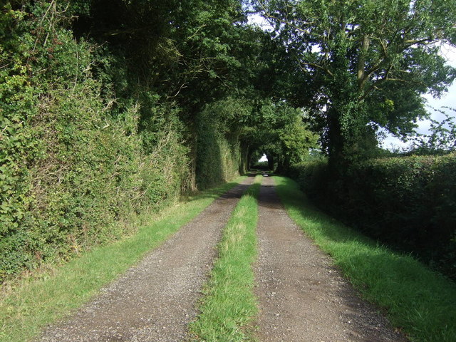
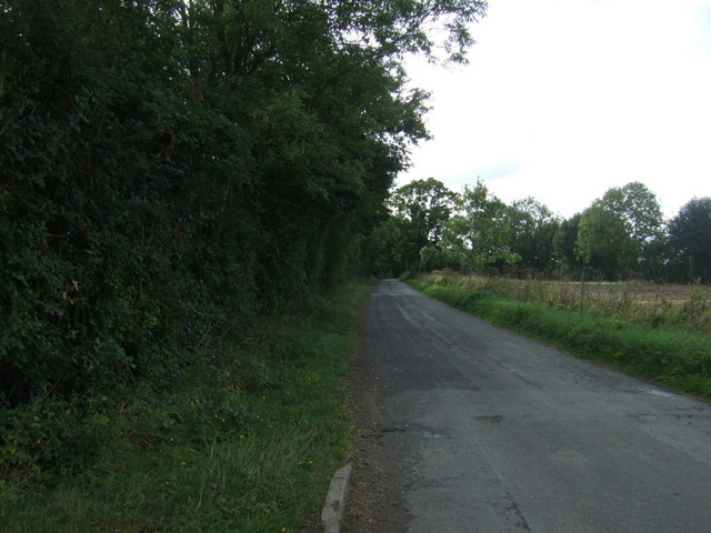
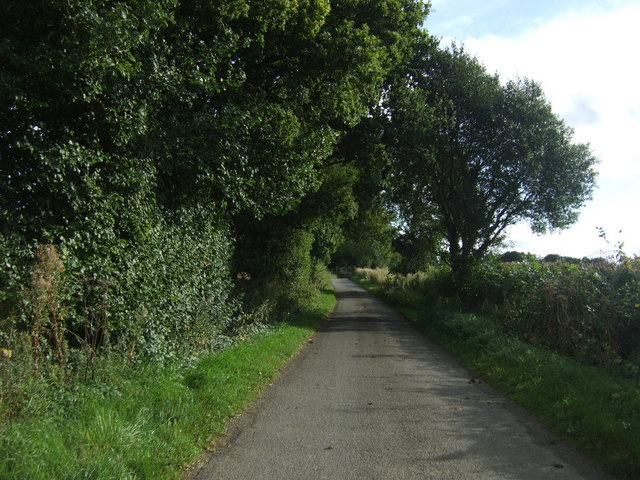
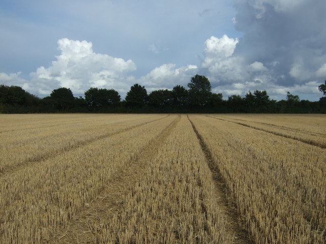
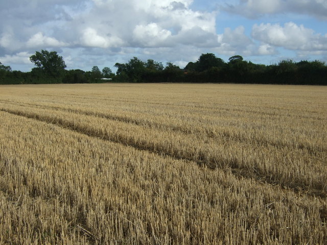
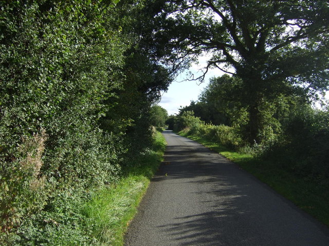
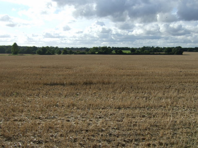
Spain's Plantation, Suffolk, also known as Wood, Forest, is a historic site located in Suffolk County, England. It is a vast area of land that encompasses a mix of woodlands and forests, offering visitors a serene and picturesque environment to explore.
The plantation spans over hundreds of acres and is home to a diverse range of plant species, including various types of trees, shrubs, and flowers. The woodland areas are dominated by majestic oak and beech trees, which provide a dense canopy, creating shaded pathways for walkers and hikers to enjoy.
Wildlife is abundant in Spain's Plantation, with many species finding sanctuary within the dense vegetation. Visitors may have the opportunity to encounter various animals, such as deer, foxes, rabbits, and a variety of bird species. The plantation's natural setting also attracts a range of insects, making it an ideal location for nature enthusiasts and photographers.
The plantation is well-maintained with an extensive network of trails and paths that meander through the woodlands, allowing visitors to immerse themselves in the beauty of nature. These pathways offer stunning views of the surrounding countryside and provide an excellent opportunity for leisurely walks, jogging, or cycling.
Spain's Plantation is not only a haven for nature lovers but also serves as an educational resource. It offers guided tours and educational programs where visitors can learn about the importance of forests, conservation efforts, and the ecological significance of the area.
The plantation's serene atmosphere, diverse flora and fauna, and educational offerings make it a popular destination for locals and tourists alike, seeking a peaceful retreat or to connect with nature.
If you have any feedback on the listing, please let us know in the comments section below.
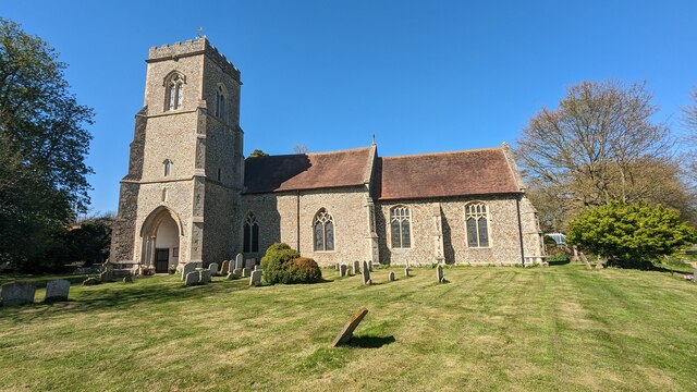
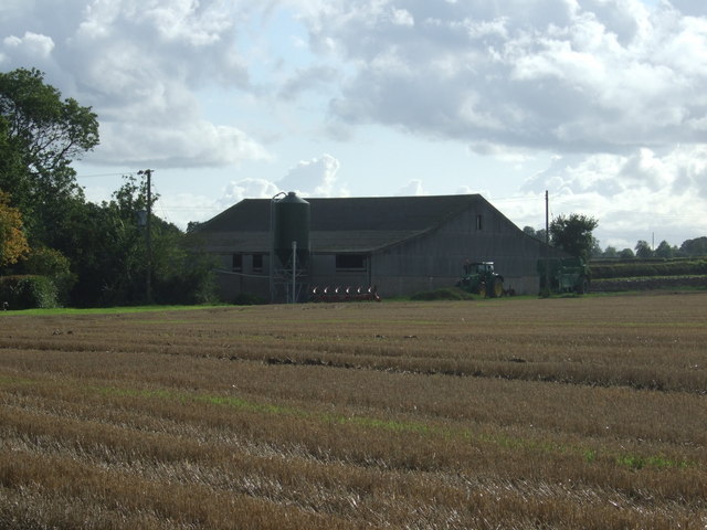
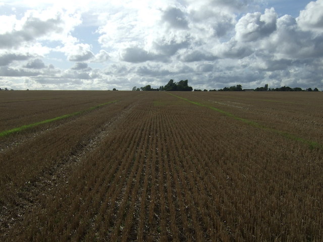
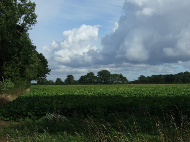
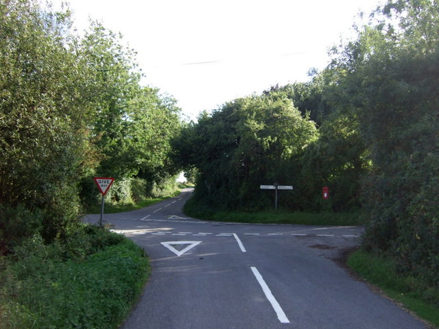
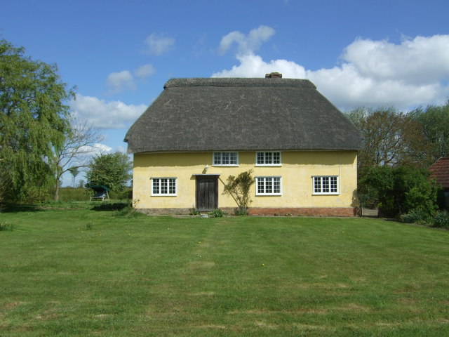
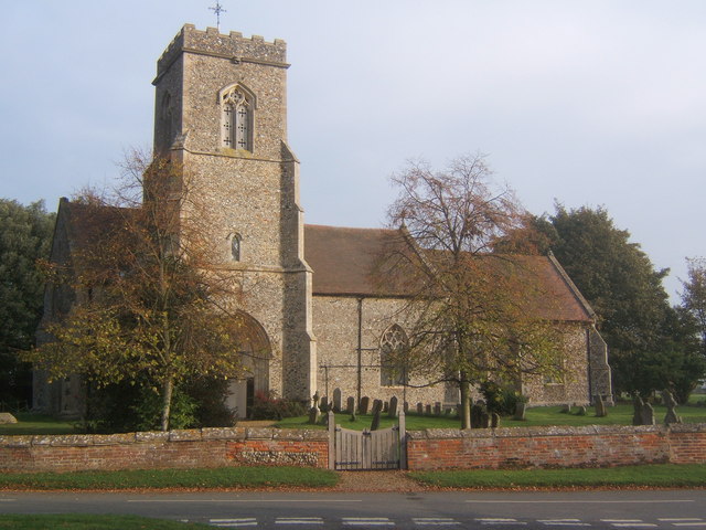
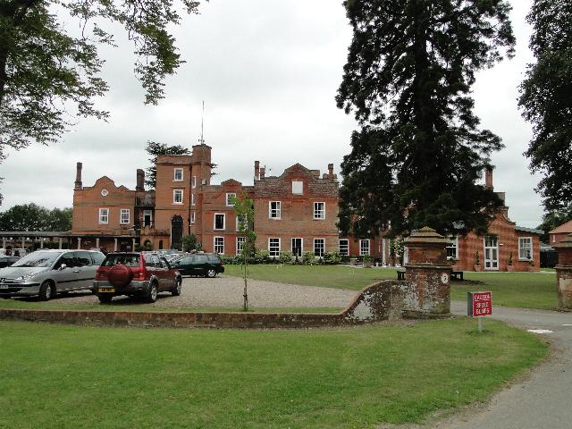
Spains Plantation Images
Images are sourced within 2km of 52.155898/0.87063834 or Grid Reference TL9654. Thanks to Geograph Open Source API. All images are credited.
Spains Plantation is located at Grid Ref: TL9654 (Lat: 52.155898, Lng: 0.87063834)
Administrative County: Suffolk
District: Babergh
Police Authority: Suffolk
What 3 Words
///catchers.minder.couple. Near Wattisham, Suffolk
Nearby Locations
Related Wikis

Centre Academy East Anglia
Centre Academy East Anglia, formerly known as The Old Rectory School is a private special school in Brettenham, Suffolk, England, founded in 1981. The...
Brettenham, Suffolk
Brettenham is a village and civil parish in the Babergh district of Suffolk, England. In 2005 it had a population of 270, increasing to 353 at the 2011...

RAF Rattlesden
Royal Air Force Rattlesden or more simply RAF Rattlesden is a former Royal Air Force station located 9 miles (14 km) south east of Bury St Edmunds, Suffolk...
Old Buckenham Hall School
Old Buckenham Hall School (commonly known as OBH) is a day and boarding preparatory school with pre-prep for boys and girls in the village of Brettenham...

Thorpe Morieux Woods
Thorpe Morieux Woods is a 45.2-hectare (112-acre) biological Site of Special Scientific Interest north of Thorpe Morieux in Suffolk. Part of it is Bull...

Thorpe Morieux
Thorpe Morieux ( Mə-ROO) is a small village and civil parish in Suffolk, England. It is 10 miles south-east of Bury St Edmunds and 10 miles north east...

Felsham
Felsham is a village and civil parish in the Mid Suffolk district of Suffolk in eastern England. In 2005 its population was 420. == History == The origin...
Gedding
Gedding is a village and civil parish in the Mid Suffolk district of Suffolk in eastern England. Located around six miles south east of Bury St Edmunds...
Nearby Amenities
Located within 500m of 52.155898,0.87063834Have you been to Spains Plantation?
Leave your review of Spains Plantation below (or comments, questions and feedback).