Wyken Wood
Wood, Forest in Suffolk West Suffolk
England
Wyken Wood
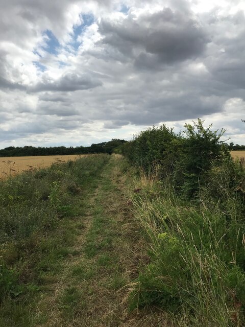
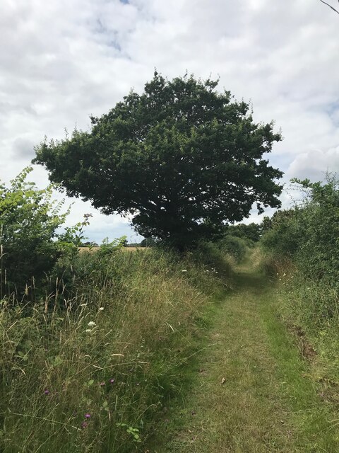
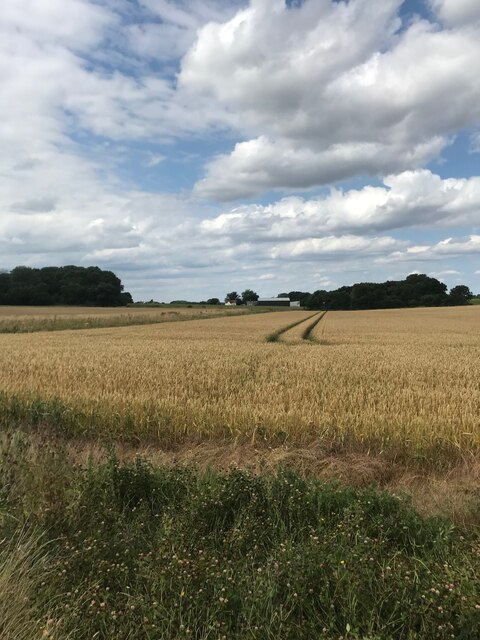
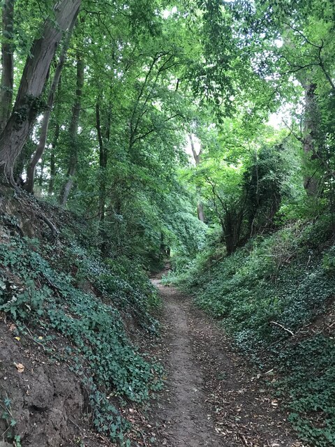
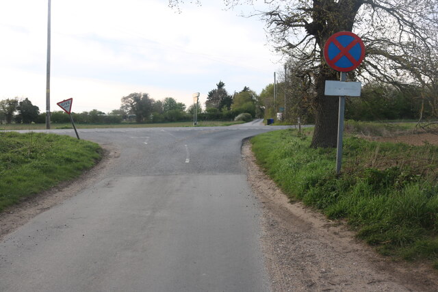
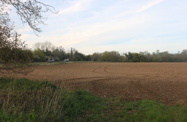
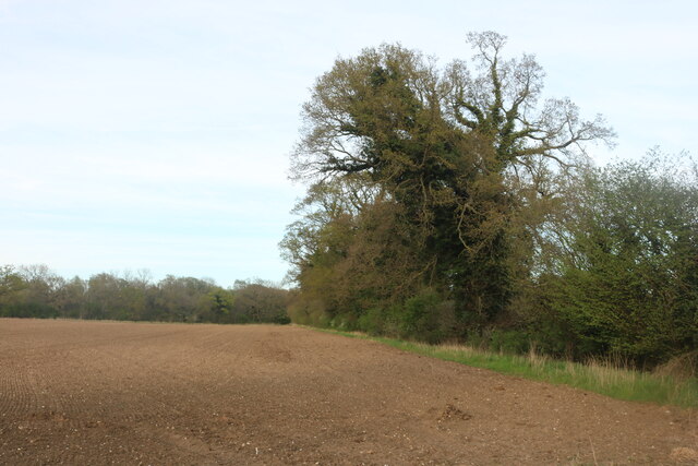
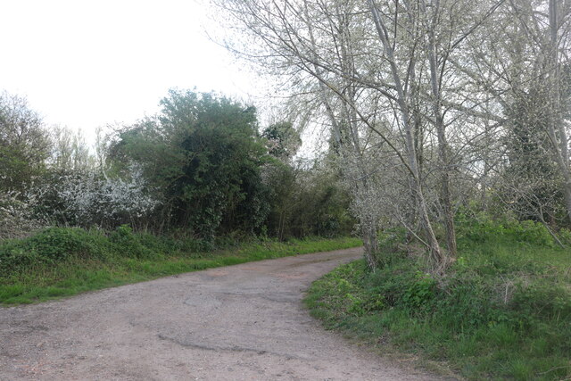
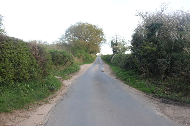
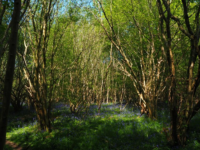
Wyken Wood is a picturesque woodland located in the county of Suffolk, England. Covering an area of approximately 50 acres, this ancient forest is nestled in the heart of the rural countryside, offering a tranquil and serene escape from the bustling city life.
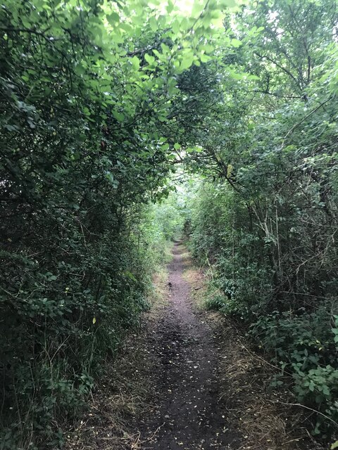
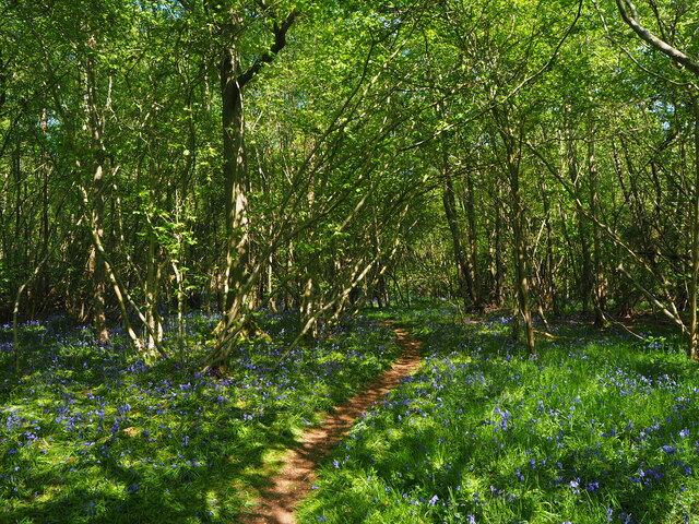
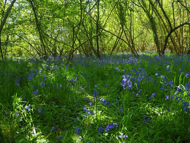
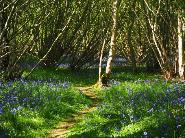
The wood is predominantly made up of a diverse range of broadleaf trees, including oak, beech, ash, and birch, which create a striking canopy overhead. This dense foliage provides a haven for a variety of wildlife, including deer, foxes, badgers, and numerous bird species. As a result, Wyken Wood is a popular destination for nature enthusiasts and birdwatchers.
Walking trails wind their way through the wood, inviting visitors to explore its natural beauty. These paths are well-maintained and offer breathtaking views of the surrounding landscape. Along the way, informative signage educates visitors about the flora and fauna that call Wyken Wood their home.
The wood also boasts a small pond, adding to its charm and providing a habitat for amphibians and aquatic plants. The tranquil sound of water flowing adds to the peaceful atmosphere of the woodland.
Wyken Wood is not only a haven for nature lovers but also a place of historical significance. The forest has been in existence for centuries and is believed to have played a role in local folklore and legends.
Overall, Wyken Wood offers a captivating blend of natural beauty, wildlife, and historical significance, making it a must-visit destination for anyone seeking a peaceful retreat in the Suffolk countryside.
If you have any feedback on the listing, please let us know in the comments section below.
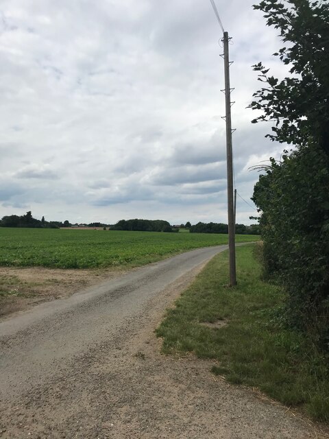
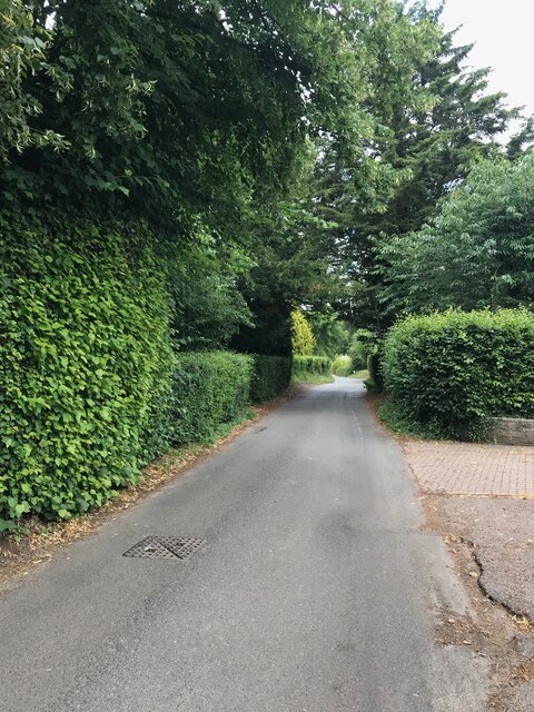
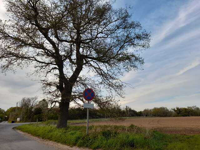
Wyken Wood Images
Images are sourced within 2km of 52.304097/0.87982389 or Grid Reference TL9671. Thanks to Geograph Open Source API. All images are credited.

Wyken Wood is located at Grid Ref: TL9671 (Lat: 52.304097, Lng: 0.87982389)
Administrative County: Suffolk
District: West Suffolk
Police Authority: Suffolk
What 3 Words
///mincing.merely.camps. Near Ixworth, Suffolk
Nearby Locations
Related Wikis

Stanton Woods
Stanton Woods is a 66.1-hectare (163-acre) biological Site of Special Scientific Interest south of Stanton in Suffolk.The site consists of several ancient...
Langham, Suffolk
Langham is a village and civil parish in the Mid Suffolk district of Suffolk in eastern England. Located around seven miles north east of Bury St Edmunds...
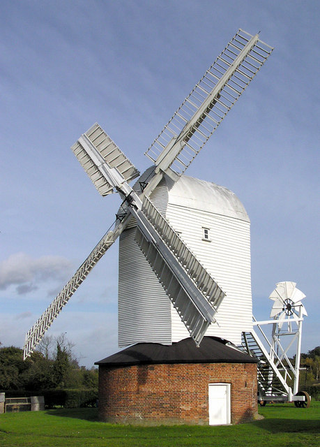
Upthorpe Mill, Stanton
Upthorpe Mill is a Grade II* listed post mill and scheduled monument at Stanton, Suffolk, England, which has been restored to working order. == History... ==
Stanton, Suffolk
Stanton is a village and civil parish in the West Suffolk district of Suffolk in eastern England, about nine miles north-east of Bury St Edmunds, on the...

Bardwell, Suffolk
Bardwell is a village and civil parish in the West Suffolk district of Suffolk, England. == Location == Bardwell is located about ten miles north-east...
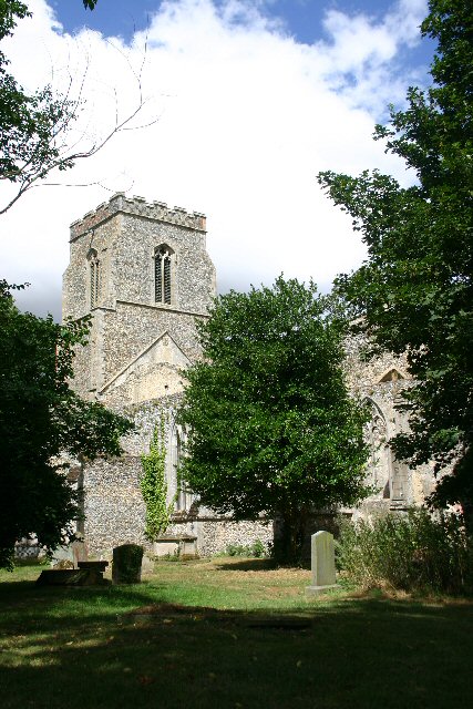
St John the Baptist's Church, Stanton
St John the Baptist's Church is a redundant Anglican church in the village of Stanton, Suffolk, England. It is recorded in the National Heritage List...

Hunston, Suffolk
Hunston is a small Suffolk village and civil parish set in a conservation area of Mid-Suffolk and lies between Stowlangtoft and Badwell Ash off the A1088...

RAF Shepherds Grove
Royal Air Force Shepherds Grove or more simply RAF Shepherds Grove is a former Royal Air Force station located in Suffolk, active from 1943–44 to 1966...
Nearby Amenities
Located within 500m of 52.304097,0.87982389Have you been to Wyken Wood?
Leave your review of Wyken Wood below (or comments, questions and feedback).