Gorse Wood

Wood, Forest in Kent Ashford

England

Gorse Wood

Oakenden, Plurenden Road Compared with <a href="https://www.geograph.org.uk/photo/3874961">TQ9537 : Erection of new dwellings at 3 & 4 Harlakenden Farm</a>, this newly-built house now has a name.
Oakenden, Plurenden Road Credit: John Baker

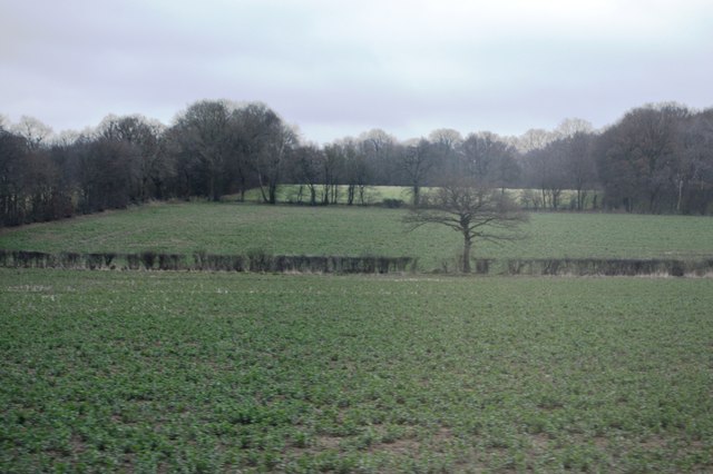
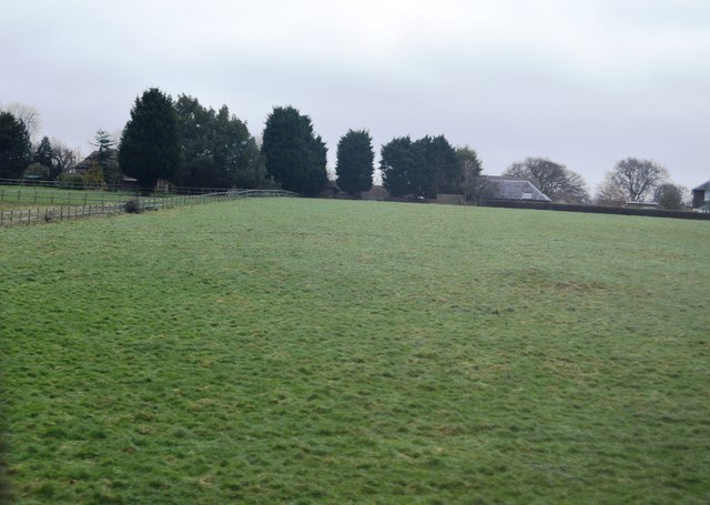
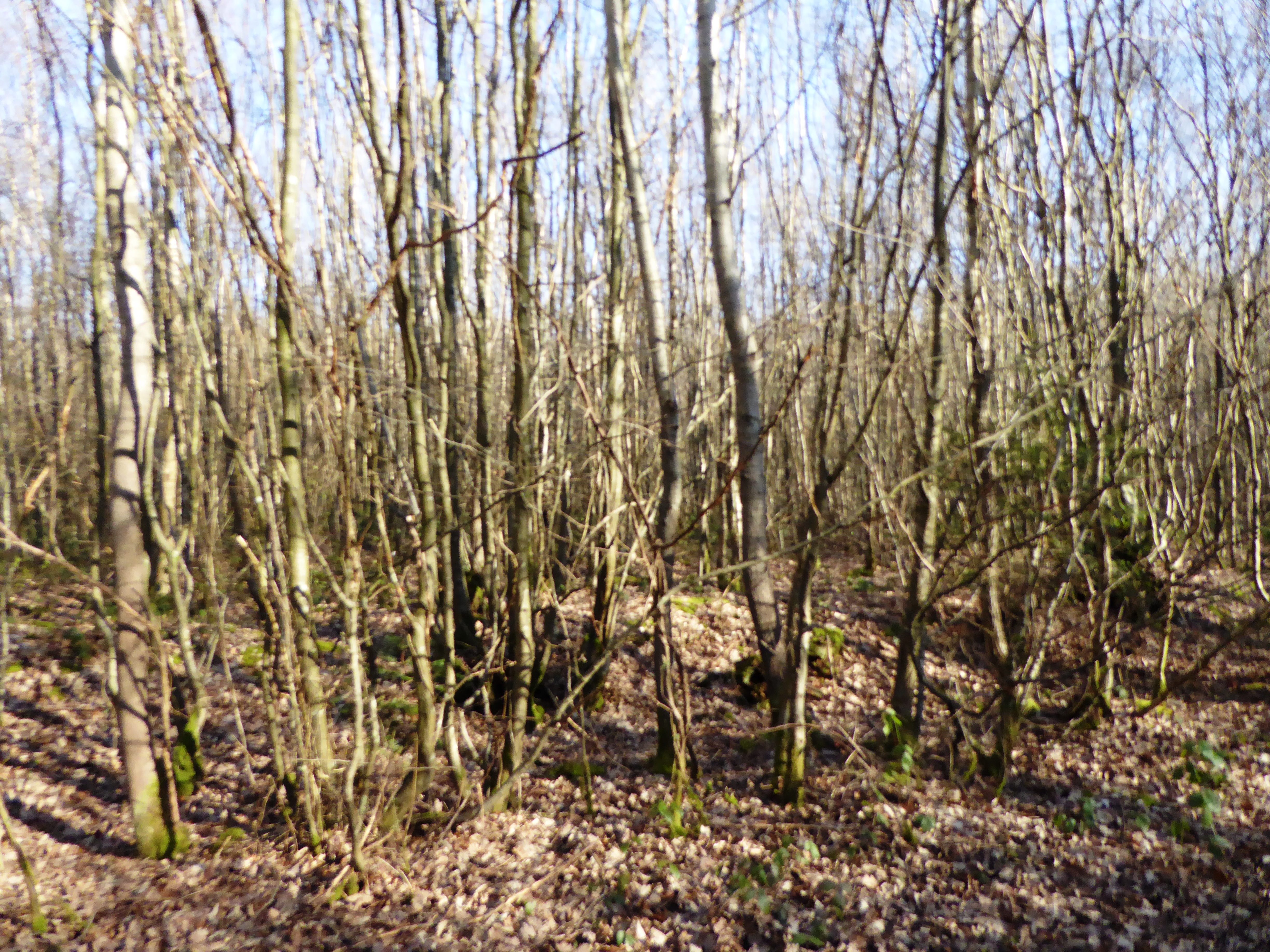
Gorse Wood, located in Kent, England, is a picturesque woodland area encompassing approximately 200 acres. Situated in the southeastern part of the county, the wood is renowned for its natural beauty and diverse ecosystem. It is primarily composed of gorse, a spiny shrub that dominates the landscape and lends its name to the woodland.

The wood's dense vegetation provides a habitat for a wide range of flora and fauna. Among the dense gorse thickets, visitors can spot various plant species such as bluebells, heather, and bracken, which contribute to the wood's vibrant colors throughout the year. The area is also home to a variety of bird species, including woodpeckers, owls, and warblers, making it a haven for birdwatchers.

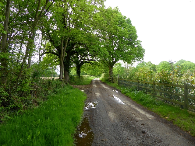
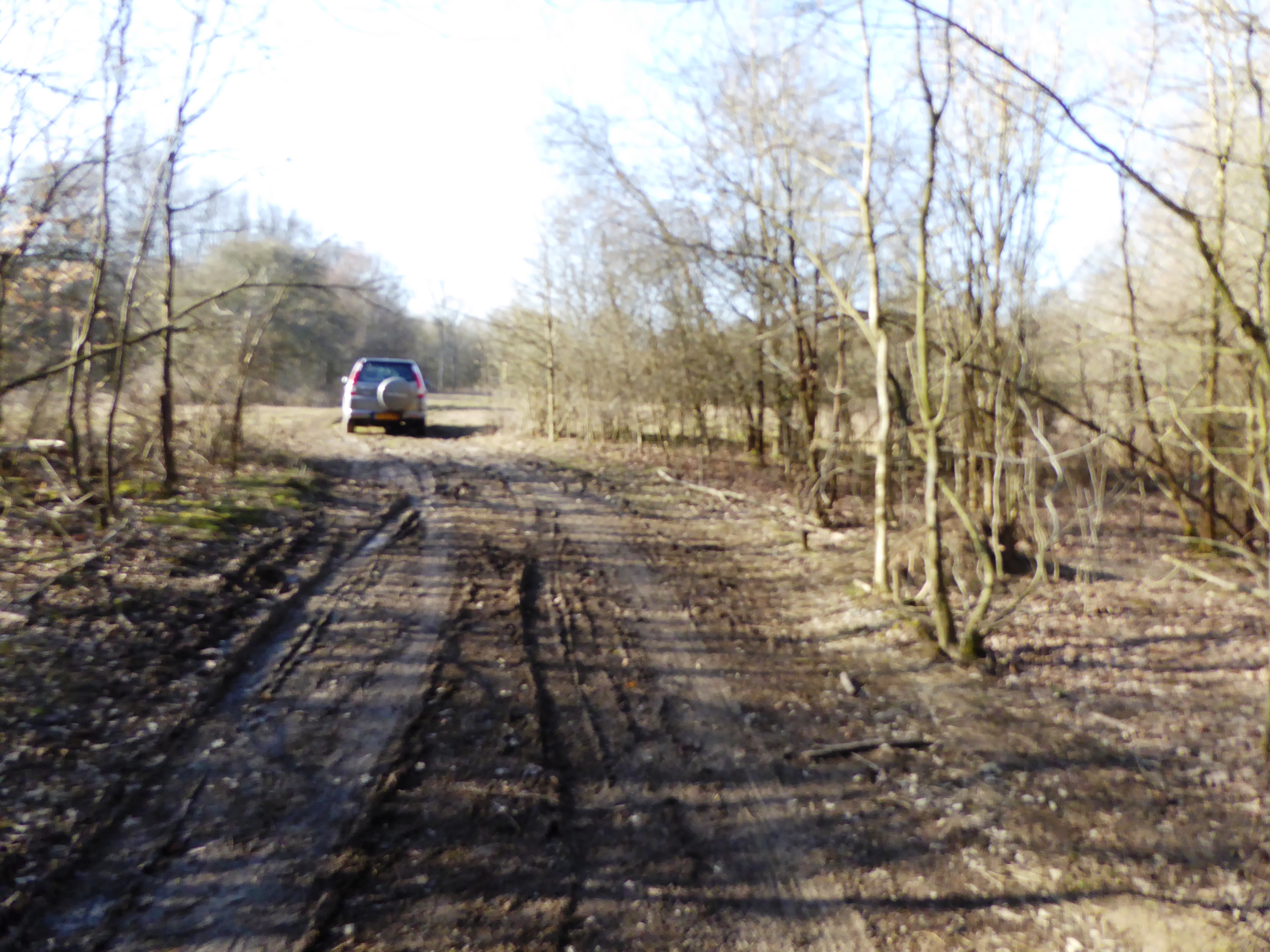
Gorse Wood offers numerous walking trails, allowing visitors to explore the woodland at their leisure. The paths wind through the trees, providing a peaceful and tranquil environment for hikers and nature enthusiasts. In spring, the wood bursts into a riot of color as the gorse flowers bloom, creating a stunning spectacle against the green backdrop.

The wood is managed by a local conservation organization, which ensures the preservation of its natural beauty and biodiversity. Conservation efforts include controlled burns to maintain the gorse population and prevent the wood from becoming overgrown. These measures help sustain the ecosystem and promote the growth of a diverse range of plant and animal species.

Overall, Gorse Wood in Kent is a captivating destination for those seeking to immerse themselves in nature. Its dense gorse thickets, diverse flora and fauna, and well-maintained trails make it a must-visit location for anyone wishing to experience the beauty of an English woodland.

If you have any feedback on the listing, please let us know in the comments section below.

Gorse Wood Images

Images are sourced within 2km of 51.106709/0.80443432 or Grid Reference TQ9637. Thanks to Geograph Open Source API. All images are credited.

Oakenden, Plurenden Road Compared with <a href="https://www.geograph.org.uk/photo/3874961">TQ9537 : Erection of new dwellings at 3 & 4 Harlakenden Farm</a>, this newly-built house now has a name.
Oakenden, Plurenden Road
Compared with TQ9537 : Erection of new dwellings at 3 & 4 Harlakenden Farm, this newly-built house now has a name.
Springfield, Plurenden Road Compared with <a href="https://www.geograph.org.uk/photo/3874953">TQ9537 : Erection of new dwellings at 3 & 4 Harlakenden Farm</a>, this newly-built house now has a name.
Springfield, Plurenden Road
Compared with TQ9537 : Erection of new dwellings at 3 & 4 Harlakenden Farm, this newly-built house now has a name.
Development of Shadoxhurst Garage site, Woodchurch Road Planning permission has been granted by Ashford Borough Council under application number 14/00254/AS for the “erection of 17 new dwellings together with roads, access, sewers and external works”. This was the <a href="https://www.geograph.org.uk/photo/3874980">TQ9638 : Former Shadoxhurst Garage, Woodchurch Road</a> in February 2014. The development has been given the name of Oak Fields.
Development of Shadoxhurst Garage site, Woodchurch Road
Planning permission has been granted by Ashford Borough Council under application number 14/00254/AS for the “erection of 17 new dwellings together with roads, access, sewers and external works”. This was the TQ9638 : Former Shadoxhurst Garage, Woodchurch Road in February 2014. The development has been given the name of Oak Fields.
Looking north-northwest along Church Lane The white-painted, weather-boarded house, in the distance, is Quince Cottage -  a grade II listed building dating from the 18th century
<span class="nowrap"><a title="http://www.britishlistedbuildings.co.uk/en-181144-quince-cottage-shadoxhurst-kent#.VdIaTxuFPcc" rel="nofollow ugc noopener" href="http://www.britishlistedbuildings.co.uk/en-181144-quince-cottage-shadoxhurst-kent#.VdIaTxuFPcc">Link</a><img style="margin-left:2px;" alt="External link" title="External link - shift click to open in new window" src="https://s1.geograph.org.uk/img/external.png" width="10" height="10"/></span>
Looking north-northwest along Church Lane
The white-painted, weather-boarded house, in the distance, is Quince Cottage - a grade II listed building dating from the 18th century LinkExternal link
The rainy season? A lane off the Shadoxhurst Road
The rainy season?
A lane off the Shadoxhurst Road
Wymondham, Woodchurch Road Planning permission was granted by Ashford Borough Council under application number 15/00373/AS for the “demolition of existing dwelling and erection of four new dwellings and four double garages with access and fencing to road frontage”.

By July 2017, the site of the house had become a <a href="https://www.geograph.org.uk/photo/5486007">TQ9738 : Building site, Woodchurch Road</a>.
Wymondham, Woodchurch Road
Planning permission was granted by Ashford Borough Council under application number 15/00373/AS for the “demolition of existing dwelling and erection of four new dwellings and four double garages with access and fencing to road frontage”. By July 2017, the site of the house had become a TQ9738 : Building site, Woodchurch Road.
Tree in a hedge
Tree in a hedge
Two trees in a hedge
Grazing by Ashford Rd
Bevenden House
Bevenden House
Barn Conversion, Lodge Place
Flat farmland by Ashford Rd
Road junction on Plurenden Road The cycleway signs indicate that National Cycle Route 18 passes along Plurenden Road.
Road junction on Plurenden Road
The cycleway signs indicate that National Cycle Route 18 passes along Plurenden Road.
Lane off Plurenden Road
Hengherst Farm Seen from Shadoxhurst Road.
Hengherst Farm
Seen from Shadoxhurst Road.
Field with sheep off Shadoxhurst Road Harlakenden Wood beyond.
Field with sheep off Shadoxhurst Road
Harlakenden Wood beyond.
Shed and field near Frightsbridge Farm
Oak Fields, Woodchurch Road Compared with <a href="https://www.geograph.org.uk/photo/4607836">TQ9638 : Development of Shadoxhurst Garage site, Woodchurch Road</a>, the development, which was described in Ashford Borough Council’s planning application 14/00254/AS as the “erection of 17 new dwellings together with roads, access, sewers and external works”, is nearing completion.
Oak Fields, Woodchurch Road
Compared with TQ9638 : Development of Shadoxhurst Garage site, Woodchurch Road, the development, which was described in Ashford Borough Council’s planning application 14/00254/AS as the “erection of 17 new dwellings together with roads, access, sewers and external works”, is nearing completion.
Show me another place!

Gorse Wood is located at Grid Ref: TQ9637 (Lat: 51.106709, Lng: 0.80443432)

Administrative County: Kent

District: Ashford

Police Authority: Kent

What 3 Words

///position.ethic.cable. Near Shadoxhurst, Kent

Related Wikis

Ashford (UK Parliament constituency)

Ashford is a constituency in Kent created in 1885 and represented in the House of Commons of the UK Parliament since 1997 by Damian Green, a Conservative...

Stone Wood

Stone Wood is a nature reserve south-west of Shadoxhurst in Kent. It is managed by Kent Wildlife Trust (KWT).This site was clear felled in 1992 and left...

Shadoxhurst

Shadoxhurst () is a civil parish and a village on the remnant forest the Kent Weald, near Ashford in Kent, England between the Greensand Ridge and Romney...

Alex Farm Pastures

Alex Farm Pastures is a 4.5-hectare (11-acre) biological Site of Special Scientific Interest south of Shadoxhurst in Kent.This site has unimproved neutral...

RAF Ashford

Royal Air Force Ashford or more simply RAF Ashford is a former Royal Air Force Advanced Landing Ground in Kent, England. The landing ground is located...

RAF Woodchurch

Royal Air Force Woodchurch, or more simply RAF Woodchurch, is a former Royal Air Force Advanced Landing Ground located in Kent, England. The airfield...

Stubbs Cross

Stubbs Cross is a hamlet in the civil parish of Kingsnorth near Ashford in Kent, England. The area runs from a cross road at Ashford Road that leads to...

Shirkoak

Shirkoak is a hamlet in the civil parish of Woodchurch, southwest of the town of Ashford in Kent, England. == External links == Media related to Shirkoak...

Nearby Amenities

Located within 500m of 51.106709,0.80443432
The data included in this document is from www.openstreetmap.org. The data is made available under ODbL.

Have you been to Gorse Wood?

Leave your review of Gorse Wood below (or comments, questions and feedback).