Hatch Wood
Wood, Forest in Kent Swale
England
Hatch Wood
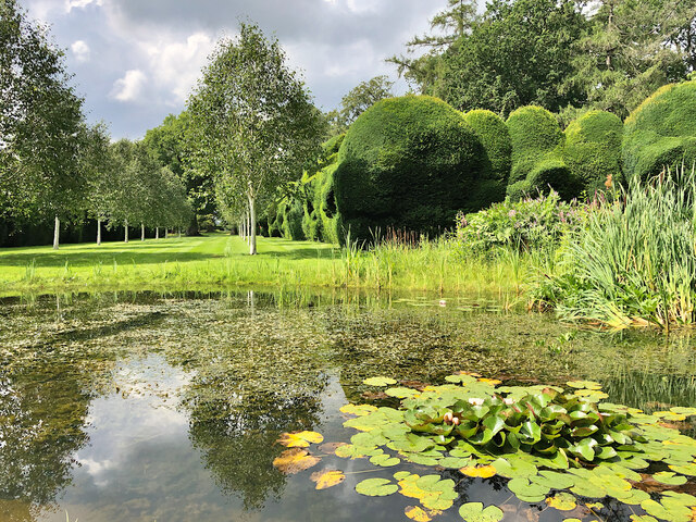
Hatch Wood, located in Kent, England, is a picturesque forest that offers a tranquil escape from the bustling city life. Covering an area of approximately 100 acres, this wood is a popular destination for nature enthusiasts and hikers alike.
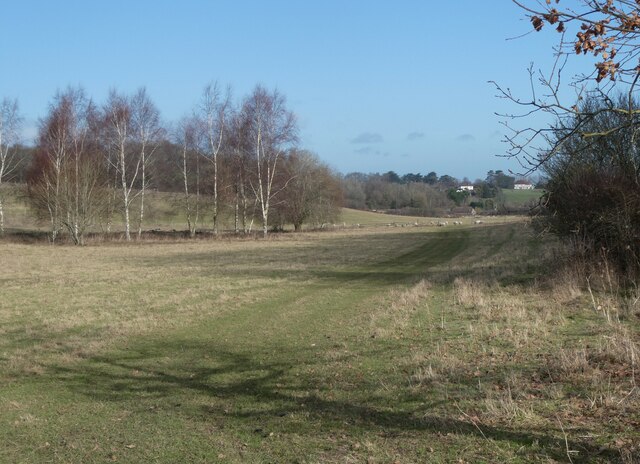
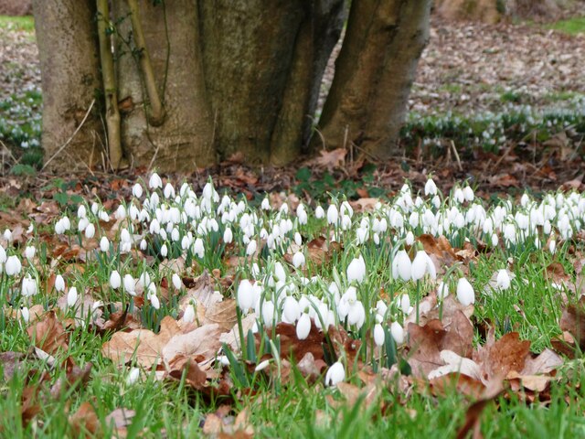
The wood is predominantly made up of oak and beech trees, creating a dense canopy that provides shade and shelter for a variety of flora and fauna. Bluebells carpet the forest floor in the spring, creating a vibrant and colorful display that attracts visitors from all around.
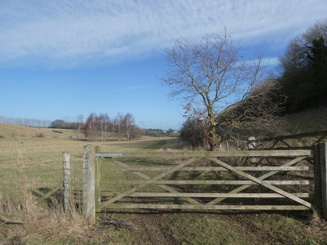
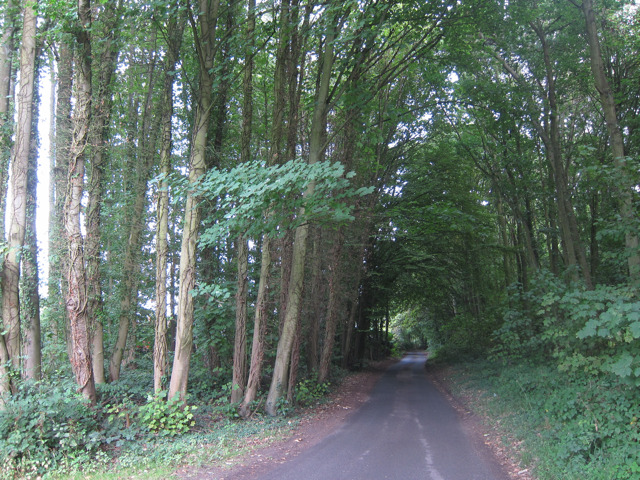
Hatch Wood is intersected by a network of well-maintained footpaths, which allows visitors to explore the area at their own pace. The paths meander through the forest, leading to hidden clearings, small ponds, and even a stream, adding to the charm of the wood.
Wildlife thrives in Hatch Wood, with a diverse range of species calling it home. Squirrels can often be spotted darting between the trees, while birdwatchers may be lucky enough to spot woodpeckers, owls, and various songbirds. Deer are also known to roam the wood, adding to the sense of tranquility and natural beauty.
Hatch Wood is easily accessible, with a car park nearby and public transportation options available. The wood offers a peaceful retreat for visitors, who can enjoy the fresh air, natural beauty, and the soothing sounds of nature. Whether for a leisurely stroll, a picnic, or wildlife spotting, Hatch Wood is a haven for those seeking a connection with nature in the heart of Kent.
If you have any feedback on the listing, please let us know in the comments section below.
Hatch Wood Images
Images are sourced within 2km of 51.280911/0.81452003 or Grid Reference TQ9657. Thanks to Geograph Open Source API. All images are credited.
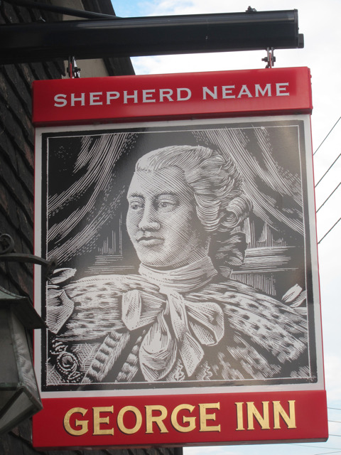
![The Carpenters Arms sign Sign for <a href="https://www.geograph.org.uk/photo/2563926">TQ9656 : The Carpenters Arms, Eastling</a>], a Shepherd Neame pub on The Street.](https://s0.geograph.org.uk/geophotos/02/56/39/2563924_55cd4d9a.jpg)


Hatch Wood is located at Grid Ref: TQ9657 (Lat: 51.280911, Lng: 0.81452003)
Administrative County: Kent
District: Swale
Police Authority: Kent
What 3 Words
///encourage.follow.doctor. Near Teynham, Kent
Nearby Locations
Related Wikis

Newnham Castle
Newnham Castle was a medieval castle in the village of Newnham, Kent, England. == History == Newnham Castle was built by the Normans, probably by Fulk...

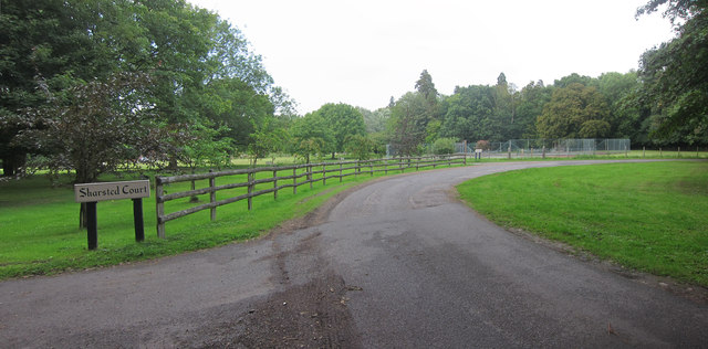
Sharsted Court
Sharsted Court is a grade I listed manor house set in woodland near the village of Newnham, Kent (in the parish of Doddington) England. A house or lodge...

Eastling
Eastling is a small village 4½ miles to the southwest of Faversham, Kent in England. It is set in a designated Area of Outstanding Natural Beauty on the...
Newnham, Kent
Newnham is a village and civil parish in the Syndale valley in Kent, England, in the administrative borough of Swale near the medieval market town of Faversham...

Pines Garden
Pines Garden is a house and large garden, located on the winding beach road from St Margaret's at Cliffe village down to the beach at St Margeret's Bay...
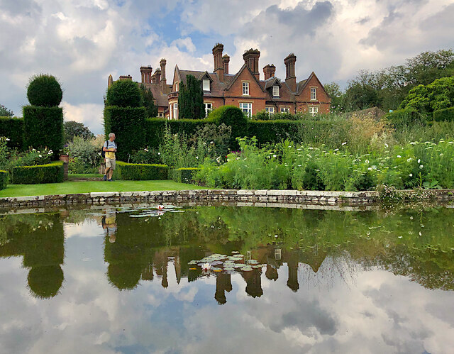
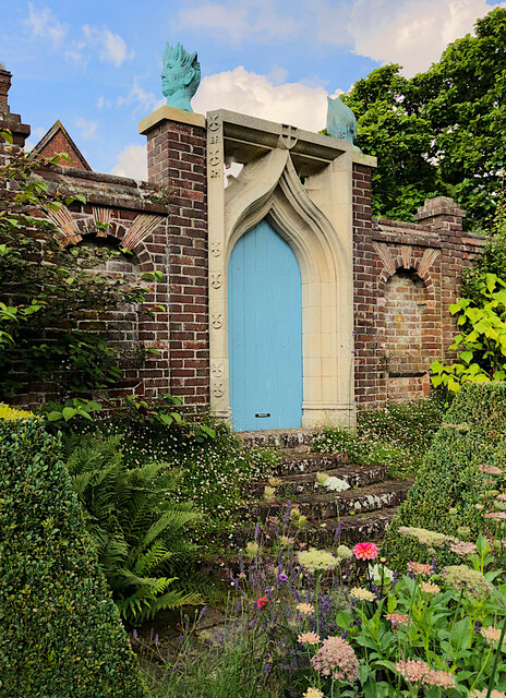
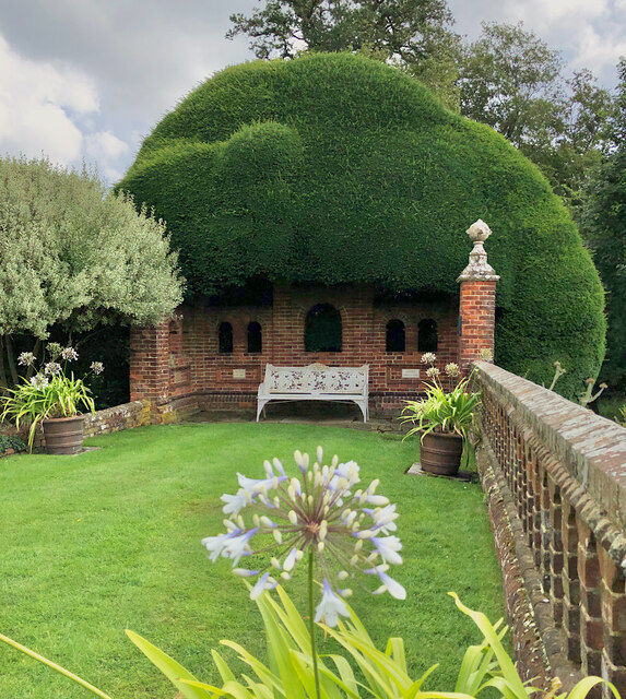
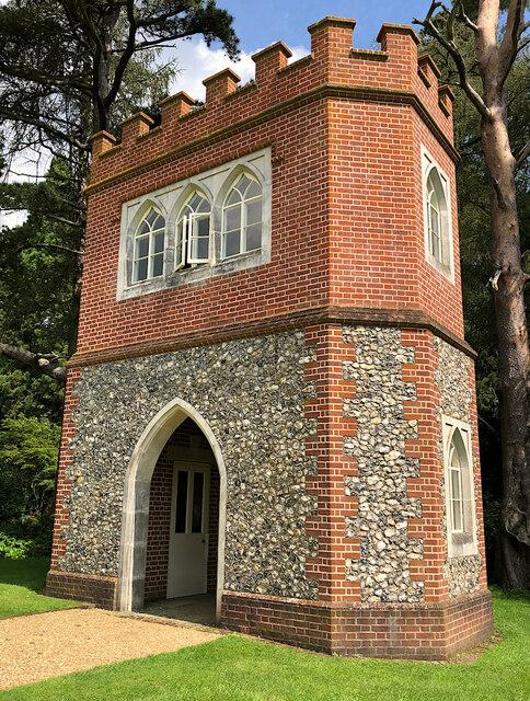
Doddington Place Gardens
Doddington Place Gardens is part of a 850 acres (3,400,000 m2) Edwardian estate, located on the edge of Doddington village, near Faversham in Kent, UK...

Belmont House and Gardens
Belmont is a Georgian house and gardens in Throwley, near Faversham in east Kent. Built between 1769 and 1793, it has been described as "a marvellous example...

Doddington, Kent
Doddington is a village and civil parish in the district of Swale in Kent, England. The Syndale Valley shelters the central part in the Kent Downs Area...
Nearby Amenities
Located within 500m of 51.280911,0.81452003Have you been to Hatch Wood?
Leave your review of Hatch Wood below (or comments, questions and feedback).