Forest Hill
Settlement in Kent
England
Forest Hill

Forest Hill is a suburban district located in the London Borough of Lewisham, in the county of Kent, England. It is situated approximately 6 miles southeast of Charing Cross, making it a desirable residential area for commuters working in central London.
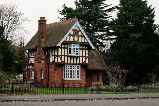
The area is known for its diverse mix of Victorian and Edwardian architecture, with a range of terraced houses, semi-detached properties, and larger detached residences. The picturesque Horniman Museum and Gardens, which house an extensive collection of artifacts and a beautiful conservatory, are a notable landmark in Forest Hill. The area is also home to the Devonshire Road Nature Reserve, providing residents with a peaceful green space.
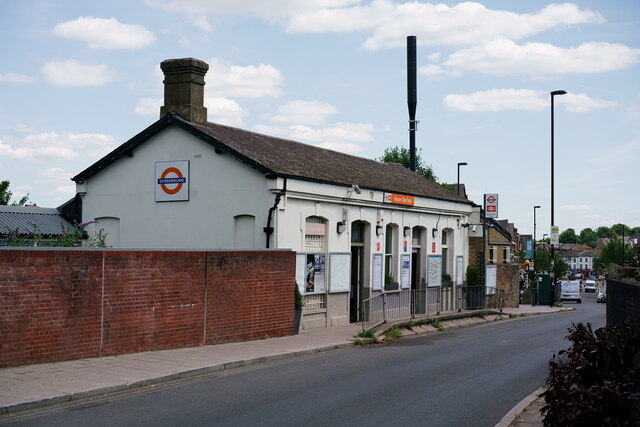
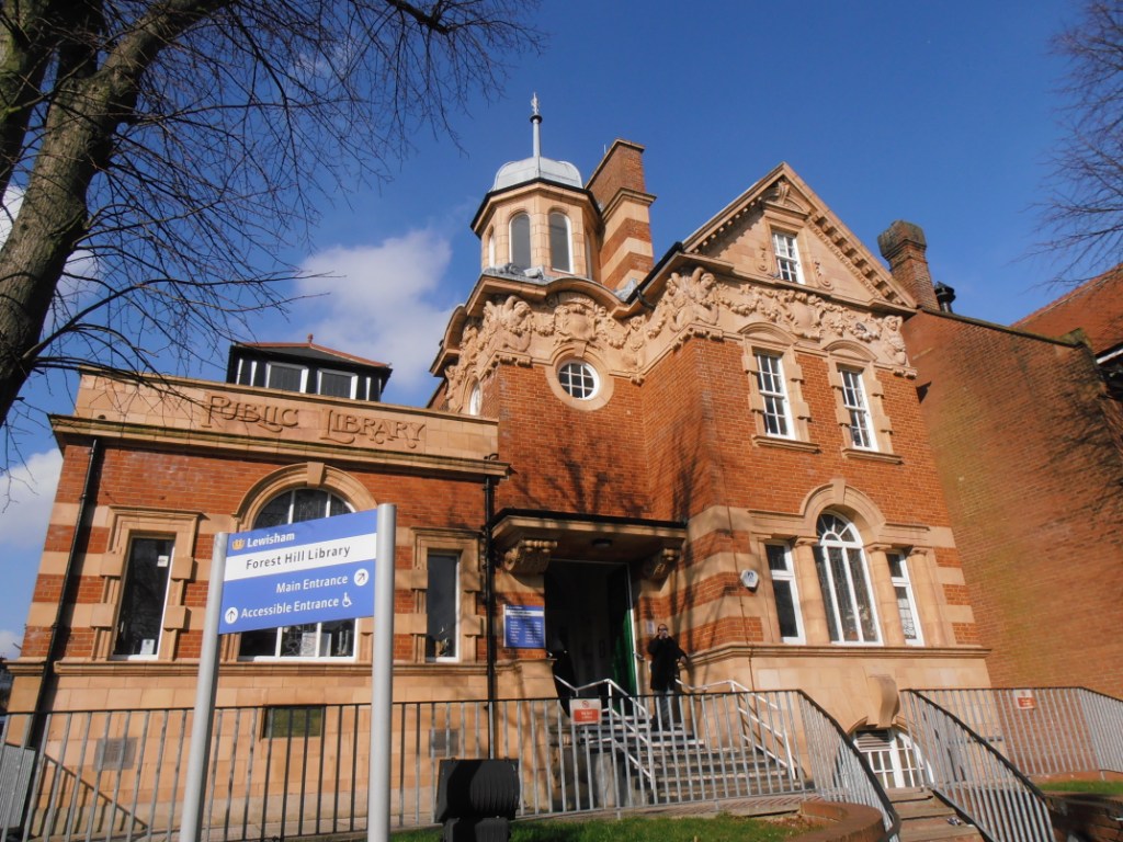
Forest Hill offers a variety of amenities and facilities, including a range of independent shops, cafes, and restaurants along Dartmouth Road and Honor Oak Park. The area boasts excellent transport links, with Forest Hill railway station providing connections to central London via the London Overground and Southern Railway services.
The district has a thriving community spirit, with several community groups and events organized throughout the year. The annual Forest Hill Arts Trail attracts visitors from across London, showcasing the talents of local artists and artisans.
Overall, Forest Hill offers residents a pleasant and vibrant suburban environment, combining the convenience of city living with the tranquility of green spaces and a strong sense of community.
If you have any feedback on the listing, please let us know in the comments section below.
Forest Hill Images
Images are sourced within 2km of 51.440142/-0.048924 or Grid Reference TQ3573. Thanks to Geograph Open Source API. All images are credited.


Forest Hill is located at Grid Ref: TQ3573 (Lat: 51.440142, Lng: -0.048924)
Unitary Authority: Lewisham
Police Authority: Metropolitan
What 3 Words
///loser.letter.city. Near Catford, London
Nearby Locations
Related Wikis
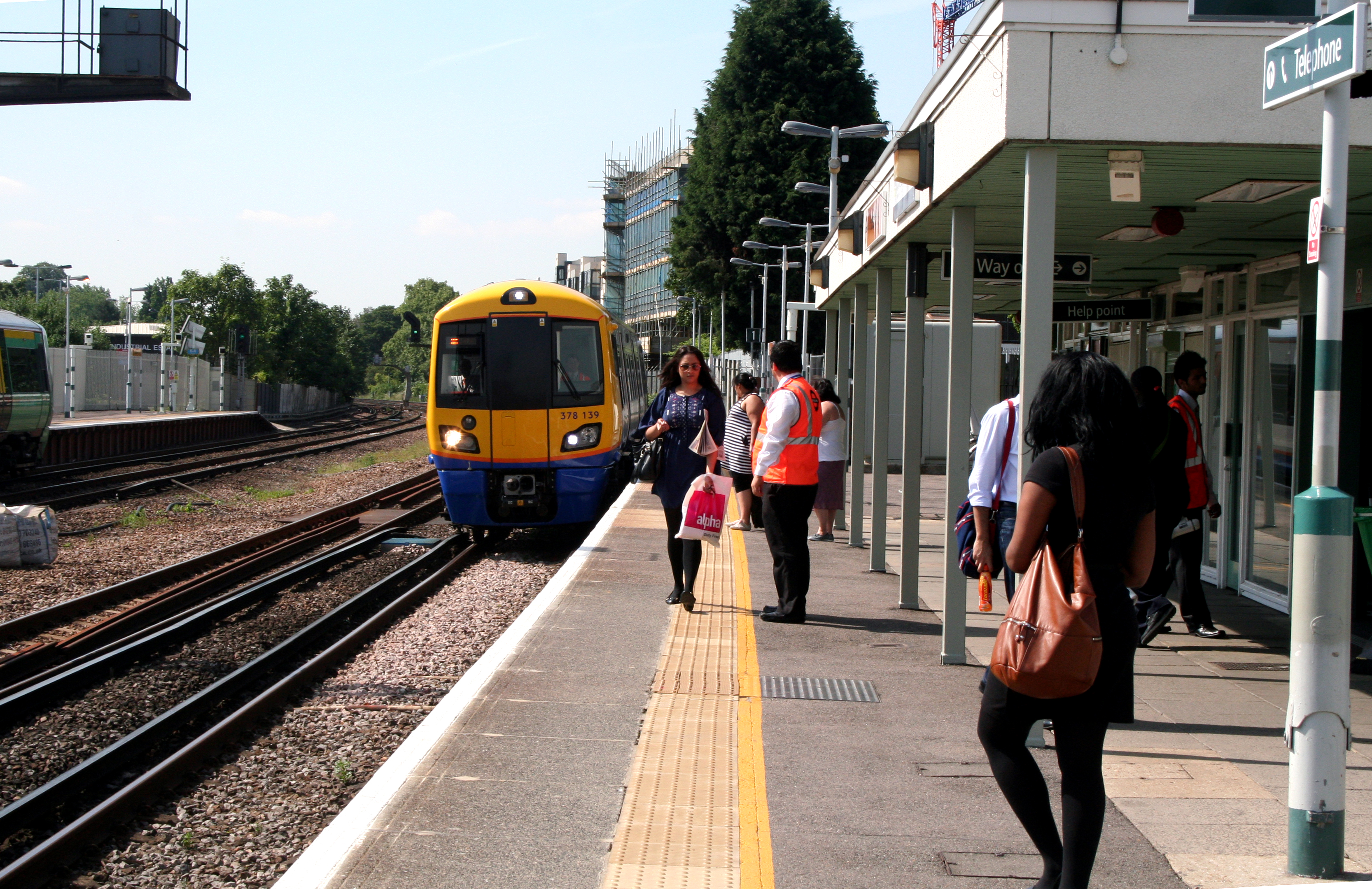
Forest Hill railway station
Forest Hill railway station serves Forest Hill in the London Borough of Lewisham, south London. The station adjoins a road which serves as part of the...
Forest Hill, London
Forest Hill is a district of the London Borough of Lewisham in south east London, England, on the South Circular Road, which is home to the Horniman Museum...
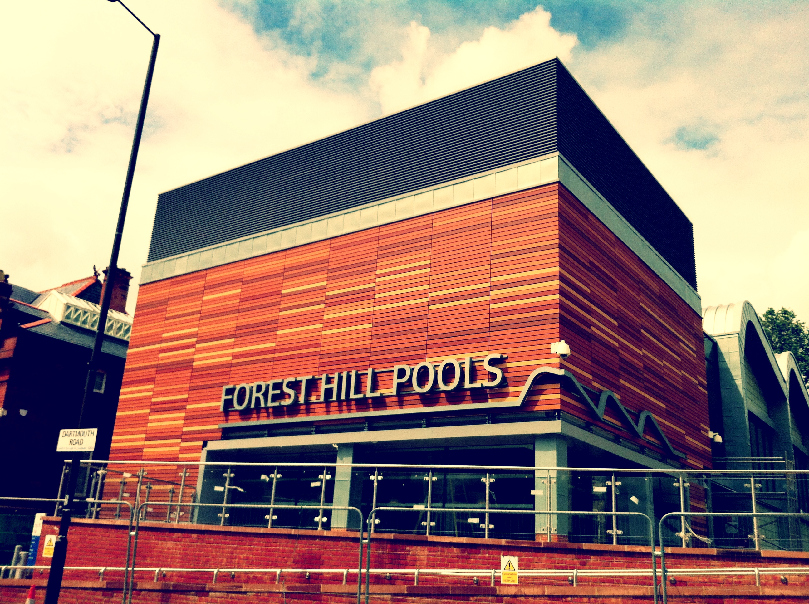
Forest Hill Pools
Forest Hill Pools is a leisure centre in Forest Hill, London. After being closed in 2006, it was rebuilt including two pools and a health and fitness suite...

Perry Vale
Perry Vale is a neighbourhood and electoral ward in the London Borough of Lewisham. It is 10.5 km (6.5 mi) southeast of Charing Cross and located near...
Nearby Amenities
Located within 500m of 51.440142,-0.048924Have you been to Forest Hill?
Leave your review of Forest Hill below (or comments, questions and feedback).