Beech Clump

Wood, Forest in Norfolk Breckland

England

Beech Clump

Telegraph pole on the Peddars Way The Peddars Way is a long distance footpath in Norfolk. It is 46 miles long and follows the route of a Roman road. It has been suggested by more than one writer that it was not created by the Romans but was an ancient trackway, a branch or extension of the Icknield Way, used and remodelled by the Romans. The name is said to be derived from the Latin pedester – on foot.  It starts at Knettishall Heath in Suffolk (near the Norfolk-Suffolk border, about 4 miles east of Thetford), and it links with the Norfolk Coast Path at Holme-next-the-Sea.
Combined with the Norfolk Coast Path, it forms the Peddars Way & Norfolk Coast Path National Trail, one of 15 National Trails in England and Wales, and the two paths together run for 97 miles.
Wikipedia: <span class="nowrap"><a title="http://en.wikipedia.org/wiki/Peddars_Way" rel="nofollow ugc noopener" href="http://en.wikipedia.org/wiki/Peddars_Way">Link</a><img style="margin-left:2px;" alt="External link" title="External link - shift click to open in new window" src="https://s1.geograph.org.uk/img/external.png" width="10" height="10"/></span>
Telegraph pole on the Peddars Way Credit: Basher Eyre

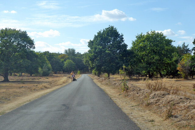
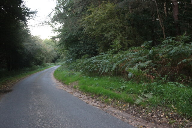
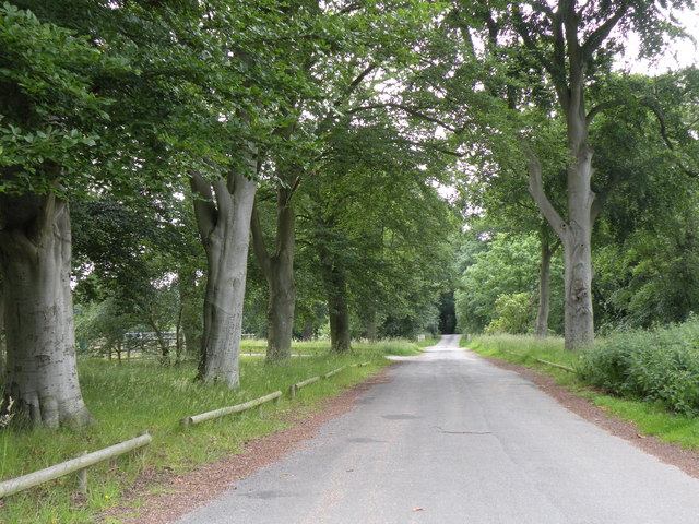
Beech Clump, located in Norfolk, England, is a stunning wood known for its dense canopy of beech trees. The forest covers an area of approximately 100 acres, making it a significant natural landmark in the region. Beech Clump is renowned for its picturesque scenery and tranquil atmosphere, attracting nature enthusiasts, hikers, and photographers alike.

The wood is characterized by its tall, slender beech trees that create a dense canopy overhead, allowing only dappled sunlight to filter through. This creates a unique and enchanting ambiance, especially during the golden hours of the day. The forest floor is covered with a thick layer of fallen leaves, providing a soft and cushioned path for visitors to explore.

The diversity of flora and fauna in Beech Clump is remarkable. In addition to the beech trees, the wood is home to a variety of other tree species such as oak, ash, and silver birch. This mix of trees provides a rich habitat for a wide range of wildlife, including birds, squirrels, and deer. Additionally, the forest floor is adorned with a carpet of wildflowers, including bluebells and primroses, which bloom in vibrant colors during the spring months.

Beech Clump offers several walking trails, allowing visitors to immerse themselves in nature while exploring the wood's hidden treasures. The peacefulness and tranquility of the forest make it an ideal place for nature lovers to escape the hustle and bustle of everyday life and reconnect with the natural world.

If you have any feedback on the listing, please let us know in the comments section below.
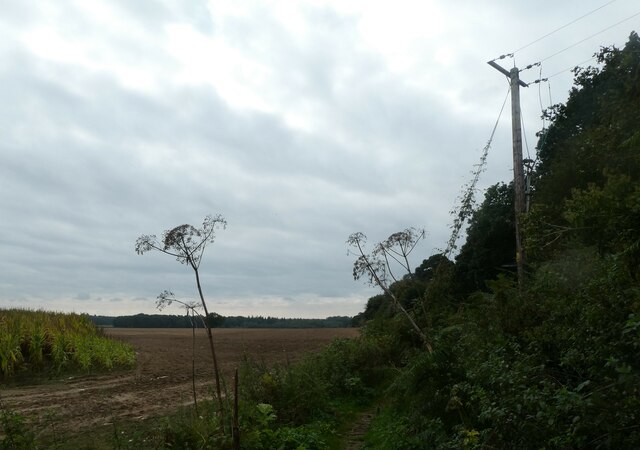
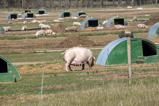
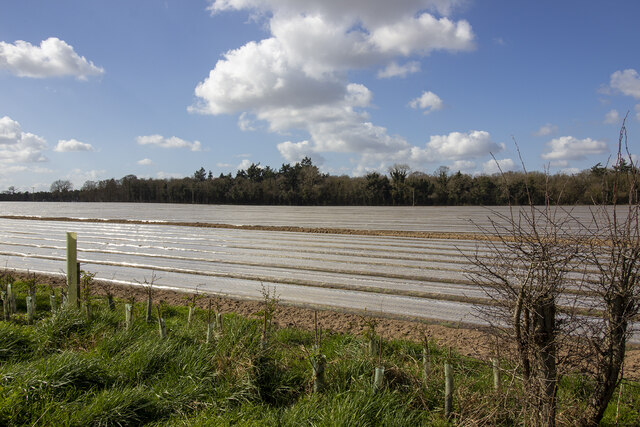
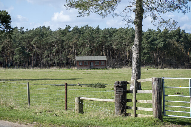
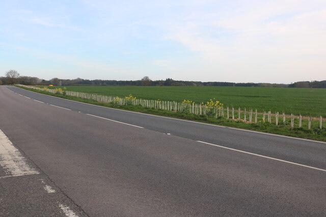
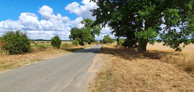
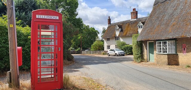
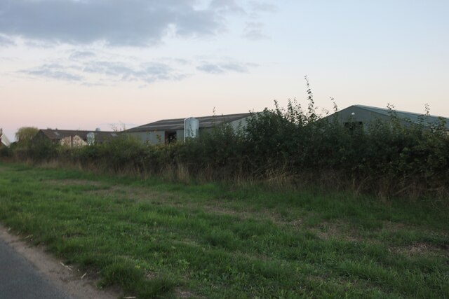
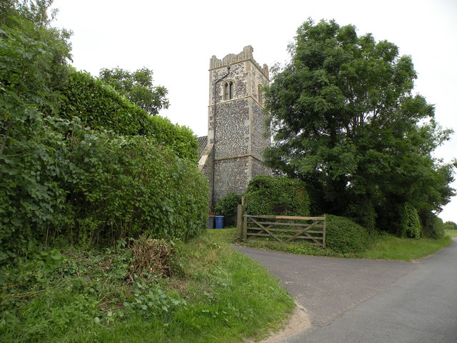
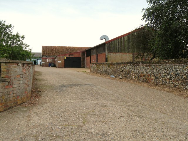
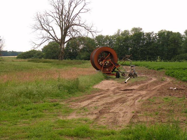
Beech Clump Images

Images are sourced within 2km of 52.400104/0.88363433 or Grid Reference TL9681. Thanks to Geograph Open Source API. All images are credited.

Telegraph pole on the Peddars Way The Peddars Way is a long distance footpath in Norfolk. It is 46 miles long and follows the route of a Roman road. It has been suggested by more than one writer that it was not created by the Romans but was an ancient trackway, a branch or extension of the Icknield Way, used and remodelled by the Romans. The name is said to be derived from the Latin pedester – on foot.  It starts at Knettishall Heath in Suffolk (near the Norfolk-Suffolk border, about 4 miles east of Thetford), and it links with the Norfolk Coast Path at Holme-next-the-Sea.
Combined with the Norfolk Coast Path, it forms the Peddars Way & Norfolk Coast Path National Trail, one of 15 National Trails in England and Wales, and the two paths together run for 97 miles.
Wikipedia: <span class="nowrap"><a title="http://en.wikipedia.org/wiki/Peddars_Way" rel="nofollow ugc noopener" href="http://en.wikipedia.org/wiki/Peddars_Way">Link</a><img style="margin-left:2px;" alt="External link" title="External link - shift click to open in new window" src="https://s1.geograph.org.uk/img/external.png" width="10" height="10"/></span>
Telegraph pole on the Peddars Way
The Peddars Way is a long distance footpath in Norfolk. It is 46 miles long and follows the route of a Roman road. It has been suggested by more than one writer that it was not created by the Romans but was an ancient trackway, a branch or extension of the Icknield Way, used and remodelled by the Romans. The name is said to be derived from the Latin pedester – on foot. It starts at Knettishall Heath in Suffolk (near the Norfolk-Suffolk border, about 4 miles east of Thetford), and it links with the Norfolk Coast Path at Holme-next-the-Sea. Combined with the Norfolk Coast Path, it forms the Peddars Way & Norfolk Coast Path National Trail, one of 15 National Trails in England and Wales, and the two paths together run for 97 miles. Wikipedia: LinkExternal link
Outdoor pig rearing Outdoor pig rearing off The Street
Outdoor pig rearing
Outdoor pig rearing off The Street
St. John's Covert
St. John's Covert
Pavilion at School Plantation
Dolphin Business Park on Thetford Road
Thetford Road between Shadwell and Riddlesworth
Home Farm, Riddlesworth
Road across Knettishall Heath Nature Reserve
Minor road from Gasthorpe
Red telephone box on The Street, Gasthorpe
Hall Farm, Knettishall
Norwich Lane, Knettishall On Knettishall Heath
Norwich Lane, Knettishall
On Knettishall Heath
A piggery near Gasthorpe
The tower of Knettishall church This used to be All Saints, the parish church of Knettishall.  During the early part of the 20th century it fell into disuse and dereliction and has since been converted into a private dwelling.
The tower of Knettishall church
This used to be All Saints, the parish church of Knettishall. During the early part of the 20th century it fell into disuse and dereliction and has since been converted into a private dwelling.
Part of Hall Farm
Part of Hall Farm
Farmland near Knettishall
Angles Way, by Knettishall Heath Country Park
Show me another place!

Beech Clump is located at Grid Ref: TL9681 (Lat: 52.400104, Lng: 0.88363433)

Administrative County: Norfolk

District: Breckland

Police Authority: Norfolk

What 3 Words

///intersect.plots.focus. Near East Harling, Norfolk

Related Wikis

Riddlesworth

Riddlesworth is a civil parish in the English county of Norfolk. It covers an area of 8.26 km2 (3.19 sq mi) and had a population of 147 in 48 households...

Riddlesworth Hall

Riddlesworth Hall is a country house, and was formerly used as a boarding school. It is located in Riddlesworth, Norfolk, England. == History == It was...

Roman Catholic Diocese of East Anglia

The Diocese of East Anglia (Latin: Dioecesis Angliae Orientalis) is a Latin diocese of the Catholic Church covering the counties of Cambridgeshire, Norfolk...

Knettishall Heath

Knettishall Heath is a 91.7-hectare (227-acre) biological Site of Special Scientific Interest west of Knettishall in Suffolk. A larger area of 176 hectares...

Nearby Amenities

Located within 500m of 52.400104,0.88363433
Home Farm, adj
Naptan AtcoCode: 2900R072
Naptan Bearing: W
Naptan BusStopType: CUS
Naptan CommonName: Home Farm
Naptan Indicator: adj
Naptan Landmark: Home Farm Cottages
Naptan Locality: Riddlesworth
Naptan NaptanCode: nfodpjgm
Naptan Street: Thetford Road
Naptan Verified: no
Source: naptan_import
Lat/Long: 52.4013017/0.8793863
Home Farm, opp
Naptan AtcoCode: 2900R075
Naptan Bearing: E
Naptan BusStopType: CUS
Naptan CommonName: Home Farm
Naptan Indicator: opp
Naptan Landmark: Home Farm Cottages
Naptan Locality: Riddlesworth
Naptan NaptanCode: nfodpjgt
Naptan ShortCommonName: A1066
Naptan Street: Thetford Road
Naptan Verified: no
Source: naptan_import
Lat/Long: 52.4013668/0.8797344
Hall Gates, opp
Naptan AtcoCode: 2900R076
Naptan Bearing: E
Naptan BusStopType: CUS
Naptan CommonName: Hall Gates
Naptan Indicator: opp
Naptan Landmark: The Lodge
Naptan Locality: Riddlesworth
Naptan NaptanCode: nfodpjgw
Naptan Street: Thetford Road
Naptan Verified: no
Source: naptan_import
Lat/Long: 52.4005867/0.8897461
Hall Gates, adj
Naptan AtcoCode: 2900R077
Naptan Bearing: W
Naptan BusStopType: CUS
Naptan CommonName: Hall Gates
Naptan Indicator: adj
Naptan Landmark: The Lodge
Naptan Locality: Riddlesworth
Naptan NaptanCode: nfodpjma
Naptan Street: Thetford Road
Naptan Verified: no
Source: naptan_import
Lat/Long: 52.400526/0.8892863
Post Box
Collection Times: Mo-Fr 09:00; Sa 09:30
Post Box Type: lamp
Ref: IP22 7175
Royal Cypher: EIIR
Royal Cypher Wikidata: Q33102113
Lat/Long: 52.4013896/0.8797189
Power: pole
Source: Bing
Lat/Long: 52.4024483/0.8897746
Power: pole
Source: Bing
Lat/Long: 52.4016023/0.8894084
The data included in this document is from www.openstreetmap.org. The data is made available under ODbL.

Have you been to Beech Clump?

Leave your review of Beech Clump below (or comments, questions and feedback).