Brickkiln Covert

Wood, Forest in Suffolk West Suffolk

England

Brickkiln Covert

Pavilion at School Plantation
Pavilion at School Plantation Credit: P Gaskell

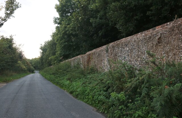
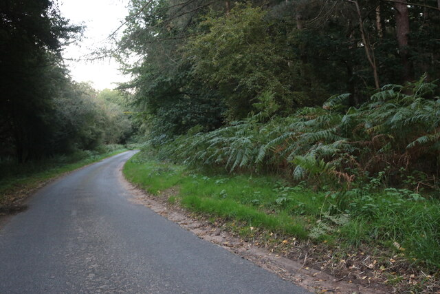
Brickkiln Covert is a picturesque woodland located in Suffolk, England. Spanning approximately 60 acres, this enchanting forest is nestled within the rural landscape, offering a tranquil retreat for nature enthusiasts and outdoor adventurers alike.

The woodland is predominantly composed of a variety of trees, including oak, beech, and birch, which create a dense and diverse canopy. The forest floor is adorned with a rich tapestry of wildflowers, creating a vibrant and colorful display throughout the seasons.

Visitors to Brickkiln Covert can enjoy a network of well-maintained footpaths that meander through the forest, allowing for leisurely walks and exploration. The paths are suitable for all ages and abilities, making it an ideal destination for families and nature lovers seeking a peaceful escape.

The woodland is home to a plethora of wildlife, providing an excellent opportunity for nature spotting. Squirrels can be seen darting between the trees, while birdwatchers may catch a glimpse of woodpeckers, owls, and various songbirds. The diverse ecosystem also supports a range of insects, butterflies, and small mammals.

Brickkiln Covert offers a sense of tranquility and serenity, with its secluded location providing a respite from the hustle and bustle of everyday life. The woodland is a conservation area, carefully managed to preserve its natural beauty and protect its inhabitants.

Overall, Brickkiln Covert is a hidden gem in Suffolk, offering a captivating woodland experience with its lush vegetation, well-maintained trails, and abundant wildlife. Whether one seeks solitude, a family outing, or an opportunity to immerse oneself in nature, this woodland provides a delightful escape into the great outdoors.

If you have any feedback on the listing, please let us know in the comments section below.

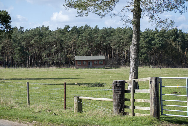
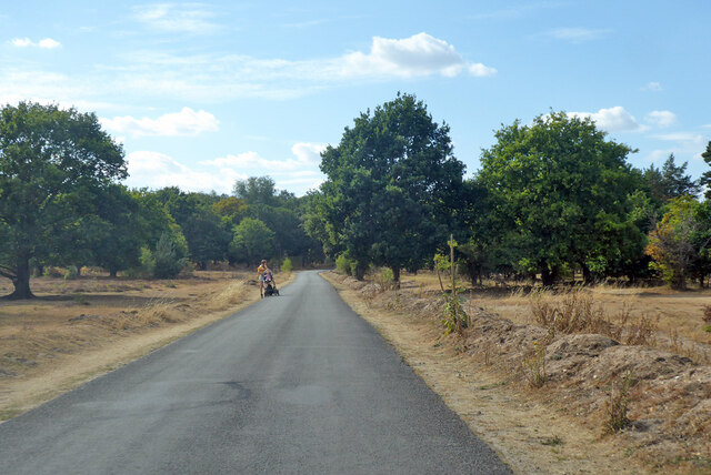
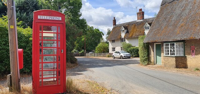
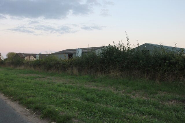
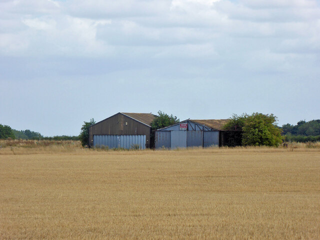
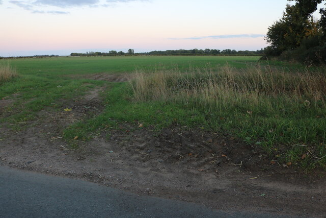
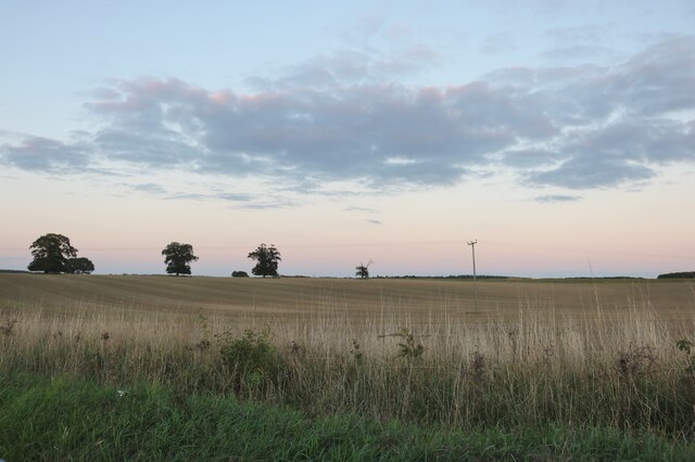
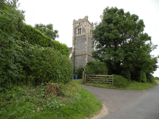
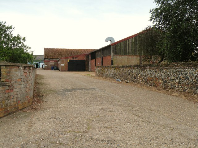
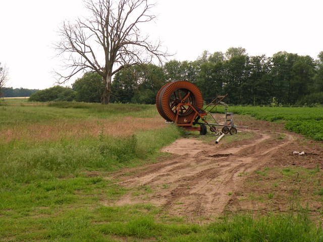
Brickkiln Covert Images

Images are sourced within 2km of 52.38453/0.88060527 or Grid Reference TL9680. Thanks to Geograph Open Source API. All images are credited.

Pavilion at School Plantation
Home Farm, Riddlesworth
Road across Knettishall Heath Nature Reserve
Red telephone box on The Street, Gasthorpe
Hall Farm, Knettishall
Nethergate Street, Knettishall
Norwich Lane, Knettishall On Knettishall Heath
Norwich Lane, Knettishall
On Knettishall Heath
Farm track near Broom Barn
Norwich Lane Certainly in the right direction, but Norwich is a long way off.
Norwich Lane
Certainly in the right direction, but Norwich is a long way off.
Hangars at Knettishall Airstrip or Coney Weston Airfield A sign says "Danger please keep off Active airstrip', the airstrip is beyond. A larger set of hangars and buildings is over to the left, not too involved in aviation apparently.
Hangars at Knettishall Airstrip or Coney Weston Airfield
A sign says "Danger please keep off Active airstrip', the airstrip is beyond. A larger set of hangars and buildings is over to the left, not too involved in aviation apparently.
Field by Norwich Lane, Coney Weston
A piggery near Gasthorpe
The tower of Knettishall church This used to be All Saints, the parish church of Knettishall.  During the early part of the 20th century it fell into disuse and dereliction and has since been converted into a private dwelling.
The tower of Knettishall church
This used to be All Saints, the parish church of Knettishall. During the early part of the 20th century it fell into disuse and dereliction and has since been converted into a private dwelling.
Part of Hall Farm
Part of Hall Farm
Farmland near Knettishall
Show me another place!

Brickkiln Covert is located at Grid Ref: TL9680 (Lat: 52.38453, Lng: 0.88060527)

Administrative County: Suffolk

District: West Suffolk

Police Authority: Suffolk

What 3 Words

///period.goose.sigh. Near East Harling, Norfolk

Nearby Locations

Brickkiln Covert

Related Wikis

Knettishall Heath

Knettishall Heath is a 91.7-hectare (227-acre) biological Site of Special Scientific Interest west of Knettishall in Suffolk. A larger area of 176 hectares...

Iceni Way

The Iceni Way is a collective name for several long-distance footpaths running from Knettishall Heath to Hunstanton via the Little Ouse and Great Ouse...

RAF Knettishall

Royal Air Force Knettishall or more simply RAF Knettishall is a former Royal Air Force station in Suffolk, England, UK. During the Second World War, it...

Riddlesworth Hall

Riddlesworth Hall is a country house, and was formerly used as a boarding school. It is located in Riddlesworth, Norfolk, England. == History == It was...

Nearby Amenities

Located within 500m of 52.38453,0.88060527
Barrier: bar
Colour: brown
Foot: yes
Material: wood
Lat/Long: 52.3883245/0.8795263
Barrier: bar
Colour: brown
Material: wood
Lat/Long: 52.3827913/0.8770032
Crossing
Crossing: unmarked
Lat/Long: 52.3827222/0.8769547
Bus Stop
Route Ref: CS191;CS194;SIM336
Lat/Long: 52.3827197/0.8770031
Bench
Backrest: yes
Colour: brown
Inscription: In memory of Brian Patrick Sharpe / 1930 ~ 2003 / Loving dad of Carol and family
Material: wood
Seats: 4
Lat/Long: 52.3861178/0.8785078
Barrier: kissing_gate
Lat/Long: 52.3868743/0.8791618
Fixme: incomplete
Lat/Long: 52.38768/0.8830521
Ford: yes
Lat/Long: 52.388302/0.8821428
Barrier: bar
Foot: yes
Material: wood
Lat/Long: 52.3846981/0.8760021
Barrier: bar
Colour: brown
Foot: yes
Material: wood
Lat/Long: 52.3846469/0.8758583
Crossing
Crossing: unmarked
Lat/Long: 52.3846717/0.875915
Crossing
Crossing: unmarked
Lat/Long: 52.3850434/0.8733328
Barrier: bar
Foot: yes
Lat/Long: 52.3857641/0.8754607
Crossing
Crossing: unmarked
Lat/Long: 52.3824889/0.8769806
Open Access
Description: Welcome to Open Access at Knettishall Heath
Dog Conditional: leashed @ (01 Mar-31 Jul)
Hiking: yes
Information: map
Inscription: This colourful and atmospheric site contains riverside meadows, heathland, grassland and mixed woodland that provide for a variety of wildlife. Also here are ancient trails, barrows and earthworks to stir the imagination as well as the senses.
Map Size: site
Map Type: street
Operator: Suffolk County Council;Natural England
Tourism: information
Website: https://www.discoversuffolk.org.uk/
Website 2: www.naturalengland.org.uk
Lat/Long: 52.3824809/0.8768412
Barrier: kissing_gate
Lat/Long: 52.3838106/0.874353
Barrier: kissing_gate
Colour: brown
Material: wood
Lat/Long: 52.3843121/0.875189
Bench
Backrest: yes
Colour: brown
Inscription: 'Jess' / A Border Collie
Material: wood
Seats: 1
Lat/Long: 52.3843271/0.8753109
Hazard: deep_water
Lat/Long: 52.3812265/0.8834408
Access: agricultural
Barrier: swing_gate
Colour: rust
Foot: permissive
Material: metal
Lat/Long: 52.3824618/0.877098
Archaeological Site: tumulus
Historic: archaeological_site
Lat/Long: 52.3851652/0.8811824
Barrier: kissing_gate
Colour: brown
Foot: yes
Material: wood
Lat/Long: 52.3860545/0.8783956
Fixme: incomplete
Lat/Long: 52.384966/0.8764628
Barrier: cattle_grid
Horse: no
Lat/Long: 52.3857077/0.8753728
Parking
Fee: no
Parking: surface
Lat/Long: 52.3825176/0.876899
Waste Basket
Colour: green
Inscription: Clean it up! No litter please
Material: metal
Waste: dog_excrement
Lat/Long: 52.382563/0.8768772
Knettishall Heath Nature Reserve
Board Type: nature
Description: Welcome to Knettishall Heath nature reserve. Knettishall Heath is a diverse mosaic of habitats with woodland, riverside meadows and large areas of heath which extended to 430 acres.
Information: board
Inscription: Peddars Way / Rushford / Skylark / Small copper / Icknield Way / Harebell / Wildlife trails / Heathland grazing enclosure
Material: wood
Operator: Suffolk Wildlife Trust
Tourism: information
Lat/Long: 52.3825371/0.8768584
Yellow Tree
Direction: NNW
Hiking: yes
Information: route_marker
Material: wood
Tourism: information
Lat/Long: 52.3851146/0.8732964
Yellow Tree
Direction: SW
Hiking: yes
Information: route_marker
Material: wood
Tourism: information
Lat/Long: 52.3846995/0.8758197
Yellow Tree
Direction: SW
Hiking: yes
Information: route_marker
Material: wood
Tourism: information
Lat/Long: 52.386001/0.8783825
Yellow Tree
Direction: E
Hiking: yes
Information: route_marker
Material: wood
Tourism: information
Lat/Long: 52.3868466/0.8792301
Knettishall Hall Farm Spur Links Pole
Material: wood
Pole Ref: 38
Power: pole
Ref: 139884
Lat/Long: 52.3869399/0.8794045
Material: wood
Power: pole
Ref: 139883
Lat/Long: 52.3877371/0.8791939
Power: pole
Ref: 139882
Lat/Long: 52.3884038/0.8790538
Yellow Tree
Direction: SW
Hiking: yes
Information: route_marker
Material: wood
Tourism: information
Lat/Long: 52.3880604/0.8795674
Board Type: notice
Colour: black
Colour Back: white
Email: knettishall@suffolkwildlifetrust.org
Information: board
Inscription: Path closed / Sorry temporary path closure
Phone: +44 7717 156601
Phone 2: +44 7721 111831
Tourism: information
Lat/Long: 52.3882266/0.8799463
Bench
Backrest: yes
Colour: brown
Inscription: Tash / Friends Are The Family We Choose Ourselves / Miss You Loads
Material: wood
Seats: 4
Lat/Long: 52.3864958/0.8801079
Yellow Tree
Direction: NE;S
Hiking: yes
Information: route_marker
Material: wood
Tourism: information
Lat/Long: 52.3862898/0.8795272
Power: pole
Lat/Long: 52.3870699/0.880558
Power: pole
Lat/Long: 52.3872216/0.8818665
Power: pole
Lat/Long: 52.3873659/0.8831173
ABSD Pole 1A Knettishall
Inscription: Auto Sectionaliser Pole 1A / Knettishall
Line Management: branch
Material: wood
Power: pole
Ref: 139886
Lat/Long: 52.3869296/0.8794239
Location Transition: yes
Material: wood
Power: pole
Ref: 139885
Lat/Long: 52.3861701/0.8795473
Yellow Tree
Direction: NE;W
Hiking: yes
Information: route_marker
Material: wood
Tourism: information
Lat/Long: 52.3861373/0.8792449
Knettishall Heath
Boundary: marker
Inscription: Welcome
Material: wood
Operator: Suffolk Wildlife Trust
Lat/Long: 52.3828132/0.8769771
Yellow Tree
Direction: N
Hiking: yes
Information: route_marker
Material: wood
Tourism: information
Lat/Long: 52.3827681/0.8770535
Colour: black
Colour Back: white
Destination: Riddlesworth;Knettishall;Rushford;Coney Weston;Bardwell;Sapiston;Honington;Gasthorpe;Hopton;East Harling
Distance: 1 mi;0.5 mi;2.5 mi;1.25 mi;4.25 mi;4.25 mi;5 mi;1.5 mi;2.75 mi;5 mi
Man Made: traffic_sign
Material: metal
Traffic Sign: directions
Lat/Long: 52.3827268/0.8770394
Yellow Tree
Direction: NE
Hiking: yes
Information: route_marker
Material: wood
Tourism: information
Lat/Long: 52.38255/0.8768718
Ʊ
Colour: brown
Direction: W
Hiking: yes
Information: route_marker
Material: wood
Tourism: information
Lat/Long: 52.3824841/0.8767779
Give Way
Lat/Long: 52.3825725/0.877024
Ʊ
Colour: brown
Direction: WNW;ESE
Hiking: yes
Information: route_marker
Material: wood
Note: Plus yellow arrow
Tourism: information
Lat/Long: 52.3827939/0.8744947
The data included in this document is from www.openstreetmap.org. The data is made available under ODbL.

Have you been to Brickkiln Covert?

Leave your review of Brickkiln Covert below (or comments, questions and feedback).