Forest Hill

Settlement in Oxfordshire South Oxfordshire

England

Forest Hill

Falling Apart Round The Edges Another of the wooden towers which are all along the Oxfordshire Way around the edge of Bernwood Forest. They are in various states of repair, with this one looking especially dodgy.
The bit in the distance where the forest curves off to the left is called Drunkard's Corner.
Falling Apart Round The Edges Credit: Des Blenkinsopp

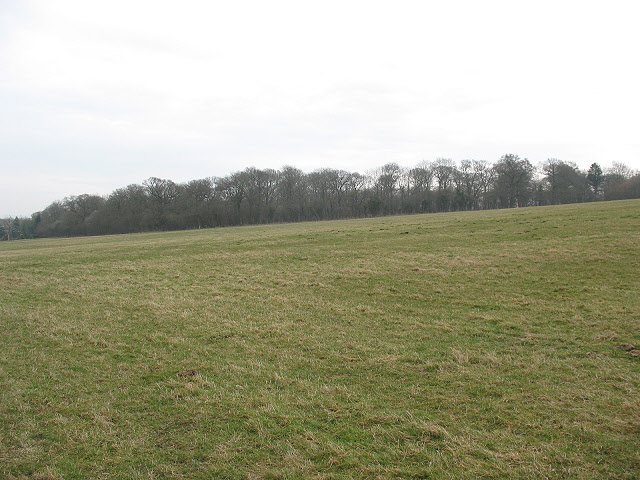
Forest Hill is a charming village located in the county of Oxfordshire, England. Situated approximately 6 miles southeast of the historic city of Oxford, Forest Hill offers a picturesque and idyllic setting for residents and visitors alike. The village is nestled within the beautiful countryside, surrounded by rolling hills and lush green fields.

With a population of around 500 inhabitants, Forest Hill maintains a close-knit community atmosphere. The village is mainly residential, consisting of traditional stone houses and cottages that exude a sense of rural charm. The architecture reflects the village's history, with some buildings dating back several centuries.

Despite its small size, Forest Hill offers a range of amenities to cater to the needs of its residents. The village boasts a well-regarded primary school, a village hall that serves as a hub for community events, and a local pub that provides a cozy gathering place for locals and visitors alike. Additionally, the nearby city of Oxford provides easy access to a wider range of shops, restaurants, and cultural attractions.

For nature enthusiasts, Forest Hill is a paradise. The village is surrounded by numerous footpaths and trails that allow residents and visitors to explore the stunning countryside. The nearby Shotover Country Park provides a vast expanse of woodland and meadows, offering ample opportunities for hiking, picnicking, and wildlife spotting.

Overall, Forest Hill presents a tranquil and picturesque retreat from the hustle and bustle of city life. Its rural charm, tight-knit community, and proximity to Oxford make it an attractive place to live or visit for those seeking a peaceful and scenic setting.

If you have any feedback on the listing, please let us know in the comments section below.
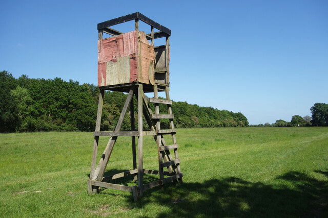
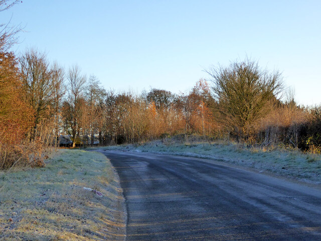
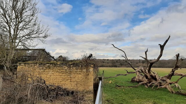
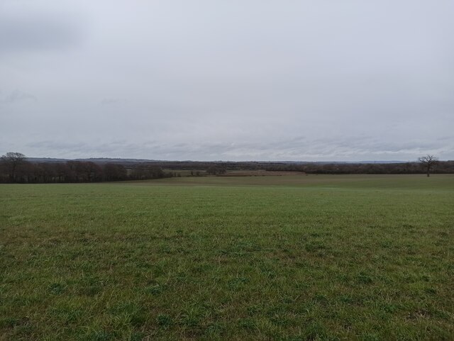
Forest Hill Images

Images are sourced within 2km of 51.766683/-1.1532866 or Grid Reference SP5807. Thanks to Geograph Open Source API. All images are credited.

Falling Apart Round The Edges Another of the wooden towers which are all along the Oxfordshire Way around the edge of Bernwood Forest. They are in various states of repair, with this one looking especially dodgy.
The bit in the distance where the forest curves off to the left is called Drunkard's Corner.
Falling Apart Round The Edges
Another of the wooden towers which are all along the Oxfordshire Way around the edge of Bernwood Forest. They are in various states of repair, with this one looking especially dodgy. The bit in the distance where the forest curves off to the left is called Drunkard's Corner.
End of road, Holton Adjacent to Old Park Farm.
End of road, Holton
Adjacent to Old Park Farm.
Pond Farm, Holton View of farmyard from road.
Pond Farm, Holton
View of farmyard from road.
Old post office, Holton The red brick building has a house name showing it used to be the post office. The road on the left is a cul-de-sac leading to farms.
Old post office, Holton
The red brick building has a house name showing it used to be the post office. The road on the left is a cul-de-sac leading to farms.
Thatched house in Holton I would call it a cottage, but it seems rather large for that appellation.
Thatched house in Holton
I would call it a cottage, but it seems rather large for that appellation.
Buildings at road fork at Pond Farm
Rural road by Pond Farm
Road to Holton
Road to Holton
Pipeline Marker at Pond Farm Showing the position of an oil pipeline.
Pipeline Marker at Pond Farm
Showing the position of an oil pipeline.
Road towards Stanton St John It does not appear to have a name.
Road towards Stanton St John
It does not appear to have a name.
Road junction off the A40 north of Wheatley
All that's left of Polecat End Hollows Derelict building and barn originally known as Polecat End Hollows.
All that's left of Polecat End Hollows
Derelict building and barn originally known as Polecat End Hollows.
Polecat End Hollows derelict barn The barn that was part of Polecat End Hollows
Polecat End Hollows derelict barn
The barn that was part of Polecat End Hollows
Hide on stilts by the Oxfordshire Way There are a number of these at intervals all along here. I guess they are for bird watching or something. This is one of the sturdier ones. Several of them look decidedly ricketty.
Hide on stilts by the Oxfordshire Way
There are a number of these at intervals all along here. I guess they are for bird watching or something. This is one of the sturdier ones. Several of them look decidedly ricketty.
Old Gate in the Hedge Beside the Oxfordshire Way. I think this old gate swung for the last time a good few years ago.
Old Gate in the Hedge
Beside the Oxfordshire Way. I think this old gate swung for the last time a good few years ago.
View from a Footbridge,  Polecat End The Oxfordshire Way goes through a crescent shaped meadow around the edge of the forest. Here it is joined by another path coming in from the south over a footbridge.
View from a Footbridge, Polecat End
The Oxfordshire Way goes through a crescent shaped meadow around the edge of the forest. Here it is joined by another path coming in from the south over a footbridge.
Pole in a Hole A marshy depression in the long curved strip of meadowland which skirts around the edge of Bernwood Forest. It looks like it might hold water in wet weather.
Pole in a Hole
A marshy depression in the long curved strip of meadowland which skirts around the edge of Bernwood Forest. It looks like it might hold water in wet weather.
Minchin Court Farm
Minchin Court Farm
Show me another place!

Forest Hill is located at Grid Ref: SP5807 (Lat: 51.766683, Lng: -1.1532866)

Administrative County: Oxfordshire

District: South Oxfordshire

Police Authority: Thames Valley

What 3 Words

///ruby.envy.tastes. Near Wheatley, Oxfordshire

Nearby Locations

Forest Hill Red Hill

Related Wikis

Forest Hill, Oxfordshire

Forest Hill is a village in the civil parish of Forest Hill with Shotover, in the South Oxfordshire district, in Oxfordshire, England, about 4.5 miles...

Shotover Park

Shotover Park (also called Shotover House) is an 18th-century country house and park near Wheatley, Oxfordshire, England. The house, garden and parkland...

Lyehill Quarry

Lyehill Quarry is a 2.8-hectare (6.9-acre) geological Site of Special Scientific Interest east of Oxford in Oxfordshire. It is a Geological Conservation...

Forest Hill with Shotover

Forest Hill with Shotover is a civil parish covering 7.56 kmĀ² of South Oxfordshire approximately centred 3 miles (4.8 km) east of Oxford. Its population...

Stanton Great Wood

Stanton Great Wood is a 58.2-hectare (144-acre) biological Site of Special Scientific Interest north-east of Oxford in Oxfordshire.This coppice with standards...

Stanton St. John

Stanton St. John is a village and civil parish in Oxfordshire about 4.5 miles (7 km) northeast of the centre of Oxford. The village is 330 feet (100 m...

Holton Wood

Holton Wood is a 50.6-hectare (125-acre) biological Site of Special Scientific Interest east of Oxford in Oxfordshire.This ancient wood was formerly part...

Holton, Oxfordshire

Holton is a village and civil parish in South Oxfordshire about 5.5 miles (9 km) east of Oxford. The parish is bounded to the southeast by the River Thame...

Related Videos

Clouds touching mountains

travel #traveldiaries #travelwithdenu #nature #viralshort #shortvideo #shorts #viral #viralshorts #mountains #mountainscenery ...

Blenheim Palace II @BossAquil85 @EDWARDLACSINA @sarilingtsanel7276

BLENHEIM PALACE ESCAPADE PART II HELLO GUY WELCOME TO MY CHANNEL (JM OF UK) Today's video we will see one ...

Wheatley Windmill | Walking to Wheatley windmill | Oxfordshire

Wheatley Windmill is an 18th-century tower mill at grid reference SP 589 053 between the hamlet of Littleworth and Wheatley in ...

Nearby Amenities

Located within 500m of 51.766683,-1.1532866
Forest Hill
Is In: Oxfordshire, England, UK
Place: hamlet
Wikidata: Q5468919
Lat/Long: 51.7656153/-1.1536695
Turning Circle
Turning Circle: circle
Lat/Long: 51.7668964/-1.1556923
Leisure: playground
Source: photograph
Lat/Long: 51.7684853/-1.1561752
Disused: yes
Disused Amenity: pub
Note: King's Arms Pub: closed at 29.01.12
Old Name: King's Arms
Source: gps_survey;photograph
Source Name: photograph
Wikidata: Q26299768
Lat/Long: 51.7666134/-1.1531818
Post Box
Collection Times: Mo-Fr 16:45; Sa 09:30
Post Box Type: wall
Ref: OX33 277
Royal Cypher: GR
Royal Cypher Wikidata: Q33102273
Source: gps_survey;photograph
Lat/Long: 51.7665211/-1.1534491
Source: gps_survey;photograph
Lat/Long: 51.7634286/-1.1570631
Post Box
Collection Times: Mo-Fr 09:00; Sa 19:00
Post Box Type: wall
Ref: OX33 161
Royal Cypher: EVIIR
Royal Cypher Wikidata: Q33102324
Source: gps_survey;photograph
Lat/Long: 51.7634223/-1.157148
Historic: memorial
Note: WW1
Lat/Long: 51.7641726/-1.1566973
Telephone
Booth: KX300
Covered: booth
Payment Coins: no
Phone: +44 1865 873599
Source: photograph
Lat/Long: 51.7667937/-1.1528939
Pub
The White Horse
Source: photograph
Wikidata: Q26299727
Lat/Long: 51.7669566/-1.1524706
Parking
Source: local_knowledge
Lat/Long: 51.7669142/-1.152289
Barrier: stile
Lat/Long: 51.7623381/-1.1524182
Barrier: stile
Lat/Long: 51.7708628/-1.1524963
Barrier: kissing_gate
Lat/Long: 51.7675409/-1.1514407
Barrier: kissing_gate
Lat/Long: 51.7690441/-1.1517668
Bus Stop
Mickle Way
Bench: no
Bin: yes
Bus: yes
Naptan AtcoCode: 340000320CNR
Naptan Bearing: NW
Naptan CommonName: Mickle Way
Naptan Indicator: Corner
Naptan Landmark: Mickle Way
Naptan NaptanCode: oxfamajp
Naptan Street: Stanton Road
Naptan Verified: no
Public Transport: platform
Shelter: no
Source: naptan_import
Tactile Paving: no
Lat/Long: 51.7673278/-1.1544719
Mickle Way
Naptan AtcoCode: 340000320OPP
Naptan Bearing: SE
Naptan BusStopType: CUS
Naptan CommonName: Mickle Way
Naptan Indicator: Opposite
Naptan Landmark: Mickle Way
Naptan NaptanCode: oxfatpat
Naptan Street: Stanton Road
Naptan Verified: no
Source: naptan_import
Lat/Long: 51.7673089/-1.1543418
Bus Stop
Powell Close
Bus: yes
Naptan AtcoCode: 340001852OUT
Naptan Bearing: SE
Naptan CommonName: Powell Close
Naptan Indicator: Outside Vent Farm
Naptan Landmark: Powell Close
Naptan NaptanCode: oxfgjapd
Naptan Street: Wheatley Road
Naptan Verified: no
Public Transport: platform
Source: naptan_import
Lat/Long: 51.7660718/-1.1511188
Bus Stop
Powell Close
Bus: yes
Naptan AtcoCode: 340001852POC
Naptan Bearing: NW
Naptan CommonName: Powell Close
Naptan Indicator: Corner
Naptan Landmark: Powell Close
Naptan NaptanCode: oxfatjpj
Naptan Street: Wheatley Road
Naptan Verified: no
Public Transport: platform
Source: naptan_import
Lat/Long: 51.7656841/-1.1509667
Direction: forward
Traffic Calming: chicane
Lat/Long: 51.7663528/-1.1540948
Bench
Backrest: yes
Lat/Long: 51.7667767/-1.1532896
Barrier: chicane
Lat/Long: 51.7664288/-1.1527668
Barrier: kissing_gate
Lat/Long: 51.764654/-1.1508124
Barrier: kissing_gate
Lat/Long: 51.7642249/-1.1500815
Barrier: kissing_gate
Lat/Long: 51.7635318/-1.1481476
Give Way
Lat/Long: 51.7666364/-1.1533153
Power: pole
Lat/Long: 51.7649447/-1.1584631
Power: pole
Lat/Long: 51.7650177/-1.1593509
Direction: 145
Generator Method: photovoltaic
Generator Output Electricity: yes
Generator Solar Modules: 12
Generator Source: solar
Generator Type: solar_photovoltaic_panel
Location: roof
Power: generator
Lat/Long: 51.7663796/-1.1525202
Direction: 180
Generator Method: photovoltaic
Generator Output Electricity: yes
Generator Solar Modules: 12
Generator Source: solar
Generator Type: solar_photovoltaic_panel
Location: roof
Power: generator
Lat/Long: 51.766216/-1.1524127
Direction: 145
Generator Method: photovoltaic
Generator Output Electricity: yes
Generator Solar Modules: 14
Generator Source: solar
Generator Type: solar_photovoltaic_panel
Location: roof
Power: generator
Lat/Long: 51.7662237/-1.1519907
Crossing
Lat/Long: 51.7679978/-1.1553877
Natural: spring
Lat/Long: 51.7703412/-1.1547996
The data included in this document is from www.openstreetmap.org. The data is made available under ODbL.

Have you been to Forest Hill?

Leave your review of Forest Hill below (or comments, questions and feedback).