Ash Plantation

Wood, Forest in Kent Ashford

England

Ash Plantation

Forstal Farmhouse
Forstal Farmhouse Credit: N Chadwick

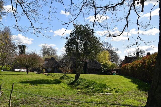
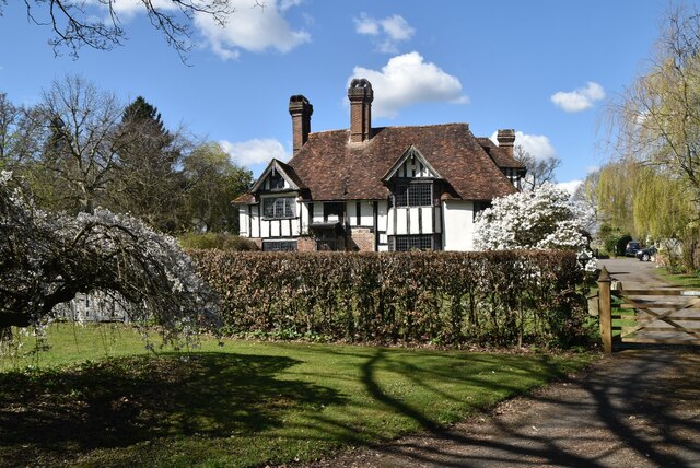
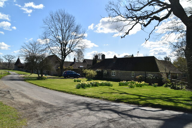
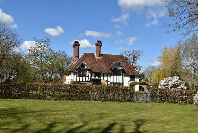
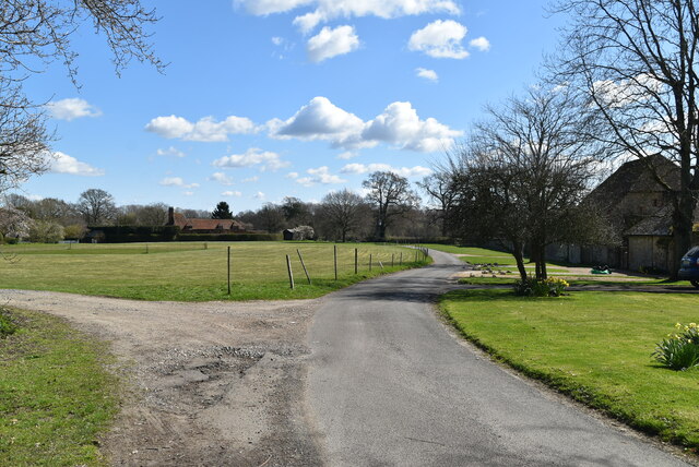
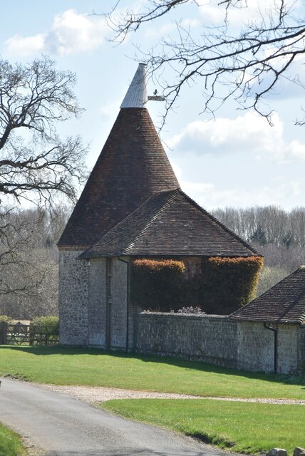
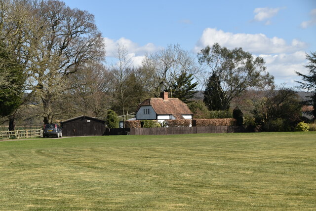
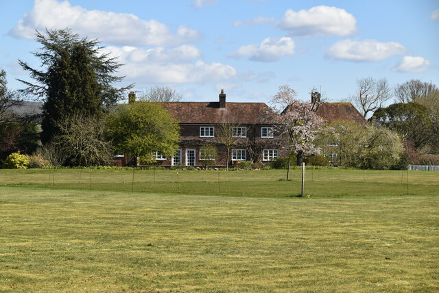
Ash Plantation is a picturesque woodland located in Kent, a county in Southeast England. Situated near the charming village of Ash, the plantation covers an area of approximately 100 hectares and is a popular destination for nature enthusiasts and hikers alike.

The plantation is predominantly composed of ash trees, hence its name, which provide a dense canopy and create a tranquil atmosphere. These trees, known for their tall and slender appearance, form an enchanting landscape that changes dramatically throughout the seasons. In spring, the plantation is adorned with delicate blossoms and vibrant green leaves, while autumn brings a kaleidoscope of fiery red and golden hues.

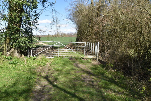
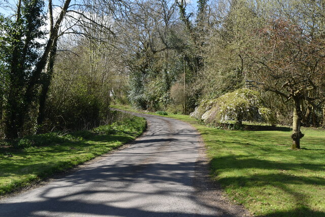
Ash Plantation offers a network of well-maintained trails that wind their way through the woodland, allowing visitors to explore its diverse flora and fauna. The pathways are suitable for all levels of fitness, making it accessible to both casual strollers and avid hikers. Along the trails, one can discover an array of wildflowers, ferns, and mosses, adding to the area's natural beauty.

The plantation is also home to a variety of wildlife, including deer, foxes, and a plethora of bird species. Birdwatchers will delight in the opportunity to spot rare and migratory birds, while nature lovers can seek solace in the peaceful ambiance of the woodland.

Ash Plantation, with its idyllic setting and abundant natural treasures, is a cherished destination for locals and visitors seeking a tranquil escape from the bustling city. Whether one is looking for a leisurely walk or a deeper connection with nature, this enchanting woodland offers a truly immersive experience in the heart of Kent.

If you have any feedback on the listing, please let us know in the comments section below.

Ash Plantation Images

Images are sourced within 2km of 51.16397/0.80281498 or Grid Reference TQ9644. Thanks to Geograph Open Source API. All images are credited.

Forstal Farmhouse
Forstal Farmhouse
Footpath near Forstal Farm
Gated footpath
Gated footpath
Thatch
Thatch
Eutrophic pond Eutrophication is an enrichment of a water body by minerals and nutrients that lead to a reduction in water quality, especially a reduction in oxygen content. Although it can be a natural process most modern eutrophication is caused by human activity, especially the use of nitrates and phosphates. A eutrophic water body is characterised by a surface green algal bloom.
Wikipedia: <span class="nowrap"><a title="https://en.wikipedia.org/wiki/Eutrophication" rel="nofollow ugc noopener" href="https://en.wikipedia.org/wiki/Eutrophication">Link</a><img style="margin-left:2px;" alt="External link" title="External link - shift click to open in new window" src="https://s1.geograph.org.uk/img/external.png" width="10" height="10"/></span>
Eutrophic pond
Eutrophication is an enrichment of a water body by minerals and nutrients that lead to a reduction in water quality, especially a reduction in oxygen content. Although it can be a natural process most modern eutrophication is caused by human activity, especially the use of nitrates and phosphates. A eutrophic water body is characterised by a surface green algal bloom. Wikipedia: LinkExternal link
Forstal Farmhouse Grade II listed.
Forstal Farmhouse
Grade II listed.
Little Chart Forstal
Forstal Farmhouse Grade II listed.
Forstal Farmhouse
Grade II listed.
Ram Lane
Ram Lane
Ram Lane
Ram Lane
Coldham Oast Well converted single round kiln oast house. Ragstone walls.

Grade II listed.
Coldham Oast
Well converted single round kiln oast house. Ragstone walls. Grade II listed.
Pavilion, Little Chart Forstal
The Outlook Cottage
The Outlook Cottage
Forstall Cottages Listed buildings and structures are officially designated as being of special architectural, historical or cultural significance. There are over half a million listed structures in the United Kingdom, covered by around 375,000 listings.
Listed status is more commonly associated with buildings or groups of buildings, however it can cover many other structures, including bridges, headstones, steps, ponds, monuments, walls, phone boxes, wrecks, parks, and heritage sites, and in more recent times a road crossing (Abbey Road) and graffiti art (Banksy 'Spy-booth') have been included.

In England and Wales there are three main listing designations;
Grade I (2.5%) - exceptional interest, sometimes considered to be internationally important.
Grade II* (5.5%) - particularly important buildings of more than special interest. 
Grade II (92%) - nationally important and of special interest. 

There are also locally listed structures (at the discretion of local authorities) using A, B and C designations.

In Scotland three classifications are also used but the criteria are different. There are around 47,500 Listed buildings.
Category A (8%)- generally equivalent to Grade I and II* in England and Wales
Category B (51%)- this appears generally to cover the ground of Grade II, recognising national importance.
Category C (41%)- buildings of local importance, probably with some overlap with English Grade II.

In Northern Ireland the criteria are similar to Scotland, but the classifications are:
Grade A (2.3%)
Grade B+ (4.7%)
Grade B (93%)

Read more at Wikipedia <span class="nowrap"><a title="http://en.wikipedia.org/wiki/Listed_building" rel="nofollow ugc noopener" href="http://en.wikipedia.org/wiki/Listed_building">Link</a><img style="margin-left:2px;" alt="External link" title="External link - shift click to open in new window" src="https://s1.geograph.org.uk/img/external.png" width="10" height="10"/></span>
Forstall Cottages
Listed buildings and structures are officially designated as being of special architectural, historical or cultural significance. There are over half a million listed structures in the United Kingdom, covered by around 375,000 listings. Listed status is more commonly associated with buildings or groups of buildings, however it can cover many other structures, including bridges, headstones, steps, ponds, monuments, walls, phone boxes, wrecks, parks, and heritage sites, and in more recent times a road crossing (Abbey Road) and graffiti art (Banksy 'Spy-booth') have been included. In England and Wales there are three main listing designations; Grade I (2.5%) - exceptional interest, sometimes considered to be internationally important. Grade II* (5.5%) - particularly important buildings of more than special interest. Grade II (92%) - nationally important and of special interest. There are also locally listed structures (at the discretion of local authorities) using A, B and C designations. In Scotland three classifications are also used but the criteria are different. There are around 47,500 Listed buildings. Category A (8%)- generally equivalent to Grade I and II* in England and Wales Category B (51%)- this appears generally to cover the ground of Grade II, recognising national importance. Category C (41%)- buildings of local importance, probably with some overlap with English Grade II. In Northern Ireland the criteria are similar to Scotland, but the classifications are: Grade A (2.3%) Grade B+ (4.7%) Grade B (93%) Read more at Wikipedia LinkExternal link
Barn near Coldham House Grade II listed.
Barn near Coldham House
Grade II listed.
Coldham Oast
Coldham Oast
Cottages, Little Chart Forstal
Barn, Little Chart Forstal
Show me another place!

Ash Plantation is located at Grid Ref: TQ9644 (Lat: 51.16397, Lng: 0.80281498)

Administrative County: Kent

District: Ashford

Police Authority: Kent

What 3 Words

///sleepy.otherwise.fuels. Near Charing, Kent

Related Wikis

Hothfield

Hothfield is a village and civil parish in the Ashford Borough of Kent, England and is 3 miles north-west of Ashford on the A20. It is completely split...

Hothfield Common

Hothfield Common is a 56.5-hectare (140-acre) biological Site of Special Scientific Interest north-east of Ashford in Kent. It is also a Local Nature...

Hoad's Wood

Hoad's Wood is an 80.5-hectare (199-acre) biological Site of Special Scientific Interest west of Ashford in Kent.Natural England described the woodland...

Godinton House

Godinton House (also known as Godinton House and Gardens or Godinton Park) is a stately home in the parish of Great Chart, owned by a non-profit-making...

Little Chart

Little Chart is a village and civil parish, situated 4 miles (6.4 km) north-west of Ashford in Kent, South East England. The parish lies south of the M20...

Hothfield railway station

Hothfield railway station (later Hothfield Halt) was a railway station on the Maidstone Line at Hothfield, Kent. It was situated between Ashford and Charing...

Godinton

Godinton (sometimes known as Godinton Park) is a suburb of Ashford, Kent in England, with its stately home Godinton House within its outskirts. Godinton...

Westwell Leacon

Westwell Leacon is a hamlet in the civil parish of Charing near Ashford in Kent, England. Its most famous resident is international Cyclocross star Ian...

Related Videos

A JOURNEY TO COUNTRYSIDE

A journey to countryside with friends after a long time since the lockdown. It was full of positive vides and full of energy. We shared ...

Willow Bushcraft Family Day Out

We visited Willow Bush Camp in the March Wood in Ashford! We do not own the rights to the music, that goes to the wonderful ...

spring blossoms at Godinton, Ashford Kent

At Godinton house and garden, Ashford. To see the rest of my videos, visit the link below: ...

Godinton House and Gardens

For more information visit https://godintonhouse.co.uk/ Music: "Dron Drone Musical 2" by SFX Producer "Sea of Space" by Yi ...

Nearby Amenities

Located within 500m of 51.16397,0.80281498
Power: pole
Lat/Long: 51.1657415/0.796946
Power: pole
Lat/Long: 51.1651562/0.7978311
Power: pole
Lat/Long: 51.1644128/0.7988208
Power: pole
Lat/Long: 51.1637097/0.7998133
Power: pole
Lat/Long: 51.1629881/0.8007842
Power: pole
Lat/Long: 51.1623944/0.8015808
Power: pole
Lat/Long: 51.1617888/0.8024016
Power: pole
Lat/Long: 51.1614204/0.803791
Power: pole
Lat/Long: 51.1610722/0.8051187
Power: pole
Lat/Long: 51.1607055/0.8066127
Noexit: yes
Lat/Long: 51.1632609/0.8077543
Noexit: yes
Lat/Long: 51.1632578/0.8076914
The data included in this document is from www.openstreetmap.org. The data is made available under ODbL.

Have you been to Ash Plantation?

Leave your review of Ash Plantation below (or comments, questions and feedback).