Bull's Wood

Wood, Forest in Suffolk Babergh

England

Bull's Wood

Chapel of St James, Lindsey <span class="nowrap"><a title="https://historicengland.org.uk/listing/the-list/list-entry/1351517?section=official-list-entry" rel="nofollow ugc noopener" href="https://historicengland.org.uk/listing/the-list/list-entry/1351517?section=official-list-entry">Link</a><img style="margin-left:2px;" alt="External link" title="External link - shift click to open in new window" src="https://s1.geograph.org.uk/img/external.png" width="10" height="10"/></span>
Chapel of St James, Lindsey Credit: Sandy Gerrard

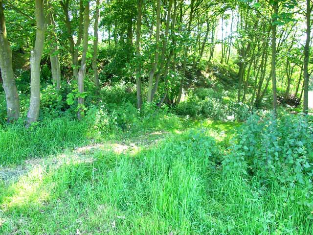
Bull's Wood is a picturesque woodland located in the county of Suffolk, England. Situated near the village of Bull's Green, it covers an area of approximately 50 hectares and is known for its diverse range of flora and fauna.

The woodland is predominantly made up of deciduous trees, including oak, beech, and birch, which create a beautiful canopy during the spring and summer months. The forest floor is covered in a carpet of wildflowers such as bluebells and primroses, adding to the natural charm of Bull's Wood.

The area is a haven for wildlife, providing a habitat for a variety of species. Visitors may be lucky enough to spot deer, squirrels, and a wide range of bird species, including woodpeckers and owls. The woodland is also home to several badger setts and fox dens.

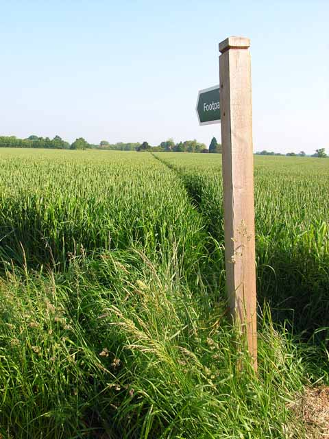
Bull's Wood has several walking trails that wind through the forest, allowing visitors to explore its natural beauty. These trails are well-maintained and suitable for all ages and fitness levels. Along the way, walkers can enjoy the peaceful atmosphere and take in the sights and sounds of the woodland.

The wood is a popular destination for nature enthusiasts, photographers, and those seeking a tranquil escape from the hustle and bustle of city life. It offers a perfect opportunity to connect with nature and enjoy the beauty of the Suffolk countryside. Whether it's a leisurely stroll or a more adventurous hike, Bull's Wood is a hidden gem that showcases the natural wonders of Suffolk.

If you have any feedback on the listing, please let us know in the comments section below.
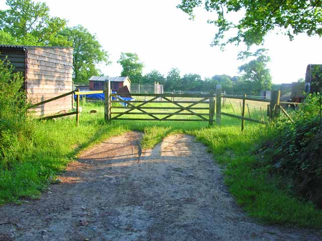
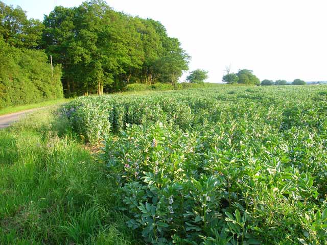
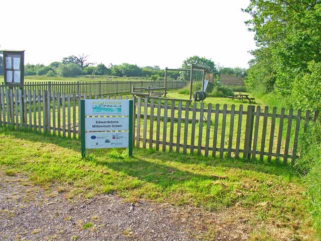
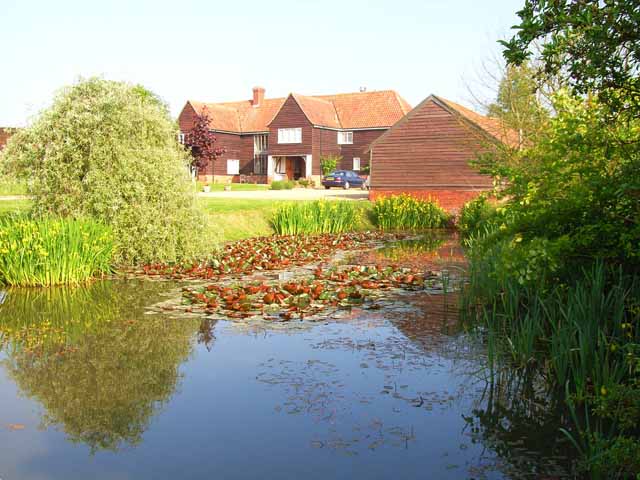
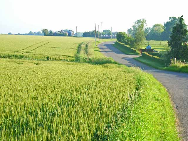
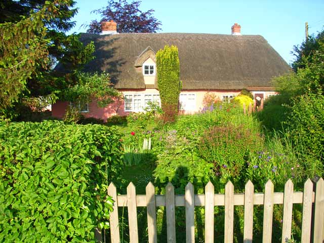
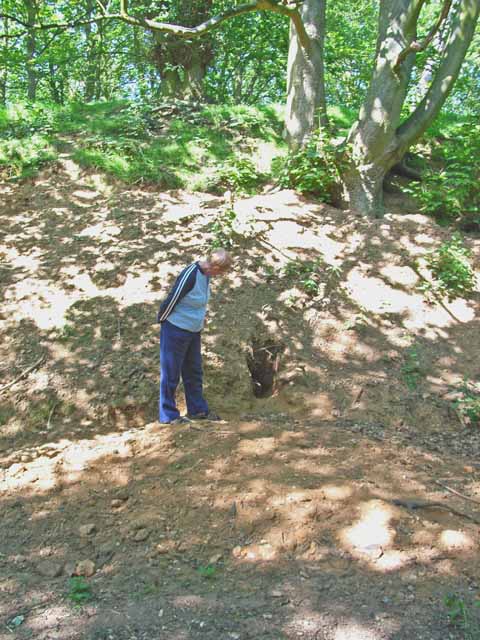
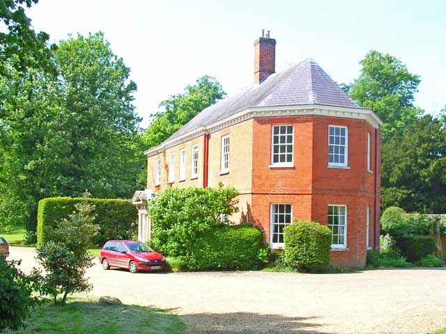
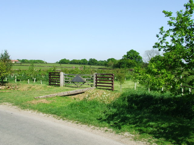
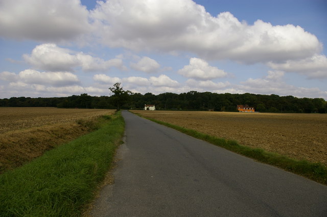
Bull's Wood Images

Images are sourced within 2km of 52.062125/0.85582024 or Grid Reference TL9544. Thanks to Geograph Open Source API. All images are credited.

Chapel of St James, Lindsey <span class="nowrap"><a title="https://historicengland.org.uk/listing/the-list/list-entry/1351517?section=official-list-entry" rel="nofollow ugc noopener" href="https://historicengland.org.uk/listing/the-list/list-entry/1351517?section=official-list-entry">Link</a><img style="margin-left:2px;" alt="External link" title="External link - shift click to open in new window" src="https://s1.geograph.org.uk/img/external.png" width="10" height="10"/></span>
Chapel of St James, Lindsey
Edwardstone village sign Suffolk has 400 villages and towns with village or town signs, give or take one or two. 
The tradition of village signs is believed to have started in Norfolk early in the 20th century when Edward VII suggested that village signs would aid motorists and give a feature of interest on the Sandringham Estate.
Many of the signs  were made by Harry Carter, an art and woodwork master at Hamond’s Grammar School, in Swaffham.
Many have now been replaced with fibreglass or modern plastics. The story behind the sign is given as accurately as possible.
Edwardstone village sign
Suffolk has 400 villages and towns with village or town signs, give or take one or two. The tradition of village signs is believed to have started in Norfolk early in the 20th century when Edward VII suggested that village signs would aid motorists and give a feature of interest on the Sandringham Estate. Many of the signs were made by Harry Carter, an art and woodwork master at Hamond’s Grammar School, in Swaffham. Many have now been replaced with fibreglass or modern plastics. The story behind the sign is given as accurately as possible.
Paddock near Groton Various sheds dotted around.
Paddock near Groton
Various sheds dotted around.
Beanfield at Castling's Heath, near Groton Bean cultivation is widespread in Suffolk.
Beanfield at Castling's Heath, near Groton
Bean cultivation is widespread in Suffolk.
Footpath near Edwardstone A very narrow swathe cut through this cornfield barely accommodates the passage of walkers. Contrast with <a href="https://www.geograph.org.uk/gridref/TL9343">TL9343</a>.
Footpath near Edwardstone
A very narrow swathe cut through this cornfield barely accommodates the passage of walkers. Contrast with TL9343.
Play area in Edwardstone Millennium Green, Mill Green This is one of the 250 Millennium Greens established in the year 2000 by an initiative of the Countryside Agency and supported by the Millennium Commission. <span class="nowrap"><a title="http://www.qv08.dial.pipex.com/millenniumgreen/index.shtml" rel="nofollow ugc noopener" href="http://www.qv08.dial.pipex.com/millenniumgreen/index.shtml">Link</a><img style="margin-left:2px;" alt="External link" title="External link - shift click to open in new window" src="https://s1.geograph.org.uk/img/external.png" width="10" height="10"/></span> This green includes both open space and a children's playground. The play area is in the hamlet of Mill Green, opposite the White Horse pub.
Play area in Edwardstone Millennium Green, Mill Green
This is one of the 250 Millennium Greens established in the year 2000 by an initiative of the Countryside Agency and supported by the Millennium Commission. LinkExternal link This green includes both open space and a children's playground. The play area is in the hamlet of Mill Green, opposite the White Horse pub.
Leatherfarm Hall, Edwardstone Modelled in the style of the characteristic wooden barns of Suffolk.
Leatherfarm Hall, Edwardstone
Modelled in the style of the characteristic wooden barns of Suffolk.
Lodge Farm, Broad Street On the road from Groton to Brent Eleigh.
Lodge Farm, Broad Street
On the road from Groton to Brent Eleigh.
Field adjacent to the Groton to Brent Eleigh road Typical of the large-scale cereal cultivation in this part of Suffolk. The silos at Owl's Farm can be seen in the distance.
Field adjacent to the Groton to Brent Eleigh road
Typical of the large-scale cereal cultivation in this part of Suffolk. The silos at Owl's Farm can be seen in the distance.
Brickpath Cottage On the Groton to Brent Eleigh road. Everybody's dream of a country cottage with a real cottage garden.
Brickpath Cottage
On the Groton to Brent Eleigh road. Everybody's dream of a country cottage with a real cottage garden.
Pitches Mount, Groton Pitches Mount is a medieval earthworks on the site of a timber castle, and is associated with the wars at the time of Stephen and Matilda. <span class="nowrap"><a title="http://www.gatehouse-gazetteer.info/English%20sites/3427.html" rel="nofollow ugc noopener" href="http://www.gatehouse-gazetteer.info/English%20sites/3427.html">Link</a><img style="margin-left:2px;" alt="External link" title="External link - shift click to open in new window" src="https://s1.geograph.org.uk/img/external.png" width="10" height="10"/></span>
Pitches Mount, Groton
Pitches Mount is a medieval earthworks on the site of a timber castle, and is associated with the wars at the time of Stephen and Matilda. LinkExternal link
Pitches Mount, Groton Pitches Mount is a medieval earthworks on the site of a timber castle, and is associated with the wars at the time of Stephen and Matilda. <span class="nowrap"><a title="http://www.gatehouse-gazetteer.info/English%20sites/3427.html" rel="nofollow ugc noopener" href="http://www.gatehouse-gazetteer.info/English%20sites/3427.html">Link</a><img style="margin-left:2px;" alt="External link" title="External link - shift click to open in new window" src="https://s1.geograph.org.uk/img/external.png" width="10" height="10"/></span> This photo features a very large badger sett in the foot of the bank.
Pitches Mount, Groton
Pitches Mount is a medieval earthworks on the site of a timber castle, and is associated with the wars at the time of Stephen and Matilda. LinkExternal link This photo features a very large badger sett in the foot of the bank.
Groton House The original Groton House, of enormous size, burned down about 30 years ago. The present house, and two others, all quite large, were rebuilt on the site, incorporating some of the original fabric.
Groton House
The original Groton House, of enormous size, burned down about 30 years ago. The present house, and two others, all quite large, were rebuilt on the site, incorporating some of the original fabric.
St. Peter's church, Lindsey, Suffolk Lindsey church stands at the centre of a scattered village. It once had a west tower, but it was removed in 1836 and replaced by the weatherboarded bell-turret, which is seen in this picture. The church is basically 14th century.
St. Peter's church, Lindsey, Suffolk
Lindsey church stands at the centre of a scattered village. It once had a west tower, but it was removed in 1836 and replaced by the weatherboarded bell-turret, which is seen in this picture. The church is basically 14th century.
Barn conversion at Folly Farm, Rose Green
Farmhouse at Lower Farm This is one of many farms along Boxford Road.
Farmhouse at Lower Farm
This is one of many farms along Boxford Road.
St James Chapel, Lindsey The 13th century chapel was a chantry to Lindsey castle, was used as a barn for hundreds of years, and has been given to English Heritage - admission is free. See Suffolk Churches website <span class="nowrap"><a title="http://www.suffolkchurches.co.uk/lindseyjim.htm" rel="nofollow ugc noopener" href="http://www.suffolkchurches.co.uk/lindseyjim.htm">Link</a><img style="margin-left:2px;" alt="External link" title="External link - shift click to open in new window" src="https://s1.geograph.org.uk/img/external.png" width="10" height="10"/></span> and English Heritage website <span class="nowrap"><a title="http://www.english-heritage.org.uk/server/show/conProperty.32" rel="nofollow ugc noopener" href="http://www.english-heritage.org.uk/server/show/conProperty.32">Link</a><img style="margin-left:2px;" alt="External link" title="External link - shift click to open in new window" src="https://s1.geograph.org.uk/img/external.png" width="10" height="10"/></span> .
St James Chapel, Lindsey
The 13th century chapel was a chantry to Lindsey castle, was used as a barn for hundreds of years, and has been given to English Heritage - admission is free. See Suffolk Churches website LinkExternal link and English Heritage website LinkExternal link .
Wood In The Making One day this will be a wooded area for info as to the creation of this wood see <a title="https://www.geograph.org.uk/photo/419787" href="https://www.geograph.org.uk/photo/419787">Link</a>
Wood In The Making
One day this will be a wooded area for info as to the creation of this wood see Link
Show me another place!

Bull's Wood is located at Grid Ref: TL9544 (Lat: 52.062125, Lng: 0.85582024)

Administrative County: Suffolk

District: Babergh

Police Authority: Suffolk

What 3 Words

///intruding.settled.contour. Near Great Waldingfield, Suffolk

Related Wikis

Milden Thicks

Milden Thicks is a 42.3-hectare (105-acre) biological Site of Special Scientific Interest east of Great Waldingfield in Suffolk, England. It is in four...

Milden Castle

Milden Castle was a motte-and-bailey castle on Foxburrow hill in Milden, a village in Suffolk, England. It was built in the 12th century, but today all...

Lindsey, Suffolk

Lindsey is a small village and a civil parish, located in mid-to-south Suffolk, under the purview of Babergh District Council. == Layout == The parish...

Groton Wood

Groton Wood is a 20.2-hectare (50-acre) biological Site of Special Scientific Interest north-east of Groton in Suffolk. It is owned and managed by the...

Nearby Amenities

Located within 500m of 52.062125,0.85582024
The data included in this document is from www.openstreetmap.org. The data is made available under ODbL.

Have you been to Bull's Wood?

Leave your review of Bull's Wood below (or comments, questions and feedback).