Cole Wood

Wood, Forest in Kent Ashford

England

Cole Wood

Place Lane, Woodchurch The bottom of a steep little hill down into Woodchurch
Place Lane, Woodchurch Credit: Ron Lee

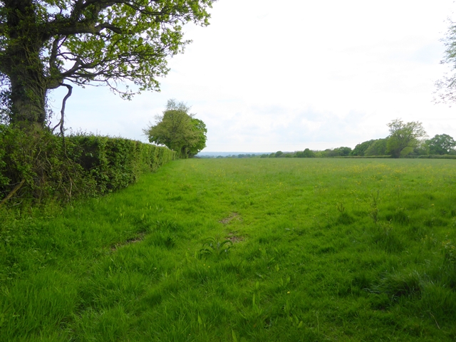
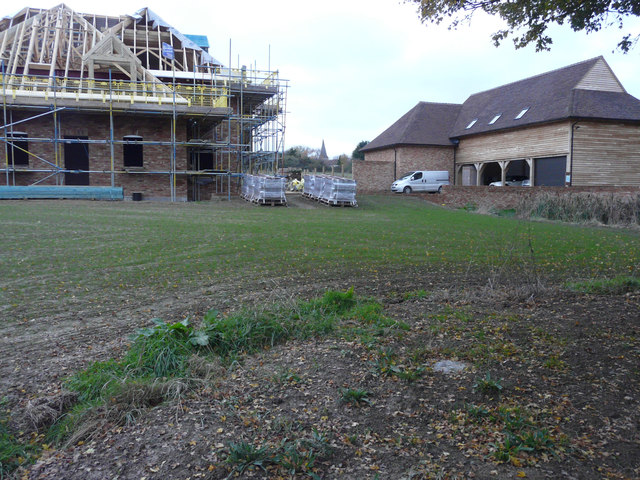
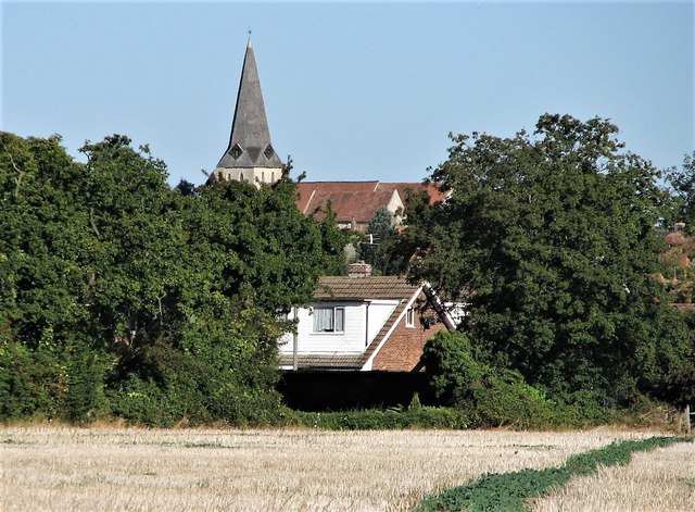
Cole Wood, Kent, also known as Wood or Forest, is a charming and picturesque woodland area located in the county of Kent, England. Spanning over several acres, Cole Wood is a haven for nature enthusiasts and those seeking tranquility away from the hustle and bustle of urban life.

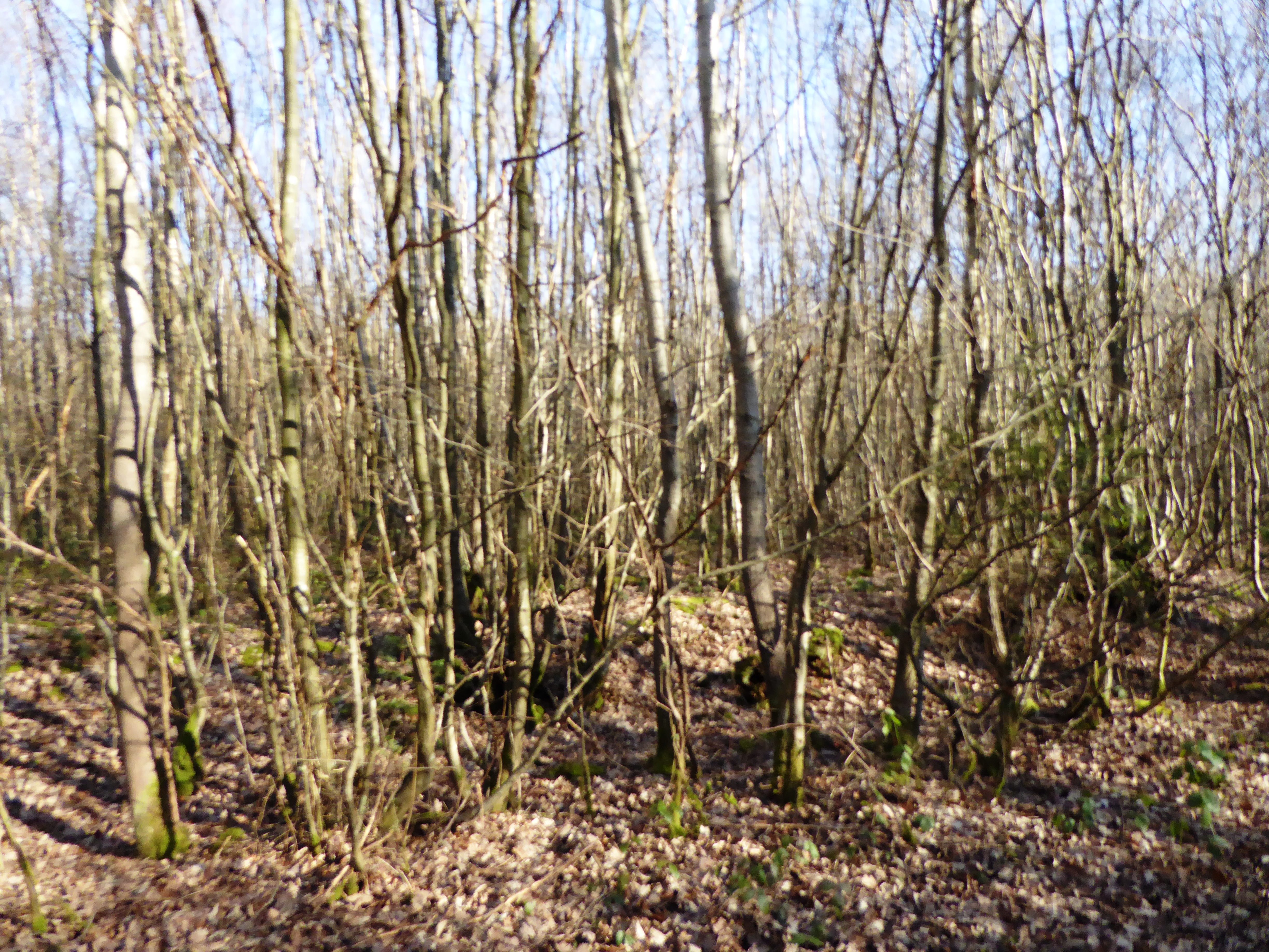
The wood is predominantly composed of ancient oak and beech trees, giving it a distinct and enchanting character. The dense canopy created by these towering trees provides ample shade and a cool atmosphere, making it an ideal spot for a leisurely stroll, a picnic, or simply to admire the beauty of nature.

The woodland floor is covered by a rich carpet of moss, ferns, and wildflowers, creating a vibrant and colorful landscape. It is home to a diverse range of wildlife, including woodland birds, squirrels, rabbits, and even the occasional deer. Birdsong fills the air, and if one is lucky, they may catch a glimpse of elusive woodland creatures going about their daily activities.

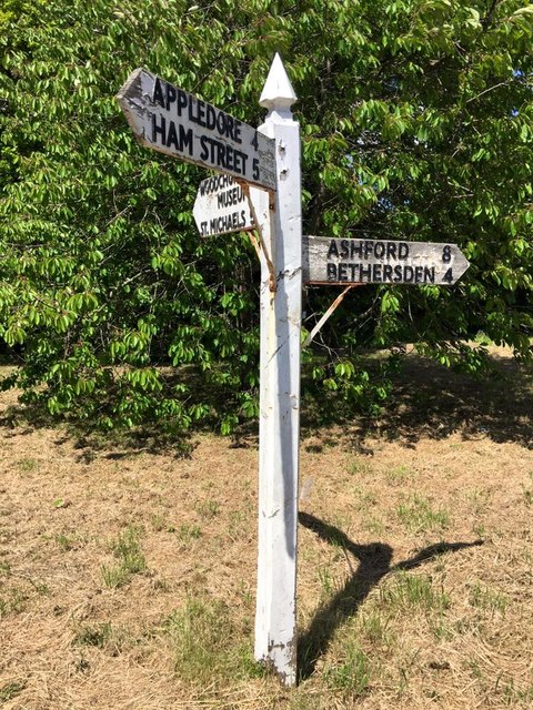
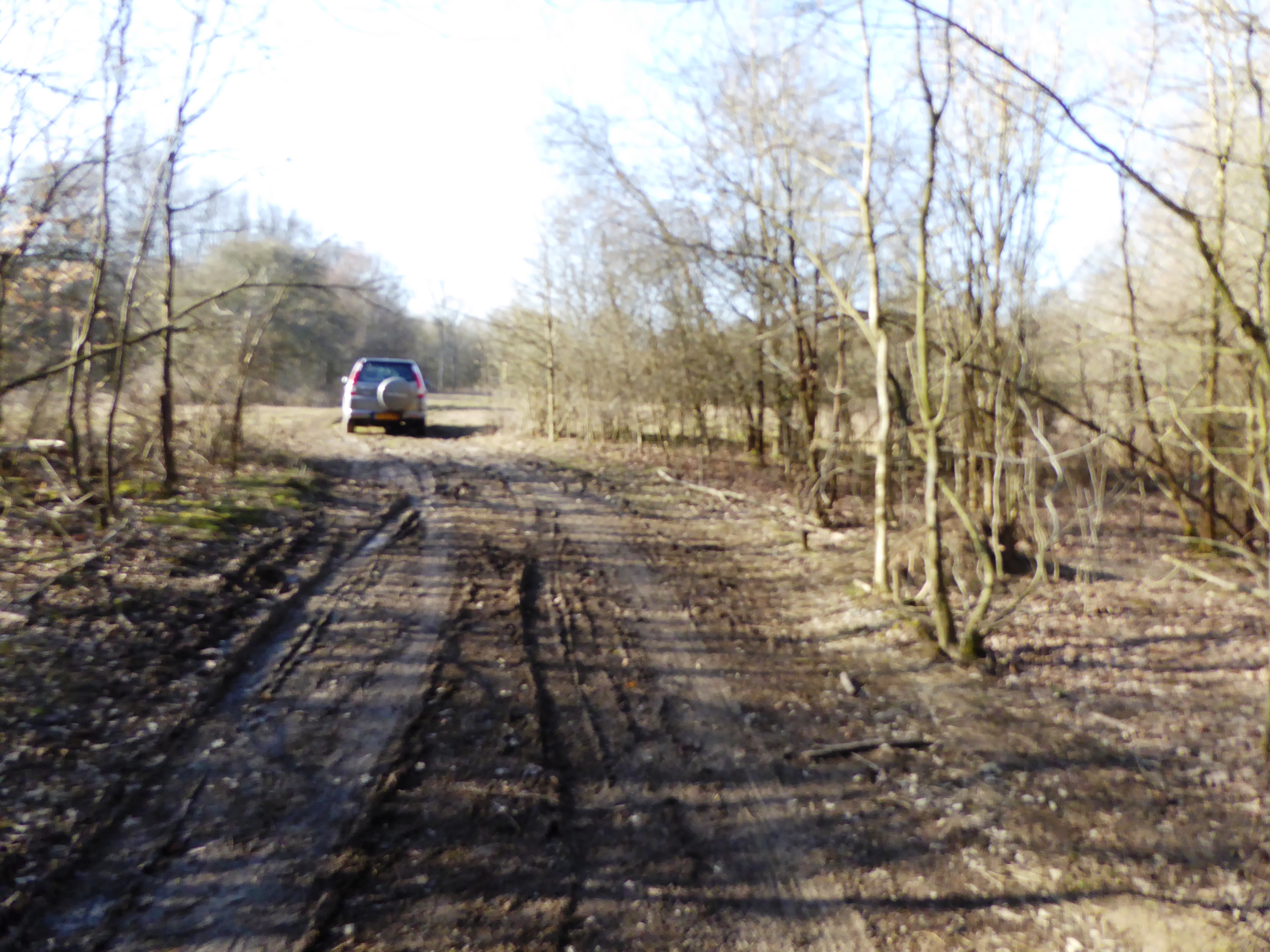
Cole Wood is a popular destination for walkers, hikers, and nature photographers. There are several well-marked trails that wind through the wood, allowing visitors to explore its hidden corners and discover its hidden treasures. The wood is well-maintained, with clear paths and informative signposts providing details about the flora and fauna found within.

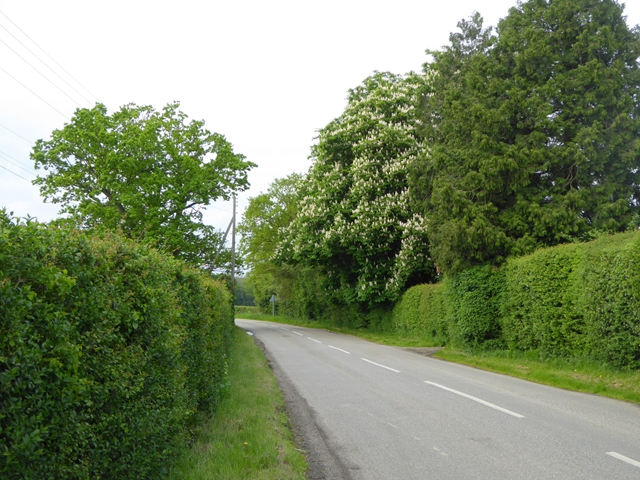
The wood is easily accessible, with a car park located nearby, and it is open to the public year-round, offering a serene and peaceful retreat for all who visit. Cole Wood, Kent truly embodies the beauty and tranquility of the English countryside, making it a must-visit destination for nature lovers and those seeking solace in a harmonious natural environment.

If you have any feedback on the listing, please let us know in the comments section below.
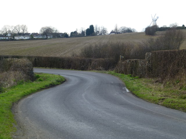
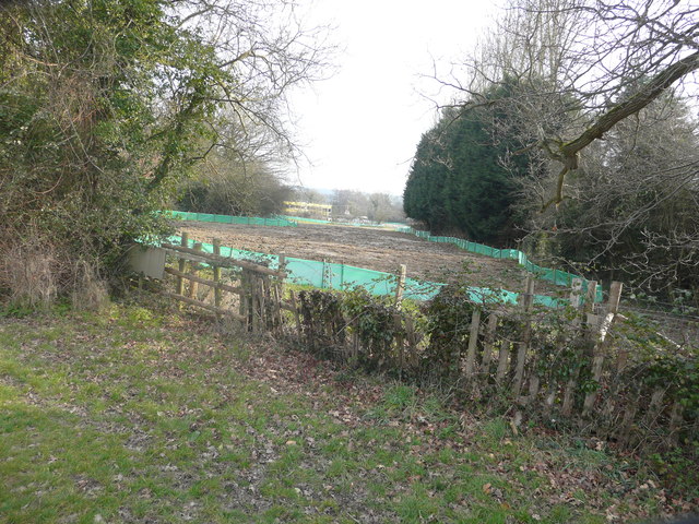
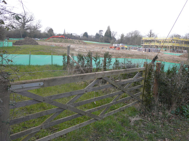
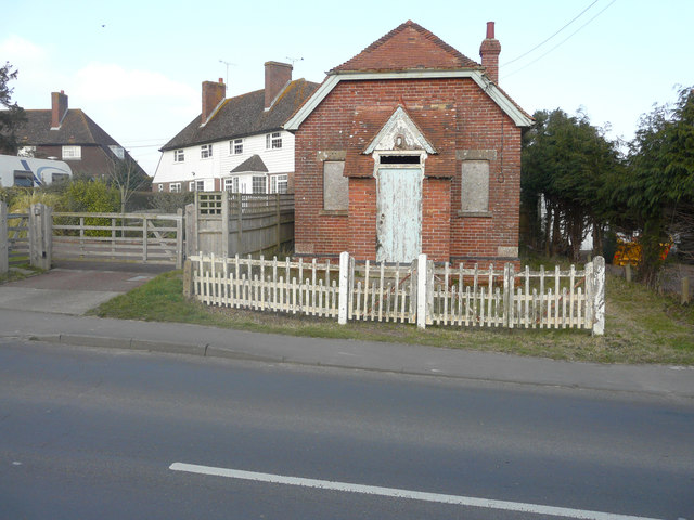
Cole Wood Images

Images are sourced within 2km of 51.081724/0.79352648 or Grid Reference TQ9535. Thanks to Geograph Open Source API. All images are credited.

Place Lane, Woodchurch The bottom of a steep little hill down into Woodchurch
Place Lane, Woodchurch
The bottom of a steep little hill down into Woodchurch
Building site, Lower Road Seen from The Green, planning permission has been granted by Ashford Borough Council under application number 14/00849/AS for the “erection of a detached dwelling, holiday let dwelling and linked office (B1) and creation of access”. The location was described as land opposite 11, Lower Road.
Building site, Lower Road
Seen from The Green, planning permission has been granted by Ashford Borough Council under application number 14/00849/AS for the “erection of a detached dwelling, holiday let dwelling and linked office (B1) and creation of access”. The location was described as land opposite 11, Lower Road.
Building site, Lower Road Planning permission has been granted by Ashford Borough Council under application number 14/00849/AS for the “erection of a detached dwelling, holiday let dwelling and linked office (B1) and creation of access”. The location was described as land opposite 11, Lower Road.
Building site, Lower Road
Planning permission has been granted by Ashford Borough Council under application number 14/00849/AS for the “erection of a detached dwelling, holiday let dwelling and linked office (B1) and creation of access”. The location was described as land opposite 11, Lower Road.
Derelict building, Front Road I have been informed, by a local resident, that the building was once a chapel.
Derelict building, Front Road
I have been informed, by a local resident, that the building was once a chapel.
Field at Shirkoak A public footpath runs alongside the hedge.
Field at Shirkoak
A public footpath runs alongside the hedge.
Redbrook Street east of Shirk Oak cross roads A fine example of a horse chestnut tree in flower.
Redbrook Street east of Shirk Oak cross roads
A fine example of a horse chestnut tree in flower.
Line of electricity poles Off Place Lane. May Farm can be seen in the distance.
Line of electricity poles
Off Place Lane. May Farm can be seen in the distance.
Hengherst Farm Seen from Shadoxhurst Road.
Hengherst Farm
Seen from Shadoxhurst Road.
Hornbrook Cottage
Hornbrook Cottage
Hornbrook Oast & Appledore Road
New buildings, Lower Road Eight month ago, it was a <a href="https://www.geograph.org.uk/photo/4884275">TQ9434 : Building site, Lower Road</a> but now the detached dwelling is under construction while the holiday let dwelling and linked office appears to be finished. Planning permission was granted by Ashford Borough Council’s under application number 14/00849/AS for the “erection of a detached dwelling, holiday let dwelling and linked office (B1) and creation of access.
New buildings, Lower Road
Eight month ago, it was a TQ9434 : Building site, Lower Road but now the detached dwelling is under construction while the holiday let dwelling and linked office appears to be finished. Planning permission was granted by Ashford Borough Council’s under application number 14/00849/AS for the “erection of a detached dwelling, holiday let dwelling and linked office (B1) and creation of access.
Derelict building I wonder what it was once used for.
Derelict building
I wonder what it was once used for.
All Saints Church from fields to south-east Note field path in bottom right corner
All Saints Church from fields to south-east
Note field path in bottom right corner
Direction Sign - Signpost by Bethersden Road, Woodchurch parish Spear finial - 3 arms; by the UC road, in parish of Woodchurch (Ashford District), on the northwest side of the junction of Front Road, Bethersden Road and Susan's Hill.

To be surveyed

Milestone Society National ID: KE_TQ9435
Direction Sign - Signpost by Bethersden Road, Woodchurch parish
Spear finial - 3 arms; by the UC road, in parish of Woodchurch (Ashford District), on the northwest side of the junction of Front Road, Bethersden Road and Susan's Hill. To be surveyed Milestone Society National ID: KE_TQ9435
Appledore Road joins the B2067 Just after this junction the B2067 enters Woodchurch.
Appledore Road joins the B2067
Just after this junction the B2067 enters Woodchurch.
Appledore Road southwest of Woodchurch
Hornbrook Oast, Appledore Road, Woodchurch Single round kiln oast house, missing cowl. Black weatherboard stowage.
Hornbrook Oast, Appledore Road, Woodchurch
Single round kiln oast house, missing cowl. Black weatherboard stowage.
Hornbrook Cottage
Hornbrook Cottage
Show me another place!

Cole Wood is located at Grid Ref: TQ9535 (Lat: 51.081724, Lng: 0.79352648)

Administrative County: Kent

District: Ashford

Police Authority: Kent

What 3 Words

///stray.release.indulgent. Near Woodchurch, Kent

Nearby Locations

Slaymore Wood Cole Wood

Related Wikis

Canterbury Oast Trust

Canterbury Oast Trust (COT) is a registered charity in England which sets up, manages and supports businesses providing work and training for people with...

Woodchurch, Kent

There is another Woodchurch in Kent, a hamlet in the Manston civil parish within the Thanet district.Woodchurch is a Kent village, the largest civil parish...

Lower Mill, Woodchurch

Lower Mill is a smock mill in Woodchurch, Kent, England that was built in 1820. It is a Scheduled Ancient Monument and a Grade II* listed building. �...

RAF Woodchurch

Royal Air Force Woodchurch, or more simply RAF Woodchurch, is a former Royal Air Force Advanced Landing Ground located in Kent, England. The airfield...

Shirkoak

Shirkoak is a hamlet in the civil parish of Woodchurch, southwest of the town of Ashford in Kent, England. == External links == Media related to Shirkoak...

Brattle

Brattle is one of the settlements making up the dispersed village of Woodchurch in Kent, England. It is at the southern apex of the triangle of roads which...

Alex Farm Pastures

Alex Farm Pastures is a 4.5-hectare (11-acre) biological Site of Special Scientific Interest south of Shadoxhurst in Kent.This site has unimproved neutral...

Stone Wood

Stone Wood is a nature reserve south-west of Shadoxhurst in Kent. It is managed by Kent Wildlife Trust (KWT).This site was clear felled in 1992 and left...

Nearby Amenities

Located within 500m of 51.081724,0.79352648
Barrier: stile
Lat/Long: 51.083762/0.7923885
Barrier: stile
Lat/Long: 51.0810418/0.7962934
Barrier: stile
Lat/Long: 51.0830524/0.7887735
Barrier: stile
Lat/Long: 51.0830704/0.7904423
The data included in this document is from www.openstreetmap.org. The data is made available under ODbL.

Have you been to Cole Wood?

Leave your review of Cole Wood below (or comments, questions and feedback).