Kiln Plantation
Wood, Forest in Suffolk Mid Suffolk
England
Kiln Plantation

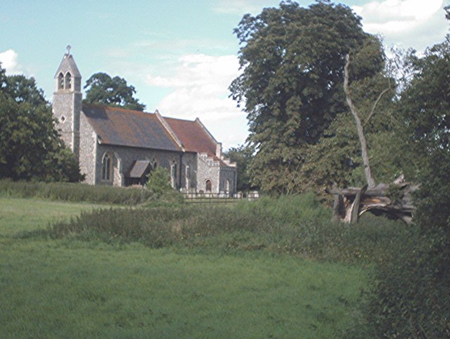
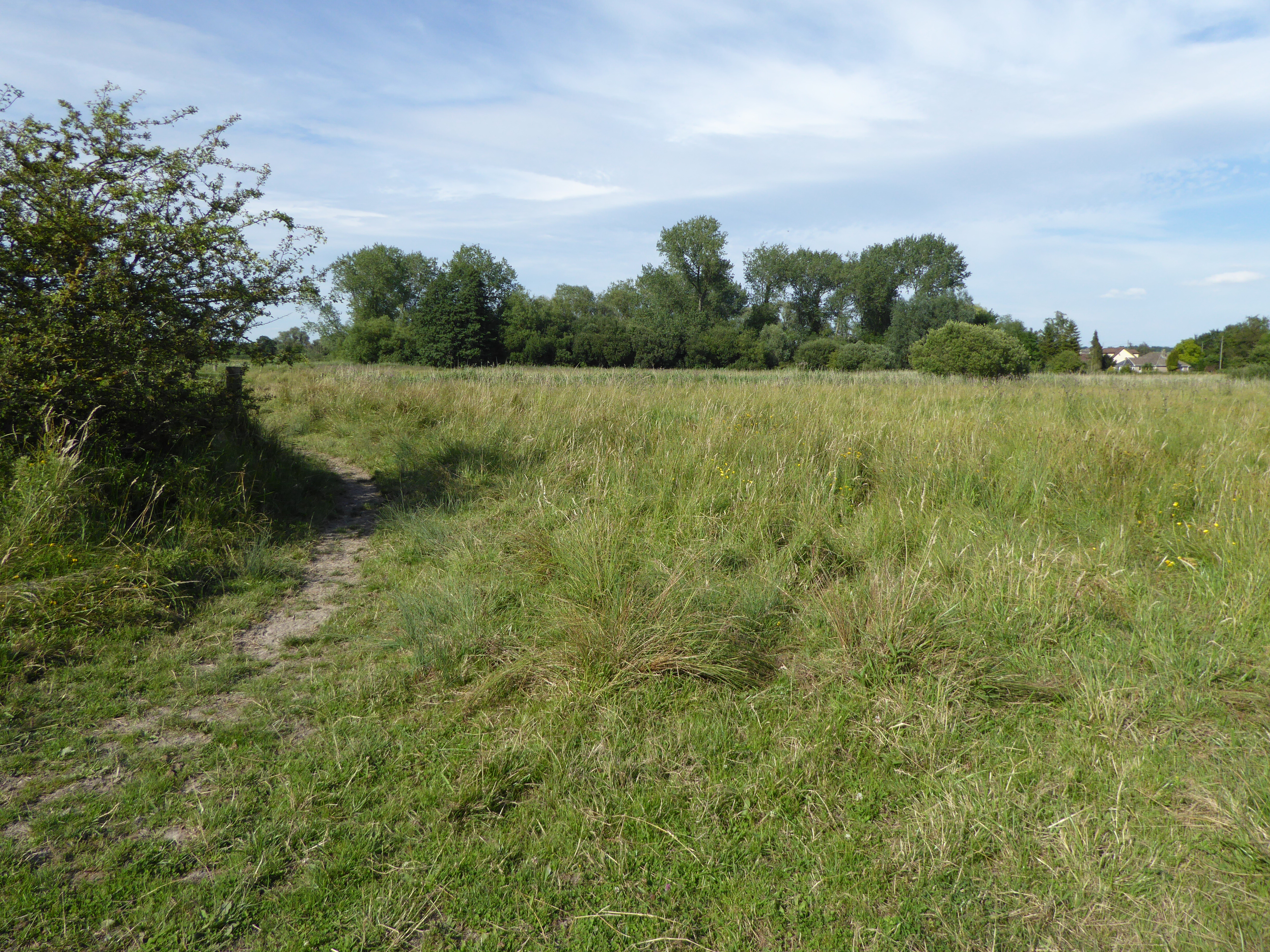
Kiln Plantation, located in Suffolk, is a picturesque woodland area renowned for its serene and idyllic ambiance. Covering a vast expanse of land, the plantation is a haven for nature enthusiasts and those seeking tranquility amidst the beauty of untouched forests. The plantation is predominantly composed of a diverse array of trees, including oak, beech, and pine, which offer a rich tapestry of colors throughout the seasons.
The woodland is home to a variety of wildlife, making it a prime spot for birdwatching and animal spotting. Visitors can expect to see a plethora of bird species, such as woodpeckers, owls, and warblers, as well as small mammals like rabbits and foxes. The plantation's natural habitat also provides shelter for deer, which can occasionally be seen grazing in the open meadows.
For those wishing to explore the woodland, there are several well-maintained trails that wind through the plantation. These trails offer an opportunity to immerse oneself in the sights and sounds of nature, with the occasional glimpse of a babbling brook or a hidden clearing. The plantation is also crisscrossed by a network of footpaths, allowing visitors to venture further afield and discover the surrounding countryside.
Kiln Plantation is not only a haven for wildlife and nature enthusiasts but also a popular destination for picnickers and families. The plantation provides ample space for outdoor activities and relaxation, with designated picnic areas and benches dotted throughout the woodland. Its proximity to nearby villages and towns makes it easily accessible for day trips and provides an escape from the hustle and bustle of urban life.
In summary, Kiln Plantation in Suffolk offers a breathtaking natural environment, showcasing the beauty and diversity of the region's woodlands. Whether one seeks a peaceful retreat or a place to explore and connect with nature, Kiln Plantation is a must-visit destination.
If you have any feedback on the listing, please let us know in the comments section below.
Kiln Plantation Images
Images are sourced within 2km of 52.289522/0.86862681 or Grid Reference TL9569. Thanks to Geograph Open Source API. All images are credited.


Kiln Plantation is located at Grid Ref: TL9569 (Lat: 52.289522, Lng: 0.86862681)
Administrative County: Suffolk
District: Mid Suffolk
Police Authority: Suffolk
What 3 Words
///often.sheds.muddle. Near Ixworth, Suffolk
Nearby Locations
Related Wikis

Stowlangtoft
Stowlangtoft is a village and civil parish in the Mid Suffolk district of Suffolk in eastern England two miles south-east from Ixworth. Located around...

Mickle Mere
Mickle Mere is a 17 hectare nature reserve south of Ixworth in Suffolk. It is managed by the Suffolk Wildlife Trust.This area of open water and wet meadows...
Langham, Suffolk
Langham is a village and civil parish in the Mid Suffolk district of Suffolk in eastern England. Located around seven miles north east of Bury St Edmunds...

Hunston, Suffolk
Hunston is a small Suffolk village and civil parish set in a conservation area of Mid-Suffolk and lies between Stowlangtoft and Badwell Ash off the A1088...

Stanton Woods
Stanton Woods is a 66.1-hectare (163-acre) biological Site of Special Scientific Interest south of Stanton in Suffolk.The site consists of several ancient...

Pakenham Windmill
Pakenham Mill is a Grade II* listed tower mill at Pakenham, Suffolk, England which has been restored and is maintained in working order. == History... ==
Pakenham Meadows
Pakenham Meadows is a 5.8-hectare (14-acre) biological Site of Special Scientific Interest north of Pakenham in Suffolk.This unimproved and poorly drained...

Ixworth
Ixworth is a village and civil parish in the West Suffolk district of Suffolk, England, 6 miles (9.7 km) north-east of Bury St Edmunds on the A143 road...
Nearby Amenities
Located within 500m of 52.289522,0.86862681Have you been to Kiln Plantation?
Leave your review of Kiln Plantation below (or comments, questions and feedback).