Newlands Wood

Wood, Forest in Kent Ashford

England

Newlands Wood

West St
West St Credit: N Chadwick

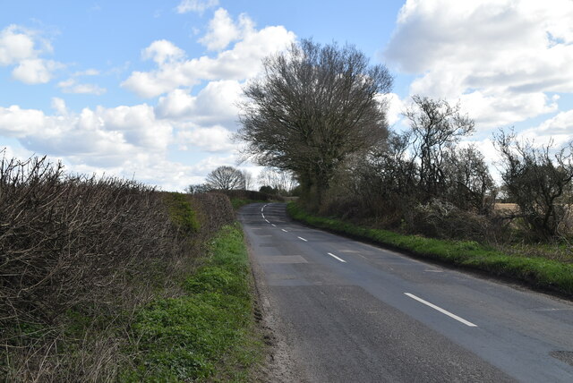
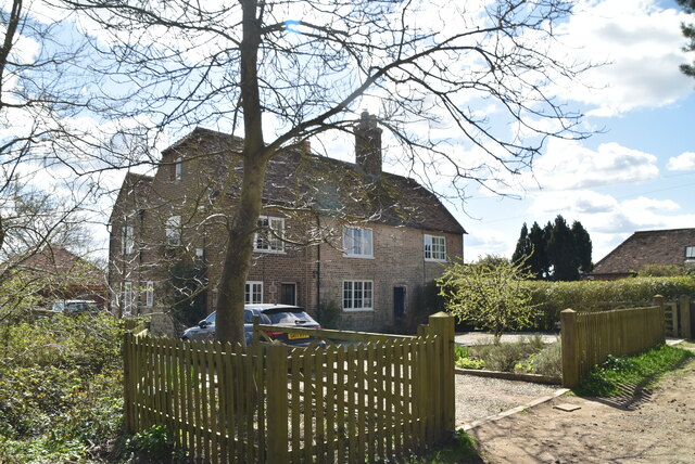
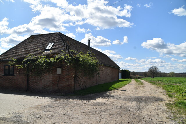
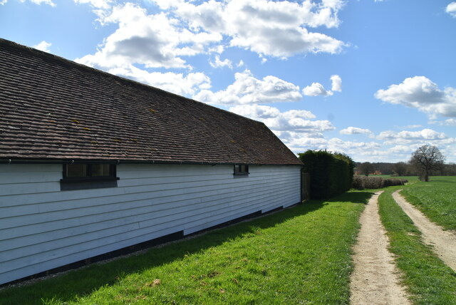
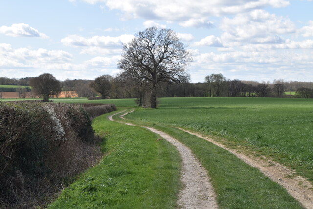
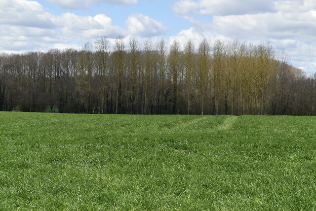
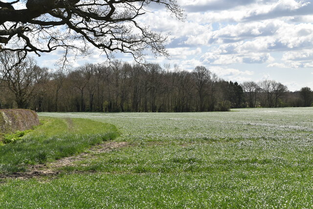
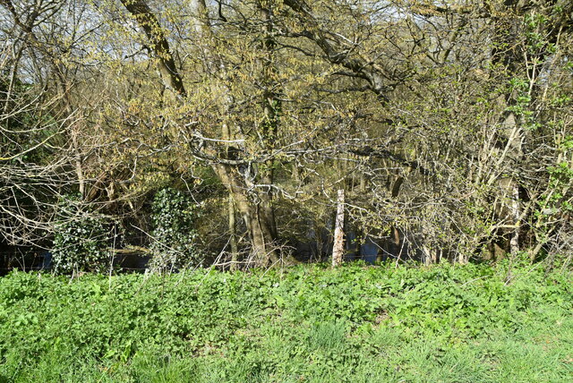
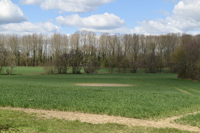
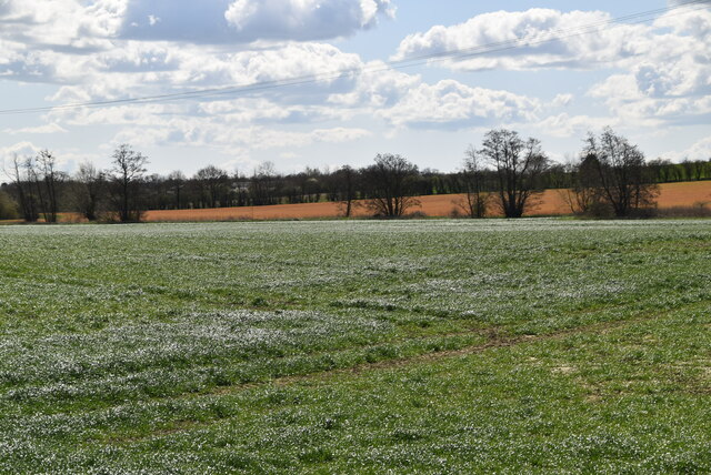
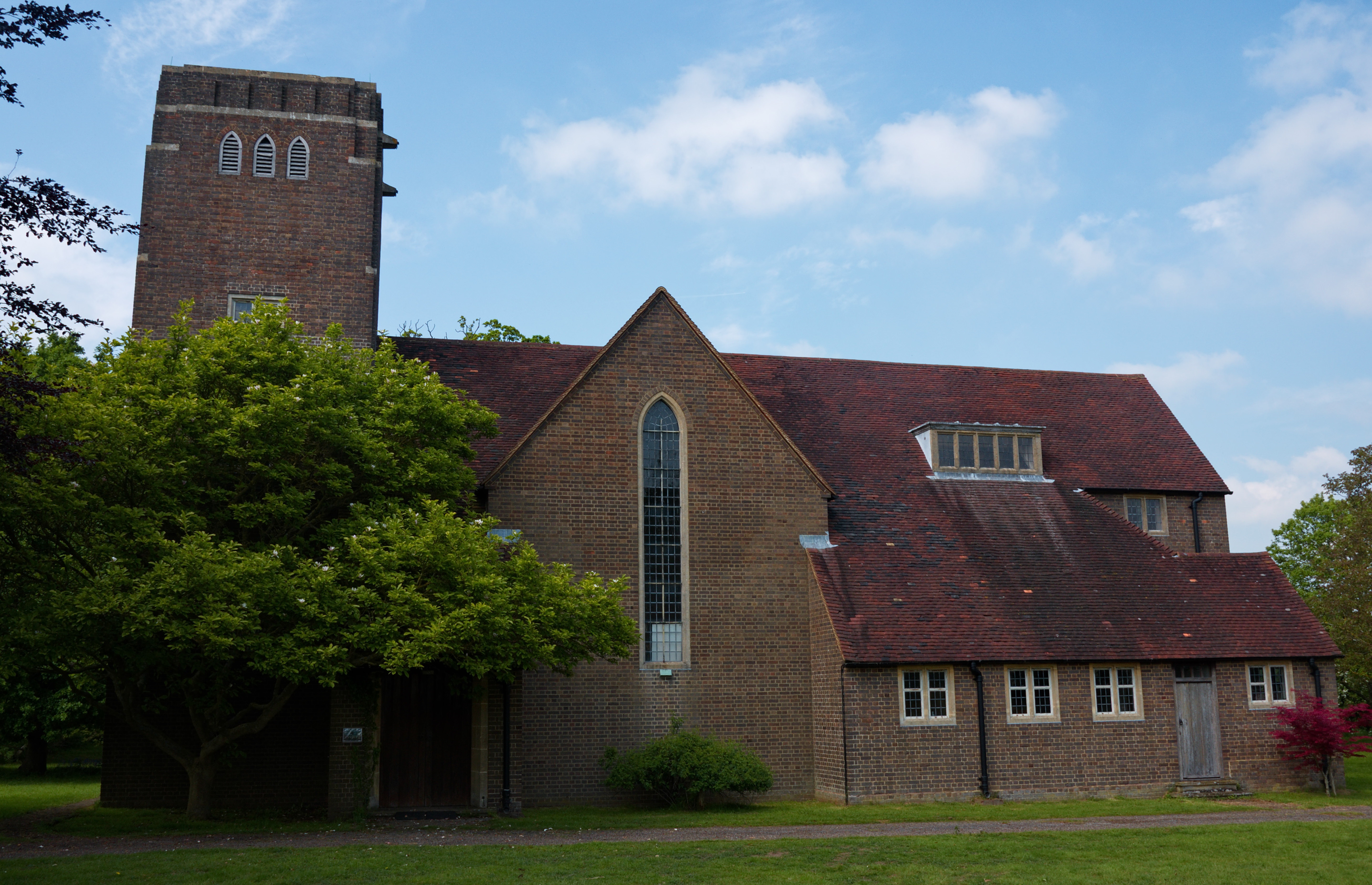
Newlands Wood is a picturesque wood located in the county of Kent, England. Situated near the town of Tunbridge Wells, this woodland covers an expansive area of approximately 100 acres. It is part of the High Weald Area of Outstanding Natural Beauty and is renowned for its stunning natural scenery and diverse ecosystem.

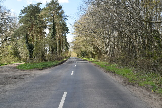
The wood is predominantly composed of a mix of broadleaf and coniferous trees, including oak, beech, and pine. This blend of tree species creates a rich tapestry of colors throughout the seasons, with vibrant autumnal foliage and lush greenery in the spring and summer. The wood is also home to a variety of wildlife, including deer, foxes, and numerous bird species, making it a haven for nature lovers and wildlife enthusiasts.

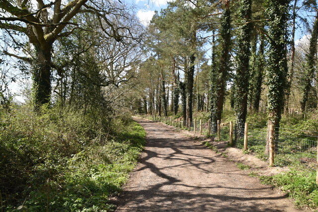
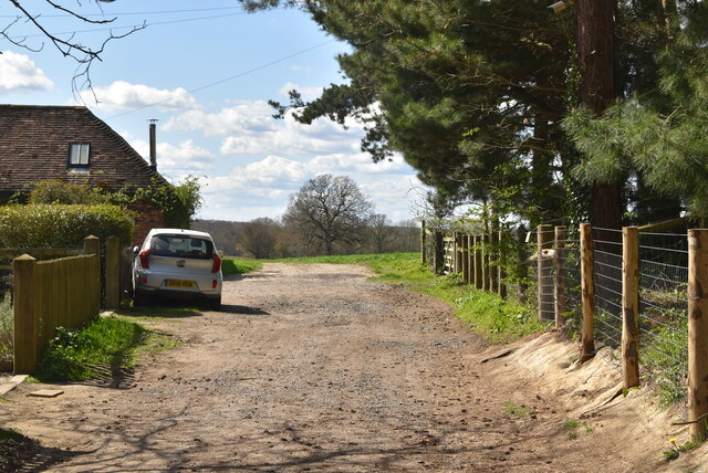
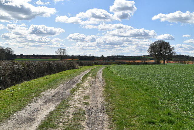
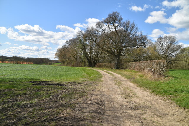
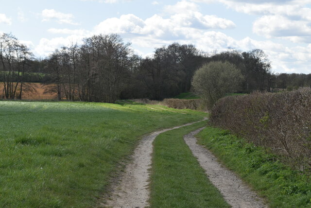
Newlands Wood offers a range of recreational activities for visitors to enjoy. There are several well-maintained footpaths and trails that meander through the woodland, providing opportunities for walking, jogging, and cycling. These paths offer stunning views of the surrounding countryside and provide a tranquil escape from the hustle and bustle of everyday life.

In addition to its natural beauty, Newlands Wood also has several picnic areas and designated barbecue spots, making it a popular destination for families and groups to gather and enjoy a day out in the great outdoors. The wood is also equipped with basic amenities such as toilets and parking facilities, ensuring visitors have a comfortable experience.

Overall, Newlands Wood in Kent is a captivating woodland that offers a serene and picturesque environment for nature enthusiasts and recreational visitors alike. Its diverse flora and fauna, coupled with its well-maintained trails and amenities, make it a must-visit destination for those seeking a tranquil escape in the heart of the English countryside.

If you have any feedback on the listing, please let us know in the comments section below.

Newlands Wood Images

Images are sourced within 2km of 51.15496/0.79523205 or Grid Reference TQ9543. Thanks to Geograph Open Source API. All images are credited.

West St
West St
West St
West St
Stour Valley Walk The Stour Valley Walk is a 58 mile (93km) route through the Low Weald and North Downs, giving you access to some the most attractive parts of East Kent. Rolling grassland, woods, marshes, peat bog, orchards and picturesque villages make this a memorable journey which can be completed over a long weekend or in shorter sections. The symbol of the Stour Valley Walk is the heron.
See <span class="nowrap"><a title="http://www.kent.gov.uk/leisure-and-culture/explore-kent/walking/stour-valley-walk.htm" rel="nofollow ugc noopener" href="http://www.kent.gov.uk/leisure-and-culture/explore-kent/walking/stour-valley-walk.htm">Link</a><img style="margin-left:2px;" alt="External link" title="External link - shift click to open in new window" src="https://s1.geograph.org.uk/img/external.png" width="10" height="10"/></span> for more details.
Stour Valley Walk
The Stour Valley Walk is a 58 mile (93km) route through the Low Weald and North Downs, giving you access to some the most attractive parts of East Kent. Rolling grassland, woods, marshes, peat bog, orchards and picturesque villages make this a memorable journey which can be completed over a long weekend or in shorter sections. The symbol of the Stour Valley Walk is the heron. See LinkExternal link for more details.
Hall Farmhouse
Hall Farmhouse
Barn, Hall Farm
Barn, Hall Farm
Barn, Hall Farm
Barn, Hall Farm
Stour Valley Walk The Stour Valley Walk is a 58 mile (93km) route through the Low Weald and North Downs, giving you access to some the most attractive parts of East Kent. Rolling grassland, woods, marshes, peat bog, orchards and picturesque villages make this a memorable journey which can be completed over a long weekend or in shorter sections. The symbol of the Stour Valley Walk is the heron.
See <span class="nowrap"><a title="http://www.kent.gov.uk/leisure-and-culture/explore-kent/walking/stour-valley-walk.htm" rel="nofollow ugc noopener" href="http://www.kent.gov.uk/leisure-and-culture/explore-kent/walking/stour-valley-walk.htm">Link</a><img style="margin-left:2px;" alt="External link" title="External link - shift click to open in new window" src="https://s1.geograph.org.uk/img/external.png" width="10" height="10"/></span> for more details.
Stour Valley Walk
The Stour Valley Walk is a 58 mile (93km) route through the Low Weald and North Downs, giving you access to some the most attractive parts of East Kent. Rolling grassland, woods, marshes, peat bog, orchards and picturesque villages make this a memorable journey which can be completed over a long weekend or in shorter sections. The symbol of the Stour Valley Walk is the heron. See LinkExternal link for more details.
Brownmill Spinney
Brownmill Spinney
Stour Valley Walk The Stour Valley Walk is a 58 mile (93km) route through the Low Weald and North Downs, giving you access to some the most attractive parts of East Kent. Rolling grassland, woods, marshes, peat bog, orchards and picturesque villages make this a memorable journey which can be completed over a long weekend or in shorter sections. The symbol of the Stour Valley Walk is the heron.
See <span class="nowrap"><a title="http://www.kent.gov.uk/leisure-and-culture/explore-kent/walking/stour-valley-walk.htm" rel="nofollow ugc noopener" href="http://www.kent.gov.uk/leisure-and-culture/explore-kent/walking/stour-valley-walk.htm">Link</a><img style="margin-left:2px;" alt="External link" title="External link - shift click to open in new window" src="https://s1.geograph.org.uk/img/external.png" width="10" height="10"/></span> for more details.
Stour Valley Walk
The Stour Valley Walk is a 58 mile (93km) route through the Low Weald and North Downs, giving you access to some the most attractive parts of East Kent. Rolling grassland, woods, marshes, peat bog, orchards and picturesque villages make this a memorable journey which can be completed over a long weekend or in shorter sections. The symbol of the Stour Valley Walk is the heron. See LinkExternal link for more details.
Brownmill Spinney
Brownmill Spinney
Egg Hole
Egg Hole
Great Stour valley
Great Stour valley
Farmland
Farmland
Stour Valley Walk The Stour Valley Walk is a 58 mile (93km) route through the Low Weald and North Downs, giving you access to some the most attractive parts of East Kent. Rolling grassland, woods, marshes, peat bog, orchards and picturesque villages make this a memorable journey which can be completed over a long weekend or in shorter sections. The symbol of the Stour Valley Walk is the heron.
See <span class="nowrap"><a title="http://www.kent.gov.uk/leisure-and-culture/explore-kent/walking/stour-valley-walk.htm" rel="nofollow ugc noopener" href="http://www.kent.gov.uk/leisure-and-culture/explore-kent/walking/stour-valley-walk.htm">Link</a><img style="margin-left:2px;" alt="External link" title="External link - shift click to open in new window" src="https://s1.geograph.org.uk/img/external.png" width="10" height="10"/></span> for more details.
Stour Valley Walk
The Stour Valley Walk is a 58 mile (93km) route through the Low Weald and North Downs, giving you access to some the most attractive parts of East Kent. Rolling grassland, woods, marshes, peat bog, orchards and picturesque villages make this a memorable journey which can be completed over a long weekend or in shorter sections. The symbol of the Stour Valley Walk is the heron. See LinkExternal link for more details.
Great Stour The principal branch of the River Stour system in Kent, the river bears this name between Ashford and Canterbury.
Great Stour
The principal branch of the River Stour system in Kent, the river bears this name between Ashford and Canterbury.
Great Stour The principal branch of the River Stour system in Kent, the river bears this name between Ashford and Canterbury.
Great Stour
The principal branch of the River Stour system in Kent, the river bears this name between Ashford and Canterbury.
Show me another place!

Newlands Wood is located at Grid Ref: TQ9543 (Lat: 51.15496, Lng: 0.79523205)

Administrative County: Kent

District: Ashford

Police Authority: Kent

What 3 Words

///plod.regaining.desiring. Near Shadoxhurst, Kent

Related Wikis

Hoad's Wood

Hoad's Wood is an 80.5-hectare (199-acre) biological Site of Special Scientific Interest west of Ashford in Kent.Natural England described the woodland...

Hothfield

Hothfield is a village and civil parish in the Ashford Borough of Kent, England and is 3 miles north-west of Ashford on the A20. It is completely split...

Godinton House

Godinton House (also known as Godinton House and Gardens or Godinton Park) is a stately home in the parish of Great Chart, owned by a non-profit-making...

Little Chart

Little Chart is a village and civil parish, situated 4 miles (6.4 km) north-west of Ashford in Kent, South East England. The parish lies south of the M20...

Hothfield Common

Hothfield Common is a 56.5-hectare (140-acre) biological Site of Special Scientific Interest north-east of Ashford in Kent. It is also a Local Nature...

Great Chart

Great Chart is a village and former civil parish, now in the parish of Great Chart with Singleton, in the Ashford borough of Kent, England. The parish...

Great Chart with Singleton

Great Chart with Singleton is a civil parish in the Ashford district of Kent, England. The parish population is mostly concentrated in the ancient village...

Singleton, Kent

Singleton is a suburb of Ashford in Kent, South East England, first developed in the 1980s. Although Singleton forms a contiguous urban area with the large...

Nearby Amenities

Located within 500m of 51.15496,0.79523205
Source: Bing
Sport: shooting
Type: paintball
Lat/Long: 51.1518341/0.7984679
Generator Method: photovoltaic
Generator Output Electricity: yes
Generator Source: solar
Generator Type: solar_photovoltaic_panel
Location: roof
Power: generator
Lat/Long: 51.1589251/0.7949811
The data included in this document is from www.openstreetmap.org. The data is made available under ODbL.

Have you been to Newlands Wood?

Leave your review of Newlands Wood below (or comments, questions and feedback).