Burntfirs Plantation
Wood, Forest in Suffolk West Suffolk
England
Burntfirs Plantation

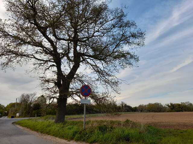
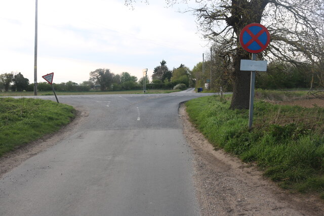
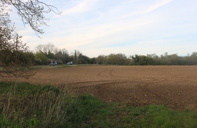
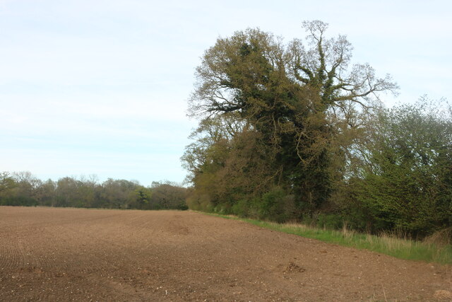
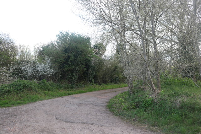
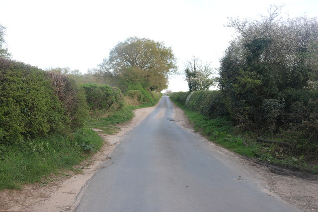
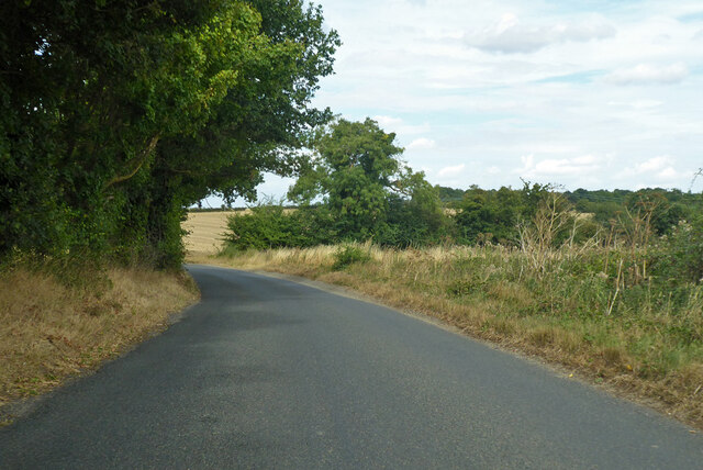
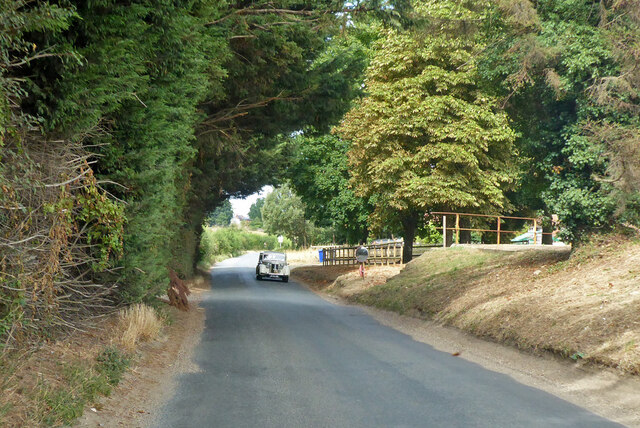
Burntfirs Plantation is a picturesque woodland located in Suffolk, England. Spread over a vast area, this plantation is known for its dense vegetation and diverse wildlife. It is situated in a rural area, surrounded by the serene beauty of the Suffolk countryside.
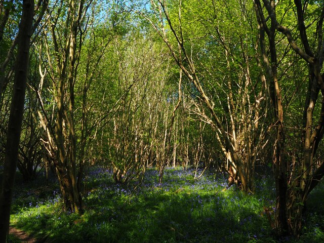
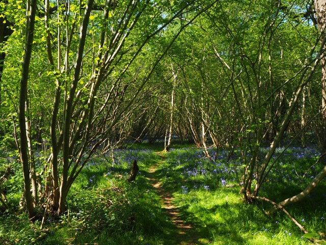
The dominant tree species in Burntfirs Plantation is the Scots Pine, which creates a unique and enchanting atmosphere. The plantation also boasts a variety of other tree species including oak, birch, and beech trees. The tall, majestic pines stand tall, creating a canopy that provides shade and shelter for the smaller plants and animals that call this place home.
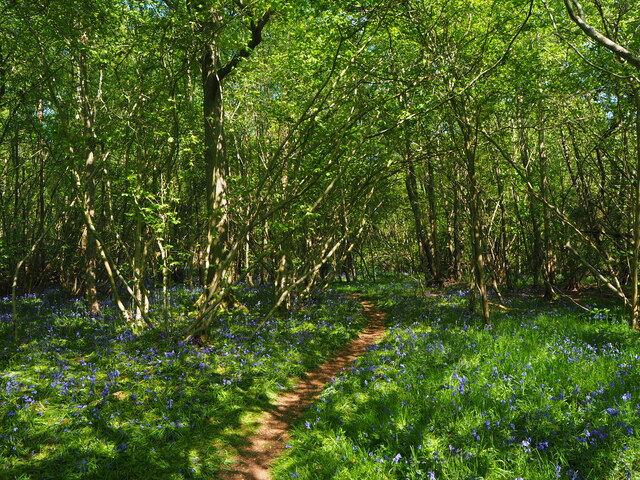
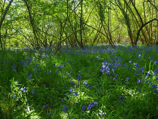
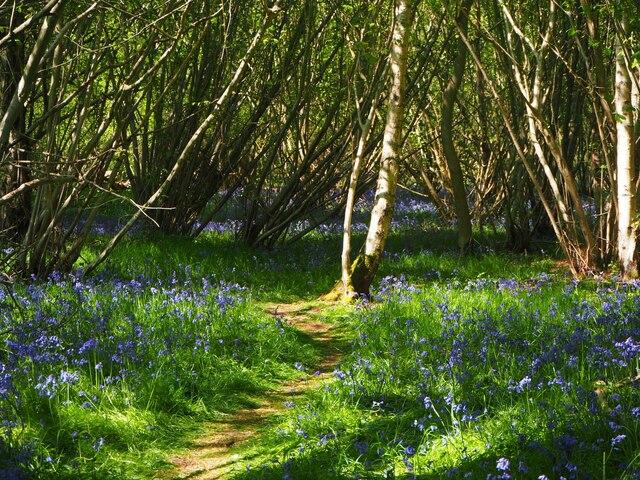
The forest floor of Burntfirs Plantation is covered with a thick layer of moss, ferns, and wildflowers, creating a rich and vibrant undergrowth. This dense vegetation provides a habitat for a wide range of animal species, including deer, foxes, badgers, and numerous bird species.
The plantation is crisscrossed by a network of walking trails, allowing visitors to explore the natural wonders of the woodland. These trails meander through the trees, offering breathtaking views of the surrounding countryside and opportunities for peaceful walks and nature photography.
Burntfirs Plantation is managed sustainably, with careful consideration given to preserving its natural beauty and ecological balance. The Suffolk Wildlife Trust, in collaboration with local authorities, ensures that this woodland remains a haven for wildlife and a cherished destination for nature enthusiasts.
In conclusion, Burntfirs Plantation is a captivating woodland in Suffolk, offering a haven for wildlife and a tranquil escape for visitors. Its dense vegetation, diverse animal species, and scenic trails make it a must-visit destination for those seeking to immerse themselves in the beauty of nature.
If you have any feedback on the listing, please let us know in the comments section below.
Burntfirs Plantation Images
Images are sourced within 2km of 52.303485/0.86357368 or Grid Reference TL9571. Thanks to Geograph Open Source API. All images are credited.


Burntfirs Plantation is located at Grid Ref: TL9571 (Lat: 52.303485, Lng: 0.86357368)
Administrative County: Suffolk
District: West Suffolk
Police Authority: Suffolk
What 3 Words
///courtyard.pollution.amounting. Near Ixworth, Suffolk
Nearby Locations
Related Wikis

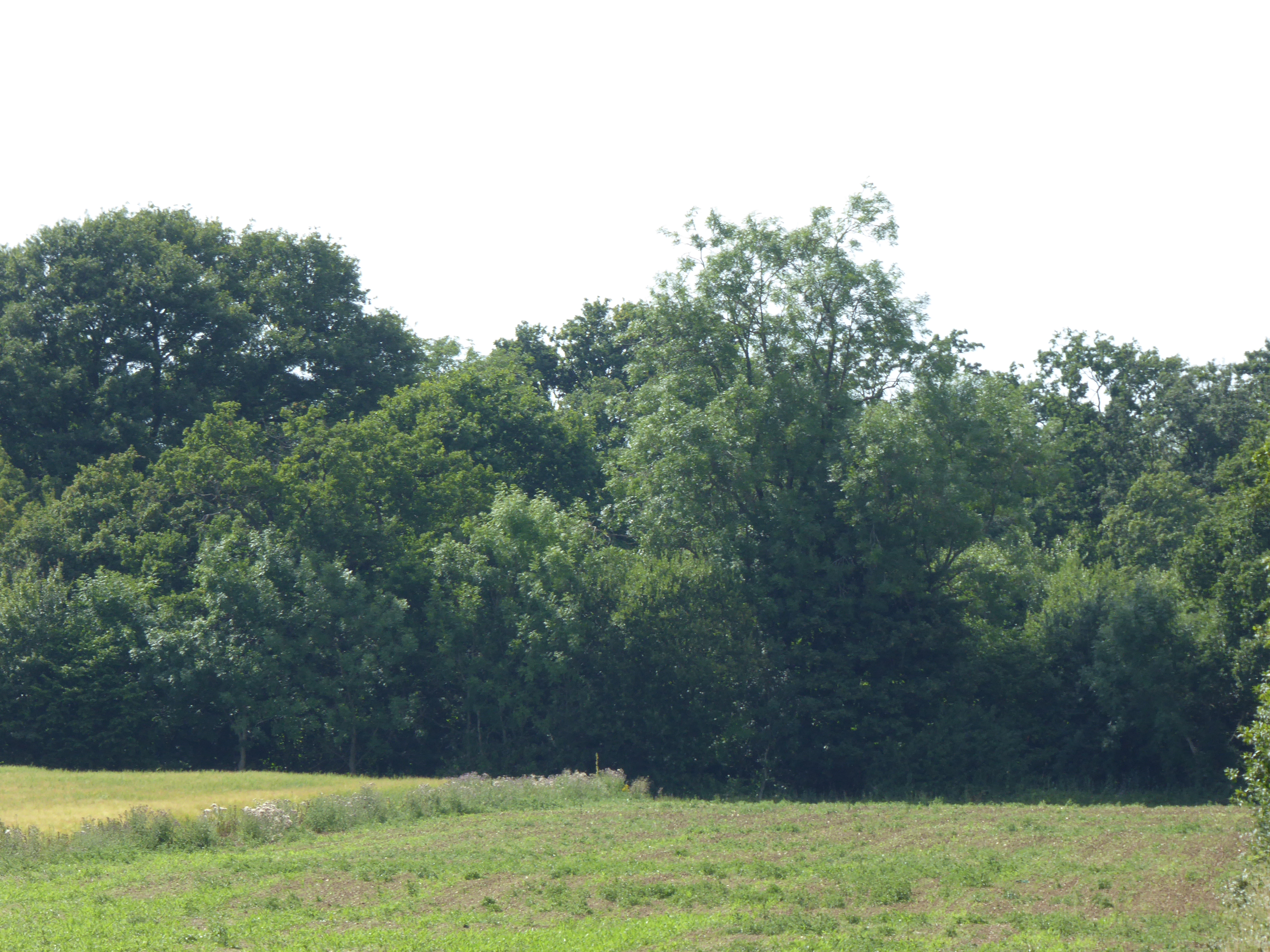
Stanton Woods
Stanton Woods is a 66.1-hectare (163-acre) biological Site of Special Scientific Interest south of Stanton in Suffolk.The site consists of several ancient...

Bardwell, Suffolk
Bardwell is a village and civil parish in the West Suffolk district of Suffolk, England. == Location == Bardwell is located about ten miles north-east...

Ixworth
Ixworth is a village and civil parish in the West Suffolk district of Suffolk, England, 6 miles (9.7 km) north-east of Bury St Edmunds on the A143 road...

Mickle Mere
Mickle Mere is a 17 hectare nature reserve south of Ixworth in Suffolk. It is managed by the Suffolk Wildlife Trust.This area of open water and wet meadows...
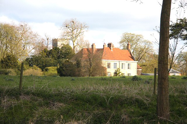
Ixworth Priory
Ixworth Priory was an Augustine priory at Ixworth in the English county of Suffolk. It was founded in the 12th century and dissolved in 1537. The priory...
Bangrove Wood, Ixworth
Bangrove Wood is an 18.6-hectare (46-acre) biological Site of Special Scientific Interest north of Ixworth in Suffolk, England.This is ancient coppice...

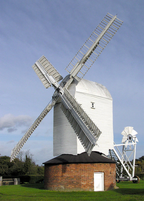
Pakenham Windmill
Pakenham Mill is a Grade II* listed tower mill at Pakenham, Suffolk, England which has been restored and is maintained in working order. == History... ==
Stanton, Suffolk
Stanton is a village and civil parish in the West Suffolk district of Suffolk in eastern England, about nine miles north-east of Bury St Edmunds, on the...
Nearby Amenities
Located within 500m of 52.303485,0.86357368Have you been to Burntfirs Plantation?
Leave your review of Burntfirs Plantation below (or comments, questions and feedback).