Knightshill Grove
Wood, Forest in Suffolk Babergh
England
Knightshill Grove
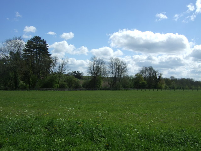
Knightshill Grove is a picturesque woodland located in Suffolk, England. Situated near the charming village of Woodbridge, this forested area spans approximately 100 acres and is renowned for its natural beauty and tranquil atmosphere.
The grove is predominantly composed of diverse tree species, including oak, beech, and pine. The dense canopy created by these trees provides a haven for various wildlife, making it a popular spot for nature enthusiasts and bird watchers. Visitors can spot a range of bird species, such as woodpeckers, owls, and songbirds, as well as small mammals like squirrels and rabbits.
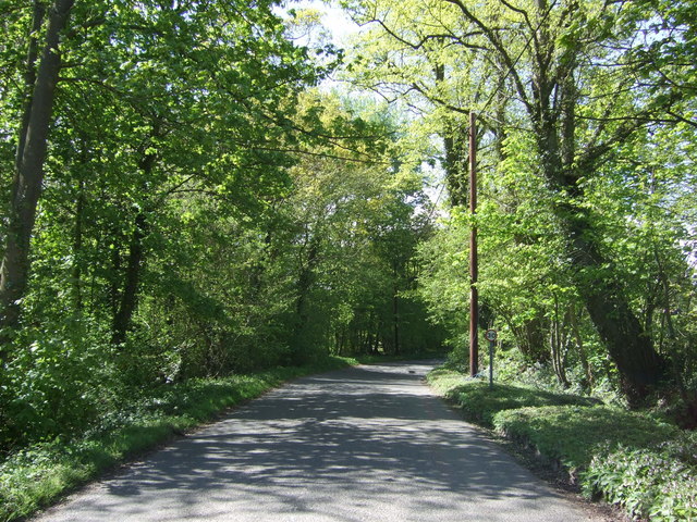
The woodland features a network of well-maintained walking trails, allowing visitors to explore its enchanting surroundings. These paths wind their way through the forest, offering glimpses of sun-dappled clearings and babbling brooks. The grove is particularly captivating during the autumn months when the leaves turn vibrant shades of red, orange, and gold, creating a stunning display of nature's beauty.
Knightshill Grove is a haven for those seeking peace and solitude. The serene ambiance is further enhanced by the absence of vehicular traffic, ensuring a peaceful and undisturbed experience for visitors. The grove provides an ideal location for picnics, leisurely walks, and photography, allowing individuals to connect with nature and escape the hustle and bustle of daily life.
Overall, Knightshill Grove in Suffolk is a natural gem that offers a sanctuary of calm and beauty. With its diverse flora and fauna, well-maintained trails, and serene ambiance, it is a must-visit destination for anyone seeking a tranquil escape in the heart of Suffolk's woodlands.
If you have any feedback on the listing, please let us know in the comments section below.
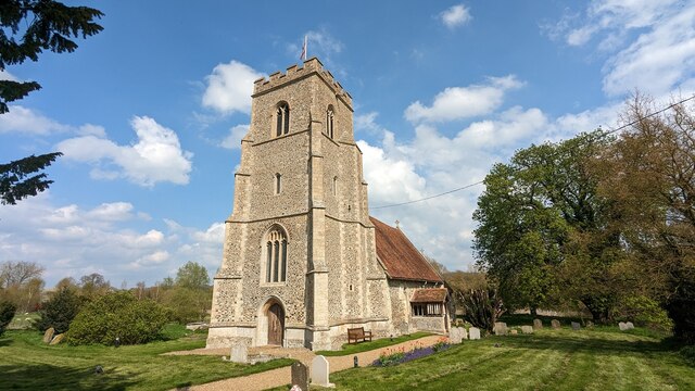
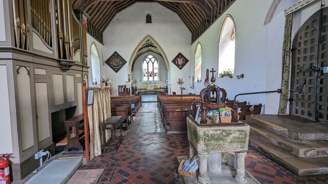
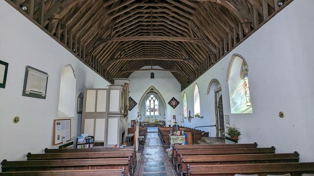
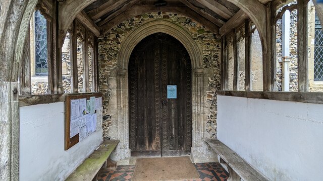
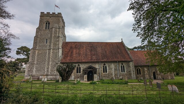
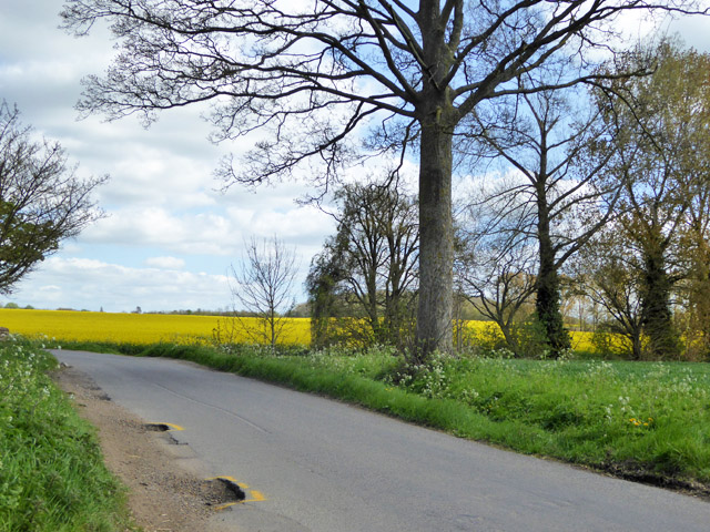
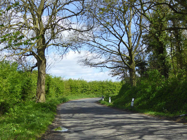
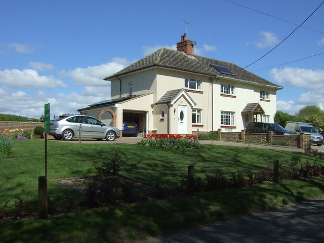
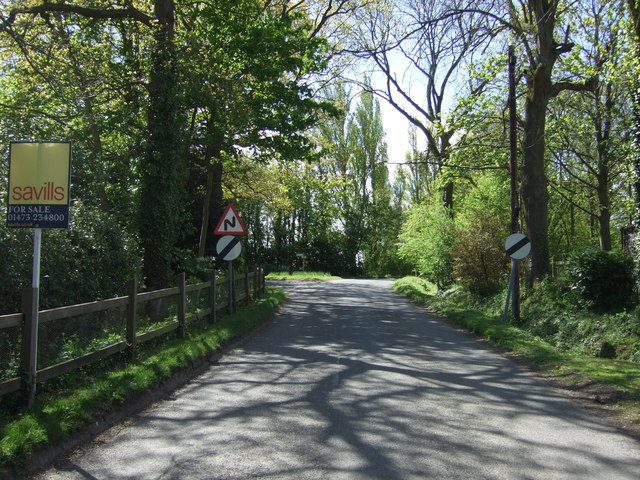
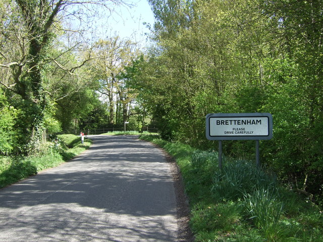
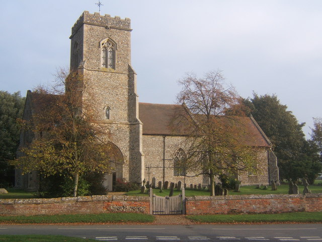
Knightshill Grove Images
Images are sourced within 2km of 52.140578/0.84746491 or Grid Reference TL9452. Thanks to Geograph Open Source API. All images are credited.


Knightshill Grove is located at Grid Ref: TL9452 (Lat: 52.140578, Lng: 0.84746491)
Administrative County: Suffolk
District: Babergh
Police Authority: Suffolk
What 3 Words
///remaining.whistle.thigh. Near Lavenham, Suffolk
Nearby Locations
Related Wikis
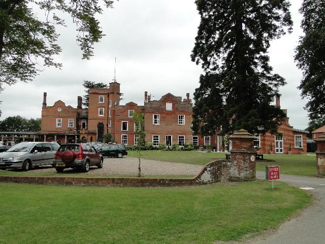
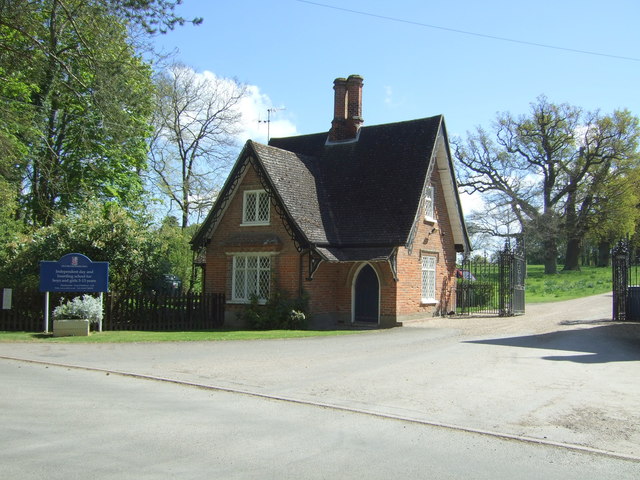
Old Buckenham Hall School
Old Buckenham Hall School (commonly known as OBH) is a day and boarding preparatory school with pre-prep for boys and girls in the village of Brettenham...

Thorpe Morieux
Thorpe Morieux ( Mə-ROO) is a small village and civil parish in Suffolk, England. It is 10 miles south-east of Bury St Edmunds and 10 miles north east...
Brettenham, Suffolk
Brettenham is a village and civil parish in the Babergh district of Suffolk, England. In 2005 it had a population of 270, increasing to 353 at the 2011...

Centre Academy East Anglia
Centre Academy East Anglia, formerly known as The Old Rectory School is a private special school in Brettenham, Suffolk, England, founded in 1981. The...
Nearby Amenities
Located within 500m of 52.140578,0.84746491Have you been to Knightshill Grove?
Leave your review of Knightshill Grove below (or comments, questions and feedback).