Bridge Covert
Wood, Forest in Essex Colchester
England
Bridge Covert
Bridge Covert is a charming woodland located in Essex, England. Situated near the town of Wood and within the larger Forest district, this area offers a peaceful and natural retreat for visitors seeking solace in nature.
Covering an expanse of approximately 50 acres, Bridge Covert is predominantly made up of dense and ancient woodland. The area is characterized by a mix of broadleaf and coniferous trees, creating a diverse and visually pleasing landscape. These trees provide a habitat for a variety of wildlife, such as birds, squirrels, and deer, making it a popular spot for nature enthusiasts and birdwatchers alike.
The woodland is crisscrossed by a network of well-maintained footpaths, allowing visitors to explore the area at their own pace. These paths wind through the trees, offering glimpses of the peaceful River Covert that runs through the woodland. The river adds to the tranquility of the surroundings, with its gentle flow and calming sounds.
Bridge Covert also boasts a picnic area, providing a perfect spot for visitors to relax and enjoy the natural beauty around them. With its abundant greenery and fresh air, the woodland offers a wonderful escape from the hustle and bustle of everyday life.
Overall, Bridge Covert in Essex is a hidden gem, offering a serene and picturesque setting for nature lovers to immerse themselves in the beauty of the English countryside.
If you have any feedback on the listing, please let us know in the comments section below.
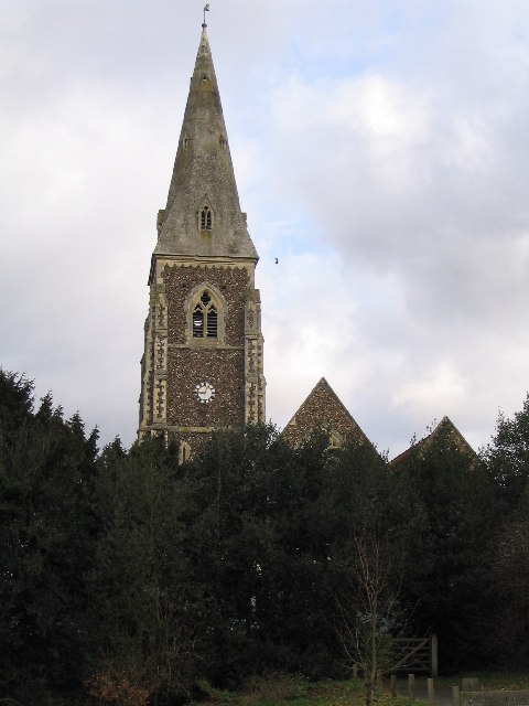
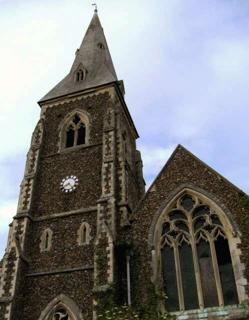
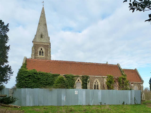
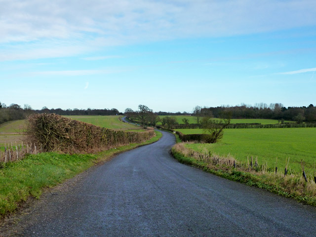
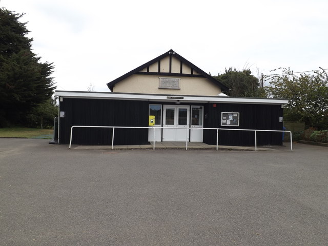
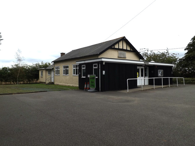
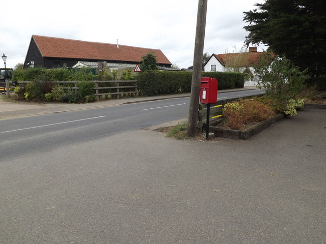
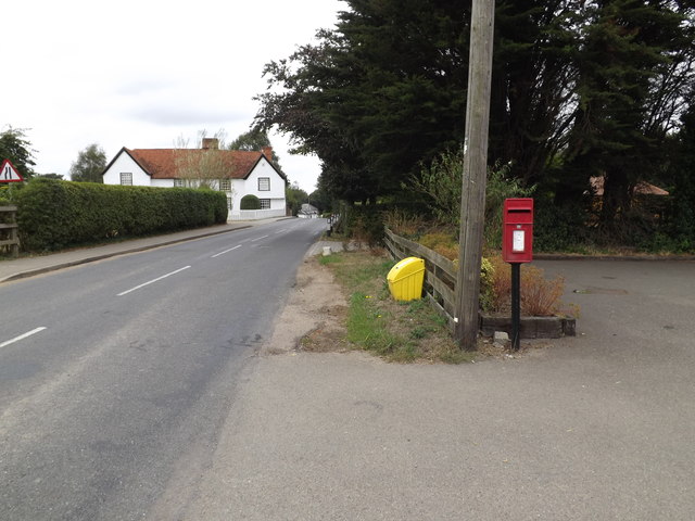
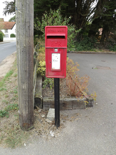
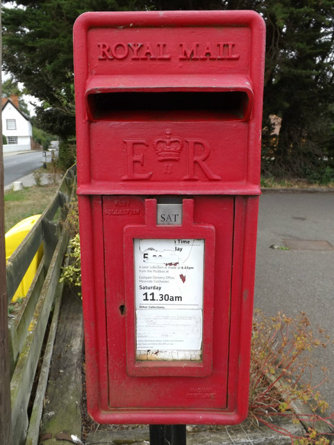
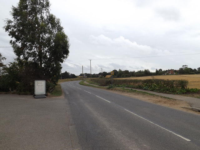
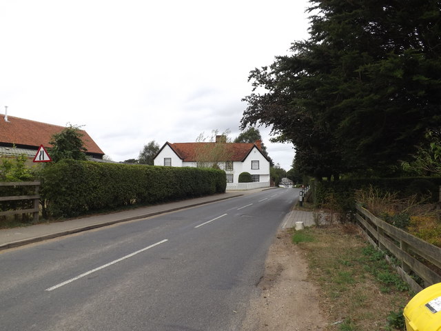
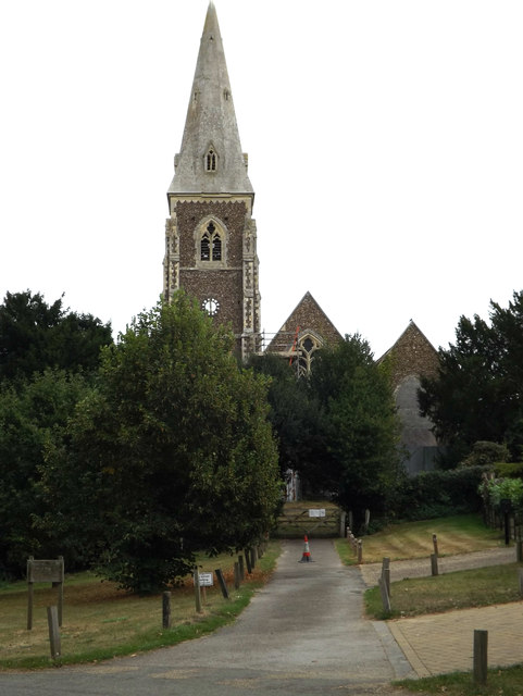
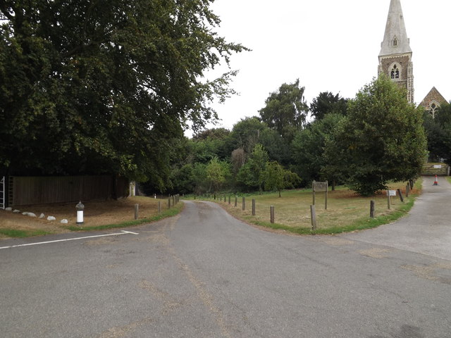
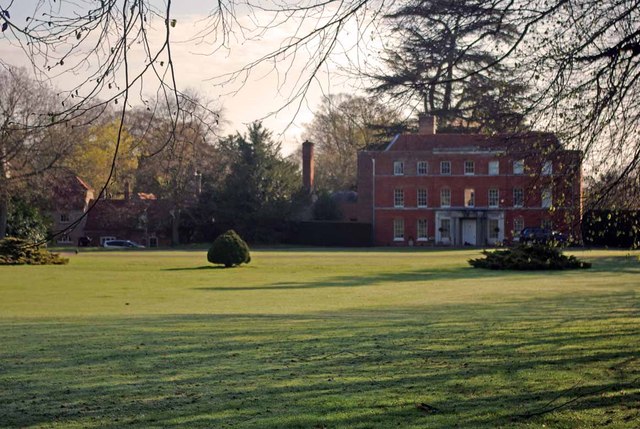
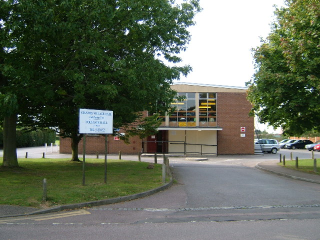
Bridge Covert Images
Images are sourced within 2km of 51.859685/0.82820398 or Grid Reference TL9421. Thanks to Geograph Open Source API. All images are credited.
Bridge Covert is located at Grid Ref: TL9421 (Lat: 51.859685, Lng: 0.82820398)
Administrative County: Essex
District: Colchester
Police Authority: Essex
What 3 Words
///dolphins.greyhound.mango. Near Layer de la Haye, Essex
Nearby Locations
Related Wikis

Heckfordbridge
Heckfordbridge or Heckford is a hamlet in the civil parish of Birch, in the county of Essex, England. The settlement is on the B1022 road, between Colchester...

Colchester Zoo
Colchester Zoo is a zoological garden situated near Colchester, England. The zoo opened in 1963 and celebrated its 60th anniversary on 2 June 2023. It...

Birch, Essex
Birch is a village and civil parish in the City of Colchester district of Essex, England. It is located approximately 5 miles (8 km) south-west of Colchester...
Copford Hall
Copford Hall is a manorial seat and Grade II listed country house, with gardens by Capability Brown, in the village of Copford, Essex, England, 46 miles...

Hardy's Green
Hardy's Green is a hamlet in civil parish of Birch in the Colchester district, in the county of Essex, England. Nearby settlements include the large town...

Copford Green
Copford Green is a hamlet within the civil parish of Copford and the district of Colchester in Essex, England. It is near the A12 and A120 roads, and is...
Stanway, Essex
Stanway is a village and civil parish in Essex, England near Colchester and within Colchester Borough. 'Stanway' is an Anglo-Saxon name for the 'stone...

Stanway Pegasus F.C.
Stanway Pegasus Football Club is a football club based in Stanway, England. They are currently members of the Eastern Counties League Division One North...
Nearby Amenities
Located within 500m of 51.859685,0.82820398Have you been to Bridge Covert?
Leave your review of Bridge Covert below (or comments, questions and feedback).