Jubilee Wood

Wood, Forest in Suffolk Babergh

England

Jubilee Wood

Footpath on Field Boundary, Thorpe Green The path leads to Bull's Wood Nature Reserve - <a href="https://www.geograph.org.uk/photo/7477940">TL9254 : Path in Bull's Wood, Cockfield</a>
Footpath on Field Boundary, Thorpe Green Credit: Roger Jones

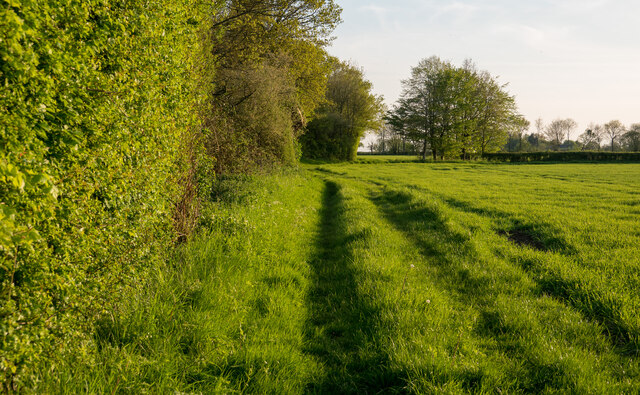
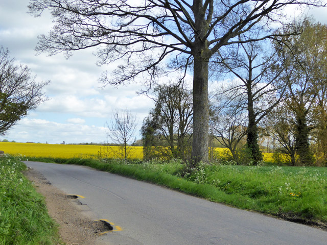
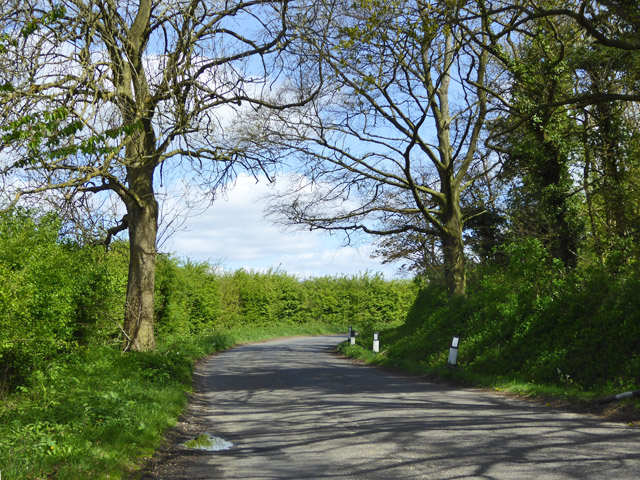
Jubilee Wood is a picturesque woodland located in Suffolk, England. Covering an area of approximately 20 acres, it is a captivating mix of ancient and newly planted trees, creating a diverse and thriving ecosystem.

The wood was established in 2012 as part of the Queen's Diamond Jubilee celebrations, hence its name. It was created with the aim of providing a beautiful and peaceful space for both locals and visitors to enjoy and appreciate nature. The wood is easily accessible, located near the town of Ipswich, and offers ample parking facilities.

As visitors enter Jubilee Wood, they are greeted by a stunning display of bluebells in the spring, creating a carpet of vibrant colors. Throughout the year, the wood offers an ever-changing landscape, with native trees such as oak, birch, and beech providing shade and shelter for a variety of wildlife.

The wood is home to a rich array of flora and fauna. Visitors may spot deer, rabbits, and squirrels, along with a wide range of bird species including woodpeckers, owls, and thrushes. Additionally, the woodland floor bursts with an abundance of wildflowers, adding to the charm and beauty of the area.

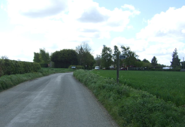
Jubilee Wood also provides a network of footpaths and trails, allowing visitors to explore its scenic surroundings. These paths are well-maintained and offer stunning views of the surrounding countryside, making it an ideal destination for walkers, nature enthusiasts, and families alike.

Overall, Jubilee Wood is a sanctuary of natural beauty, offering a tranquil escape from the hustle and bustle of everyday life. It provides a valuable habitat for wildlife and serves as a cherished recreational space for the local community and visitors to enjoy.

If you have any feedback on the listing, please let us know in the comments section below.
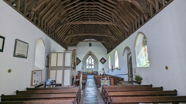
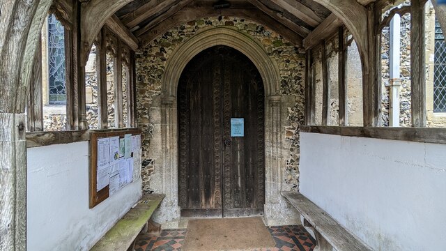
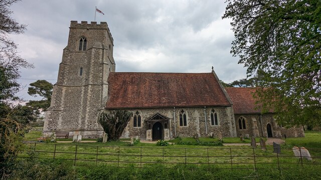
Jubilee Wood Images

Images are sourced within 2km of 52.149146/0.84644759 or Grid Reference TL9453. Thanks to Geograph Open Source API. All images are credited.

Footpath on Field Boundary, Thorpe Green The path leads to Bull's Wood Nature Reserve - <a href="https://www.geograph.org.uk/photo/7477940">TL9254 : Path in Bull's Wood, Cockfield</a>
Footpath on Field Boundary, Thorpe Green
The path leads to Bull's Wood Nature Reserve - TL9254 : Path in Bull's Wood, Cockfield
Church of St Mary the Virgin, Brettenham <span class="nowrap"><a title="https://historicengland.org.uk/listing/the-list/list-entry/1037350?section=official-list-entry" rel="nofollow ugc noopener" href="https://historicengland.org.uk/listing/the-list/list-entry/1037350?section=official-list-entry">Link</a><img style="margin-left:2px;" alt="External link" title="External link - shift click to open in new window" src="https://s1.geograph.org.uk/img/external.png" width="10" height="10"/></span>
Church of St Mary the Virgin, Brettenham
Church of St Mary the Virgin, Thorpe Morieux <span class="nowrap"><a title="https://historicengland.org.uk/listing/the-list/list-entry/1351578?section=official-list-entry" rel="nofollow ugc noopener" href="https://historicengland.org.uk/listing/the-list/list-entry/1351578?section=official-list-entry">Link</a><img style="margin-left:2px;" alt="External link" title="External link - shift click to open in new window" src="https://s1.geograph.org.uk/img/external.png" width="10" height="10"/></span>
Church of St Mary the Virgin, Thorpe Morieux
Font in Church of St Mary the Virgin, Thorpe Morieux <span class="nowrap"><a title="https://historicengland.org.uk/listing/the-list/list-entry/1351578?section=official-list-entry" rel="nofollow ugc noopener" href="https://historicengland.org.uk/listing/the-list/list-entry/1351578?section=official-list-entry">Link</a><img style="margin-left:2px;" alt="External link" title="External link - shift click to open in new window" src="https://s1.geograph.org.uk/img/external.png" width="10" height="10"/></span>
Font in Church of St Mary the Virgin, Thorpe Morieux
Interior of Church of St Mary the Virgin, Thorpe Morieux <span class="nowrap"><a title="https://historicengland.org.uk/listing/the-list/list-entry/1351578?section=official-list-entry" rel="nofollow ugc noopener" href="https://historicengland.org.uk/listing/the-list/list-entry/1351578?section=official-list-entry">Link</a><img style="margin-left:2px;" alt="External link" title="External link - shift click to open in new window" src="https://s1.geograph.org.uk/img/external.png" width="10" height="10"/></span>
Interior of Church of St Mary the Virgin, Thorpe Morieux
Doorway into Church of St Mary the Virgin, Thorpe Morieux <span class="nowrap"><a title="https://historicengland.org.uk/listing/the-list/list-entry/1351578?section=official-list-entry" rel="nofollow ugc noopener" href="https://historicengland.org.uk/listing/the-list/list-entry/1351578?section=official-list-entry">Link</a><img style="margin-left:2px;" alt="External link" title="External link - shift click to open in new window" src="https://s1.geograph.org.uk/img/external.png" width="10" height="10"/></span>
Doorway into Church of St Mary the Virgin, Thorpe Morieux
Church of St Mary the Virgin, Thorpe Morieux <span class="nowrap"><a title="https://historicengland.org.uk/listing/the-list/list-entry/1351578?section=official-list-entry" rel="nofollow ugc noopener" href="https://historicengland.org.uk/listing/the-list/list-entry/1351578?section=official-list-entry">Link</a><img style="margin-left:2px;" alt="External link" title="External link - shift click to open in new window" src="https://s1.geograph.org.uk/img/external.png" width="10" height="10"/></span>
Church of St Mary the Virgin, Thorpe Morieux
Marked potholes at lane edge On the lane towards Brettenham.
Marked potholes at lane edge
On the lane towards Brettenham.
Bend on lane towards Brettenham
Crop field towards Spains Plantation
Footpath off Church Road north of Brettenham
Entering Brettenham Heading south on Church Road.
Entering Brettenham
Heading south on Church Road.
Pond, Cock Farm, Brettenham
St. Mary's Church, Brettenham
House on The Street, Brettenham
Crop field off The Street, Brettenham
The Street, Brettenham Looking south west.
The Street, Brettenham
Looking south west.
Village Hall, Brettenham
Show me another place!

Jubilee Wood is located at Grid Ref: TL9453 (Lat: 52.149146, Lng: 0.84644759)

Administrative County: Suffolk

District: Babergh

Police Authority: Suffolk

What 3 Words

///annoys.nourished.windy. Near Lavenham, Suffolk

Related Wikis

Thorpe Morieux

Thorpe Morieux ( MÉ™-ROO) is a small village and civil parish in Suffolk, England. It is 10 miles south-east of Bury St Edmunds and 10 miles north east...

Thorpe Morieux Woods

Thorpe Morieux Woods is a 45.2-hectare (112-acre) biological Site of Special Scientific Interest north of Thorpe Morieux in Suffolk. Part of it is Bull...

Old Buckenham Hall School

Old Buckenham Hall School (commonly known as OBH) is a day and boarding preparatory school with pre-prep for boys and girls in the village of Brettenham...

Brettenham, Suffolk

Brettenham is a village and civil parish in the Babergh district of Suffolk, England. In 2005 it had a population of 270, increasing to 353 at the 2011...

Centre Academy East Anglia

Centre Academy East Anglia, formerly known as The Old Rectory School is a private special school in Brettenham, Suffolk, England, founded in 1981. The...

RAF Rattlesden

Royal Air Force Rattlesden or more simply RAF Rattlesden is a former Royal Air Force station located 9 miles (14 km) south east of Bury St Edmunds, Suffolk...

Felsham

Felsham is a village and civil parish in the Mid Suffolk district of Suffolk in eastern England. In 2005 its population was 420. == History == The origin...

Bull's Wood

Bull's Wood is a 12 hectare nature reserve east of Cockfield in Suffolk, England. It is managed by the Suffolk Wildlife Trust, and is part of the Thorpe...

Have you been to Jubilee Wood?

Leave your review of Jubilee Wood below (or comments, questions and feedback).