Leadenhall Wood

Wood, Forest in Suffolk Babergh

England

Leadenhall Wood

High Road & Kingland Lane Postbox At the junction with Kingsland Lane
Postbox No.CO6 351
Road No.U8611
High Road & Kingland Lane Postbox Credit: Geographer

The requested URL returned error: 429 Too Many Requests

If you have any feedback on the listing, please let us know in the comments section below.

Leadenhall Wood Images

Images are sourced within 2km of 51.997444/0.83653287 or Grid Reference TL9437. Thanks to Geograph Open Source API. All images are credited.

High Road & Kingland Lane Postbox At the junction with Kingsland Lane
Postbox No.CO6 351
Road No.U8611
High Road & Kingland Lane Postbox
At the junction with Kingsland Lane Postbox No.CO6 351 Road No.U8611
Kingland Lane Postbox On High Road at the junction with Kingsland Lane
Postbox No.CO6 351
Kingland Lane Postbox
On High Road at the junction with Kingsland Lane Postbox No.CO6 351
Kingland Lane Postbox On High Road at the junction with Kingsland Lane
Postbox No.CO6 351
Kingland Lane Postbox
On High Road at the junction with Kingsland Lane Postbox No.CO6 351
Wrights Way, Leavenheath At the junction with High Road
Road No.U8612
Wrights Way, Leavenheath
At the junction with High Road Road No.U8612
Kingsland Lane Byway to Crawley Road At the junction with High Road
Leavenheath Byway No.19
Kingsland Lane Byway to Crawley Road
At the junction with High Road Leavenheath Byway No.19
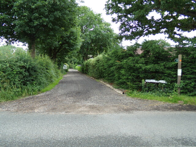
Kingsland Lane sign On Kingsland Lane at the junction with High Road
Leavenheath Byway No.19
Kingsland Lane sign
On Kingsland Lane at the junction with High Road Leavenheath Byway No.19
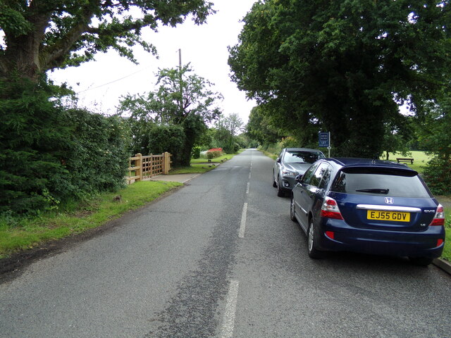
High Road, Leavenheath At the junction with Kingsland Lane
Road No.U8611
High Road, Leavenheath
At the junction with Kingsland Lane Road No.U8611
High Road, Leavenheath At the junction with Wrights Way
Road No.U8611
High Road, Leavenheath
At the junction with Wrights Way Road No.U8611
Wrights Way sign On Wrights Way at the junction with High Road
Road No.U8612
Wrights Way sign
On Wrights Way at the junction with High Road Road No.U8612
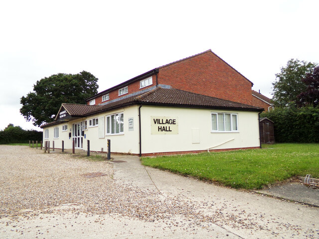
Leavenheath Village Hall Off Wrights Way
<span class="nowrap"><a title="http://www.leavenheath.org.uk/" rel="nofollow ugc noopener" href="http://www.leavenheath.org.uk/">Link</a><img style="margin-left:2px;" alt="External link" title="External link - shift click to open in new window" src="https://s1.geograph.org.uk/img/external.png" width="10" height="10"/></span>
Leavenheath Village Hall
Off Wrights Way LinkExternal link
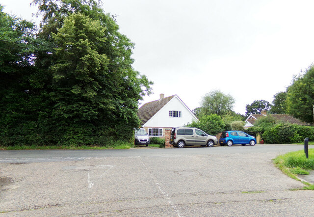
Wrights Way, Leavenheath At the junction with High Road
Road No.U8612
Wrights Way, Leavenheath
At the junction with High Road Road No.U8612
High Road, Leavenheath At the junction with the A134 Honey Tye
Road No.U8611
High Road, Leavenheath
At the junction with the A134 Honey Tye Road No.U8611
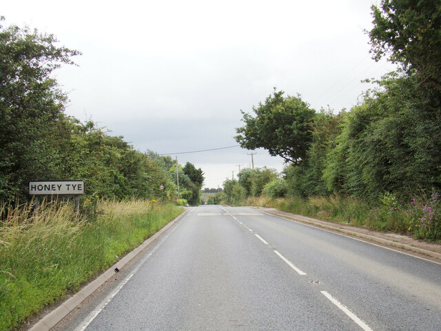
Entering Honey Tye on the A134 Honey Tye Honey Tye is a hamlet in Leavenheath
Entering Honey Tye on the A134 Honey Tye
Honey Tye is a hamlet in Leavenheath
Honey Tye Village Name sign On the A134 Honey Tye
Honey Tye Village Name sign
On the A134 Honey Tye
Kingland Lane Postbox On High Road at the junction with Kingsland Lane
Postbox No.CO6 351
Kingland Lane Postbox
On High Road at the junction with Kingsland Lane Postbox No.CO6 351
Kingland Lane Postbox On High Road at the junction with Kingsland Lane
Postbox No.CO6 351
Kingland Lane Postbox
On High Road at the junction with Kingsland Lane Postbox No.CO6 351
High Road, Leavenheath At the junction with the A134 Honey Tye
Road No.U8611
High Road, Leavenheath
At the junction with the A134 Honey Tye Road No.U8611
Show me another place!

Leadenhall Wood is located at Grid Ref: TL9437 (Lat: 51.997444, Lng: 0.83653287)

Administrative County: Suffolk

District: Babergh

Police Authority: Suffolk

What 3 Words

///isolated.flamenco.intervals. Near Bures St Mary, Suffolk

Nearby Locations

Leadenhall Wood

Related Wikis

Leavenheath

Leavenheath is a village and civil parish in Suffolk, England, close to the Essex border. Located on the A134 between Sudbury and Colchester, it is part...

Assington

Assington is a village in Suffolk, England, 4 miles (6.4 km) south-east of Sudbury. At the 2011 Census it had a population of 402, estimated at 445 in...

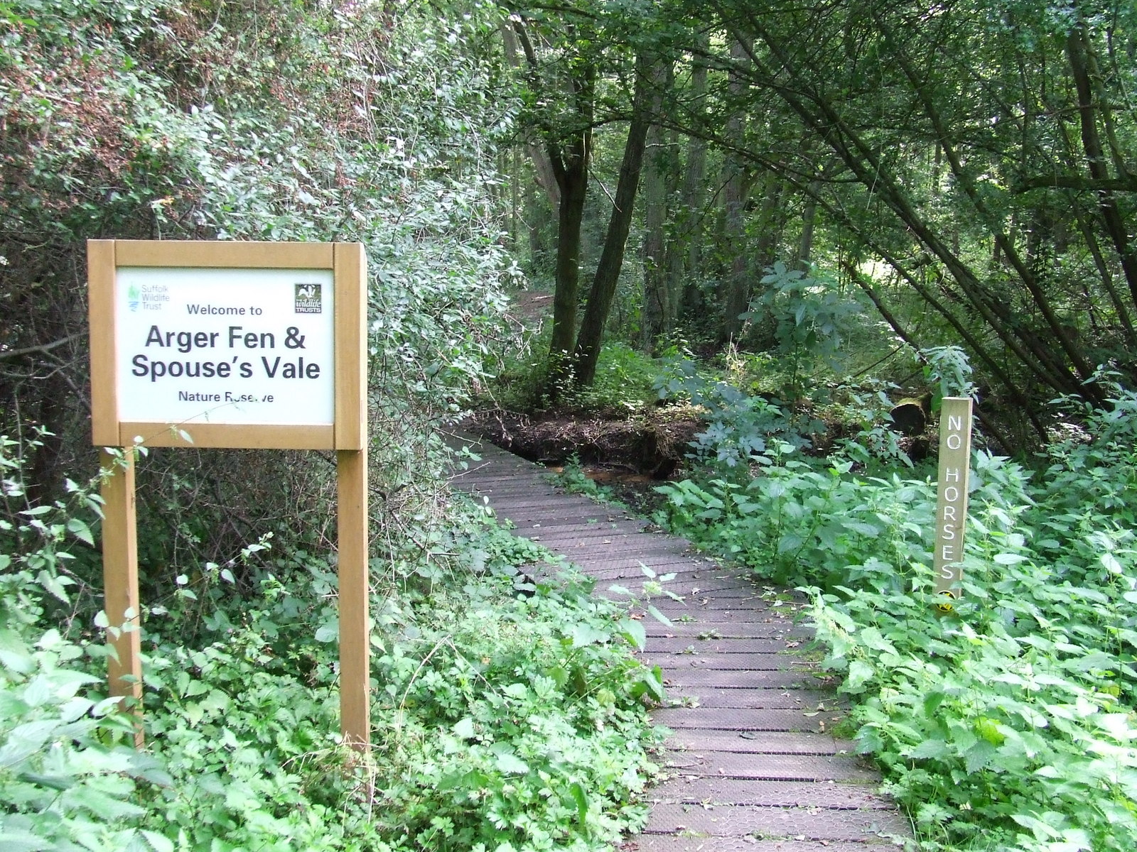
Arger Fen

Arger Fen is a 49.7-hectare (123-acre) biological Site of Special Scientific Interest (SSSI) south-east of Sudbury in Suffolk, England. The site occupies...

Hagmore Green

Hagmore Green is a hamlet in the civil parish of Boxford, in the Babergh district, in the county of Suffolk, England. The nearest village is Boxford, the...

Nearby Amenities

Located within 500m of 51.997444,0.83653287
Turning Circle
Lat/Long: 52.0000527/0.8408901
The data included in this document is from www.openstreetmap.org. The data is made available under ODbL.

Have you been to Leadenhall Wood?

Leave your review of Leadenhall Wood below (or comments, questions and feedback).