Cowper's Wood
Wood, Forest in Suffolk Babergh
England
Cowper's Wood

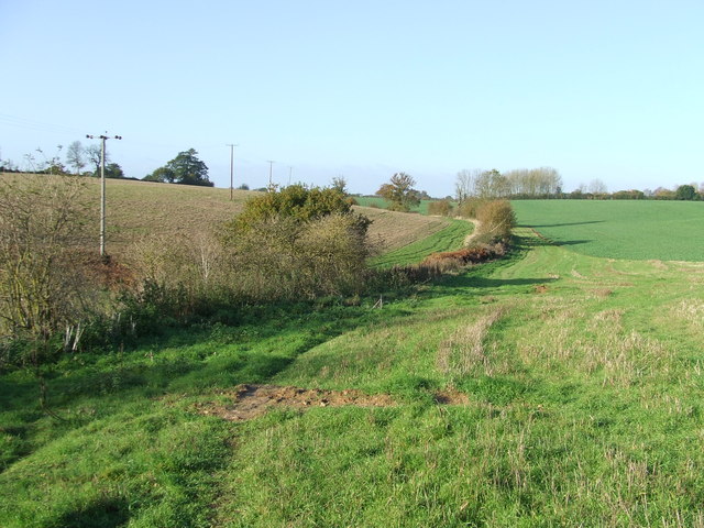
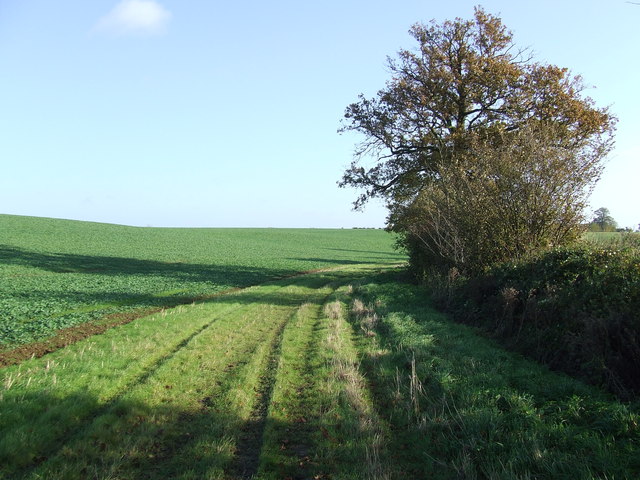
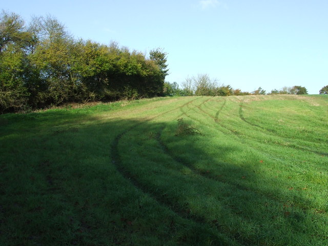
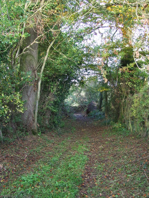
Cowper's Wood is a picturesque forest located in the county of Suffolk, England. Situated near the village of Cowper, the wood spans across an area of approximately 200 acres, making it a substantial and notable woodland in the region. The forest is renowned for its natural beauty and diverse ecosystem, attracting nature enthusiasts and outdoor lovers alike.
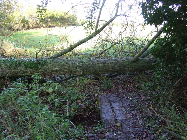
The woodland is primarily composed of a mix of broadleaf and coniferous trees, including oak, beech, pine, and spruce, which create a dense and lush canopy. These trees provide a habitat for a variety of wildlife species, including rabbits, foxes, deer, and a wide range of bird species. Birdwatchers can spot woodpeckers, owls, and various migratory birds in the area.
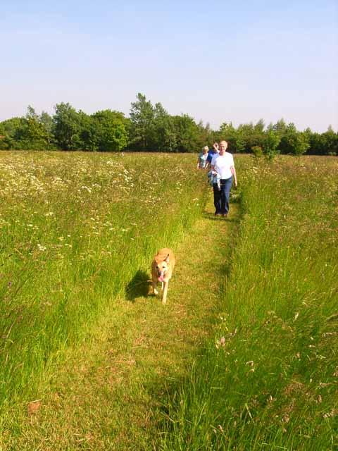
Cowper's Wood offers visitors numerous recreational activities, making it a popular spot for locals and tourists. There are several well-maintained walking trails that wind through the forest, allowing visitors to immerse themselves in the tranquil surroundings while enjoying a leisurely stroll or a more vigorous hike. The forest is also equipped with picnic areas and benches, providing an ideal setting for a family day out or a peaceful picnic amidst nature's serenity.
With its stunning natural landscapes, vibrant flora and fauna, and a range of outdoor activities, Cowper's Wood is a beloved destination for those seeking to escape the hustle and bustle of city life and reconnect with nature. Whether it's a leisurely walk, birdwatching, or simply enjoying a moment of tranquility, Cowper's Wood offers something for everyone to enjoy in the heart of Suffolk.
If you have any feedback on the listing, please let us know in the comments section below.
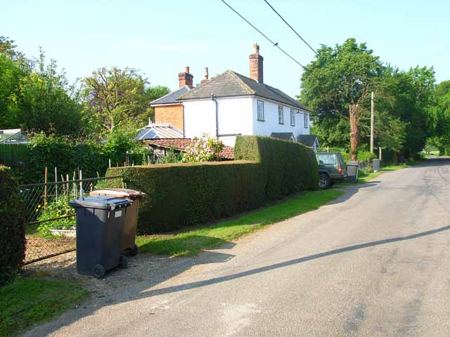
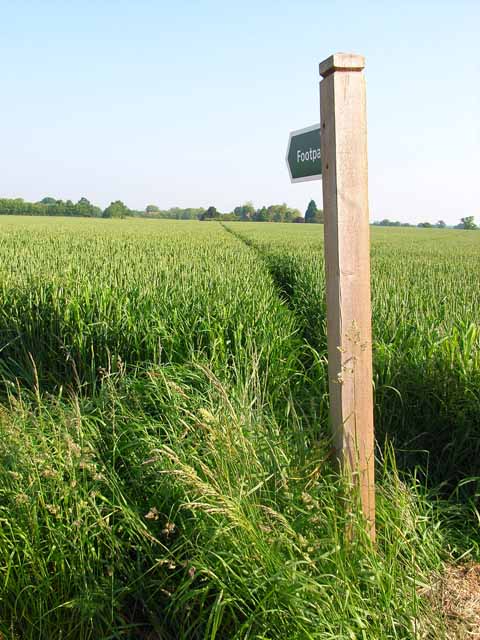
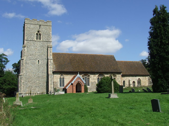
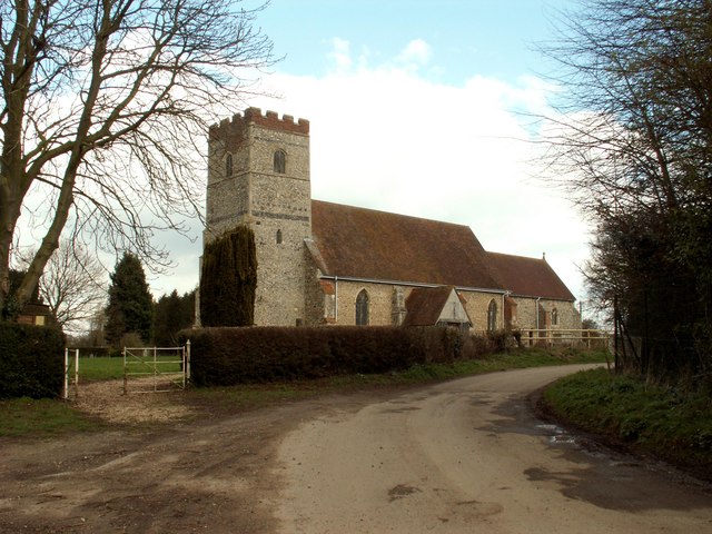
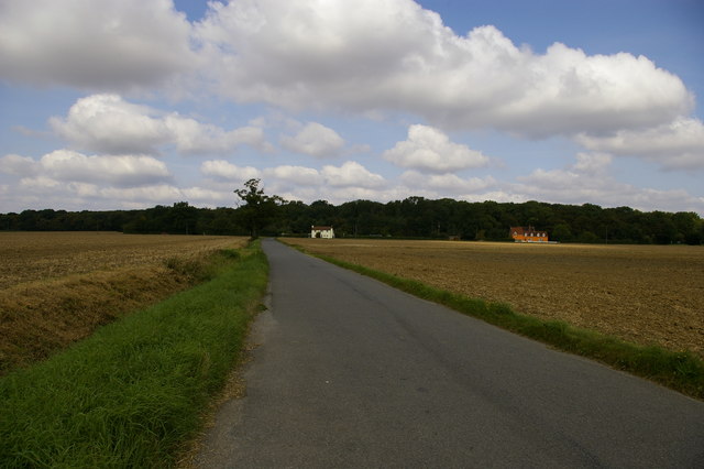
Cowper's Wood Images
Images are sourced within 2km of 52.036323/0.83537814 or Grid Reference TL9441. Thanks to Geograph Open Source API. All images are credited.


Cowper's Wood is located at Grid Ref: TL9441 (Lat: 52.036323, Lng: 0.83537814)
Administrative County: Suffolk
District: Babergh
Police Authority: Suffolk
What 3 Words
///mime.fruitcake.recorders. Near Great Waldingfield, Suffolk
Nearby Locations
Related Wikis
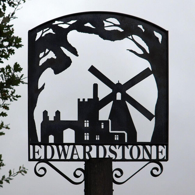
Edwardstone
Edwardstone is a village and civil parish in the Babergh district, in the county of Suffolk, England. The parish contains the hamlets of Mill Green, Priory...

Groton, Suffolk
Groton is a village and civil parish in the Babergh district, Suffolk, England, located around a mile north of the A1071 between Hadleigh and Sudbury....

Edwardstone Woods
Edwardstone Woods is a 27 hectare biological Site of Special Scientific Interest near Edwardstone in Suffolk, England. It is in four areas, Park Wood with...

Boxford, Suffolk
Boxford is a large village and civil parish in the Babergh district of Suffolk, England. Located around six miles east of Sudbury straddling the River...

Hagmore Green
Hagmore Green is a hamlet in the civil parish of Boxford, in the Babergh district, in the county of Suffolk, England. The nearest village is Boxford, the...
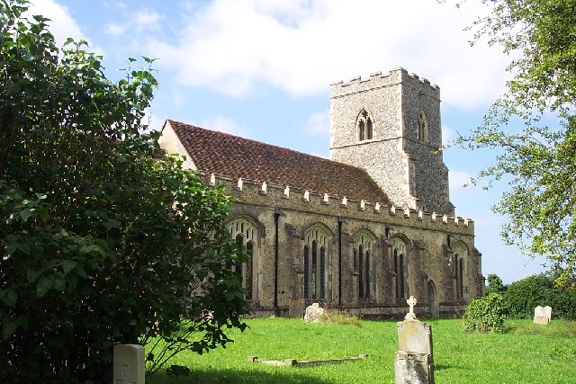
All Saints Church, Newton Green
All Saints Church is a partly redundant Anglican church in the village of Newton Green, Suffolk, England. It is recorded in the National Heritage List...
Milden Thicks
Milden Thicks is a 42.3-hectare (105-acre) biological Site of Special Scientific Interest east of Great Waldingfield in Suffolk, England. It is in four...
Newton, Suffolk
Newton, also known as Newton Green to distinguish it from Nowton near Bury St Edmunds, and Old Newton near Stowmarket, is a small village and civil parish...
Nearby Amenities
Located within 500m of 52.036323,0.83537814Have you been to Cowper's Wood?
Leave your review of Cowper's Wood below (or comments, questions and feedback).