Beechbanks Woods

Wood, Forest in Kent Maidstone

England

Beechbanks Woods

Water Tower, Warren Street Viewed from Raynors Hill.
Water Tower, Warren Street Credit: pam fray

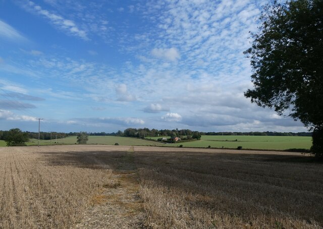
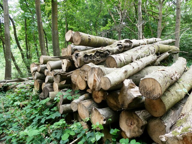
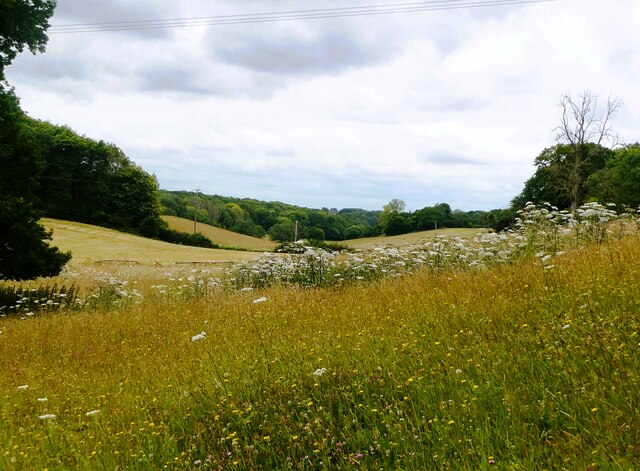
Beechbanks Woods, located in Kent, England, is a picturesque woodland area renowned for its natural beauty and diverse ecosystem. Spanning over a vast area, the woods are composed primarily of beech trees, which dominate the landscape and provide a dense canopy of foliage. This creates a serene and enchanting atmosphere for visitors to enjoy.

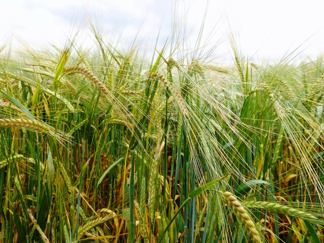
The woods boast an impressive biodiversity, hosting a wide array of flora and fauna. Visitors can expect to encounter various bird species such as woodpeckers, nuthatches, and owls, their melodic calls echoing through the trees. The forest floor is adorned with a rich carpet of wildflowers, including bluebells, primroses, and foxgloves, adding vibrant splashes of color to the verdant surroundings.

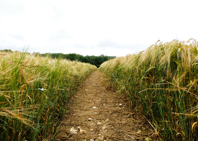
Beechbanks Woods offers a range of recreational activities for nature enthusiasts and families alike. There are several walking trails that wind through the woods, allowing visitors to explore the different sections and discover hidden gems along the way. These trails are well-maintained, making it accessible for all ages and fitness levels.

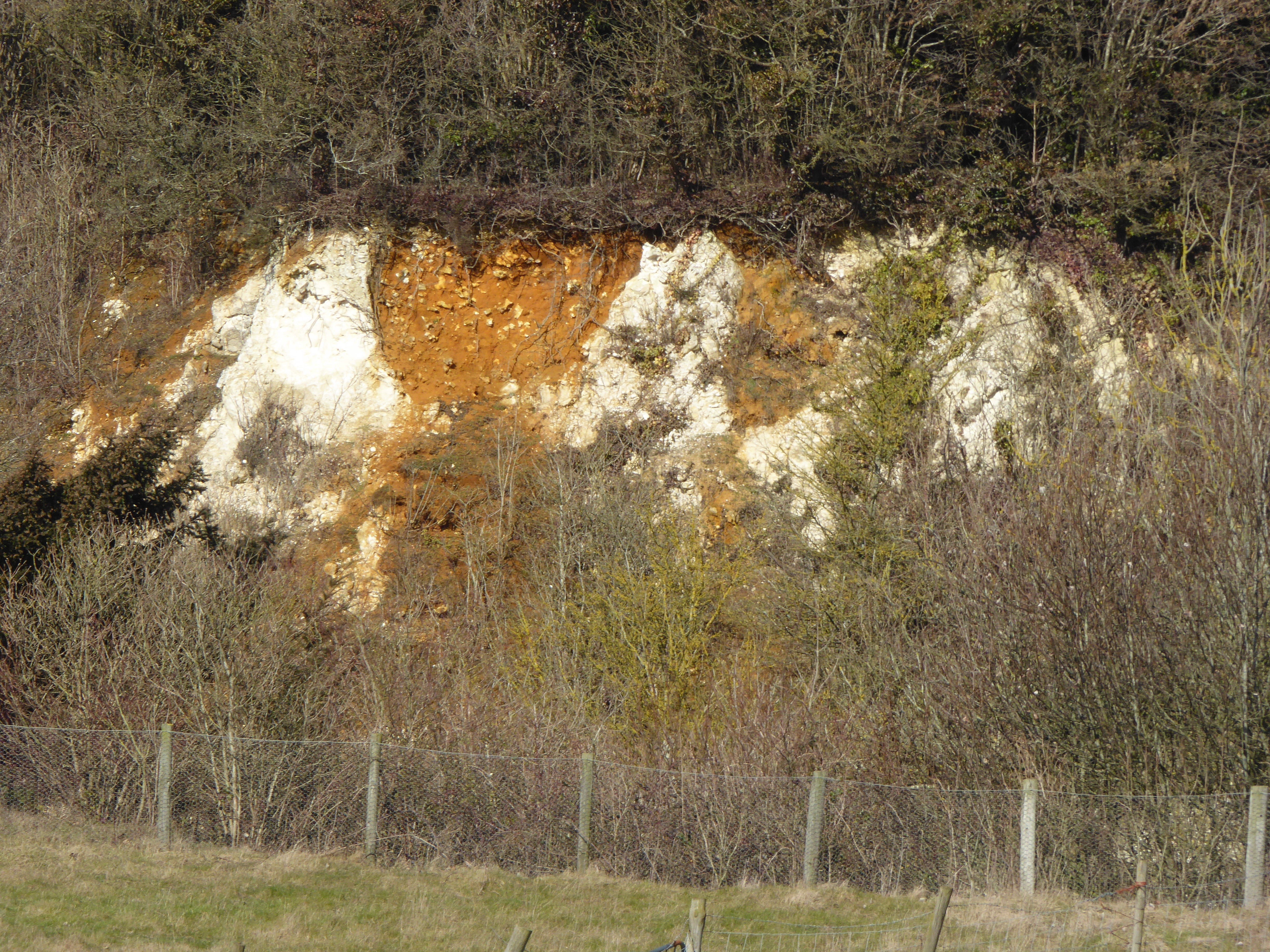
In addition to its natural beauty, Beechbanks Woods holds historical significance. The woods have been a part of the local landscape for centuries, with remnants of old structures and artifacts scattered throughout. Exploring the woods can provide a glimpse into the region's past and the lives of those who once inhabited the area.

Overall, Beechbanks Woods is a captivating natural haven that offers both tranquility and adventure. Its unique blend of stunning landscapes, diverse wildlife, and rich history make it a must-visit destination for anyone seeking solace in nature.

If you have any feedback on the listing, please let us know in the comments section below.

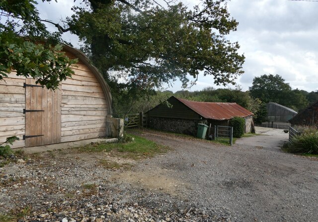
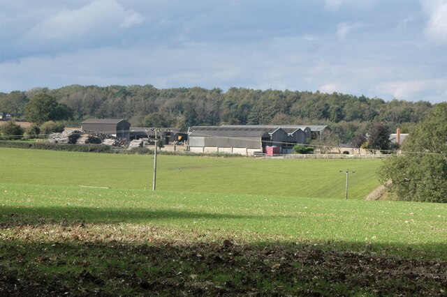
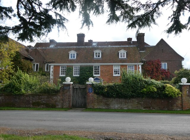
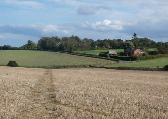
Beechbanks Woods Images

Images are sourced within 2km of 51.240589/0.78371494 or Grid Reference TQ9452. Thanks to Geograph Open Source API. All images are credited.

Water Tower, Warren Street Viewed from Raynors Hill.
Water Tower, Warren Street
Viewed from Raynors Hill.
Water tower, Warren Street Viewed from Raynors Hill.
Water tower, Warren Street
Viewed from Raynors Hill.
Byway by Waterditch Farm The path runs between Waterditch Road and the North Downs Way.
Byway by Waterditch Farm
The path runs between Waterditch Road and the North Downs Way.
Cuckoo Wood Farm,  near Warren Street On Cold Harbour Road.
Cuckoo Wood Farm, near Warren Street
On Cold Harbour Road.
Hurst Farm, east of Warren Street Viewed from Bunce Court Road.
Hurst Farm, east of Warren Street
Viewed from Bunce Court Road.
Bunce Court Old House, near Warren Street On Bunce Court Road.
Bunce Court Old House, near Warren Street
On Bunce Court Road.
Plaque to Anna Essinger, Bunce Court Erected by the Association of Jewish Refugees. <span class="nowrap"><a title="https://en.wikipedia.org/wiki/Anna_Essinger" rel="nofollow ugc noopener" href="https://en.wikipedia.org/wiki/Anna_Essinger">Link</a><img style="margin-left:2px;" alt="External link" title="External link - shift click to open in new window" src="https://s1.geograph.org.uk/img/external.png" width="10" height="10"/></span>
Plaque to Anna Essinger, Bunce Court
Erected by the Association of Jewish Refugees. LinkExternal link
Bunce Court Road Leading to Warren Street.
Bunce Court Road
Leading to Warren Street.
Footpath running between Bunce Court Road and Warren Street Blossomer House is on the right.
Footpath running between Bunce Court Road and Warren Street
Blossomer House is on the right.
Footpath running between Bunce Court Road and Warren Street Blossomer House is in the distance.
Footpath running between Bunce Court Road and Warren Street
Blossomer House is in the distance.
North Downs Way Looking along the North Downs Way near Charing.
North Downs Way
Looking along the North Downs Way near Charing.
Pilgrim's Way at Cobham Farm The Pilgrim's Way was an ancient trackway used as a trading route by prehistoric people. It has been dated by archaeological finds to 500–450 BC, but probably has been in existence since the Stone Age. It is also supposed to be the historic route taken by pilgrims from Winchester to the shrine of Thomas Becket at Canterbury. It certainly was one of them but not the only one. Parts of it, as here, are followed by the North Downs Way.

Cobham Farm is approached here. The barn seems to be becoming increasingly derelict.
Pilgrim's Way at Cobham Farm
The Pilgrim's Way was an ancient trackway used as a trading route by prehistoric people. It has been dated by archaeological finds to 500–450 BC, but probably has been in existence since the Stone Age. It is also supposed to be the historic route taken by pilgrims from Winchester to the shrine of Thomas Becket at Canterbury. It certainly was one of them but not the only one. Parts of it, as here, are followed by the North Downs Way. Cobham Farm is approached here. The barn seems to be becoming increasingly derelict.
The North Downs Way near Lenham The Pilgrim's Way was an ancient trackway used as a trading route by prehistoric people. It has been dated by archaeological finds to 500–450 BC, but probably has been in existence since the Stone Age. It is also supposed to be the historic route taken by pilgrims from Winchester to the shrine of Thomas Becket at Canterbury. It certainly was one of them but not the only one. Parts of it, as here, are followed by the North Downs Way.
The North Downs Way near Lenham
The Pilgrim's Way was an ancient trackway used as a trading route by prehistoric people. It has been dated by archaeological finds to 500–450 BC, but probably has been in existence since the Stone Age. It is also supposed to be the historic route taken by pilgrims from Winchester to the shrine of Thomas Becket at Canterbury. It certainly was one of them but not the only one. Parts of it, as here, are followed by the North Downs Way.
Track leading off the North Downs Way near Lenham The Pilgrim's Way was an ancient trackway used as a trading route by prehistoric people. It has been dated by archaeological finds to 500–450 BC, but probably has been in existence since the Stone Age. It is also supposed to be the historic route taken by pilgrims from Winchester to the shrine of Thomas Becket at Canterbury. It certainly was one of them but not the only one. Parts of it, as here, are followed by the North Downs Way.

This track leads uphill to Waterditch Farm.
Track leading off the North Downs Way near Lenham
The Pilgrim's Way was an ancient trackway used as a trading route by prehistoric people. It has been dated by archaeological finds to 500–450 BC, but probably has been in existence since the Stone Age. It is also supposed to be the historic route taken by pilgrims from Winchester to the shrine of Thomas Becket at Canterbury. It certainly was one of them but not the only one. Parts of it, as here, are followed by the North Downs Way. This track leads uphill to Waterditch Farm.
Felled trees in Spuckles Wood, Stalisfield Kent Wildlife Trust is identifying ash trees affected by the ash die back fungal disease and managing the trees that present the greatest risk to public safety              in Spuckles, Kennelling and Bowls Woods.
Felled trees in Spuckles Wood, Stalisfield
Kent Wildlife Trust is identifying ash trees affected by the ash die back fungal disease and managing the trees that present the greatest risk to public safety in Spuckles, Kennelling and Bowls Woods.
Footpath through a barley field, Stalisfield The path runs between Thorneycroft Road and Church Road.
Footpath through a barley field, Stalisfield
The path runs between Thorneycroft Road and Church Road.
Crop of barley, Stalisfield East of Spuckles Wood.
Crop of barley, Stalisfield
East of Spuckles Wood.
Farmland, Stalisfield Looking towards Hillside Road.
Farmland, Stalisfield
Looking towards Hillside Road.
Show me another place!

Beechbanks Woods is located at Grid Ref: TQ9452 (Lat: 51.240589, Lng: 0.78371494)

Administrative County: Kent

District: Maidstone

Police Authority: Kent

What 3 Words

///stray.asking.distorts. Near Charing, Kent

Related Wikis

Otterden

Otterden is a civil parish and village on the Kent Downs in the borough of Maidstone in Kent, England. == History == Otterden is mentioned in the Domesday...

Bunce Court School

The Bunce Court School was an independent, private boarding school in the village of Otterden, in Kent, England. It was founded in 1933 by Anna Essinger...

Spuckles and Kennelling Woods

Spuckles and Kennelling Woods is a 20-hectare (49-acre) nature reserve north of Charing in Kent. It is managed by Kent Wildlife Trust. It is in the Kent...

Faversham and Mid Kent (UK Parliament constituency)

Faversham and Mid Kent is a constituency represented in the House of Commons of the UK Parliament. Since 2015, the seat has been held by Helen Whately...

Stalisfield

Stalisfield is a village in the borough of Swale in Kent, England, located on a secondary road about 1½ miles (2.4 km) north of Charing and 5 miles south...

Hart Hill, Kent

Hart Hill is a 1.4-hectare (3.5-acre) geological Site of Special Scientific Interest north-west of Charing Kent. It is a Geological Conservation Review...

Charing Windmill

Charing Windmill is a Grade II listed smock windmill, now converted to a house, on Charing Hill in Kent in southeast England. It is sometimes known as...

Lenham Quarry

Lenham Quarry is a 4-hectare (9.9-acre) geological Site of Special Scientific Interest east of Lenham in Kent. It is a Geological Conservation Review site...

Nearby Amenities

Located within 500m of 51.240589,0.78371494
Barrier: kissing_gate
Foot: yes
Lat/Long: 51.2368355/0.7862076
Riggshill Farm
Building: farm
Lat/Long: 51.2389889/0.7881199
Railway: level_crossing
Lat/Long: 51.2416909/0.7848548
The data included in this document is from www.openstreetmap.org. The data is made available under ODbL.

Have you been to Beechbanks Woods?

Leave your review of Beechbanks Woods below (or comments, questions and feedback).