Hanging Mire Plantation
Wood, Forest in Norfolk North Norfolk
England
Hanging Mire Plantation
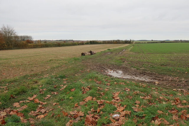
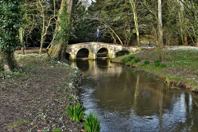
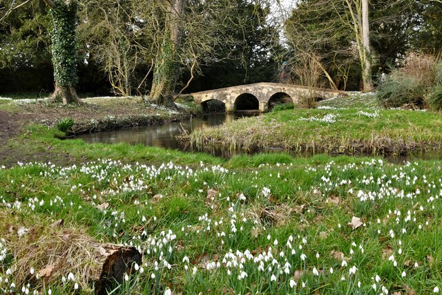
Hanging Mire Plantation is a picturesque woodland located in Norfolk, England. Nestled in the heart of the countryside, this enchanting forest spans across a vast area of approximately 200 acres. The plantation is characterized by its diverse mix of deciduous and coniferous trees, creating a rich and vibrant ecosystem.
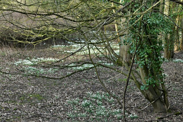
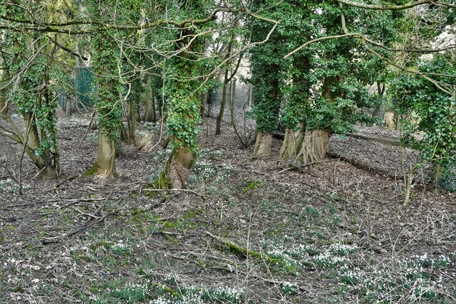
The woodland is home to a plethora of plant and animal species, offering a haven for wildlife enthusiasts and nature lovers alike. Among the towering oak, beech, and ash trees, visitors can spot a variety of birds, including woodpeckers, owls, and thrushes. The forest floor is adorned with a carpet of bluebells during the spring, creating a breathtaking sight for those lucky enough to witness it.
Hanging Mire Plantation is not only a haven for wildlife but also a popular destination for outdoor activities. The well-maintained trails that crisscross through the woodland provide the perfect opportunity for hikers and walkers to explore the stunning surroundings. Additionally, the plantation offers several picnic areas, allowing visitors to enjoy a peaceful lunch while soaking in the natural beauty of the forest.
Managed by the Norfolk Wildlife Trust, Hanging Mire Plantation is a testament to the importance of conservation and preservation. The trust works tirelessly to protect the woodland, ensuring that its unique biodiversity remains intact for future generations to enjoy.
Whether one seeks tranquility, a connection with nature, or a thrilling adventure, Hanging Mire Plantation is a destination that promises to captivate and inspire all who venture into its timeless beauty.
If you have any feedback on the listing, please let us know in the comments section below.
Hanging Mire Plantation Images
Images are sourced within 2km of 52.893773/0.88745411 or Grid Reference TF9436. Thanks to Geograph Open Source API. All images are credited.


Hanging Mire Plantation is located at Grid Ref: TF9436 (Lat: 52.893773, Lng: 0.88745411)
Administrative County: Norfolk
District: North Norfolk
Police Authority: Norfolk
What 3 Words
///drips.plod.hacksaw. Near Wells-next-the-Sea, Norfolk
Related Wikis

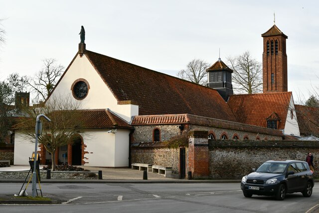
Anglican Shrine of Our Lady of Walsingham
The Anglican Shrine of Our Lady of Walsingham is a Church of England shrine church built in 1938 in Walsingham, Norfolk, England. Walsingham is the site...
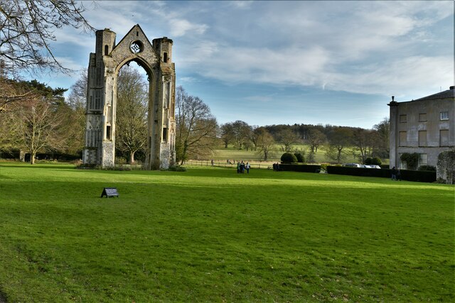
Walsingham Priory
Walsingham Priory was a monastery of Augustinian Canons regular in Walsingham, Norfolk, England seized by the crown at the Dissolution of the Monasteries...

St Mary and All Saints, Little Walsingham
St Mary and All Saints Church is the parish church of Little Walsingham in the English county of Norfolk. It is dedicated to the Virgin Mary and All Saints...

Walsingham
Walsingham () is a civil parish in North Norfolk, England, famous for its religious shrines in honour of Mary, mother of Jesus. It also contains the ruins...
Walsingham Friary
Walsingham Friary was a Franciscan friary at Walsingham, Norfolk, England. It was founded in 1347 and suppressed in the 16th century in the Dissolution...

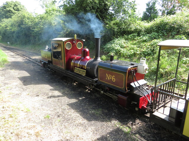
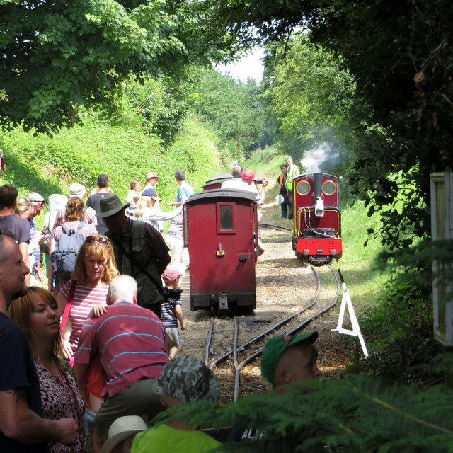
Walsingham (W&WLR) railway station
Walsingham railway station is located in Walsingham, Norfolk, on the narrow gauge Wells and Walsingham Light Railway. It was opened in 1982. It is located...

Walsingham railway station
Walsingham was a railway station on the Wells and Fakenham Railway, later part of the Great Eastern Railway. It opened on 1 December 1857, and served the...

Houghton Saint Giles
Houghton Saint Giles is a village and former civil parish, now in the parish of Barsham, in the North Norfolk district, in the English county of Norfolk...
Nearby Amenities
Located within 500m of 52.893773,0.88745411Have you been to Hanging Mire Plantation?
Leave your review of Hanging Mire Plantation below (or comments, questions and feedback).