Chalk Pit Plantation
Wood, Forest in Suffolk West Suffolk
England
Chalk Pit Plantation
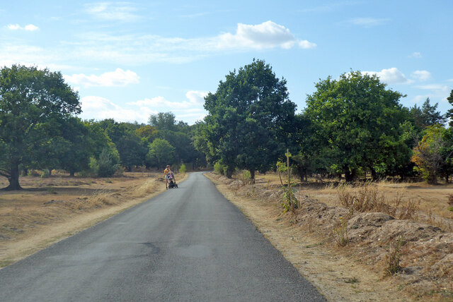
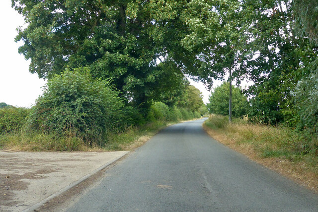
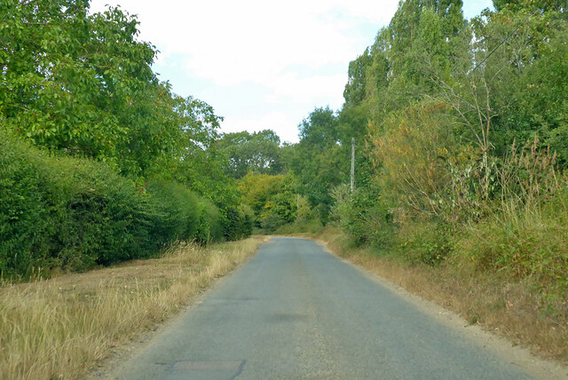
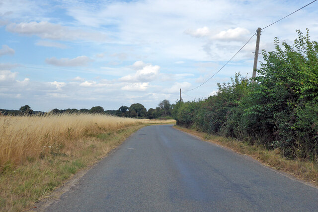
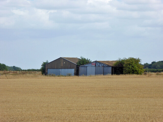
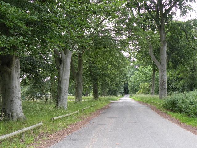
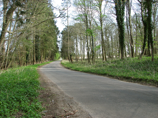
Chalk Pit Plantation is a woodland area located in Suffolk, England. Situated near the village of Blythburgh, it covers approximately 70 hectares of land. The plantation is characterized by its diverse landscape, featuring a mix of coniferous and deciduous trees.
The plantation is known for its rich biodiversity, providing a habitat for a wide range of plant and animal species. The diverse tree species found in Chalk Pit Plantation include oak, pine, beech, and birch, among others. This variety of trees creates a vibrant and colorful display throughout the seasons, attracting nature enthusiasts and photographers alike.
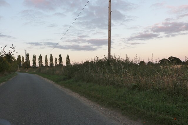
Visitors to Chalk Pit Plantation can enjoy a network of well-maintained trails that wind through the woodland, allowing for leisurely walks and exploration. These trails provide opportunities to observe the local wildlife, including birds, small mammals, and insects.
The plantation also holds historical significance, as remnants of chalk pits can still be seen within the woodland. These pits were once used for extracting chalk, which was an important material for various industries in the region.
Chalk Pit Plantation is managed by the Forestry Commission, ensuring the preservation and sustainable use of the woodland. The commission undertakes regular forest management activities, such as tree planting, thinning, and maintenance of the trails.
Overall, Chalk Pit Plantation offers a serene and picturesque environment for nature lovers to immerse themselves in the beauty of Suffolk's woodlands.
If you have any feedback on the listing, please let us know in the comments section below.
Chalk Pit Plantation Images
Images are sourced within 2km of 52.377829/0.85061774 or Grid Reference TL9479. Thanks to Geograph Open Source API. All images are credited.


Chalk Pit Plantation is located at Grid Ref: TL9479 (Lat: 52.377829, Lng: 0.85061774)
Administrative County: Suffolk
District: West Suffolk
Police Authority: Suffolk
What 3 Words
///shepherdess.ditched.snap. Near Thetford, Norfolk
Nearby Locations
Related Wikis

Knettishall Heath
Knettishall Heath is a 91.7-hectare (227-acre) biological Site of Special Scientific Interest west of Knettishall in Suffolk. A larger area of 176 hectares...

Iceni Way
The Iceni Way is a collective name for several long-distance footpaths running from Knettishall Heath to Hunstanton via the Little Ouse and Great Ouse...
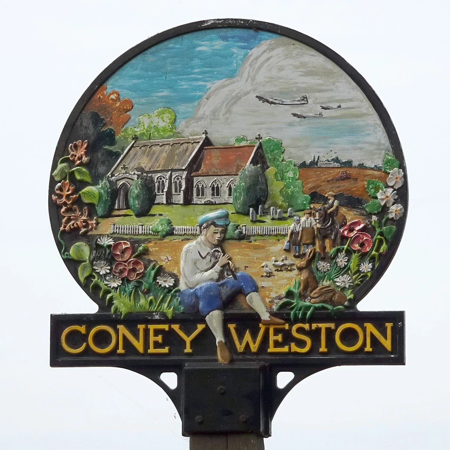
Coney Weston
Coney Weston is a village and civil parish in Suffolk, England, within the West Suffolk district. It is a primarily rural residential town that has dormitory...

Fakenham Wood and Sapiston Great Grove
Fakenham Wood and Sapiston Great Grove is a 200.7-hectare (496-acre) biological Site of Special Scientific Interest north of Sapiston in Suffolk. These...
Nearby Amenities
Located within 500m of 52.377829,0.85061774Have you been to Chalk Pit Plantation?
Leave your review of Chalk Pit Plantation below (or comments, questions and feedback).