Alethorpe Plantation

Wood, Forest in Norfolk North Norfolk

England

Alethorpe Plantation

Field by Water Moor Lane With some new housing replacing a poultry farm. There are well developed plans for a significant expansion of Fakenham into this area.
Field by Water Moor Lane Credit: Hugh Venables

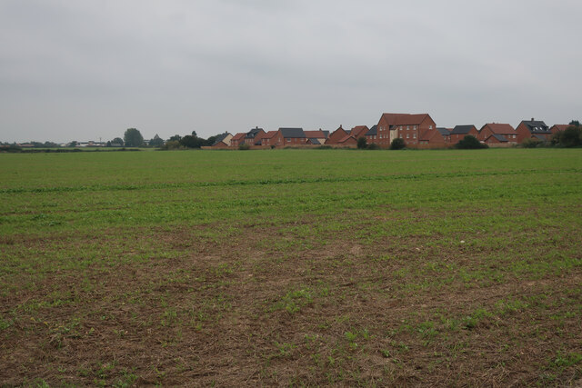
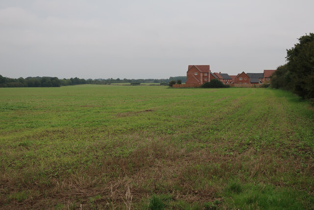
Alethorpe Plantation, located in Norfolk, is a picturesque woodland area offering a serene and natural escape from the bustling city life. Spanning over several acres, this plantation boasts an impressive variety of trees and plants, making it a haven for nature enthusiasts and hikers alike.

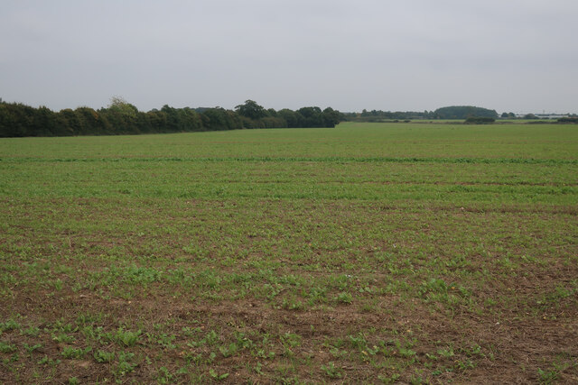
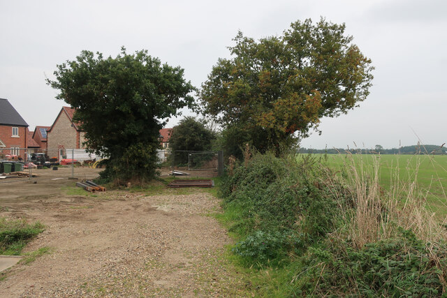
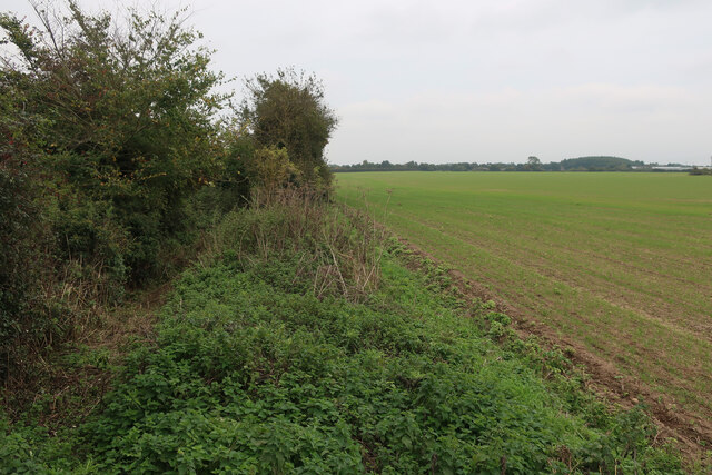
The plantation is primarily characterized by its dense forest cover, creating a lush green canopy that provides shade and tranquility to visitors. Tall and majestic oak, beech, and pine trees dominate the landscape, their branches reaching towards the sky. The forest floor is adorned with a carpet of vibrant wildflowers, ferns, and mosses, adding to the enchanting atmosphere.

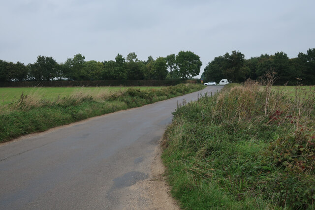
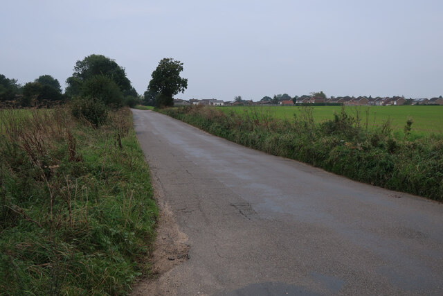
Walking trails meander through the plantation, allowing visitors to explore its hidden corners and discover the abundant wildlife that calls it home. Birdwatchers will be delighted by the diverse avian species that inhabit the area, including woodpeckers, owls, and various songbirds.

History enthusiasts will find intrigue in Alethorpe Plantation as well. The estate has a rich past dating back to the 18th century when it was first established by a local noble family. Ruins of the original manor house still stand, providing a glimpse into the area's historical significance.

For those seeking solitude and a connection with nature, Alethorpe Plantation offers a serene respite where one can immerse themselves in the beauty of the natural world. Whether it is hiking, birdwatching, or simply enjoying a peaceful picnic surrounded by nature, this Norfolk woodland is a true gem waiting to be discovered.

If you have any feedback on the listing, please let us know in the comments section below.

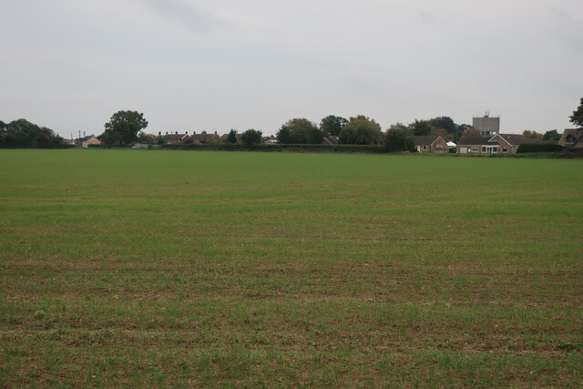
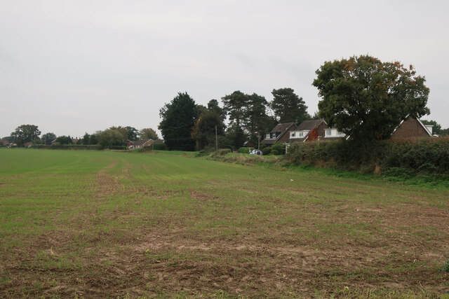
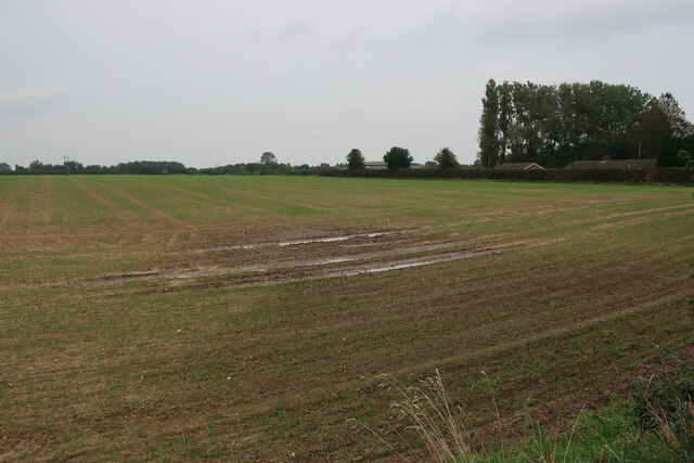
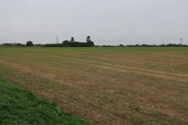
Alethorpe Plantation Images

Images are sourced within 2km of 52.849839/0.87955992 or Grid Reference TF9331. Thanks to Geograph Open Source API. All images are credited.

Field by Water Moor Lane With some new housing replacing a poultry farm. There are well developed plans for a significant expansion of Fakenham into this area.
Field by Water Moor Lane
With some new housing replacing a poultry farm. There are well developed plans for a significant expansion of Fakenham into this area.
Water Moor Lane towards the A148
Water Moor Lane towards Fakenham
Field by Water Moor Lane There are well developed plans for a significant expansion of Fakenham into this area.
Field by Water Moor Lane
There are well developed plans for a significant expansion of Fakenham into this area.
New housing on edge of Fakenham There are well developed plans for a significant expansion of Fakenham into this area.
New housing on edge of Fakenham
There are well developed plans for a significant expansion of Fakenham into this area.
Brick Kiln Road New housing on the edge of Fakenham.
Brick Kiln Road
New housing on the edge of Fakenham.
Grove Lane blocked A small area of new housing, with plans for a large development of the whole area.
Grove Lane blocked
A small area of new housing, with plans for a large development of the whole area.
Field by Grove Lane With plans for development of the area as a significant expansion of Fakenham.
Field by Grove Lane
With plans for development of the area as a significant expansion of Fakenham.
Field by Grove Lane With plans for development of the area as a significant expansion of Fakenham.
Field by Grove Lane
With plans for development of the area as a significant expansion of Fakenham.
Field on the edge of Fakenham With plans for development of the area.
Field on the edge of Fakenham
With plans for development of the area.
Current edge of Fakenham With plans for development of the fields between here and the bypass.
Current edge of Fakenham
With plans for development of the fields between here and the bypass.
Field by Rudham Stile Lane With plans for development of the area as a significant expansion of Fakenham.
Field by Rudham Stile Lane
With plans for development of the area as a significant expansion of Fakenham.
Field by Rudham Stile Lane With plans for development of the area as a significant expansion of Fakenham.
Field by Rudham Stile Lane
With plans for development of the area as a significant expansion of Fakenham.
Field by Rudham Stile Lane With plans for development of the area as a significant expansion of Fakenham.
Field by Rudham Stile Lane
With plans for development of the area as a significant expansion of Fakenham.
Thorpland Road, Fakenham
Rudham Stile Lane The current edge of Fakenham, but probably not for much longer.
Rudham Stile Lane
The current edge of Fakenham, but probably not for much longer.
Toolstation, Fakenham Industrial Estate
Little Snoring: St. Andrew's Church from the church car park 1
Show me another place!

Alethorpe Plantation is located at Grid Ref: TF9331 (Lat: 52.849839, Lng: 0.87955992)

Administrative County: Norfolk

District: North Norfolk

Police Authority: Norfolk

What 3 Words

///graced.reports.doubt. Near Fakenham, Norfolk

Related Wikis

Alethorpe

Alethorpe is a deserted medieval village site and former civil parish, now in the parish of Little Snoring, in the North Norfolk district, in the county...
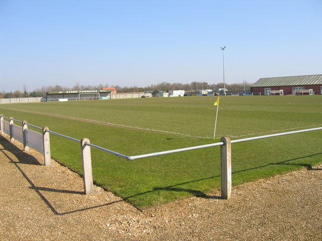
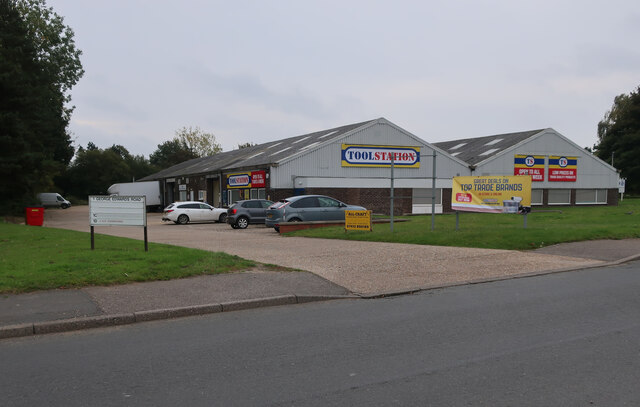
Fakenham Town F.C.

Fakenham Town Football Club is a football club based in Fakenham, Norfolk, England. Affiliated to the Norfolk County Football Association, they are currently...
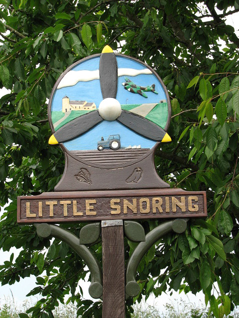
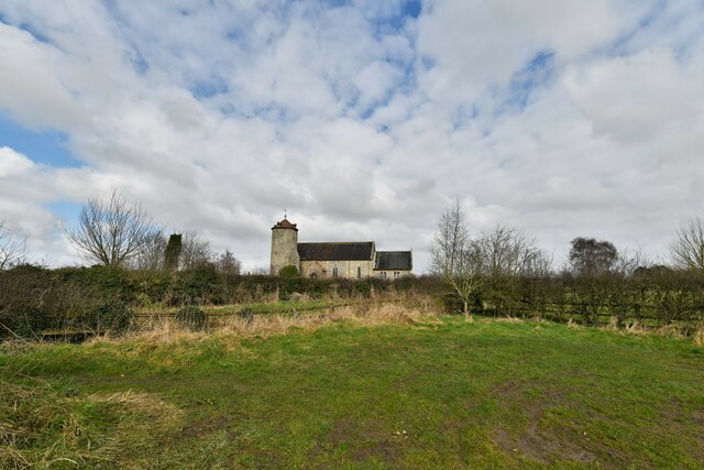
Little Snoring

Little Snoring is a village and a civil parish in Norfolk, England.The village is approximately 2 miles (3 km) east-north-east from the town of Fakenham...

Fakenham

Fakenham is a market town and civil parish in Norfolk, England. It is situated on the River Wensum, about 25 miles (40 kilometres) north west of Norwich...

Fakenham East railway station

Fakenham East railway station was a railway station in the market town of Fakenham in the English county of Norfolk. The station was opened by the Norfolk...

Fakenham Academy

The Fakenham Academy (formerly Fakenham Grammar School and Fakenham High School and College) is a coeducational secondary school and sixth form located...

RAF Little Snoring

Royal Air Force Little Snoring or more simply RAF Little Snoring is a former Royal Air Force station located north of the Norfolk village of Little Snoring...

Great Snoring

Great Snoring is a rural village in North Norfolk by the River Stiffkey, in the east of England. It is situated approximately 25 miles (40 km) north-west...

Nearby Amenities

Located within 500m of 52.849839,0.87955992
Power: pole
Lat/Long: 52.851666/0.8786595
Power: pole
Lat/Long: 52.8504633/0.8781887
Power: pole
Lat/Long: 52.8528613/0.879145
Power: pole
Lat/Long: 52.8497344/0.8768906
Power: pole
Lat/Long: 52.8505419/0.8805156
Power: pole
Lat/Long: 52.8481534/0.8741547
Power: pole
Lat/Long: 52.8541214/0.8796787
Post Box
Collection Times: Mo-Fr 15:00; Sa 07:30
Post Box Mounting: telegraph_pole
Post Box Type: lamp
Ref: NR21 2113
Royal Cypher: EIIR
Royal Cypher Wikidata: Q33102113
Lat/Long: 52.8510604/0.8764207
Power: pole
Lat/Long: 52.8489805/0.8755504
Power: pole
Lat/Long: 52.8506261/0.8830127
Power: pole
Lat/Long: 52.8507023/0.8848822
The data included in this document is from www.openstreetmap.org. The data is made available under ODbL.

Have you been to Alethorpe Plantation?

Leave your review of Alethorpe Plantation below (or comments, questions and feedback).