Little Carr

Wood, Forest in Suffolk West Suffolk

England

Little Carr

Bardwell Watermill The 19th century mill straddles The Black Bourn river, has three floors with the lucum on the north side. It has a brick ground storey, and is timber-framed above, with C20 replacement tarred weatherboarding and a slate roof. The internal undershot waterwheel is now without its paddles but can be seen here. <a title="https://www.geograph.org.uk/photo/6980462" href="https://www.geograph.org.uk/photo/6980462">Link</a>  All the working machinery has been removed, apart from a few pieces on the top floor.
The miller's house which is undergoing restoration, adjoins the mill.
<a title="https://www.geograph.org.uk/photo/6980599" href="https://www.geograph.org.uk/photo/6980599">Link</a>
Bardwell Watermill Credit: Adrian S Pye

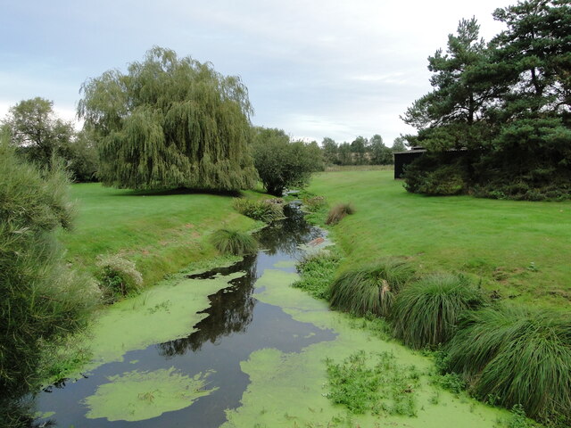
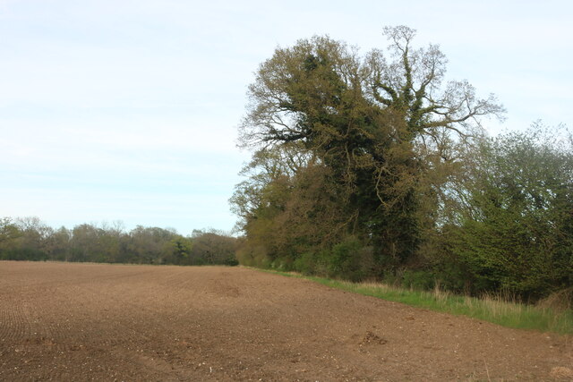
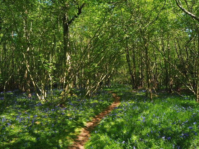
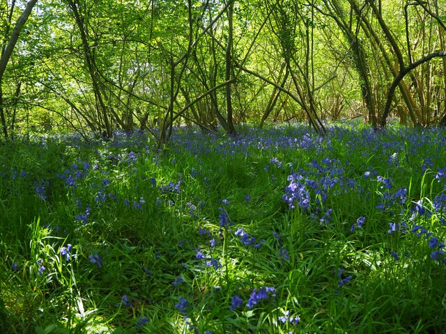
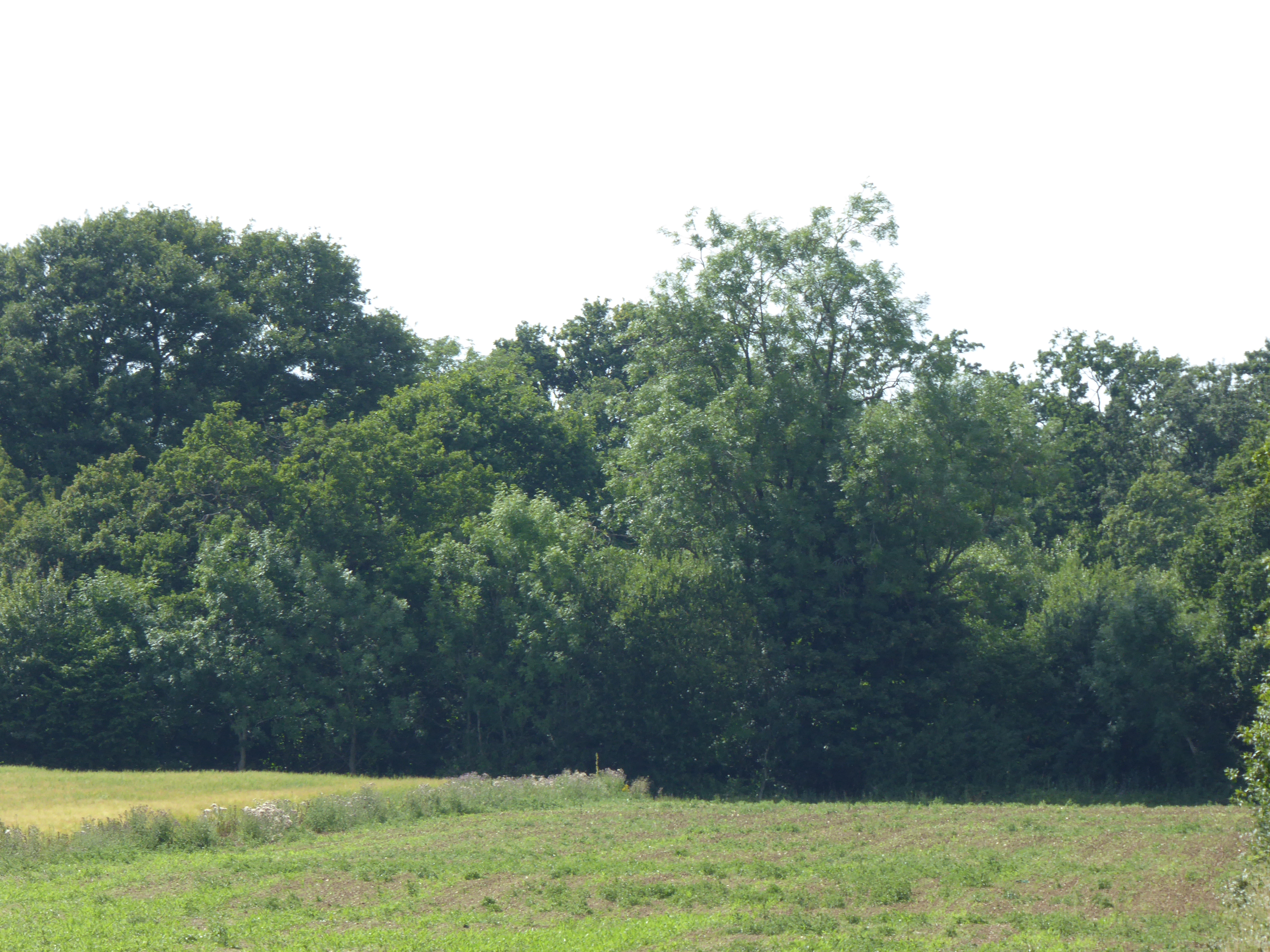
Little Carr is a charming woodland area located in the county of Suffolk, England. Nestled amidst the scenic beauty of the Suffolk countryside, Little Carr is renowned for its lush woodlands and enchanting forests. It is a haven for nature lovers and outdoor enthusiasts, offering an array of recreational activities and breathtaking natural landscapes.

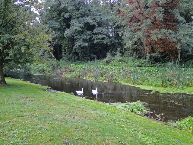
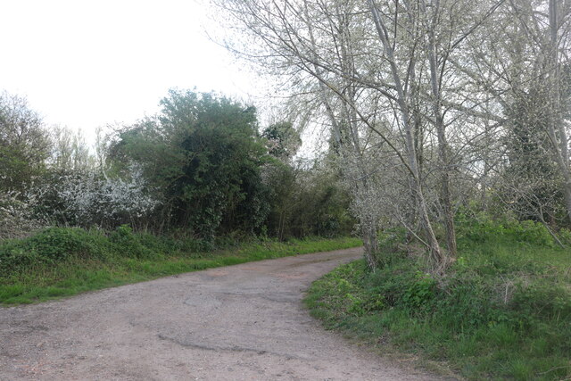
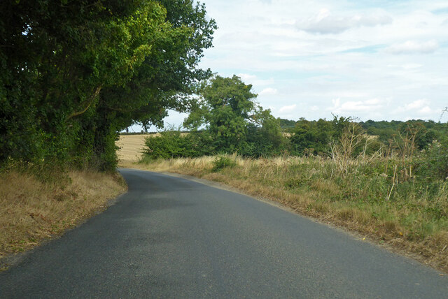
The woodlands of Little Carr encompass a vast area, providing ample opportunities for leisurely walks, hiking, and cycling. The forest trails meander through ancient trees, creating a serene and peaceful atmosphere. The diverse flora and fauna found in Little Carr make it an ideal spot for birdwatching and wildlife spotting. Visitors might be lucky enough to catch a glimpse of rare species such as deer, badgers, and various bird species.

Little Carr boasts a rich history, with evidence of human habitation dating back to ancient times. The area is dotted with archaeological sites, including burial mounds and ancient settlements, which offer a glimpse into its past. The woodlands also hold significant cultural value, with numerous folklore tales and legends associated with the area.

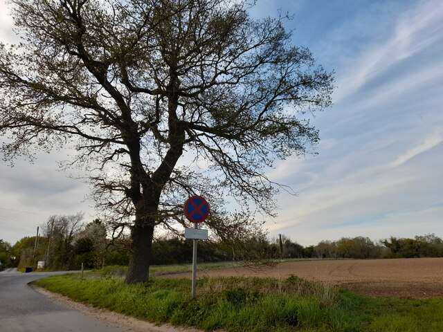
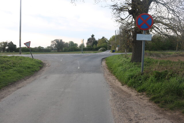
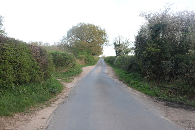
Despite its tranquil and secluded setting, Little Carr is easily accessible. It is conveniently located near several towns and villages, allowing visitors to enjoy the best of both worlds – a peaceful retreat amidst nature and the convenience of nearby amenities.

In conclusion, Little Carr in Suffolk is a picturesque woodland area that captivates visitors with its natural beauty and rich history. Whether one seeks outdoor adventure or simply wishes to immerse themselves in the serenity of the forest, Little Carr offers a delightful experience for all.

If you have any feedback on the listing, please let us know in the comments section below.
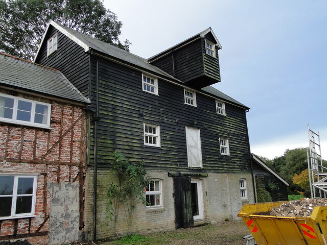
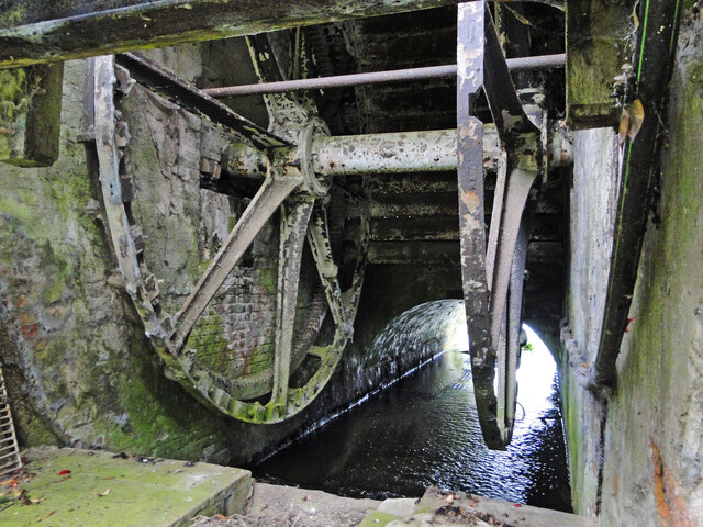
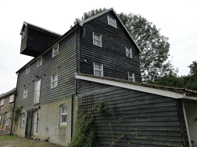
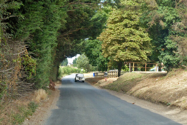
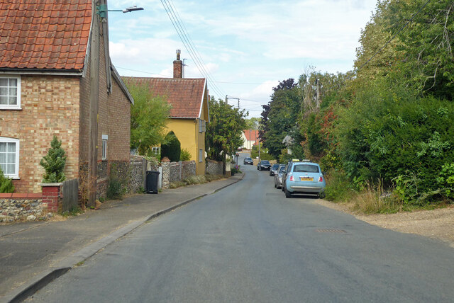
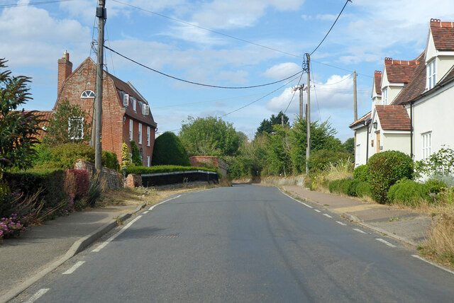
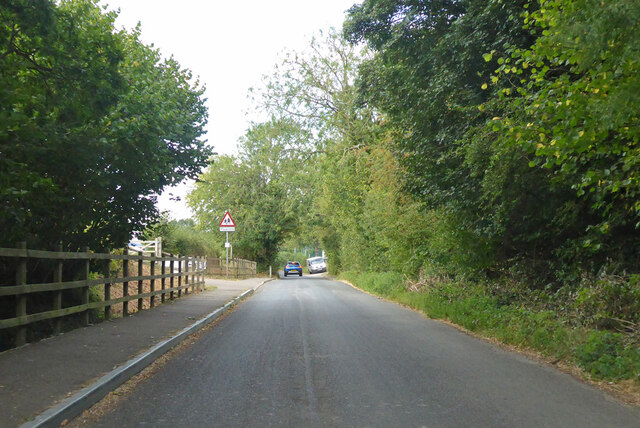
Little Carr Images

Images are sourced within 2km of 52.321958/0.84345706 or Grid Reference TL9373. Thanks to Geograph Open Source API. All images are credited.

Bardwell Watermill The 19th century mill straddles The Black Bourn river, has three floors with the lucum on the north side. It has a brick ground storey, and is timber-framed above, with C20 replacement tarred weatherboarding and a slate roof. The internal undershot waterwheel is now without its paddles but can be seen here. <a title="https://www.geograph.org.uk/photo/6980462" href="https://www.geograph.org.uk/photo/6980462">Link</a>  All the working machinery has been removed, apart from a few pieces on the top floor.
The miller's house which is undergoing restoration, adjoins the mill.
<a title="https://www.geograph.org.uk/photo/6980599" href="https://www.geograph.org.uk/photo/6980599">Link</a>
Bardwell Watermill
The 19th century mill straddles The Black Bourn river, has three floors with the lucum on the north side. It has a brick ground storey, and is timber-framed above, with C20 replacement tarred weatherboarding and a slate roof. The internal undershot waterwheel is now without its paddles but can be seen here. Link All the working machinery has been removed, apart from a few pieces on the top floor. The miller's house which is undergoing restoration, adjoins the mill. Link
Bardwell Watermill, the undershot wheel The wheel has lost all its paddles but is still in situ in the millrace.
The 19th century mill straddles The Black Bourn river, has three floors with the lucum on the north side. It has a brick ground storey, and is timber-framed above, with C20 replacement tarred weatherboarding and a slate roof. The internal undershot waterwheel is now without its paddles but can be seen here. All the working machinery has been removed, apart from a few pieces on the top floor.
The miller's house which is undergoing restoration, adjoins the mill. <a title="https://www.geograph.org.uk/photo/6980455" href="https://www.geograph.org.uk/photo/6980455">Link</a>
Bardwell Watermill, the undershot wheel
The wheel has lost all its paddles but is still in situ in the millrace. The 19th century mill straddles The Black Bourn river, has three floors with the lucum on the north side. It has a brick ground storey, and is timber-framed above, with C20 replacement tarred weatherboarding and a slate roof. The internal undershot waterwheel is now without its paddles but can be seen here. All the working machinery has been removed, apart from a few pieces on the top floor. The miller's house which is undergoing restoration, adjoins the mill. Link
Bardwell Watermill The 19th century mill straddles The Black Bourn river, has three floors with the lucum on the north side. It has a brick ground storey, and is timber-framed above, with C20 replacement tarred weatherboarding and a slate roof. The internal undershot waterwheel is now without its paddles but can be seen here. <a title="https://www.geograph.org.uk/photo/6980462" href="https://www.geograph.org.uk/photo/6980462">Link</a> All the working machinery has been removed, apart from a few pieces on the top floor.
The miller's house which is undergoing restoration, adjoins the mill.
<a title="https://www.geograph.org.uk/photo/6980455" href="https://www.geograph.org.uk/photo/6980455">Link</a>
Bardwell Watermill
The 19th century mill straddles The Black Bourn river, has three floors with the lucum on the north side. It has a brick ground storey, and is timber-framed above, with C20 replacement tarred weatherboarding and a slate roof. The internal undershot waterwheel is now without its paddles but can be seen here. Link All the working machinery has been removed, apart from a few pieces on the top floor. The miller's house which is undergoing restoration, adjoins the mill. Link
The tailrace at Bardwell Watermill This is the water that has been through the mill and is about to rejoin the Black Bourn on its course to the Little Ouse south of Thetford.
To see the mill : <a href="https://www.geograph.org.uk/photo/6980455">TL9374 : Bardwell Watermill</a> 
<a href="https://www.geograph.org.uk/photo/6980462">TL9374 : Bardwell Watermill, the undershot wheel</a> 
<a href="https://www.geograph.org.uk/photo/6980599">TL9374 : Bardwell Watermill</a> 
<a href="https://www.geograph.org.uk/photo/6980609">TL9374 : Swans on the headrace at Bardwell watermill</a>
The tailrace at Bardwell Watermill
This is the water that has been through the mill and is about to rejoin the Black Bourn on its course to the Little Ouse south of Thetford. To see the mill : TL9374 : Bardwell Watermill TL9374 : Bardwell Watermill, the undershot wheel TL9374 : Bardwell Watermill TL9374 : Swans on the headrace at Bardwell watermill
Wyken Road, Stanton Looking towards Bury Road
Wyken Road, Stanton
Looking towards Bury Road
Wyken Road crossing Bury Road, Stanton
Field by Bury Road, Stanton
Track off Wyken Road, Stanton
Wyken Road, Stanton
Wyken Road, Stanton
Bardwell Road North from Ixworth towards Bardwell.
Bardwell Road
North from Ixworth towards Bardwell.
Ixworth Road towards Bardwell Coming the other way was a spaced out convoy of randomly 'classic' cars, approaching is a 1948 Austin 16.
Ixworth Road towards Bardwell
Coming the other way was a spaced out convoy of randomly 'classic' cars, approaching is a 1948 Austin 16.
Low Street, Bardwell Entering the village from the Ixworth direction.
Low Street, Bardwell
Entering the village from the Ixworth direction.
Low Street, Bardwell Mansard House, formerly Street Farmhouse, on the left, is a grade II listed building, mid 18th century.
Low Street, Bardwell
Mansard House, formerly Street Farmhouse, on the left, is a grade II listed building, mid 18th century.
Spring Road, Bardwell Heading north out of the village.
Spring Road, Bardwell
Heading north out of the village.
Bluebells in Half Grove, Stanton Springtime bluebells blooming in the woods of Half Grove, off the green lane between the A143, Wyken Rd and Bury Lane in Stanton, Suffolk.
Bluebells in Half Grove, Stanton
Springtime bluebells blooming in the woods of Half Grove, off the green lane between the A143, Wyken Rd and Bury Lane in Stanton, Suffolk.
Show me another place!

Little Carr is located at Grid Ref: TL9373 (Lat: 52.321958, Lng: 0.84345706)

Administrative County: Suffolk

District: West Suffolk

Police Authority: Suffolk

What 3 Words

///proposals.utensil.petition. Near Ixworth, Suffolk

Nearby Locations

Little Carr

Related Wikis

Bardwell, Suffolk

Bardwell is a village and civil parish in the West Suffolk district of Suffolk, England. == Location == Bardwell is located about ten miles north-east...

Bardwell Windmill

Bardwell Mill is a Grade II* listed tower mill at Bardwell, Suffolk, England, which is under restoration. == History == Bardwell Mill was built in 1823...

Bangrove Wood, Ixworth

Bangrove Wood is an 18.6-hectare (46-acre) biological Site of Special Scientific Interest north of Ixworth in Suffolk, England.This is ancient coppice...

St Andrew's Church, Sapiston

St Andrew's Church is a redundant Anglican church in the village of Sapiston, Suffolk, England. It is recorded in the National Heritage List for England...

Ixworth Thorpe

Ixworth Thorpe is a small village and civil parish in the West Suffolk district of the English county of Suffolk. The village is located on the A1088 road...

Bowbeck

Bowbeck is a hamlet in Suffolk, England. == External links == Media related to Bowbeck at Wikimedia Commons

St John the Baptist's Church, Stanton

St John the Baptist's Church is a redundant Anglican church in the village of Stanton, Suffolk, England. It is recorded in the National Heritage List...

Ixworth

Ixworth is a village and civil parish in the West Suffolk district of Suffolk, England, 6 miles (9.7 km) north-east of Bury St Edmunds on the A143 road...

Nearby Amenities

Located within 500m of 52.321958,0.84345706
Bus Stop
Knox Lane
Naptan AtcoCode: 390051041
Naptan Bearing: SW
Naptan CommonName: Knox Lane
Naptan Indicator: adj
Naptan Landmark: Knox Lane
Naptan NaptanCode: sufjgtaj
Naptan Street: Low Street
Naptan Verified: no
Source: naptan_import
Lat/Long: 52.3218543/0.8488139
Knox Lane
Naptan AtcoCode: 390051042
Naptan Bearing: NE
Naptan BusStopType: CUS
Naptan CommonName: Knox Lane
Naptan Indicator: opp
Naptan Landmark: Knox Lane
Naptan NaptanCode: sufjgtam
Naptan Street: Low Street
Naptan Verified: no
Source: naptan_import
Lat/Long: 52.3219311/0.8486867
Power: pole
Lat/Long: 52.3256453/0.8407492
Power: pole
Lat/Long: 52.3246437/0.8450727
Power: pole
Lat/Long: 52.3237355/0.8487018
Power: pole
Lat/Long: 52.3252962/0.8422351
Power: pole
Lat/Long: 52.3241355/0.8462771
Power: pole
Lat/Long: 52.3237339/0.8472346
Fixme: incomplete
Lat/Long: 52.3262848/0.8422725
Fixme: Does a Byway leave the road and head west fro here?
Note: Definitive Statement suggests Bardwell BY 3 starts here.
Lat/Long: 52.3201254/0.846567
Power: pole
Lat/Long: 52.3234331/0.8492464
Post Box
Operator: Royal Mail
Post Box Mounting: pier
Post Box Type: lamp
Ref: IP31 2098
Royal Cypher: EIIR
Lat/Long: 52.3216461/0.8492652
The data included in this document is from www.openstreetmap.org. The data is made available under ODbL.

Have you been to Little Carr?

Leave your review of Little Carr below (or comments, questions and feedback).