The Heath

Wood, Forest in Norfolk North Norfolk

England

The Heath

New housing on edge of Fakenham There are well developed plans for a significant expansion of Fakenham into this area.
New housing on edge of Fakenham Credit: Hugh Venables

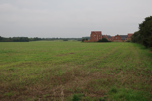
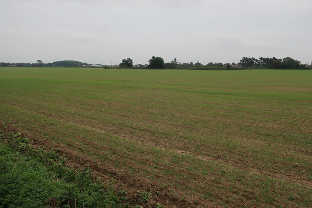
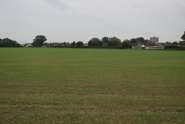
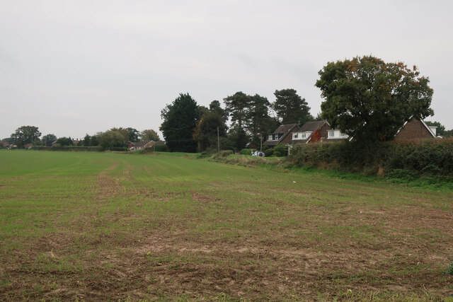
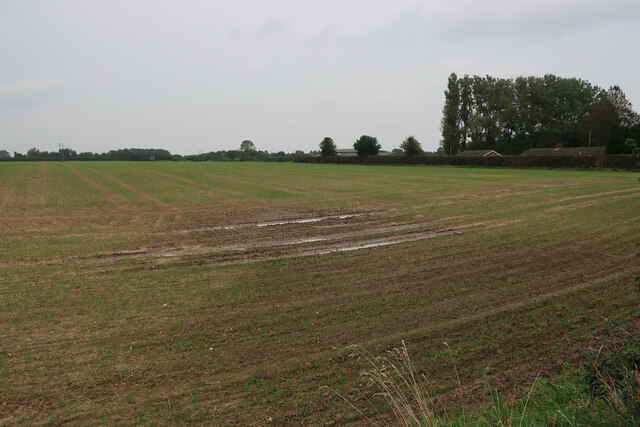
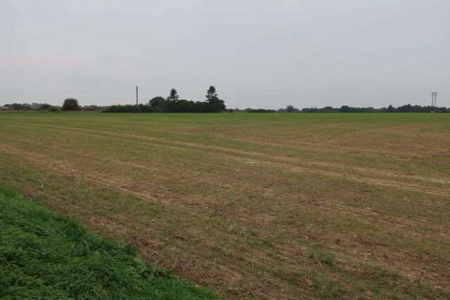
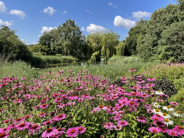
The Heath, located in Norfolk, England, is a picturesque woodland area that covers a vast expanse of approximately 200 acres. This idyllic forest is renowned for its natural beauty and biodiversity, attracting nature enthusiasts and adventurers alike.

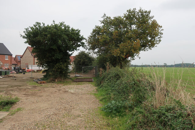
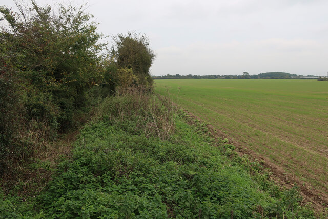
The landscape of The Heath is characterized by dense woodland, featuring a variety of tree species such as oak, beech, and pine. The forest floor is carpeted with a rich tapestry of wildflowers and ferns that thrive in the dappled sunlight that filters through the canopy.

The Heath is home to a diverse range of wildlife, offering sanctuary to numerous species. Birdwatchers will delight in the opportunity to spot a wide array of avian inhabitants, including woodpeckers, nightjars, and buzzards. The forest also provides a habitat for mammals such as deer, foxes, and badgers, which can be spotted on quiet walks through the woods.

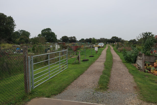
For those seeking outdoor activities, The Heath offers an extensive network of walking trails and cycling routes, allowing visitors to immerse themselves in the natural splendor of the forest. The peaceful atmosphere and tranquil surroundings make it an ideal location for a leisurely stroll or a family picnic amidst the beauty of nature.

Additionally, The Heath provides educational opportunities, with guided nature walks and workshops available to learn about the flora and fauna that thrive within its boundaries. Conservation efforts are also actively undertaken to preserve the unique ecosystem of The Heath, ensuring its beauty and biodiversity are protected for future generations to enjoy.

In essence, The Heath in Norfolk is a haven of natural wonders, offering a serene escape from the hustle and bustle of everyday life. Whether you are a nature lover, an avid hiker, or simply seeking solace in the tranquility of a woodland retreat, The Heath is sure to captivate and inspire.

If you have any feedback on the listing, please let us know in the comments section below.

The Heath Images

Images are sourced within 2km of 52.829836/0.87638023 or Grid Reference TF9329. Thanks to Geograph Open Source API. All images are credited.

New housing on edge of Fakenham There are well developed plans for a significant expansion of Fakenham into this area.
New housing on edge of Fakenham
There are well developed plans for a significant expansion of Fakenham into this area.
Brick Kiln Road New housing on the edge of Fakenham.
Brick Kiln Road
New housing on the edge of Fakenham.
Brick Kiln Road New housing on the edge of Fakenham.
Brick Kiln Road
New housing on the edge of Fakenham.
Grove Lane blocked A small area of new housing, with plans for a large development of the whole area.
Grove Lane blocked
A small area of new housing, with plans for a large development of the whole area.
Field by Grove Lane With plans for development of the area as a significant expansion of Fakenham.
Field by Grove Lane
With plans for development of the area as a significant expansion of Fakenham.
Field by Grove Lane With plans for development of the area as a significant expansion of Fakenham.
Field by Grove Lane
With plans for development of the area as a significant expansion of Fakenham.
Field on the edge of Fakenham With plans for development of the area.
Field on the edge of Fakenham
With plans for development of the area.
Current edge of Fakenham With plans for development of the fields between here and the bypass.
Current edge of Fakenham
With plans for development of the fields between here and the bypass.
Allotments on the edge of Fakenham
Grove Lane, Fakenham
Field by Rudham Stile Lane With plans for development of the area as a significant expansion of Fakenham.
Field by Rudham Stile Lane
With plans for development of the area as a significant expansion of Fakenham.
Field by Rudham Stile Lane With plans for development of the area as a significant expansion of Fakenham.
Field by Rudham Stile Lane
With plans for development of the area as a significant expansion of Fakenham.
Field by Rudham Stile Lane With plans for development of the area as a significant expansion of Fakenham.
Field by Rudham Stile Lane
With plans for development of the area as a significant expansion of Fakenham.
Thorpland Road, Fakenham
Rudham Stile Lane The current edge of Fakenham, but probably not for much longer.
Rudham Stile Lane
The current edge of Fakenham, but probably not for much longer.
Fakenham Industrial Estate
Toolstation, Fakenham Industrial Estate
The Millennium Garden, Pensthorpe Natural Park
Show me another place!

The Heath is located at Grid Ref: TF9329 (Lat: 52.829836, Lng: 0.87638023)

Administrative County: Norfolk

District: North Norfolk

Police Authority: Norfolk

What 3 Words

///stowing.buildings.assess. Near Fakenham, Norfolk

Related Wikis

Fakenham East railway station

Fakenham East railway station was a railway station in the market town of Fakenham in the English county of Norfolk. The station was opened by the Norfolk...
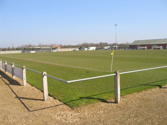
Fakenham Town F.C.

Fakenham Town Football Club is a football club based in Fakenham, Norfolk, England. Affiliated to the Norfolk County Football Association, they are currently...

Pensthorpe Natural Park

Pensthorpe Natural Park is located in Pensthorpe, Norfolk, England and is approximately one mile from Fakenham and close to the A1067 road. The park covers...

Fakenham Racecourse

Fakenham Racecourse is a thoroughbred horse racing venue located south of Fakenham, Norfolk, England. King Charles III is patron. == Course == The course...

Fakenham

Fakenham is a market town and civil parish in Norfolk, England. It is situated on the River Wensum, about 25 miles (40 kilometres) north west of Norwich...

Alethorpe

Alethorpe is a deserted medieval village site and former civil parish, now in the parish of Little Snoring, in the North Norfolk district, in the county...

Corn Exchange, Fakenham

The Corn Exchange is a commercial building in the Market Place, Fakenham, Norfolk, England. The structure, which is currently used as a cinema, is a Grade...

Fakenham West railway station

Fakenham West railway station was a station in Norfolk. It was built as part of the Midland and Great Northern Joint Railway main line that meandered across...

Nearby Amenities

Located within 500m of 52.829836,0.87638023
Bus Stop
William Road, adj
Naptan AtcoCode: 2900F0119
Naptan Bearing: NE
Naptan CommonName: William Road
Naptan Indicator: adj
Naptan Locality: Fakenham
Naptan NaptanCode: nfoapgja
Naptan Street: Norwich Road
Naptan Verified: no
Source: naptan_import
Lat/Long: 52.8323802/0.8785182
Bus Stop
Heath Farm Cottage, adj
Naptan AtcoCode: 2900F0122
Naptan Bearing: NW
Naptan CommonName: Heath Farm Cottage
Naptan Indicator: adj
Naptan Landmark: Heath Farm Cottage
Naptan Locality: Fakenham
Naptan NaptanCode: nfoapgjm
Naptan Street: A1067
Naptan Verified: no
Source: naptan_import
Lat/Long: 52.8329199/0.879623
Bus Stop
Norwich Road, adj
Naptan AtcoCode: 2900F0138
Naptan Bearing: N
Naptan CommonName: Norwich Road
Naptan Indicator: adj
Naptan Landmark: Norwich Road
Naptan Locality: Fakenham
Naptan NaptanCode: nfoapgpm
Naptan Street: Smiths Lane
Naptan Verified: no
Source: naptan_import
Lat/Long: 52.8314292/0.8695167
Bus Stop
Smiths Lane, adj
Naptan AtcoCode: 2900F0146
Naptan Bearing: NE
Naptan CommonName: Smiths Lane
Naptan Indicator: adj
Naptan Landmark: Smiths Lane
Naptan Locality: Fakenham
Naptan NaptanCode: nfoapgtm
Naptan ShortCommonName: Smiths Lane
Naptan Street: Norwich Road
Naptan Verified: no
Source: naptan_import
Lat/Long: 52.8310245/0.8698909
Bus Stop
Smiths Lane, opp
Bus: yes
Naptan AtcoCode: 2900F0147
Naptan Bearing: SW
Naptan BusStopType: CUS
Naptan CommonName: Smiths Lane
Naptan Indicator: opp
Naptan Landmark: Smiths Lane
Naptan Locality: Fakenham
Naptan NaptanCode: nfoapgtp
Naptan ShortCommonName: Smiths Lane
Naptan Street: Norwich Road
Naptan Verified: no
Public Transport: platform
Source: naptan_import
Lat/Long: 52.8309343/0.8698998
Bus Stop
Warren Avenue, adj
Naptan AtcoCode: 2900F0148
Naptan Bearing: SW
Naptan CommonName: Warren Avenue
Naptan Indicator: adj
Naptan Landmark: Warren Avenue
Naptan Locality: Fakenham
Naptan NaptanCode: nfoapgtw
Naptan Street: Norwich Road
Naptan Verified: no
Source: naptan_import
Lat/Long: 52.8315683/0.8726886
Bus Stop
Warren Avenue, opp
Naptan AtcoCode: 2900F0149
Naptan Bearing: NE
Naptan CommonName: Warren Avenue
Naptan Indicator: opp
Naptan Landmark: Warren Avenue
Naptan Locality: Fakenham
Naptan NaptanCode: nfoapgwa
Naptan ShortCommonName: Warren Avenue
Naptan Street: Norwich Road
Naptan Verified: no
Source: naptan_import
Lat/Long: 52.8316659/0.8727396
Bus Stop
William Road, opp
Naptan AtcoCode: 2900F0150
Naptan Bearing: SW
Naptan CommonName: William Road
Naptan Indicator: opp
Naptan Landmark: William Road
Naptan Locality: Fakenham
Naptan NaptanCode: nfoapgwd
Naptan Street: Norwich Road
Naptan Verified: no
Source: naptan_import
Lat/Long: 52.8322994/0.8785129
Bus Stop
Heath Farm Cottage, opp
Naptan AtcoCode: 2900F018
Naptan Bearing: SE
Naptan CommonName: Heath Farm Cottage
Naptan Indicator: opp
Naptan Landmark: Heath Farm Cottage
Naptan Locality: Fakenham
Naptan NaptanCode: nfoapjap
Naptan Street: A1067
Naptan Verified: no
Source: naptan_import
Lat/Long: 52.8328032/0.8796153
Turning Circle
Lat/Long: 52.8300794/0.8731447
Turning Circle
Lat/Long: 52.830316/0.8720585
Turning Circle
Lat/Long: 52.8289489/0.8705055
Crossing
Crossing: uncontrolled
Lat/Long: 52.8334168/0.8740465
Crossing
Crossing: unmarked
Lat/Long: 52.8309423/0.8730974
Crossing
Crossing: unmarked
Lat/Long: 52.8318885/0.8742479
Post Box
Collection Times: Mo-Fr 09:00; Sa 07:00
Operator: Royal Mail
Post Box Mounting: pier
Post Box Type: lamp
Ref: NR21 2152D
Royal Cypher: EIIR
Royal Cypher Wikidata: Q33102113
Lat/Long: 52.831165/0.8704237
Give Way
Lat/Long: 52.8326332/0.880014
The data included in this document is from www.openstreetmap.org. The data is made available under ODbL.

Have you been to The Heath?

Leave your review of The Heath below (or comments, questions and feedback).