Crookland Grove
Wood, Forest in Suffolk West Suffolk
England
Crookland Grove

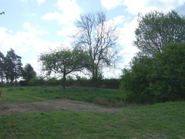
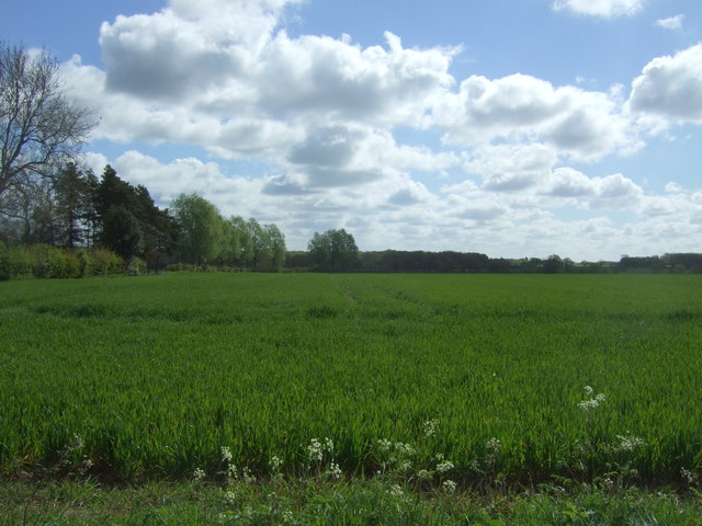
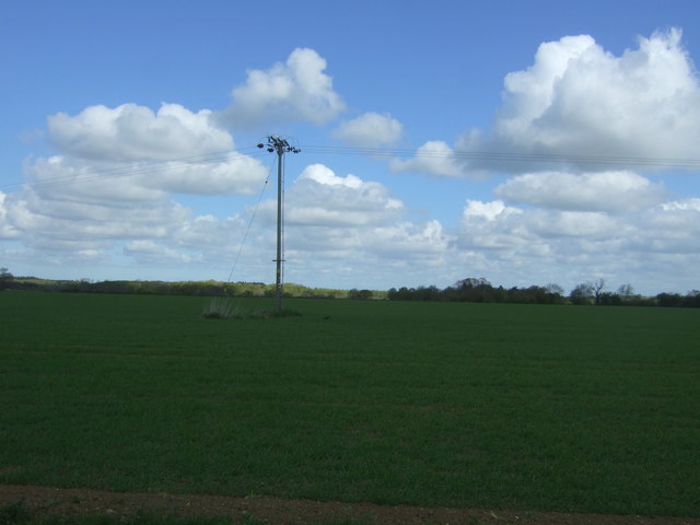
Crookland Grove, Suffolk, situated in the eastern part of England, is a captivating wood and forest area that spans approximately 100 acres. Nestled amidst the picturesque countryside, it is renowned for its natural beauty and diverse range of flora and fauna.
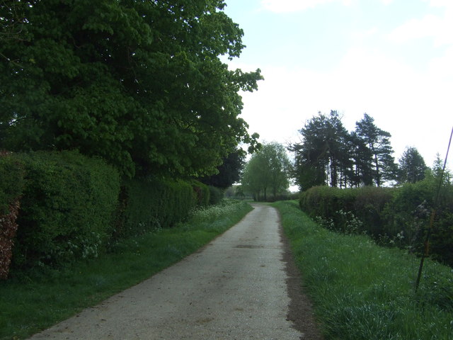
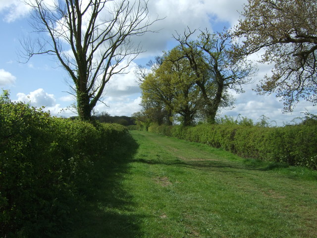
The grove is characterized by its dense woodland, consisting of a variety of trees such as oak, beech, and ash. These towering giants create a lush canopy that provides shade and shelter to the forest floor below. The woodland is intersected by a network of well-maintained trails, allowing visitors to explore and immerse themselves in the tranquil surroundings.
The forest floor of Crookland Grove is a tapestry of wildflowers and ferns, creating a vibrant and colorful environment. It is also home to a plethora of wildlife, including deer, foxes, and a variety of bird species. Nature enthusiasts can spot woodpeckers drilling into tree trunks or catch a glimpse of the elusive red squirrel. The grove is also a haven for insects, with butterflies and bees fluttering from flower to flower, adding to the magical atmosphere.
Crookland Grove offers a serene escape from the hustle and bustle of everyday life, providing a peaceful sanctuary for those seeking solace in nature. It is a popular destination for hikers, picnickers, and photographers, who are captivated by the stunning scenery and the opportunity to connect with the natural world.
Overall, Crookland Grove, Suffolk, is a captivating wood and forest area that showcases the true beauty of the English countryside. Its diverse range of flora and fauna, combined with its tranquil ambiance, makes it a must-visit destination for nature lovers and outdoor enthusiasts alike.
If you have any feedback on the listing, please let us know in the comments section below.
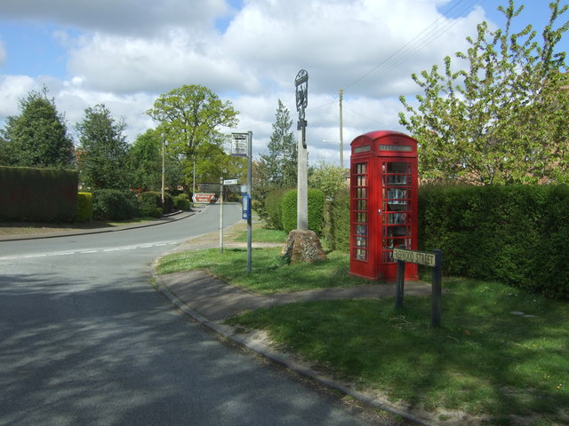
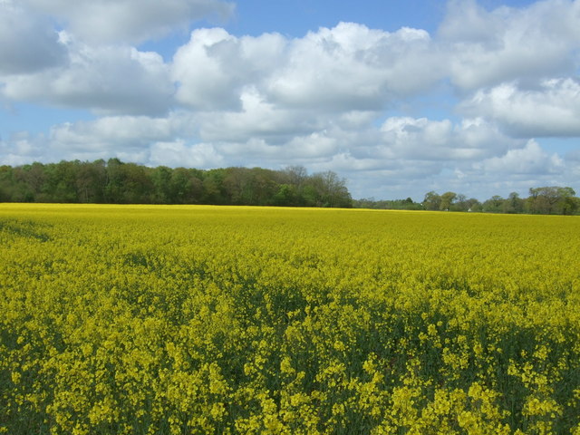
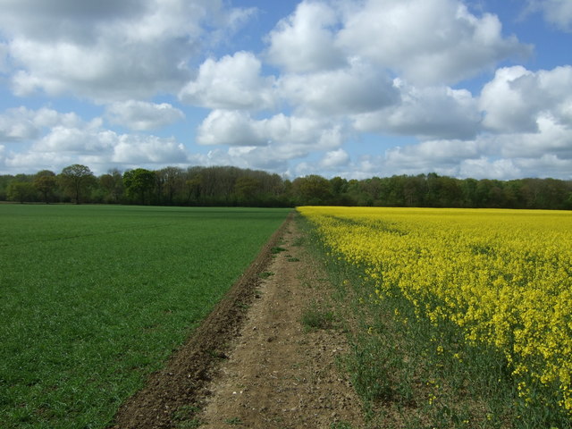
Crookland Grove Images
Images are sourced within 2km of 52.199425/0.82483875 or Grid Reference TL9359. Thanks to Geograph Open Source API. All images are credited.


Crookland Grove is located at Grid Ref: TL9359 (Lat: 52.199425, Lng: 0.82483875)
Administrative County: Suffolk
District: West Suffolk
Police Authority: Suffolk
What 3 Words
///boring.newsprint.viewers. Near Woolpit, Suffolk
Nearby Locations
Related Wikis

Bradfield St George
Bradfield St. George is a village and civil parish in the West Suffolk district of Suffolk, England, about 6 miles (9.7 km) south of Bury St Edmunds. According...

Drinkstone
Drinkstone is a small settlement and civil parish in Suffolk, England. Its name is derived from Dremic's homestead. It was located in the hundred of Thedwastre...

Hessett
Hessett is a village and civil parish in the Mid Suffolk district of Suffolk in eastern England. Hessett is located around four miles south east of Bury...

Bradfield Woods
Bradfield Woods is an 81.4-hectare (201-acre) biological Site of Special Scientific Interest between Bury St Edmunds and Stowmarket in Suffolk. The site...
Gedding
Gedding is a village and civil parish in the Mid Suffolk district of Suffolk in eastern England. Located around six miles south east of Bury St Edmunds...

Church of St Clare, Bradfield
The Church of St Clare, Bradfield is the Anglican parish church of Bradfield St Clare, in the district of West Suffolk, Suffolk. The original structure...

St Margaret's Church, Westhorpe
St Margaret's Church is the parish church of Westhorpe, Suffolk, England. It is part of the Badwell and Walsham Benefice. It is a Grade I listed building...
Bradfield St Clare
Bradfield St. Clare is a village and civil parish in the West Suffolk district of Suffolk, England, about six miles south of Bury St Edmunds. According...
Nearby Amenities
Located within 500m of 52.199425,0.82483875Have you been to Crookland Grove?
Leave your review of Crookland Grove below (or comments, questions and feedback).