Bangrove Wood

Wood, Forest in Suffolk West Suffolk

England

Bangrove Wood

Holmlea, Ixworth Sixteenth century house <span class="nowrap"><a title="https://historicengland.org.uk/listing/the-list/list-entry/1376824" rel="nofollow ugc noopener" href="https://historicengland.org.uk/listing/the-list/list-entry/1376824">Link</a><img style="margin-left:2px;" alt="External link" title="External link - shift click to open in new window" src="https://s1.geograph.org.uk/img/external.png" width="10" height="10"/></span>
Holmlea, Ixworth Credit: Jonathan Thacker

Bentley Wood, also known as Bangrove Wood, is a captivating woodland located in Suffolk, England. Covering an area of approximately 532 hectares, this ancient woodland is a remarkable natural treasure that has been preserved for centuries.

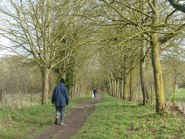
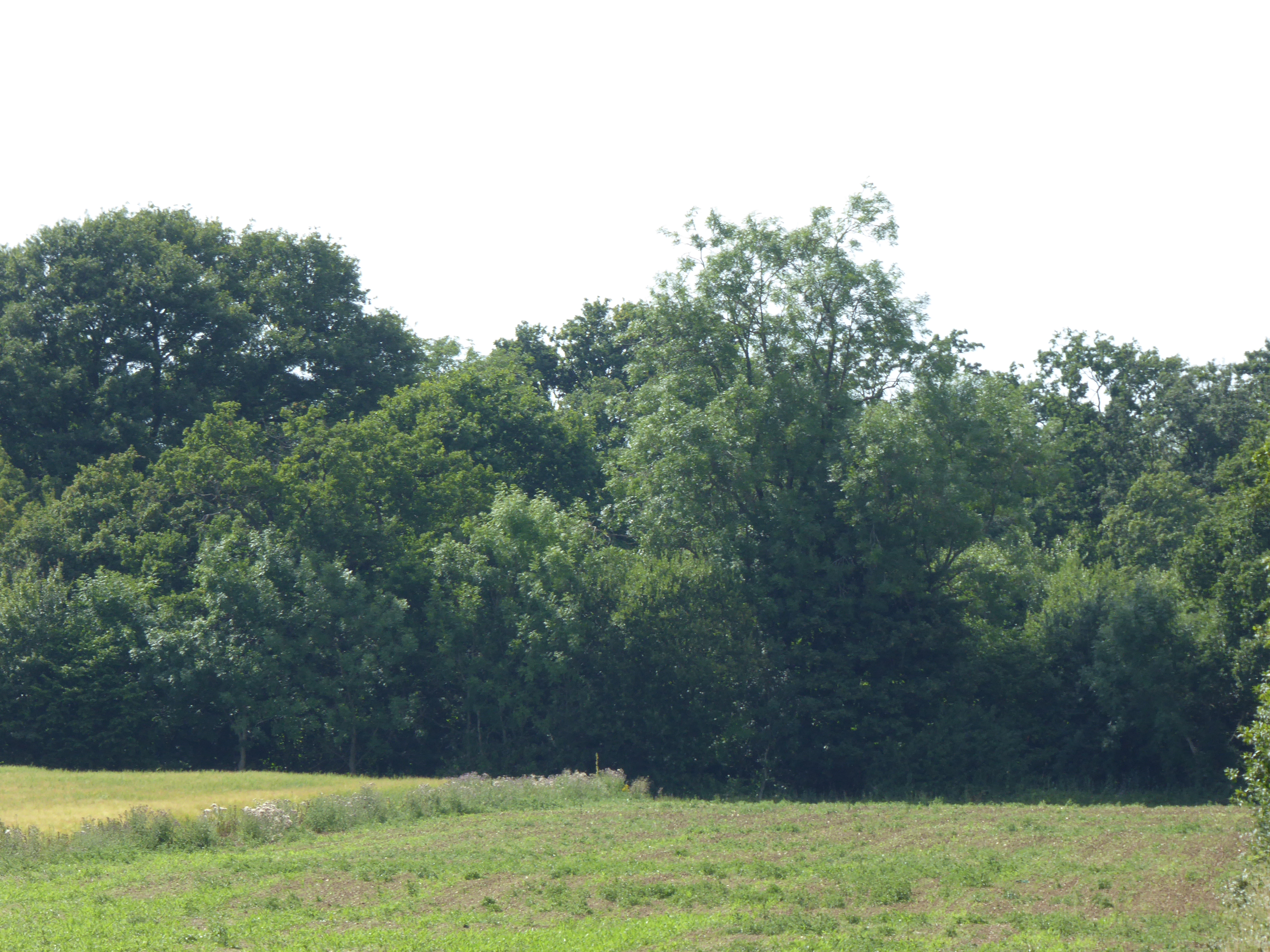
The wood is predominantly composed of oak and birch trees, interspersed with patches of holly and hazel. The diverse vegetation creates a rich habitat for a wide range of flora and fauna, making it a haven for nature enthusiasts and wildlife alike. Bluebells carpet the forest floor in the spring, creating a breathtakingly beautiful sight.

Bentley Wood is renowned for its rich biodiversity. It is home to a plethora of bird species, including woodpeckers, nightingales, and tawny owls. In addition, the wood provides a habitat for mammals such as deer, badgers, and foxes. The presence of these animals showcases the vital role the wood plays in supporting the local ecosystem.

The wood has a long history dating back to the medieval period. It has witnessed various changes in land use over the centuries, from being a hunting ground for the nobility to a source of timber for shipbuilding during the world wars. Despite these transformations, Bentley Wood has managed to retain its enchanting beauty and ecological significance.

Today, the wood is managed by the Forestry Commission, which ensures its conservation and protection. It offers visitors a network of well-maintained footpaths, allowing them to explore its hidden corners and appreciate the tranquility of nature. The wood's accessibility and stunning scenery make it a popular destination for walkers, photographers, and nature lovers seeking solace in its serene surroundings.

If you have any feedback on the listing, please let us know in the comments section below.

Bangrove Wood Images

Images are sourced within 2km of 52.313682/0.83082079 or Grid Reference TL9372. Thanks to Geograph Open Source API. All images are credited.

Holmlea, Ixworth Sixteenth century house <span class="nowrap"><a title="https://historicengland.org.uk/listing/the-list/list-entry/1376824" rel="nofollow ugc noopener" href="https://historicengland.org.uk/listing/the-list/list-entry/1376824">Link</a><img style="margin-left:2px;" alt="External link" title="External link - shift click to open in new window" src="https://s1.geograph.org.uk/img/external.png" width="10" height="10"/></span>
Holmlea, Ixworth
Sixteenth century house LinkExternal link
Ixworth Watermill from the road The mill which straddles the Black Bourn, is timber-framed and weather-boarded, with the lucum on the east end, nearest the camera. It has a slate roof and sash windows with small panes in flush frames. The wheel is a  cast iron breast shot water-wheel driving three pairs of under-driven stones. The machinery is almost complete; apart from some minor parts. The date '1800' is carved in large letters on the timber supporting the base of the upright shaft, which reliably dates installation of the machinery.
Ixworth Watermill from the road
The mill which straddles the Black Bourn, is timber-framed and weather-boarded, with the lucum on the east end, nearest the camera. It has a slate roof and sash windows with small panes in flush frames. The wheel is a cast iron breast shot water-wheel driving three pairs of under-driven stones. The machinery is almost complete; apart from some minor parts. The date '1800' is carved in large letters on the timber supporting the base of the upright shaft, which reliably dates installation of the machinery.
The tailrace at Ixworth Watermill from the bridge The mill which straddles the Black Bourn, is timber-framed and weather-boarded, with the lucum on the east end, nearest the camera. It has a slate roof and sash windows with small panes in flush frames. The wheel is a  cast iron breast shot water-wheel driving three pairs of under-driven stones. The machinery is almost complete; apart from some minor parts. The date '1800' is carved in large letters on the timber supporting the base of the upright shaft, which reliably dates installation of the machinery. <a title="https://www.geograph.org.uk/photo/6980397" href="https://www.geograph.org.uk/photo/6980397">Link</a>
The tailrace at Ixworth Watermill from the bridge
The mill which straddles the Black Bourn, is timber-framed and weather-boarded, with the lucum on the east end, nearest the camera. It has a slate roof and sash windows with small panes in flush frames. The wheel is a cast iron breast shot water-wheel driving three pairs of under-driven stones. The machinery is almost complete; apart from some minor parts. The date '1800' is carved in large letters on the timber supporting the base of the upright shaft, which reliably dates installation of the machinery. Link
War Memorial and church of St. Mary, Ixworth St. Mary's church is largely of the fourteenth and fisteenth centuries <span class="nowrap"><a title="https://historicengland.org.uk/listing/the-list/list-entry/1180826?section=official-listing" rel="nofollow ugc noopener" href="https://historicengland.org.uk/listing/the-list/list-entry/1180826?section=official-listing">Link</a><img style="margin-left:2px;" alt="External link" title="External link - shift click to open in new window" src="https://s1.geograph.org.uk/img/external.png" width="10" height="10"/></span>
The War Memorial is listed <span class="nowrap"><a title="https://historicengland.org.uk/listing/the-list/list-entry/1467918?section=official-listing" rel="nofollow ugc noopener" href="https://historicengland.org.uk/listing/the-list/list-entry/1467918?section=official-listing">Link</a><img style="margin-left:2px;" alt="External link" title="External link - shift click to open in new window" src="https://s1.geograph.org.uk/img/external.png" width="10" height="10"/></span>
War Memorial and church of St. Mary, Ixworth
St. Mary's church is largely of the fourteenth and fisteenth centuries LinkExternal link The War Memorial is listed LinkExternal link
Churchyard path and War Memorial, Ixworth Looking towards the High Street.
Churchyard path and War Memorial, Ixworth
Looking towards the High Street.
High Street, Ixworth From left to right :
18 High Street has a nineteenth century facade to a fifteenth century building <span class="nowrap"><a title="https://historicengland.org.uk/listing/the-list/list-entry/1031480?section=official-listing" rel="nofollow ugc noopener" href="https://historicengland.org.uk/listing/the-list/list-entry/1031480?section=official-listing">Link</a><img style="margin-left:2px;" alt="External link" title="External link - shift click to open in new window" src="https://s1.geograph.org.uk/img/external.png" width="10" height="10"/></span>
16 High Street is a seventeenth century cottage <span class="nowrap"><a title="https://historicengland.org.uk/listing/the-list/list-entry/1376843?section=official-listing" rel="nofollow ugc noopener" href="https://historicengland.org.uk/listing/the-list/list-entry/1376843?section=official-listing">Link</a><img style="margin-left:2px;" alt="External link" title="External link - shift click to open in new window" src="https://s1.geograph.org.uk/img/external.png" width="10" height="10"/></span>
12-14 High Street is a seventeenth century house which at one time was subdivided <span class="nowrap"><a title="https://historicengland.org.uk/listing/the-list/list-entry/1031479?section=official-listing" rel="nofollow ugc noopener" href="https://historicengland.org.uk/listing/the-list/list-entry/1031479?section=official-listing">Link</a><img style="margin-left:2px;" alt="External link" title="External link - shift click to open in new window" src="https://s1.geograph.org.uk/img/external.png" width="10" height="10"/></span>
10 High Street has a nineteenth century facade which hides a fourteenth century building <span class="nowrap"><a title="https://historicengland.org.uk/listing/the-list/list-entry/1376842?section=official-listing" rel="nofollow ugc noopener" href="https://historicengland.org.uk/listing/the-list/list-entry/1376842?section=official-listing">Link</a><img style="margin-left:2px;" alt="External link" title="External link - shift click to open in new window" src="https://s1.geograph.org.uk/img/external.png" width="10" height="10"/></span>
High Street, Ixworth
From left to right : 18 High Street has a nineteenth century facade to a fifteenth century building LinkExternal link 16 High Street is a seventeenth century cottage LinkExternal link 12-14 High Street is a seventeenth century house which at one time was subdivided LinkExternal link 10 High Street has a nineteenth century facade which hides a fourteenth century building LinkExternal link
High Street, Ixworth
The Black Bourne View from the bridge near Ixworth Abbey.
The Black Bourne
View from the bridge near Ixworth Abbey.
Avenue near Ixworth Abbey Forming part of the bridleway to Great Livermere.
Avenue near Ixworth Abbey
Forming part of the bridleway to Great Livermere.
Ixworth Abbey This part of the house is largely 17th century although the house contains considerable remains of the Augustinian Priory from which it developed. Listed Grade I.
The ground in front of the house, in agricultural use as recently as 2014 <a title="https://www.geograph.org.uk/photo/3798869" href="https://www.geograph.org.uk/photo/3798869">Link</a> , has been converted to a cricket pitch.
Ixworth Abbey
This part of the house is largely 17th century although the house contains considerable remains of the Augustinian Priory from which it developed. Listed Grade I. The ground in front of the house, in agricultural use as recently as 2014 Link , has been converted to a cricket pitch.
Water feature at Ixworth Abbey Mapped as a moat, it is thought more likely to have been a fish-pond attached to the Priory.
Water feature at Ixworth Abbey
Mapped as a moat, it is thought more likely to have been a fish-pond attached to the Priory.
Housing on Thetford Road, Ixworth The style is a real contrast to the buildings to be found along High Street
Housing on Thetford Road, Ixworth
The style is a real contrast to the buildings to be found along High Street
Tudor Cottage, Commister Lane, Ixworth Early 17th century (so not strictly Tudor), roughcast over timber frame, Listed Grade II.
Tudor Cottage, Commister Lane, Ixworth
Early 17th century (so not strictly Tudor), roughcast over timber frame, Listed Grade II.
Commister Lane, Ixworth Flint, brick and pantiles, with bright blue bins.

The range probably mid-19th century, forms part of 23 High Street, Listed Grade II.
Commister Lane, Ixworth
Flint, brick and pantiles, with bright blue bins. The range probably mid-19th century, forms part of 23 High Street, Listed Grade II.
The Pykkerell, Ixworth Village coaching inn, traditionally called The Pickerel, the name has been medievalised. Seen from Commister Lane.
The Pykkerell, Ixworth
Village coaching inn, traditionally called The Pickerel, the name has been medievalised. Seen from Commister Lane.
The Pykkerell, Ixworth Village coaching inn, traditionally called The Pickerel, the name has been medievalised. Early 16th century, timber frame enclosed in brick, heavily modernised in the 19th century. Listed Grade II.
The Pykkerell, Ixworth
Village coaching inn, traditionally called The Pickerel, the name has been medievalised. Early 16th century, timber frame enclosed in brick, heavily modernised in the 19th century. Listed Grade II.
Stable block at The Pykkerell, Ixworth Late 16th century, brick ground floor with timber-framed upper floor and crow-stepped gables. Garage doors added in the 20th century. Listed Grade II*.
Stable block at The Pykkerell, Ixworth
Late 16th century, brick ground floor with timber-framed upper floor and crow-stepped gables. Garage doors added in the 20th century. Listed Grade II*.
Gable shadows On the late 16th century stable block at The Pykkerell, Ixworth <a title="https://www.geograph.org.uk/photo/7102473" href="https://www.geograph.org.uk/photo/7102473">Link</a>
Gable shadows
On the late 16th century stable block at The Pykkerell, Ixworth Link
Show me another place!

Bangrove Wood is located at Grid Ref: TL9372 (Lat: 52.313682, Lng: 0.83082079)

Administrative County: Suffolk

District: West Suffolk

Police Authority: Suffolk

What 3 Words

///tanked.node.judges. Near Ixworth, Suffolk

Related Wikis

Bangrove Wood, Ixworth

Bangrove Wood is an 18.6-hectare (46-acre) biological Site of Special Scientific Interest north of Ixworth in Suffolk, England.This is ancient coppice...
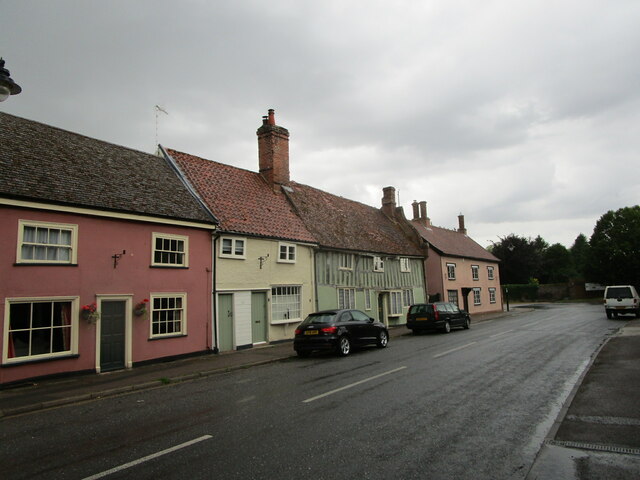
Bardwell, Suffolk

Bardwell is a village and civil parish in the West Suffolk district of Suffolk, England. == Location == Bardwell is located about ten miles north-east...
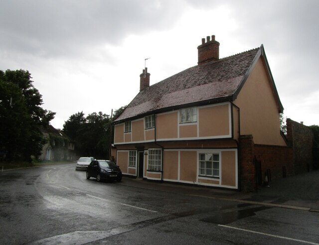
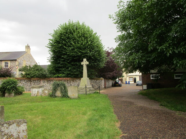
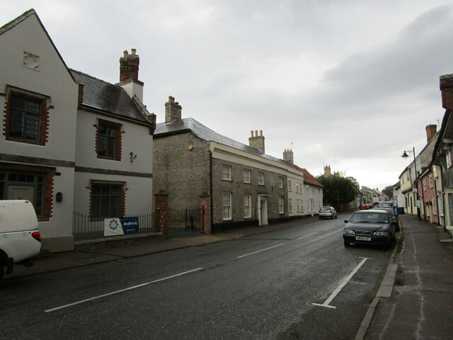
Ixworth

Ixworth is a village and civil parish in the West Suffolk district of Suffolk, England, 6 miles (9.7 km) north-east of Bury St Edmunds on the A143 road...

Ixworth Thorpe

Ixworth Thorpe is a small village and civil parish in the West Suffolk district of the English county of Suffolk. The village is located on the A1088 road...

Ixworth Priory

Ixworth Priory was an Augustine priory at Ixworth in the English county of Suffolk. It was founded in the 12th century and dissolved in 1537. The priory...
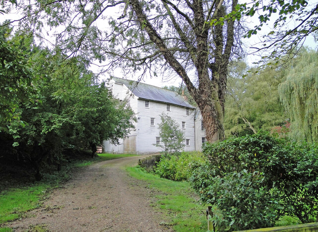
Bardwell Windmill

Bardwell Mill is a Grade II* listed tower mill at Bardwell, Suffolk, England, which is under restoration. == History == Bardwell Mill was built in 1823...

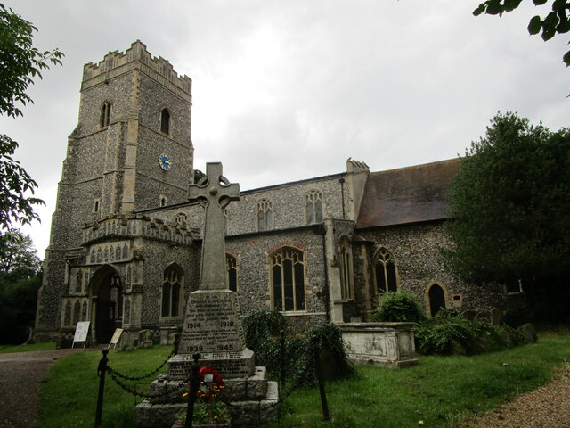
St Andrew's Church, Sapiston

St Andrew's Church is a redundant Anglican church in the village of Sapiston, Suffolk, England. It is recorded in the National Heritage List for England...
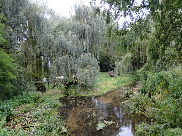
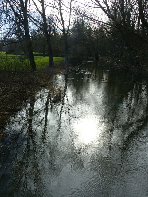
Mickle Mere

Mickle Mere is a 17 hectare nature reserve south of Ixworth in Suffolk. It is managed by the Suffolk Wildlife Trust.This area of open water and wet meadows...

Have you been to Bangrove Wood?

Leave your review of Bangrove Wood below (or comments, questions and feedback).