High Wood

Wood, Forest in Suffolk Babergh

England

High Wood

Great Waldingfield
Great Waldingfield Credit: mym

High Wood is a woodland area located in the county of Suffolk, England. With its picturesque surroundings and abundant natural beauty, it is a popular destination for nature enthusiasts and visitors seeking tranquility. The wood is situated near the village of High Suffolk and covers a significant area of land, making it an ideal spot for hiking, bird watching, and other outdoor activities.

High Wood is home to a diverse range of flora and fauna, including various tree species such as oak, beech, and birch. This rich vegetation provides a habitat for numerous bird species, including woodpeckers, owls, and thrushes. Additionally, the wood is known for its vibrant display of wildflowers during the spring and summer months.

The woodland is also steeped in history, with evidence of human activity dating back centuries. It is believed that High Wood was once part of a larger forest that covered much of the surrounding area. In fact, remnants of ancient settlements and burial mounds have been discovered within the wood, providing a fascinating glimpse into the region's past.

For visitors, High Wood offers a range of amenities and facilities to enhance their experience. There are well-maintained walking trails, picnic areas, and even a visitors' center where one can learn more about the wood's history and ecology. Furthermore, the wood is easily accessible by car and public transport, making it a convenient destination for both locals and tourists.

In summary, High Wood in Suffolk is a captivating woodland area that offers a unique blend of natural beauty, wildlife, and historical significance. Whether one seeks peaceful walks, bird watching opportunities, or a chance to connect with nature, High Wood provides an unforgettable experience.

If you have any feedback on the listing, please let us know in the comments section below.

High Wood Images

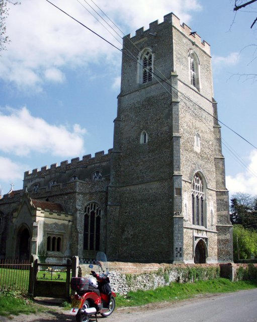
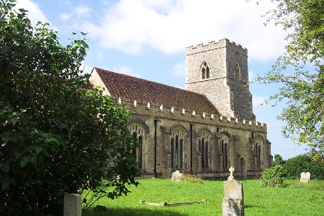
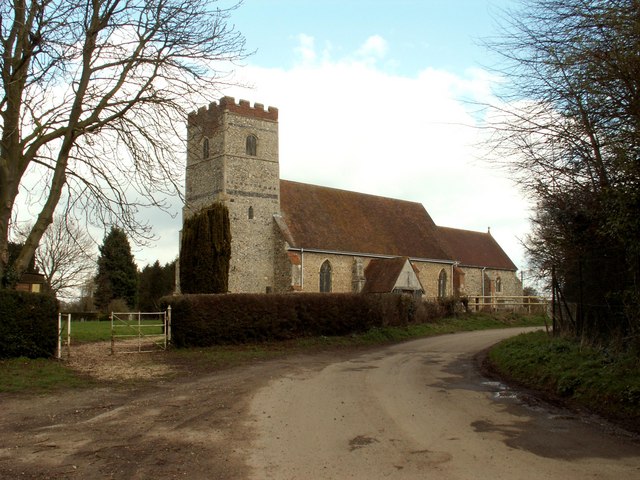
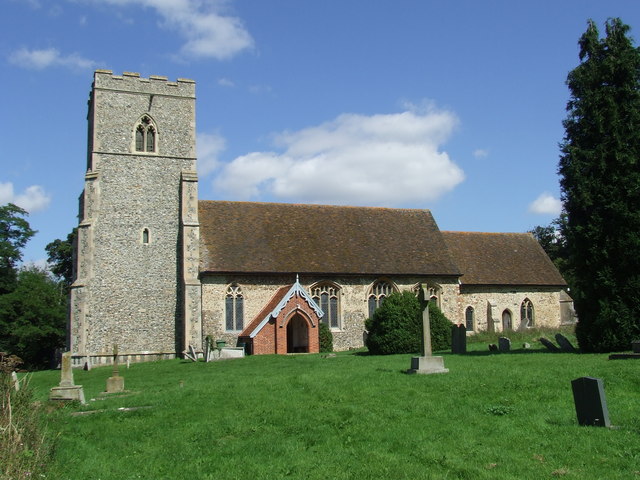
Images are sourced within 2km of 52.048964/0.81227172 or Grid Reference TL9242. Thanks to Geograph Open Source API. All images are credited.

Great Waldingfield
Great Waldingfield
St. Mary the Virgin, Edwardstone
All Saints church, Newton, Suffolk The tower of this church is 15th century but there is evidence of Norman work, which is a blocked doorway with zigzag ornament.
All Saints church, Newton, Suffolk
The tower of this church is 15th century but there is evidence of Norman work, which is a blocked doorway with zigzag ornament.
Gatehouse to Edwardstone Hall, Suffolk The entrance through this gatehouse leads to the parish church of Edwardstone. The actual Hall has largely been demolished and the church sits in the hall's grounds.
Gatehouse to Edwardstone Hall, Suffolk
The entrance through this gatehouse leads to the parish church of Edwardstone. The actual Hall has largely been demolished and the church sits in the hall's grounds.
Meadow View, Great Waldingfield A prefab out in the country.
Meadow View, Great Waldingfield
A prefab out in the country.
Cornfield near Great Waldingfield Extensive arable farming, seen from the back lane from Great Waldingfield to Edwardstone.
Cornfield near Great Waldingfield
Extensive arable farming, seen from the back lane from Great Waldingfield to Edwardstone.
Sunken lane between Great Waldingfield and Edwardstone A sunken lane like this, running in a cutting and overhung by trees is rather uncharacteristic of Suffolk, where open fields, roads and skies are more the norm.
Sunken lane between Great Waldingfield and Edwardstone
A sunken lane like this, running in a cutting and overhung by trees is rather uncharacteristic of Suffolk, where open fields, roads and skies are more the norm.
Footpath near Little Waldingfield A good broad swathe has been cut through this cornfield to allow space for the footpath.
Footpath near Little Waldingfield
A good broad swathe has been cut through this cornfield to allow space for the footpath.
Footpath near Edwardstone A very narrow swathe cut through this cornfield barely accommodates the passage of walkers. Contrast with <a href="https://www.geograph.org.uk/gridref/TL9343">TL9343</a>.
Footpath near Edwardstone
A very narrow swathe cut through this cornfield barely accommodates the passage of walkers. Contrast with TL9343.
Public Footpath, close to Little Waldingfield, Suffolk
Farm Farm Buildings near Newton Church
Farm
Farm Buildings near Newton Church
Metal graveyard By the lane beyond Archers Farm, Little Waldingfield. What amused me most was the image of the tractor eyeing up the Fiat, but the expression frozen on its face!
Metal graveyard
By the lane beyond Archers Farm, Little Waldingfield. What amused me most was the image of the tractor eyeing up the Fiat, but the expression frozen on its face!
Metal graveyard (again) The 180 degree view from <a href="https://www.geograph.org.uk/photo/477983">TL9344 : Metal graveyard</a> showing the relative scale of the two protagonists! The tractor even has a tree growing through its undercarriage.
Metal graveyard (again)
The 180 degree view from TL9344 : Metal graveyard showing the relative scale of the two protagonists! The tractor even has a tree growing through its undercarriage.
Field Edge Footpath and field boundary near to Edwardstone, Suffolk.
Field Edge
Footpath and field boundary near to Edwardstone, Suffolk.
Footbridge And Field Boundary Small footbridge across a small ditch near to Edwardstone, Suffolk.
Footbridge And Field Boundary
Small footbridge across a small ditch near to Edwardstone, Suffolk.
Waiting To Get Back To Work Combine harvester parked up for the weekend near to Edwardstone, Suffolk.
Waiting To Get Back To Work
Combine harvester parked up for the weekend near to Edwardstone, Suffolk.
The Business End The front end of a combine harvester parked up for the weekend near to Edwardstone, Suffolk.
The Business End
The front end of a combine harvester parked up for the weekend near to Edwardstone, Suffolk.
St. Mary The Virgin St. Mary the Virgin, Edwardstone, Suffolk. More info see <span class="nowrap"><a title="http://www.suffolkchurches.co.uk/edwardstone.htm" rel="nofollow ugc noopener" href="http://www.suffolkchurches.co.uk/edwardstone.htm">Link</a><img style="margin-left:2px;" alt="External link" title="External link - shift click to open in new window" src="https://s1.geograph.org.uk/img/external.png" width="10" height="10"/></span>
St. Mary The Virgin
St. Mary the Virgin, Edwardstone, Suffolk. More info see LinkExternal link
Show me another place!

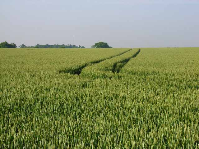
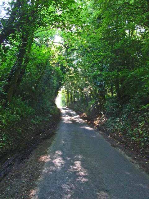
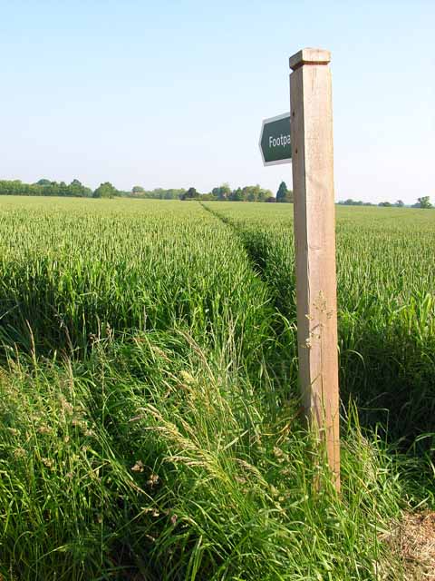
High Wood is located at Grid Ref: TL9242 (Lat: 52.048964, Lng: 0.81227172)

Administrative County: Suffolk

District: Babergh

Police Authority: Suffolk

What 3 Words

///impulsive.goofy.leap. Near Great Waldingfield, Suffolk

Nearby Locations

High Wood Park Wood

Related Wikis

Edwardstone Woods

Edwardstone Woods is a 27 hectare biological Site of Special Scientific Interest near Edwardstone in Suffolk, England. It is in four areas, Park Wood with...

Edwardstone

Edwardstone is a village and civil parish in the Babergh district, in the county of Suffolk, England. The parish contains the hamlets of Mill Green, Priory...

All Saints Church, Newton Green

All Saints Church is a partly redundant Anglican church in the village of Newton Green, Suffolk, England. It is recorded in the National Heritage List...

Babergh Hundred

Babergh was a hundred of Suffolk, consisting of 71,882 acres (290.90 km2). Its name survives in that of Babergh District, the local government district...

Have you been to High Wood?

Leave your review of High Wood below (or comments, questions and feedback).