Ford Heath
Settlement in Shropshire
England
Ford Heath

Ford Heath is a small village located in the county of Shropshire, England. It is situated approximately 5 miles east of the town of Shrewsbury, the county town of Shropshire. The village lies within the rural landscape of the county, surrounded by rolling hills and farmland.
Ford Heath is a picturesque village with a population of around 500 residents. The village is primarily residential, with a mix of traditional and modern houses. The architecture of the village reflects its long history, with some buildings dating back several centuries.
The village is well-connected to neighboring areas by a network of roads, including the B4380, which passes through it. This allows for easy access to Shrewsbury and other nearby towns and villages. The rural location of Ford Heath provides a peaceful and tranquil environment, away from the hustle and bustle of city life.
Although small in size, Ford Heath has a strong sense of community. It has a village hall that serves as a social hub for various activities and events. The village also has a local pub, providing a gathering place for residents and visitors alike.
Surrounded by natural beauty, Ford Heath offers plenty of opportunities for outdoor activities. The village is located close to the River Severn, providing access to riverside walks and fishing spots. The nearby Shropshire Hills Area of Outstanding Natural Beauty offers stunning landscapes and scenic trails for hiking and cycling enthusiasts.
Overall, Ford Heath is a charming and peaceful village, offering its residents a close-knit community and easy access to the beautiful countryside of Shropshire.
If you have any feedback on the listing, please let us know in the comments section below.
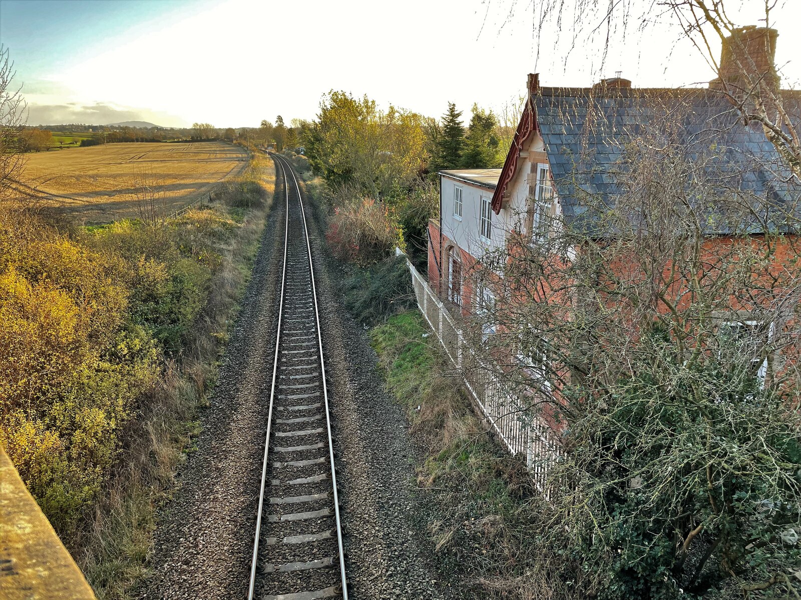
Ford Heath Images
Images are sourced within 2km of 52.695155/-2.884227 or Grid Reference SJ4011. Thanks to Geograph Open Source API. All images are credited.


Ford Heath is located at Grid Ref: SJ4011 (Lat: 52.695155, Lng: -2.884227)
Unitary Authority: Shropshire
Police Authority: West Mercia
What 3 Words
///firms.scrapped.formally. Near Ford, Shropshire
Nearby Locations
Related Wikis

Whistones Priory
Whistones Priory was a priory in Worcestershire, England. The House of St. Mary Magdalene, at Whistones, of the order of St. Bernard of Clairvaux, located...
Yockleton railway station
Yockleton railway station was a station in Yockleton, Shropshire, England. The station was opened in 1862 and closed in 1960. == References == == Further... ==

Nox, Shropshire
Nox is a hamlet in Shropshire, England, around a staggered junction on the B4386 road (historically a Roman Road) between the small villages of Cruckton...

Yockleton
Yockleton is a village in Shropshire, England. Yockleton is west of the county town of Shrewsbury, on the B4386 road to Montgomery and near the River Severn...

Cardeston
Cardeston is a small settlement in the civil parish of Alberbury with Cardeston, in Shropshire, England. It is near the A458 road and is 11 miles (18 km...

A458 road
The A458 is a route on the UK highway network that runs from Mallwyd, near Machynlleth, in Wales, merging with the A456 Hagley Road and the Quinton Expressway...
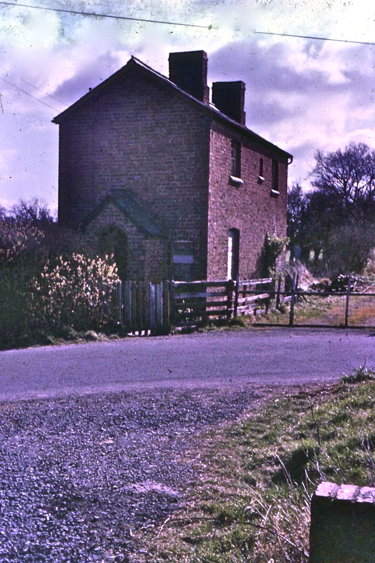
Shoot Hill railway station
Shoot Hill railway station was a station to the south of Ford, Shropshire, England. The station was opened in 1921 and closed in 1933. Although Official...
Ford and Crossgates railway station
Ford and Crossgates railway station was a station in Ford, Shropshire, England. The station was opened in 1866 and closed in 1933. == References == �...
Nearby Amenities
Located within 500m of 52.695155,-2.884227Have you been to Ford Heath?
Leave your review of Ford Heath below (or comments, questions and feedback).