Ford End

Settlement in Essex Uttlesford

England

Ford End

Clavering, Essex This picture shows the approach to St. Mary and St. Clement's church, a 14th century building with many interesting features. The fine 15th century house is believed to have originally been built as almshouses.
Clavering, Essex Credit: Robert Edwards

Ford End is a small village located in the county of Essex, England. Situated approximately 5 miles southeast of the town of Chelmsford, it is a rural settlement surrounded by picturesque countryside. The village is located near the A12 road, which provides convenient access to nearby towns and cities.

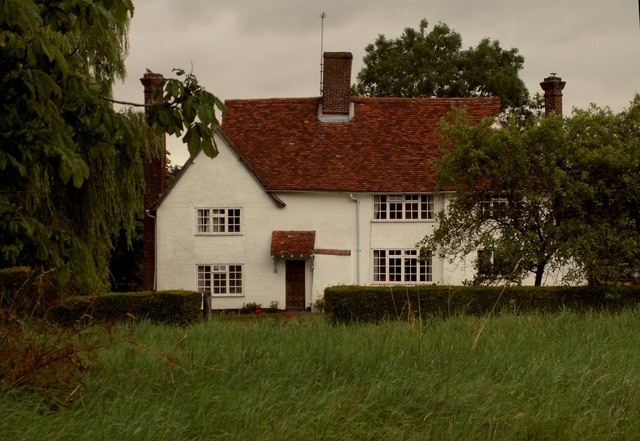
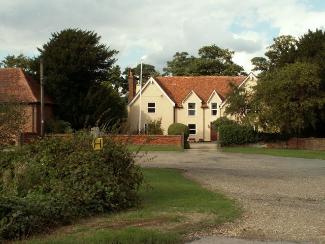
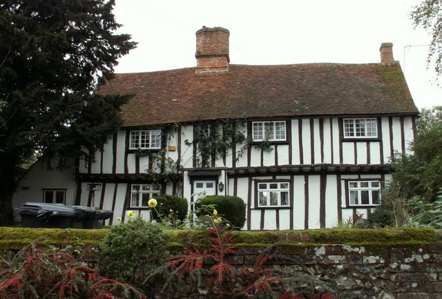
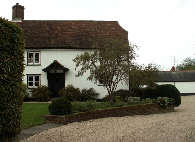
Ford End is known for its charming and peaceful atmosphere. The village is characterized by a mix of traditional cottages and more modern houses, creating a diverse architectural landscape. The local community is tight-knit and friendly, with a strong sense of community spirit.

Despite its small size, Ford End offers a range of amenities for its residents. The village has a local primary school, providing education for children in the area. Additionally, there is a village hall that serves as a hub for various community activities and events.

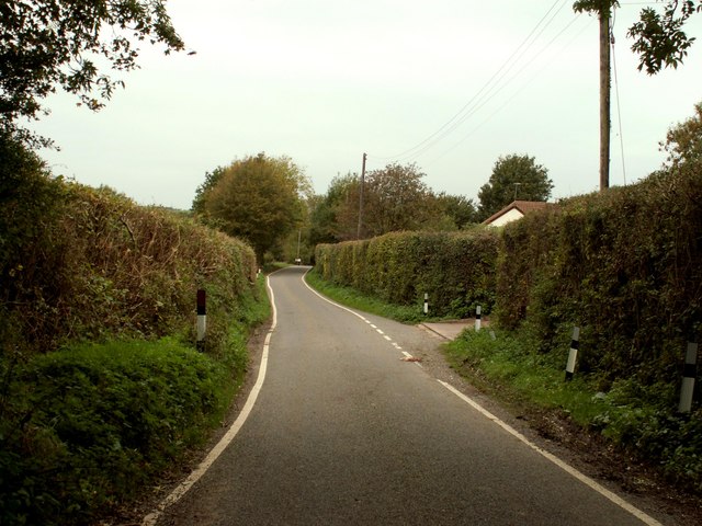
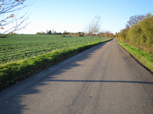
The surrounding countryside provides ample opportunities for outdoor activities and exploration. There are numerous walking and cycling routes in the area, allowing residents to enjoy the natural beauty of the Essex countryside. Ford End is also close to the Danbury Country Park, which offers extensive woodland and lakeside walks.

While Ford End may be a quiet village, it benefits from its proximity to larger towns and cities. The nearby town of Chelmsford provides a range of shopping, dining, and entertainment options, ensuring that residents have access to all necessary amenities. Overall, Ford End offers a peaceful and idyllic place to live, with a strong sense of community and easy access to the surrounding countryside.

If you have any feedback on the listing, please let us know in the comments section below.
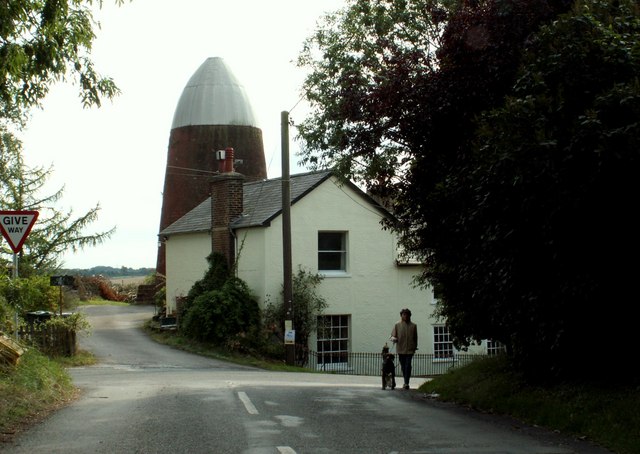
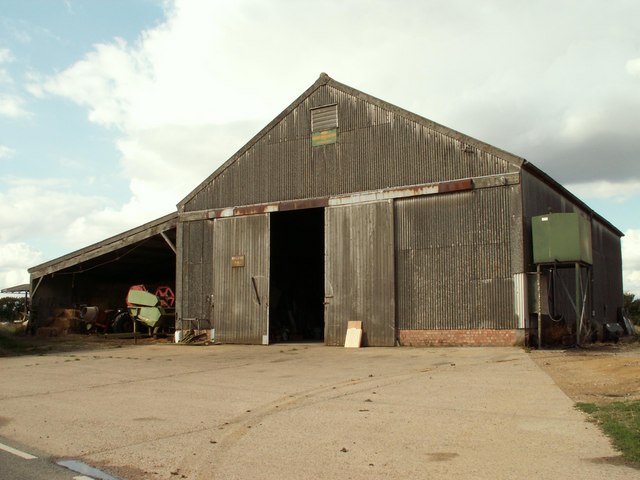
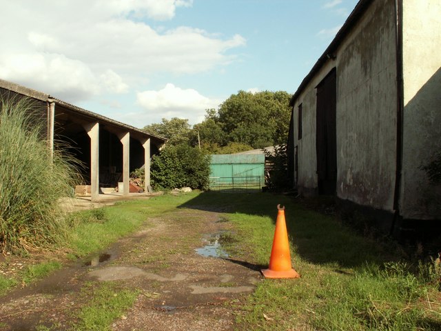
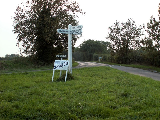
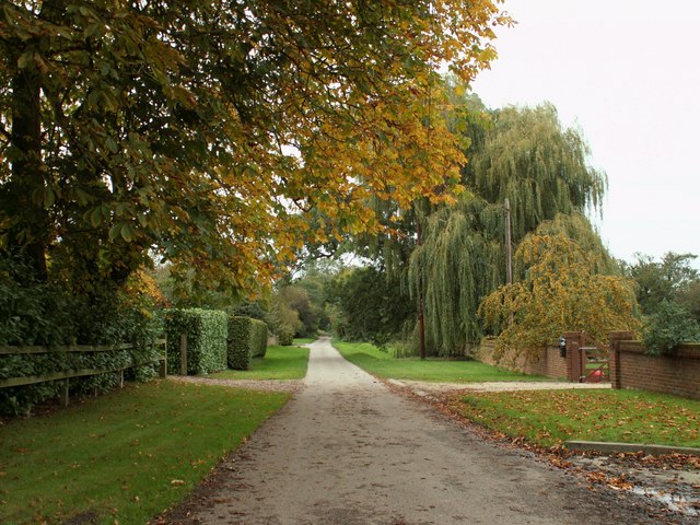
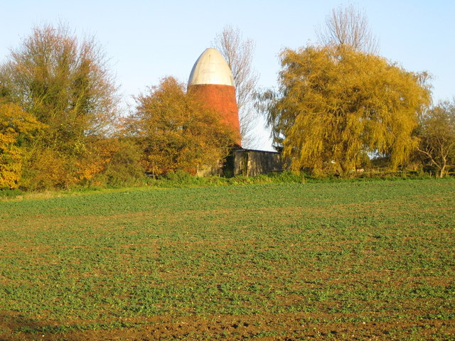
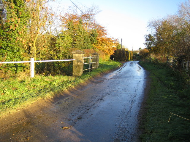
Ford End Images

Images are sourced within 2km of 51.96656/0.112886 or Grid Reference TL4531. Thanks to Geograph Open Source API. All images are credited.

Clavering, Essex This picture shows the approach to St. Mary and St. Clement's church, a 14th century building with many interesting features. The fine 15th century house is believed to have originally been built as almshouses.
Clavering, Essex
This picture shows the approach to St. Mary and St. Clement's church, a 14th century building with many interesting features. The fine 15th century house is believed to have originally been built as almshouses.
House at Washall Green, Herts. This appears to be the only house that stands at the junction known as Washall Green, which is near to Brent Pelham.
House at Washall Green, Herts.
This appears to be the only house that stands at the junction known as Washall Green, which is near to Brent Pelham.
Clavering Place Farm, Stickling Green, Clavering, Essex
Clavering Mill, Clavering, Essex A short distance north of this windmill without sails is another without sails. Both have been restored for living accommodation.
Clavering Mill, Clavering, Essex
A short distance north of this windmill without sails is another without sails. Both have been restored for living accommodation.
Barn at Brocking Farm, Roast Green, Essex Roast Green is just north-west of Clavering.
Barn at Brocking Farm, Roast Green, Essex
Roast Green is just north-west of Clavering.
Rectory Farm, Meesden, Herts.
Signpost along the B.1038 near Clavering, Essex
A ford at Clavering, Essex
The road at Ford End
Farmhouse at Yew Tree Farm This is a very attractive timber-framed house, probably dating back to the early part of the 16th century.
Farmhouse at Yew Tree Farm
This is a very attractive timber-framed house, probably dating back to the early part of the 16th century.
Farmhouse at Further Ford End, Essex The name of the farm is not known.
Farmhouse at Further Ford End, Essex
The name of the farm is not known.
Country road on the way to Lower Green
Clavering: Disused windmills This grid square, to the north-west of Clavering, is blessed with two former windmills. The North mill is in sight directly at the end of the road, whilst the similar South mill is visible to the left, and immediately to the left of the prominent conifer tree on the horizon. Close-up views of the two are in <a href="https://www.geograph.org.uk/photo/281333">TL4632 : Clavering: North windmill</a> and <a href="https://www.geograph.org.uk/photo/281340">TL4632 : Clavering: South windmill</a>
Clavering: Disused windmills
This grid square, to the north-west of Clavering, is blessed with two former windmills. The North mill is in sight directly at the end of the road, whilst the similar South mill is visible to the left, and immediately to the left of the prominent conifer tree on the horizon. Close-up views of the two are in TL4632 : Clavering: North windmill and TL4632 : Clavering: South windmill
Clavering: North windmill This is the larger of the two Clavering windmills and was built in 1811 for milling corn. The relative locations of the two mills can be seen in <a href="https://www.geograph.org.uk/photo/281323">TL4632 : Clavering: Disused windmills</a>. It is now a private residence.
Clavering: North windmill
This is the larger of the two Clavering windmills and was built in 1811 for milling corn. The relative locations of the two mills can be seen in TL4632 : Clavering: Disused windmills. It is now a private residence.
Clavering: South windmill This is the smaller of the two Clavering windmills and was built in 1757 for milling corn. The relative locations of the two mills can be seen in <a href="https://www.geograph.org.uk/photo/281323">TL4632 : Clavering: Disused windmills</a>. It is now a private residence.
Clavering: South windmill
This is the smaller of the two Clavering windmills and was built in 1757 for milling corn. The relative locations of the two mills can be seen in TL4632 : Clavering: Disused windmills. It is now a private residence.
Clavering Old half-timbered jettied houses in Middle Street.
Clavering
Old half-timbered jettied houses in Middle Street.
River Stort in Clavering This is Middle Street ford, leading to the lane to Mill End. The graduated pole on the right is a water level gauge board showing those intending to cross what the depth of the water is.
River Stort in Clavering
This is Middle Street ford, leading to the lane to Mill End. The graduated pole on the right is a water level gauge board showing those intending to cross what the depth of the water is.
Deer's Green: Cock Lane The bridge carries Cock Lane over the River Stort.
Deer's Green: Cock Lane
The bridge carries Cock Lane over the River Stort.
Show me another place!

Ford End is located at Grid Ref: TL4531 (Lat: 51.96656, Lng: 0.112886)

Administrative County: Essex

District: Uttlesford

Police Authority: Essex

What 3 Words

///tonight.defectors.rungs. Near Buntingford, Hertfordshire

Nearby Locations

Ford End Starling's Green

Related Wikis

Meesden

Meesden is a village and civil parish of the East Hertfordshire district of Hertfordshire, England. Nearby settlements include Anstey and Brent Pelham...

Clavering Castle

Clavering Castle remains are situated in the small parish village of Clavering in the county of Essex, England, 50m north of the church of St Mary and...

Brent Pelham Windmill

Brent Pelham Windmill is a Grade II listed smock mill at Brent Pelham, Hertfordshire, England which is derelict. == History == Brent Pelham Mill was built...

Brent Pelham

Brent Pelham is a village and civil parish in the East Hertfordshire district, in the county of Hertfordshire, England, and situated approximately 5 miles...

Wicken Bonhunt

Wicken Bonhunt is a village and a civil parish of north-west Essex, in the non-metropolitan district of Uttlesford, England. It is on the B1038 (Buntingford...
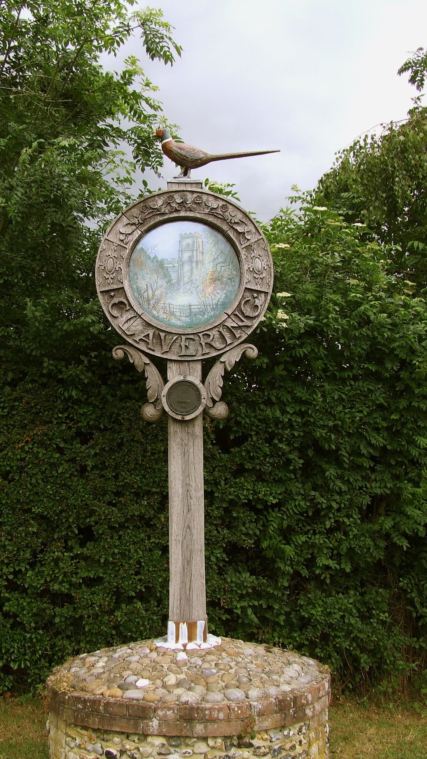
Clavering, Essex

Clavering is a village and also a parish in north-west Essex in England. It is about 20 miles (32 km) from Cambridge and 50 miles (80 km) from Southend...

Berden

Berden is a village and civil parish in Essex, England. Berden village is approximately 6 miles (10 km) north from Bishop's Stortford, Hertfordshire and...

Berden Priory

Berden Priory was a priory in Essex, England. This site now has a Grade II* listed late 16th-century timber-framed house, the centre of Berden Priory Farm...

Related Videos

A Clavering Circular. 14/4/21

Around 8.5 miles of walking in North West Essex, courtesy of Essex Walks.com. It was another chill, breezy April day, with grey ...

Development Opportunity In Clavering, Saffron Walden, Essex

A rare opportunity to purchase a building plot for a one-and-a-half-storey dwelling in the sought-after village of Clavering. The plot ...

Nearby Amenities

Located within 500m of 51.96656,0.112886
Ford End
Place: hamlet
Lat/Long: 51.9674965/0.1118255
Power: pole
Lat/Long: 51.9653406/0.1190699
Power: pole
Lat/Long: 51.9648828/0.117993
Power: pole
Lat/Long: 51.9642813/0.1176336
Power: pole
Lat/Long: 51.9651117/0.1169336
Power: pole
Lat/Long: 51.9636913/0.1172554
Power: pole
Lat/Long: 51.9659231/0.1170945
Power: pole
Lat/Long: 51.9656133/0.1181473
Power: pole
Lat/Long: 51.9651357/0.1185912
Power: pole
Lat/Long: 51.966214/0.1135246
Power: pole
Lat/Long: 51.9659264/0.1142823
Power: pole
Lat/Long: 51.9653489/0.1157776
Power: pole
Lat/Long: 51.9667378/0.1126958
Power: pole
Lat/Long: 51.967365/0.1098754
Power: pole
Lat/Long: 51.9668783/0.1112098
Power: pole
Lat/Long: 51.9655902/0.1151366
Barrier: entrance
Lat/Long: 51.9664384/0.1097276
Barrier: stile
Lat/Long: 51.9646076/0.1130565
Barrier: entrance
Lat/Long: 51.9651108/0.1119836
Barrier: entrance
Lat/Long: 51.9645809/0.1131147
The data included in this document is from www.openstreetmap.org. The data is made available under ODbL.

Have you been to Ford End?

Leave your review of Ford End below (or comments, questions and feedback).