Chestnut Grove
Wood, Forest in Suffolk Babergh
England
Chestnut Grove
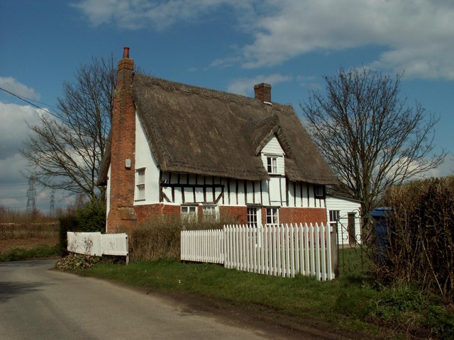
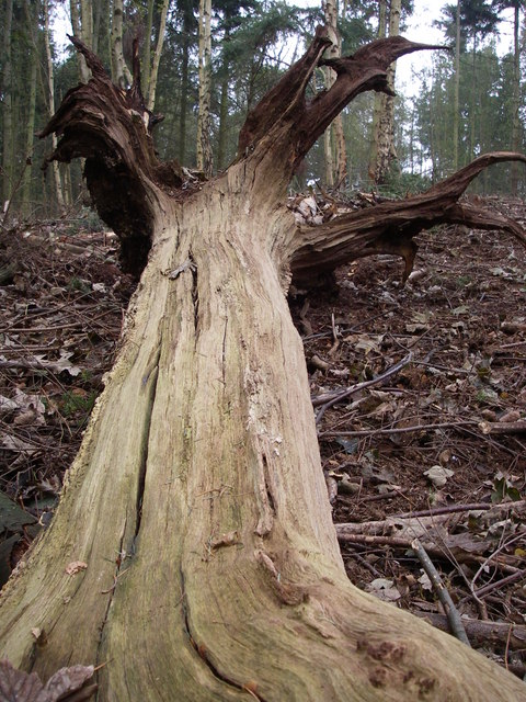
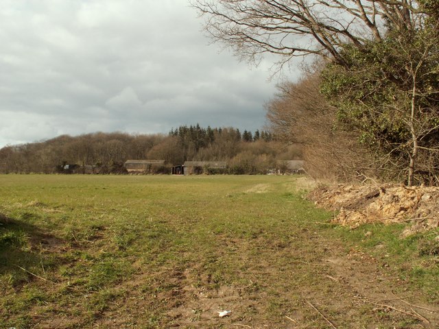
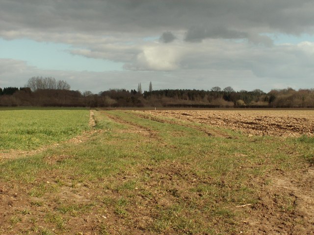
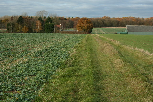
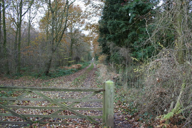
Chestnut Grove is a picturesque woodland located in Suffolk, England. This serene forest is known for its dense clusters of chestnut trees that cover the landscape, giving the grove its name. Spanning approximately 50 acres, Chestnut Grove is a popular destination for nature enthusiasts and hikers seeking a tranquil escape from the hustle and bustle of city life.
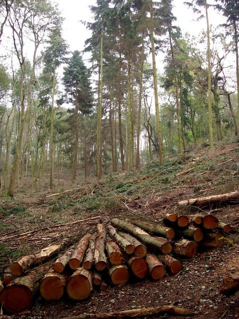
The woodland is characterized by its rich biodiversity, with a variety of plant and animal species calling it home. The forest floor is covered with a lush carpet of ferns, mosses, and wildflowers, providing a vibrant and colorful backdrop to the towering chestnut trees. The air is filled with the sweet scent of wildflowers and the sound of chirping birds, creating a truly immersive natural experience.
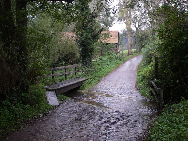
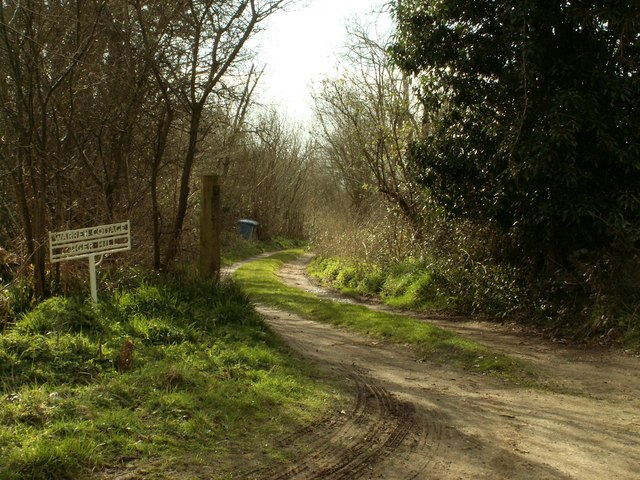
Chestnut Grove is intersected by several well-maintained trails that wind through its enchanting landscape. These trails offer visitors the opportunity to explore the woodland at their own pace, with options for both leisurely strolls and more challenging hikes. Along the way, hikers may encounter hidden streams, charming wooden bridges, and occasional glimpses of wildlife such as deer and squirrels.
For those seeking a peaceful retreat, Chestnut Grove provides several designated picnic areas where visitors can relax and enjoy the serene surroundings. The grove also offers camping facilities for those who wish to immerse themselves in the forest for longer periods.
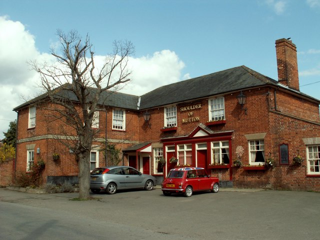
Overall, Chestnut Grove in Suffolk is a captivating woodland that offers a rich natural experience, showcasing the beauty of Suffolk's countryside. Whether visitors are seeking a leisurely walk, a challenging hike, or simply a moment of tranquility, Chestnut Grove provides the perfect setting to connect with nature.
If you have any feedback on the listing, please let us know in the comments section below.
Chestnut Grove Images
Images are sourced within 2km of 51.996479/0.80360371 or Grid Reference TL9236. Thanks to Geograph Open Source API. All images are credited.


Chestnut Grove is located at Grid Ref: TL9236 (Lat: 51.996479, Lng: 0.80360371)
Administrative County: Suffolk
District: Babergh
Police Authority: Suffolk
What 3 Words
///disengage.good.haggis. Near Bures St Mary, Suffolk
Nearby Locations
Related Wikis

Tiger Hill, Suffolk
Tiger Hill is a 21 hectare Local Nature Reserve between Bures St Mary and Leavenheath in Suffolk. It is owned by [a group of landowners and declared under...
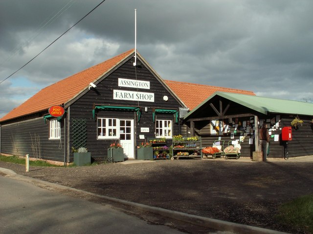
Assington
Assington is a village in Suffolk, England, 4 miles (6.4 km) south-east of Sudbury. At the 2011 Census it had a population of 402, estimated at 445 in...

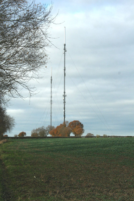
Sudbury transmitting station
The Sudbury transmitting station is a facility for telecommunications and broadcasting transmission at Sudbury, England. It consists of two guyed masts...
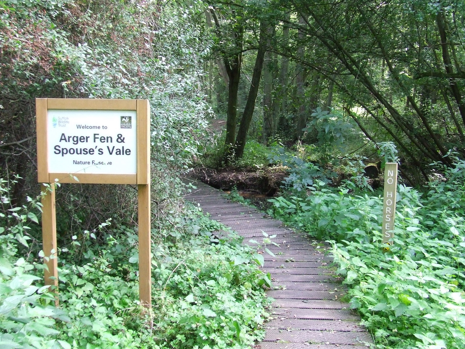
Arger Fen
Arger Fen is a 49.7-hectare (123-acre) biological Site of Special Scientific Interest (SSSI) south-east of Sudbury in Suffolk, England. The site occupies...
Leavenheath
Leavenheath is a village and civil parish in Suffolk, England, close to the Essex border. Located on the A134 between Sudbury and Colchester, it is part...
Bures, England
Bures is a village in eastern England that straddles the Essex/Suffolk border, made up of two civil parishes: Bures Hamlet in Essex and Bures St. Mary...
Bures St Mary
Bures St Mary is a civil parish in the Babergh district of the English county of Suffolk. In 2005 it had a population of 940, reducing to 918 at the 2011...

Little Cornard
Little Cornard is a village and civil parish in Suffolk, England. Located around 0.5 miles (0.8 km) from its larger sibling, Great Cornard, on the B1508...
Nearby Amenities
Located within 500m of 51.996479,0.80360371Have you been to Chestnut Grove?
Leave your review of Chestnut Grove below (or comments, questions and feedback).