Bellhall Plantation
Wood, Forest in Norfolk Breckland
England
Bellhall Plantation

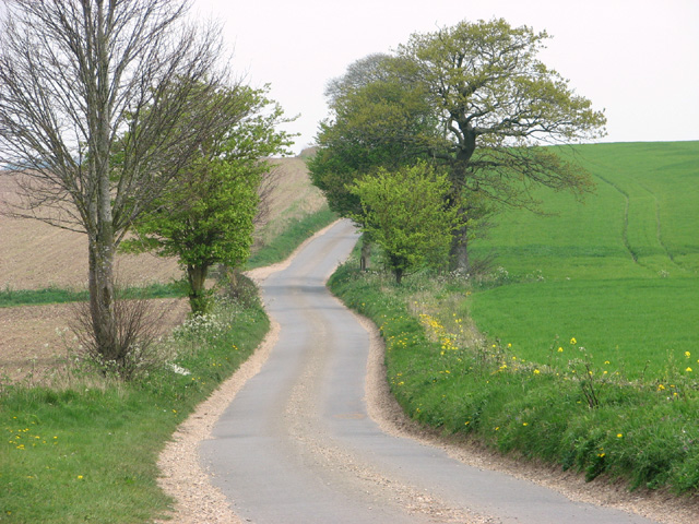
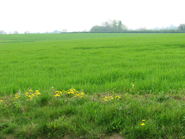
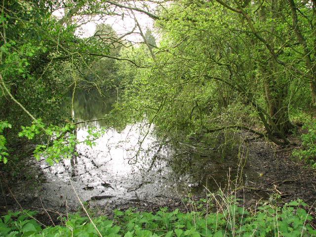
Bellhall Plantation is located in Norfolk, a county in eastern England. It is a sprawling estate known for its lush woodlands and expansive forested areas. The plantation covers a vast area, encompassing hundreds of acres of land that are predominantly covered in various types of trees, including oak, beech, and pine.
The estate is a haven for nature lovers and outdoor enthusiasts, offering numerous walking trails and pathways that wind through the dense woodlands. These trails allow visitors to explore the diverse flora and fauna that call Bellhall Plantation home. It is not uncommon to spot deer, rabbits, and a variety of bird species while strolling through the forest.
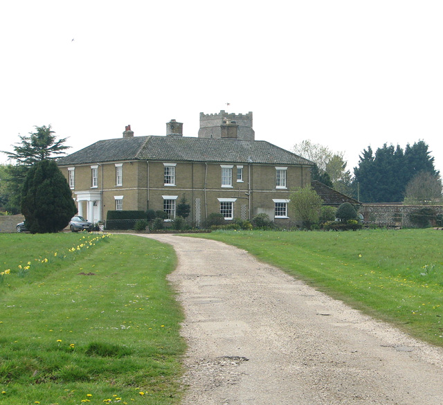
In addition to its natural beauty, Bellhall Plantation also boasts a rich history. The plantation dates back several centuries, with records suggesting its existence as early as the 17th century. Over the years, the estate has been carefully managed and maintained, preserving its unique character and charm.
Visitors to Bellhall Plantation can enjoy a peaceful and tranquil environment, away from the hustle and bustle of city life. The estate offers picnic areas and designated spots for wildlife observation, making it an ideal destination for a day trip or a weekend getaway. Whether you are an avid hiker, a nature enthusiast, or simply seeking a serene escape, Bellhall Plantation provides a captivating experience amidst Norfolk's natural beauty.
If you have any feedback on the listing, please let us know in the comments section below.
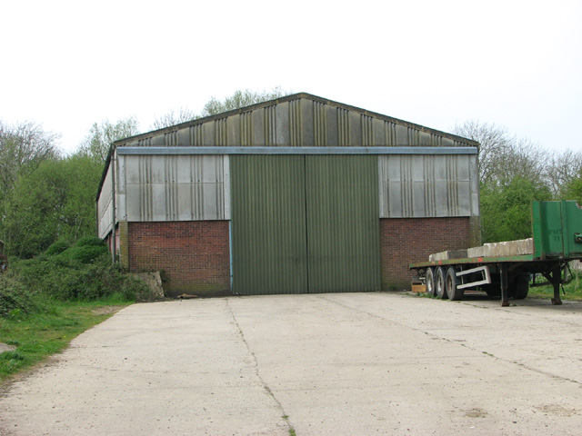
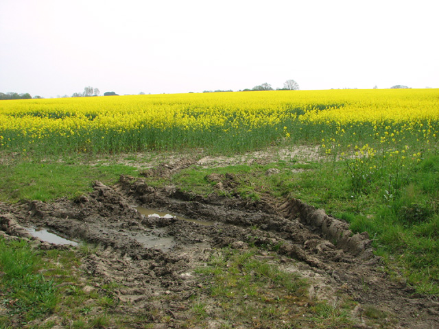
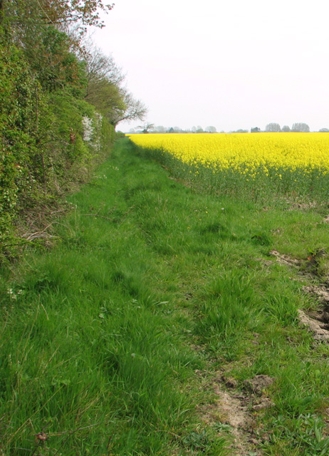
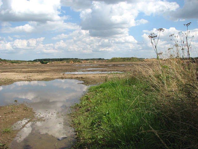
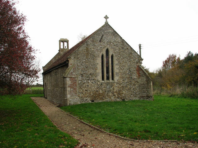
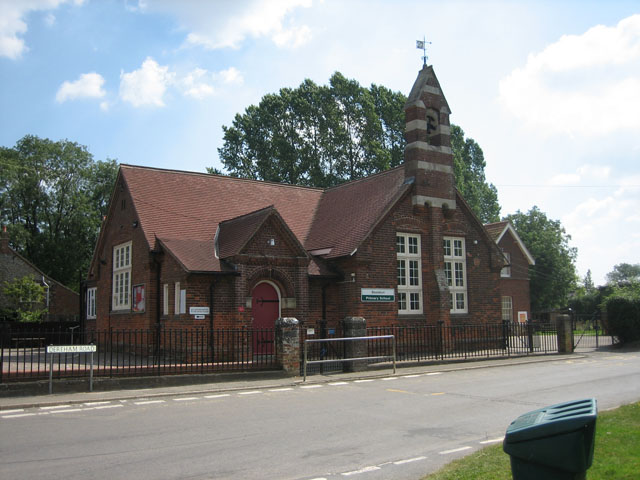
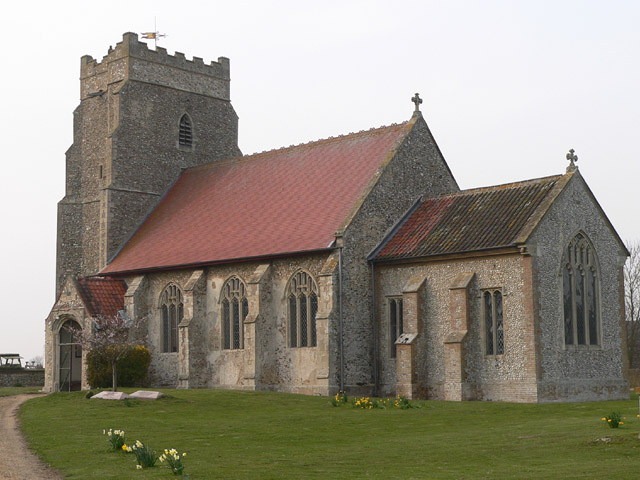
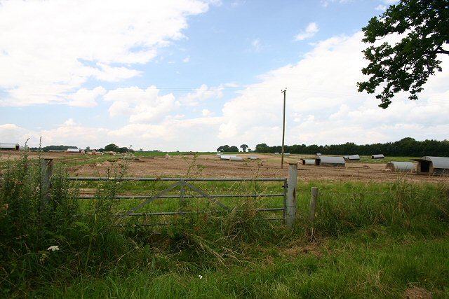
Bellhall Plantation Images
Images are sourced within 2km of 52.720089/0.84743873 or Grid Reference TF9217. Thanks to Geograph Open Source API. All images are credited.


Bellhall Plantation is located at Grid Ref: TF9217 (Lat: 52.720089, Lng: 0.84743873)
Administrative County: Norfolk
District: Breckland
Police Authority: Norfolk
What 3 Words
///ombudsman.animator.aviation. Near East Dereham, Norfolk
Nearby Locations
Related Wikis
Beeston with Bittering
Beeston with Bittering is a civil parish in the Breckland district of Norfolk, England. According to the 2001 census it had a population of 505, increasing...

Horse Wood, Mileham
Horse Wood, Mileham is a 7.1-hectare (18-acre) biological Site of Special Scientific Interest north-west of Dereham in Norfolk.This is an ancient coppice...
Bittering, Norfolk
Bittering is a hamlet in the county of Norfolk, England, now in the civil parish of Beeston with Bittering. It lies west of East Dereham and south of Fakenham...
Beeston, Norfolk
Beeston is a village in the county of Norfolk, England, in the civil parish of Beeston with Bittering , west of East Dereham and south of Fakenham. It...

Mileham
Mileham is a village approximately midway between East Dereham and Fakenham in Mid Norfolk with a population of 563 people in 2011. The village sits astride...
Longham
Longham is a village situated in the Breckland District of Norfolk and covers an area of 540 hectares (2.1 square miles) with a population of 219 in 100...
Grenstein
Grenstein, also known as Gramston or Greynston, was until approximately the 16th century a village in the English county of Norfolk, between Mileham and...

Honeypot Wood
Honeypot Wood is a 9.5-hectare (23-acre) biological Site of Special Scientific Interest west of Dereham in Norfolk. It is managed by the Norfolk Wildlife...
Nearby Amenities
Located within 500m of 52.720089,0.84743873Have you been to Bellhall Plantation?
Leave your review of Bellhall Plantation below (or comments, questions and feedback).